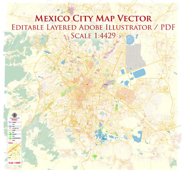
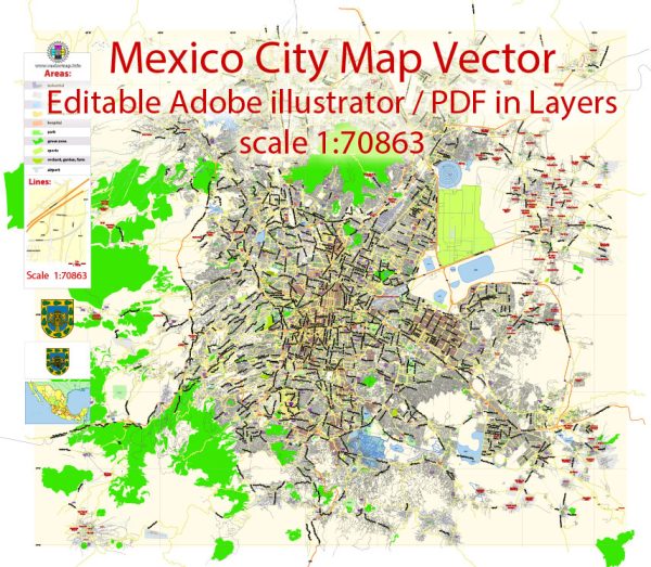
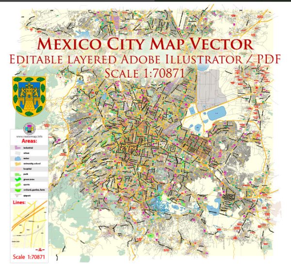
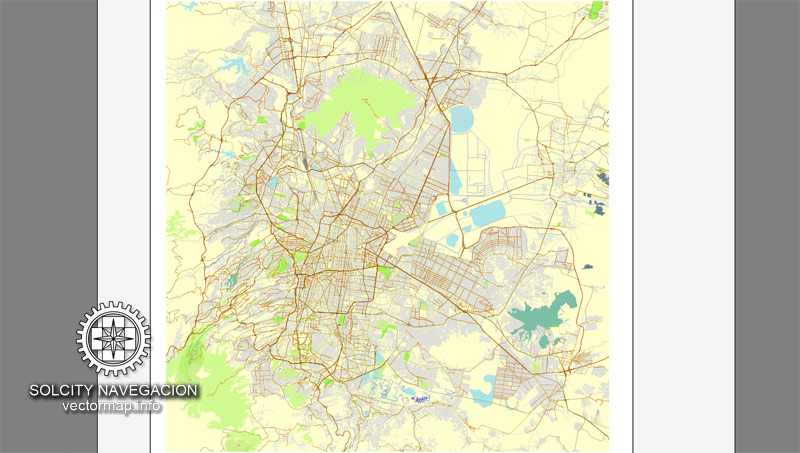
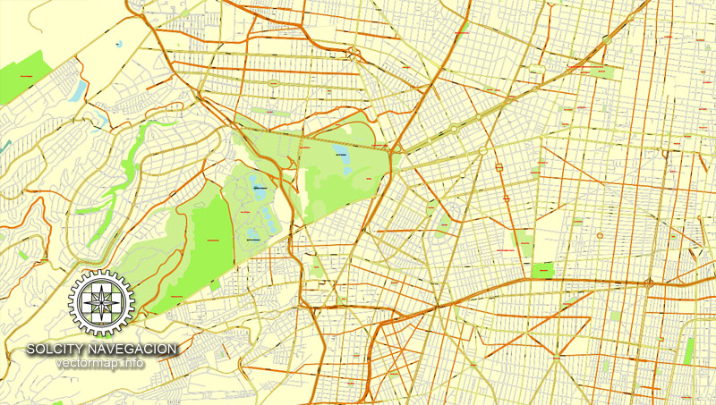
Mexico City mono Full vector map with street names in AI (Illustrator). No buildings, only full street map = City Street Plan
Mexico, North America
Archive size: 33.8 Mb, zipped .AI
DPI: 300
This vector maps of Mexico City is created using 2016 data.
License: Royalty Free
Separated layers, all names in text format.
Good for print in A0 format = 2xA0
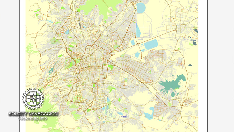
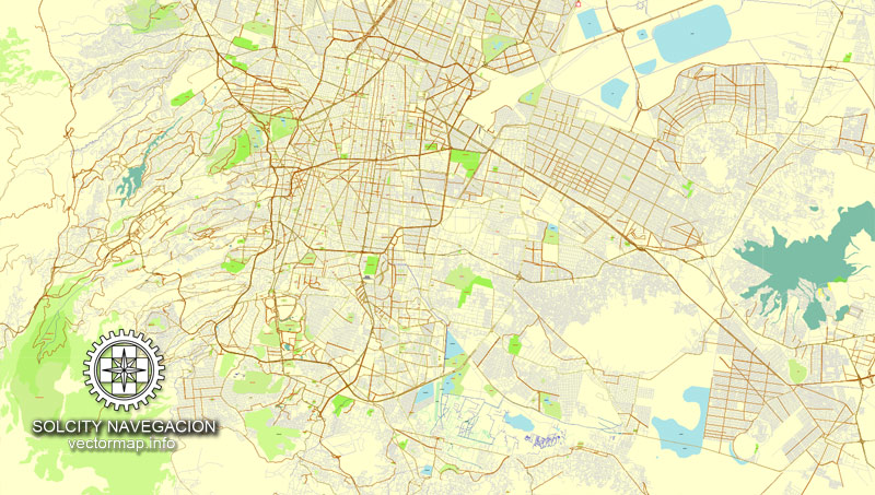
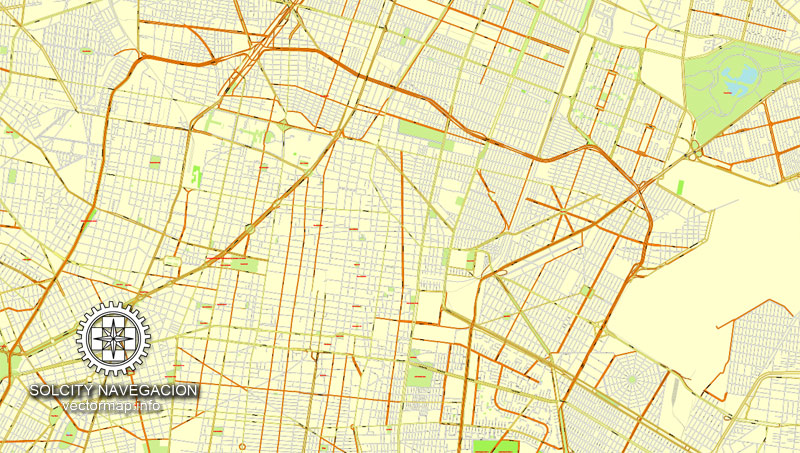
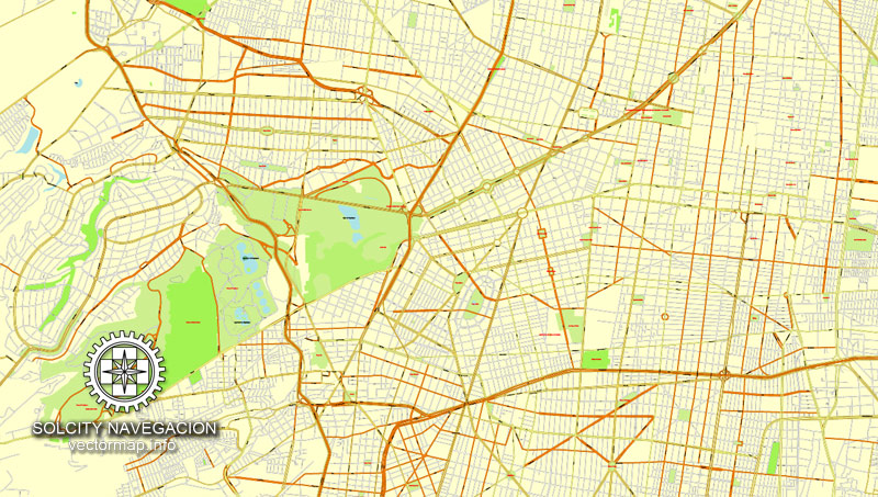
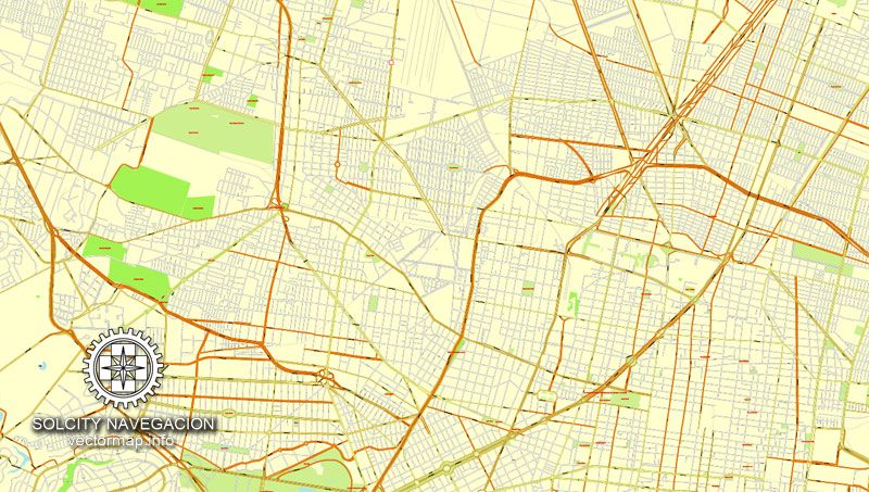
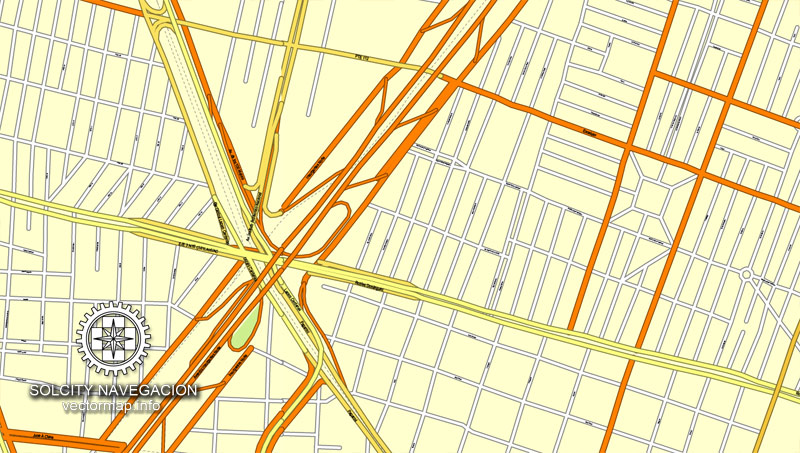
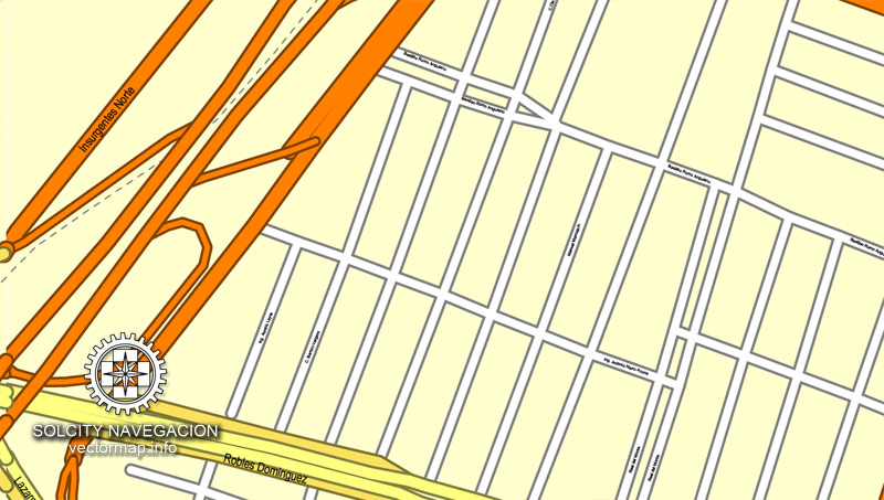
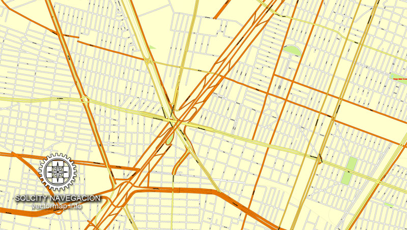
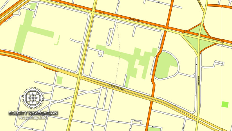
MexicoCity (Mexico) vector maps in Adobe Illustrator format (.AI) features (check the preview images):
Highways with names,
Major Roads,
National Park Borders,
Minor Roads,
Big and small Rivers, small streams also,
Lake, ponds and other water bodies,
Landmark fill,
No buildings,
Recreation zones,
Parks.
By request, if needed:
POI (Points of Interest) like: restaurants, hospital, shops, drugstores, military objects or tourist attractive points.
Our maps can be suited to any size needed. Perfect for presentation or large size printing, like office walls (we are sure, Big Boss wants one of this) or bigboards. We provide detailed maps of Mexico City (Mexico) in AI. Being vector maps, they are completely editable, you can add your company logo or change fonts style, line thickness or borders. Need more objects (POI) on map? We can add it with no extra fee. Separated layers, you can turn on or off layer needed.
Please also check other vector maps of Mexico we have.
You can customize all map data using different vector graphics editors like: Adobe Illustrator, Freehand or CorelDraw, Autocad or Freehand. And also is a fully scalable map, no matter what size you need.
This vector map of Mexico City is available in different vector formats (the same price): .AI, .CDR .DWG, .DXF, .EPS, .PDF.
Royalty Free license. You don`t pay extra: per volume sold; for each use; for period of use.
Mexico City map with big “zoom” without quality degradation. The difference between raster and vector is that vector can be adjusted to any size you need with NO quality loss. Perfect for large-size printing (walls & billboards, tourist map. business map).
Probably, you need more objects to be added? Just tell us, we don`t charge for this work.
Mexico City map (Mexico, North America) in vector.
Our vector map of Mexico City includes maps of the nearest areas (see the preview):
Mexico City vector map for Adobe Illustrator. Purchasing and downloading.
Credit Card and PayPal payment accepted. After the payment you will be redirected to the download page.
We also offer custom mapping. If you need something special – just contact our friendly team.
Es: Ciudad de México mono mapa completo del vector con los nombres de calles en AI (Illustrator). No hay edificios, sólo está lleno callejero = Plan de Calle
México, América del Norte
Tamaño del archivo: 33,8 Mb, con cremallera .AI
DPI: 300
Este vector mapas de la ciudad de México usa la información de 2016.
Licencia: Libre de derechos
Capas separadas, todos los nombres en formato texto.
Bueno para impresión en formato A0 = 2xA0
Praga (República Checa) mapas vectoriales en formato Adobe Illustrator (.AI) cuenta (marcar las imágenes de vista previa):
Carreteras con nombres,
Principales carreteras,
Parque Nacional de Fronteras,
Carreteras secundarias,
Los ríos grandes y pequeños, pequeños arroyos también,
Lago, lagunas y otros cuerpos de agua,
Relleno Landmark,
No hay edificios,
Zonas de recreo,
Parques.
Por petición, si es necesario:
POI (puntos de interés) como: restaurantes, hospitales, tiendas, farmacias, objetos militares o puntos turísticos atractivos.
Nuestros mapas pueden ser adaptados a cualquier tamaño necesario. Perfecto para la presentación o la impresión de gran tamaño, como paredes de la oficina (estamos seguros, Big Boss quiere uno de ello) o billboards. Proporcionamos mapas detallados de la Ciudad de México (México) en la IA. Siendo mapas vectoriales, que son totalmente editable, puede añadir el logotipo de su empresa o cambiar las fuentes de estilo, grosor de línea o fronteras. ¿Necesitas más objetos (POI) en el mapa? Podemos añadir que sin ningún cargo extra. Capas separadas, se puede activar o desactivar la capa sea necesario.
Por favor, compruebe también otros mapas vectoriales de México que tenemos.
Usted puede personalizar todos los datos de los mapas utilizando diferentes editores de gráficos vectoriales como Adobe Illustrator, Freehand o CorelDraw, AutoCAD o Freehand. Y también es un mapa totalmente escalable, sin importar el tamaño que usted necesita.
Este mapa vectorial de la Ciudad de México está disponible en diferentes formatos vectoriales (el mismo precio): .AI, .CDR .DWG, .DXF, .EPS, .PDF.
Imagen de archivo libre de licencia. Usted don `t pagar extra: por volumen vendido; para cada uso; para el período de uso.
Mapa de la Ciudad de México con el “zoom” grande sin degradación de la calidad. La diferencia entre raster y vector es que el vector se puede ajustar a cualquier tamaño que usted necesita sin pérdida de calidad. Perfecto para impresión de gran tamaño (paredes y vallas publicitarias, mapa turístico. Mapa de Negocios).
Probablemente, usted necesita más objetos que se añadirán? Sólo tienes que decirnos, ponemos el `t responsable de este trabajo.
Mapa de la Ciudad de México (México, América del Norte) en el vector.
Nuestro mapa vectorial de la Ciudad de México incluye mapas de las áreas más cercanas (ver la vista previa):
Ciudad de México mapa vectorial para Adobe Illustrator. Compras y descarga.
Tarjeta de crédito y pago de PayPal aceptaron. Después del pago usted será redirigido a la página de descarga.
También ofrecemos asignación personalizada. Si necesita algo especial – sólo en contacto con nuestro equipo.
Small guide: How to work with the vector map?
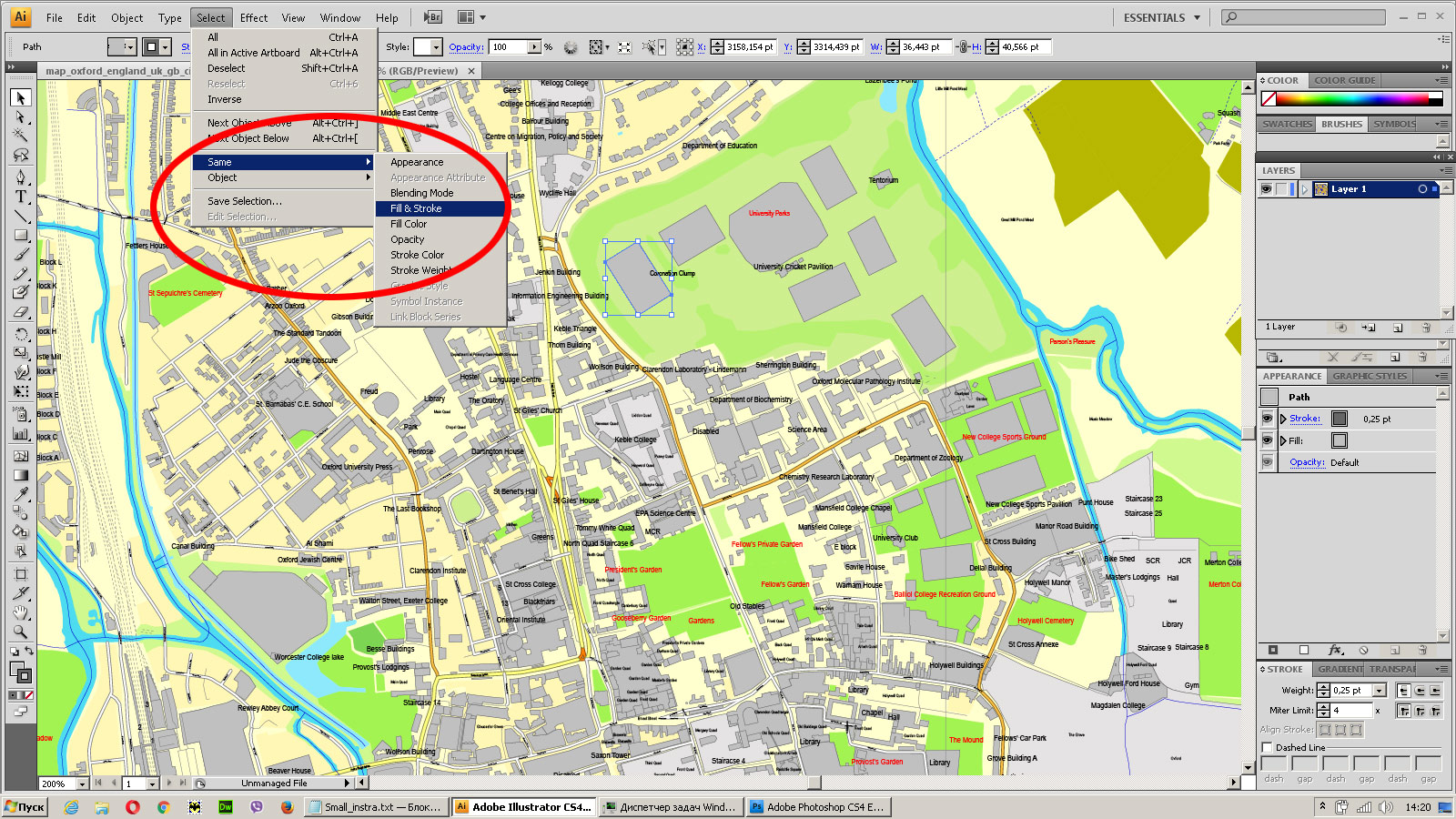
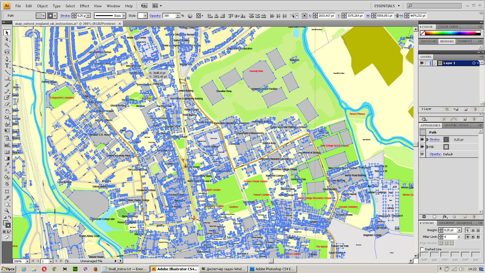
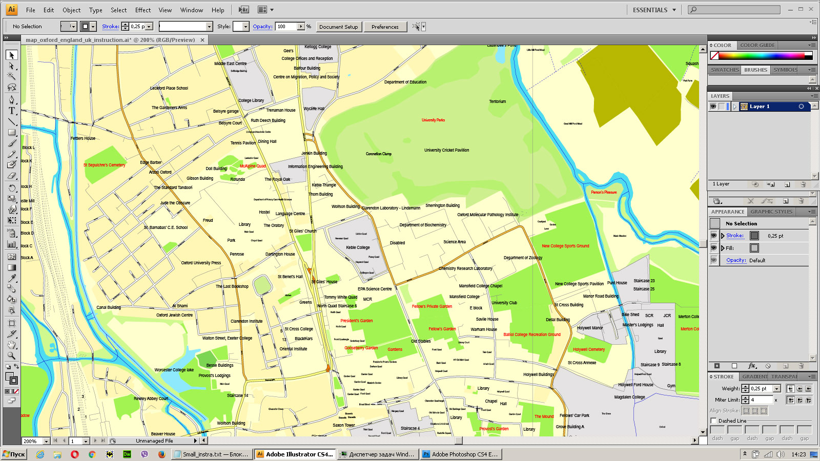
You can: Mass select objects by type and color – for example, the objects type “building” (they are usually dark gray) – and remove them from the map, if you do not need them in your print or design project. You can also easily change the thickness of lines (streets), just bulk selection the road by the line color.
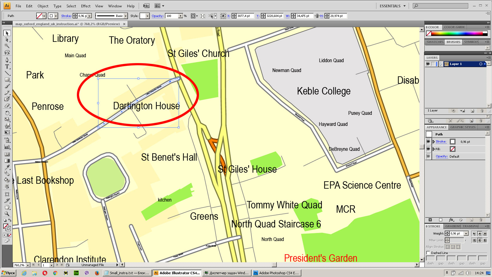
The streets are separated by type, for example, type “residential road” are usually white with a gray stroke. Highway usually orange with a brown or dark gray stroke.
All objects are divided by types: different types of roads and streets, polygons of buildings, landfills, urban areas, parks and more other.
It is easy to change the font of inscriptions, all or each individually. Also, just can be make and any other manipulation of objects on the vector map in Adobe illustrator format.
Important: All the proportions on the map are true, that is, the relative sizes of the objects are true, because Map is based on an accurate GPS projection, and It transated into the (usual for all) the Mercator projection.
You can easily change the color, stroke and fill of any object on the map, zoom without loss of quality Image Verification.
Select object
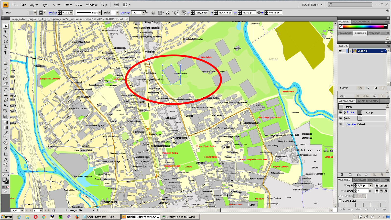
Bulk selection the same objects on the vector map
See the bulk selected objects on the vector map
Bulk delete buildungs from the vector map
Select residencial road (small street) on the vector map
Bulk selection the same lines (streets, roads) on the full map
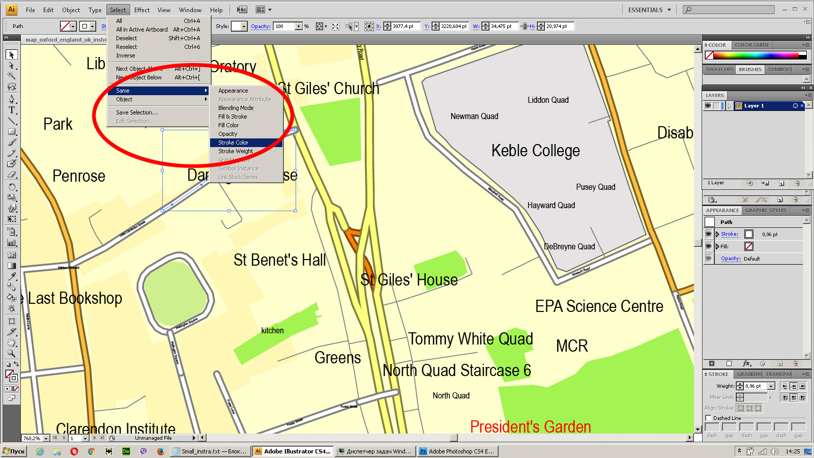
Create fat lines of the streets on the vector maps (bulk action) 1
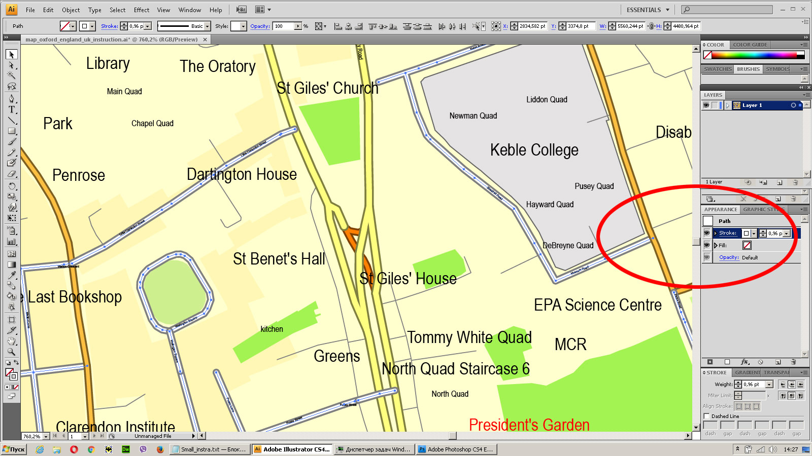
Create fat lines of the streets on the vector maps (bulk action) 2
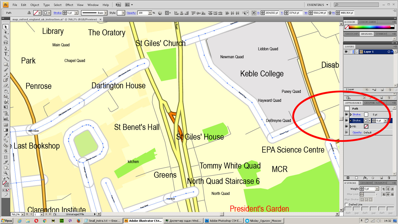
Create fat lines of the streets on the vector maps (bulk action) 3
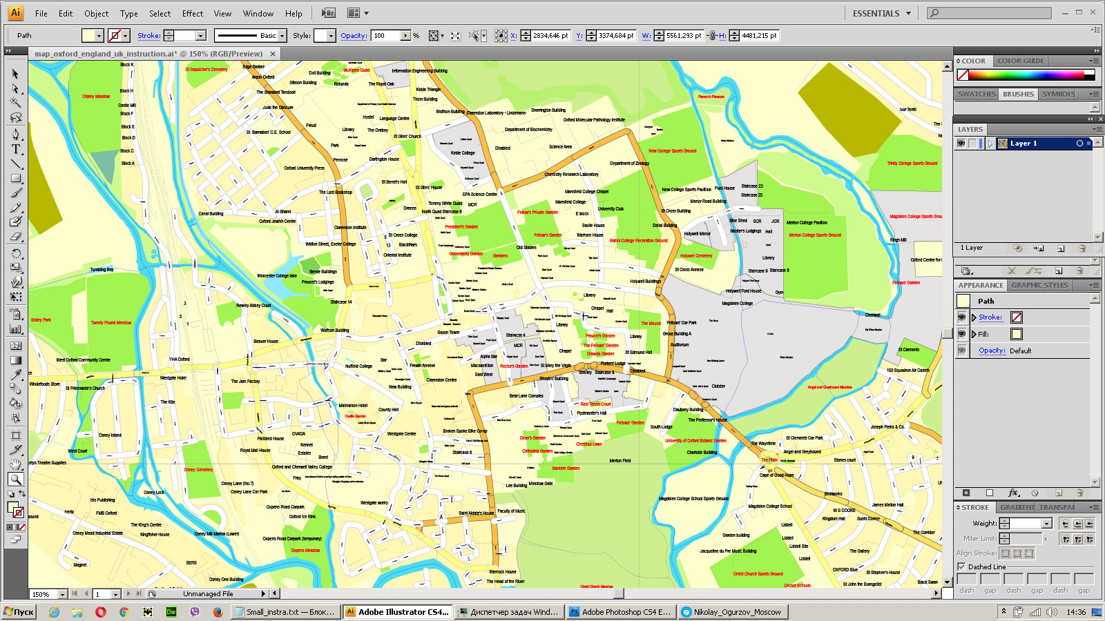
You can easily change the color, stroke and fill of any object on the map, zoom without loss of quality Image Verification.



 Author: Kirill Shrayber, Ph.D. FRGS