Mexico City, the capital and largest city of Mexico, has a rich urban history that dates back to the pre-Columbian era.
Vectormap.Net provide you with the most accurate and up-to-date vector maps in Adobe Illustrator, PDF and other formats, designed for editing and printing. Please read the vector map descriptions carefully.
Here is a detailed overview of the urban history and street system of Mexico City:
- Pre-Columbian Era:
- The region where Mexico City now stands was originally inhabited by the Mexica people, also known as the Aztecs.
- In the 14th century, the Mexica established their capital city, Tenochtitlan, on an island in the middle of Lake Texcoco. The city was characterized by a complex system of canals, causeways, and floating gardens known as chinampas.
- Tenochtitlan became one of the largest and most sophisticated cities in the world at the time, with a well-organized urban layout and impressive architecture, including the Templo Mayor and the Great Pyramid.
- Spanish Colonial Period (16th Century):
- In 1521, Spanish conquistadors, led by Hernán Cortés, conquered Tenochtitlan, marking the beginning of Spanish colonial rule.
- The Spanish destroyed much of the Aztec city and built Mexico City on its ruins. The city was designed based on European urban planning principles, with a central square (Zócalo) and a grid-like street system.
- The main square became the focal point for religious, political, and social activities, with important colonial structures such as the Metropolitan Cathedral and the National Palace.
- Expansion and Modernization (17th-19th Centuries):
- Over the centuries, Mexico City grew both in size and importance. The city’s population expanded, and new neighborhoods and districts emerged.
- The colonial architecture continued to dominate the cityscape, but during the 19th century, influences from Europe, especially France, led to the incorporation of neoclassical and eclectic architectural styles.
- The construction of Paseo de la Reforma, a grand avenue inspired by European boulevards, started in the mid-19th century, connecting the city center with Chapultepec Castle.
- Revolution and 20th Century:
- The Mexican Revolution (1910-1920) had a significant impact on the city. The post-revolutionary period saw efforts to modernize and improve infrastructure.
- Rapid urbanization and population growth led to the expansion of the city’s boundaries, and informal settlements (colonias populares) began to emerge on the outskirts.
- The mid-20th century witnessed the development of modernist architecture, including the construction of iconic buildings such as the Torre Latinoamericana.
- Contemporary Period:
- Today, Mexico City is one of the largest and most populous cities globally, facing challenges such as traffic congestion, air pollution, and informal settlements.
- The city has a diverse and eclectic architectural landscape, with a mix of historic colonial structures, modernist buildings, and contemporary designs.
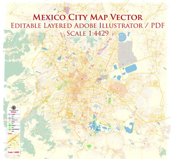
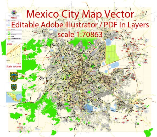
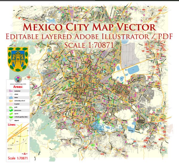
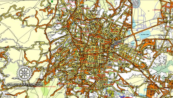
- The street system remains a combination of colonial-era narrow streets in the historic center and a grid layout in other parts of the city.
- Transportation and Infrastructure:
- The city has a comprehensive public transportation system, including the metro, buses, and a network of elevated highways.
- Despite efforts to alleviate traffic congestion, the city still faces transportation challenges, leading to ongoing infrastructure projects and urban planning initiatives.
In summary, Mexico City’s urban history reflects a fascinating blend of indigenous and colonial influences, with ongoing efforts to address contemporary challenges and preserve its rich cultural heritage. The street system reflects the city’s historical evolution, incorporating both colonial-era layouts and modern developments.

 Author: Kirill Shrayber, Ph.D.