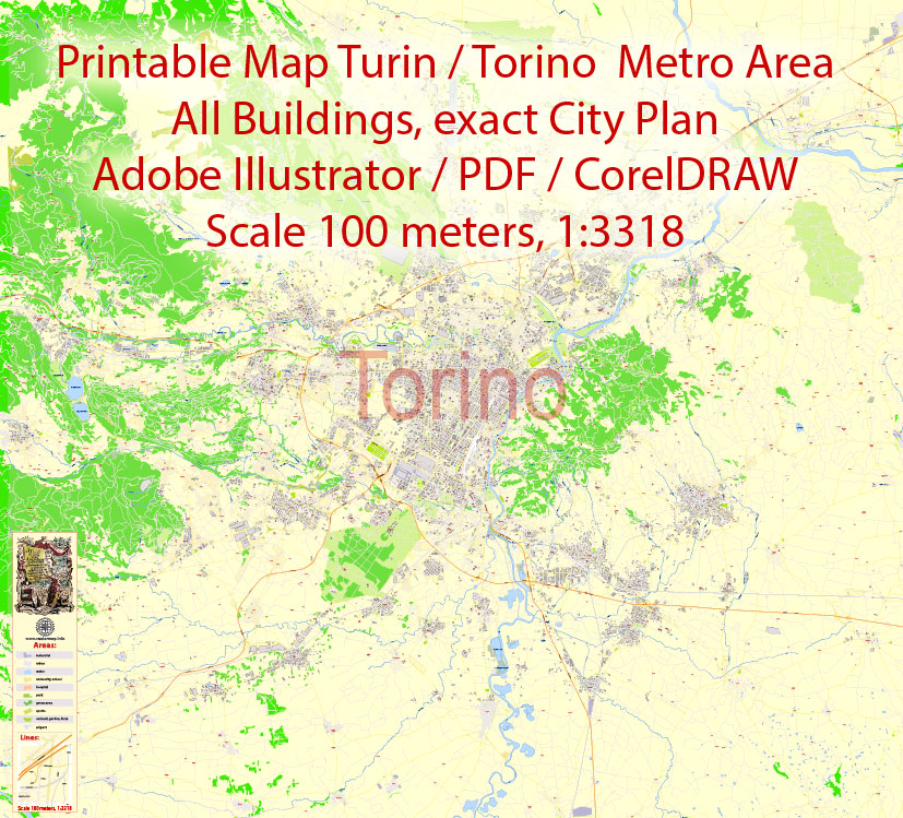
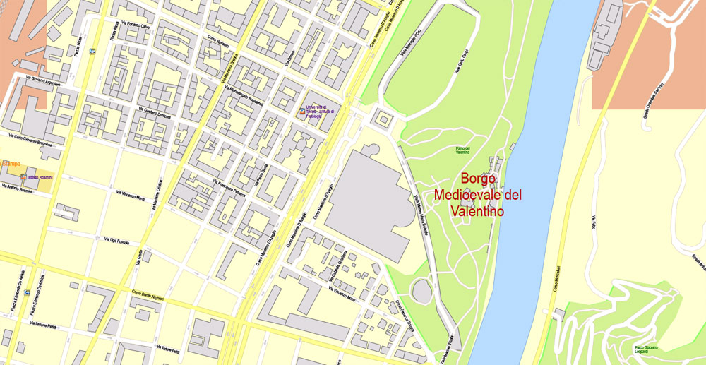
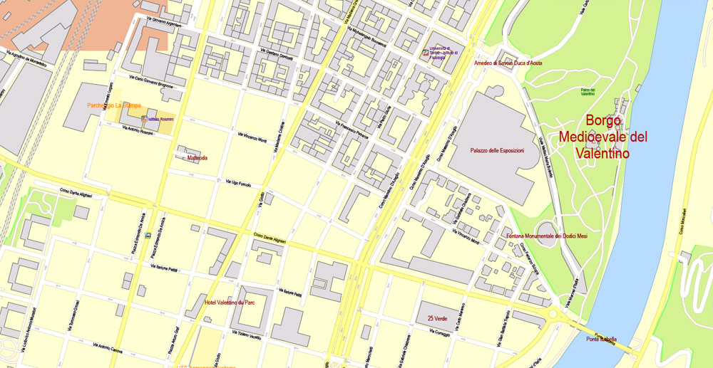
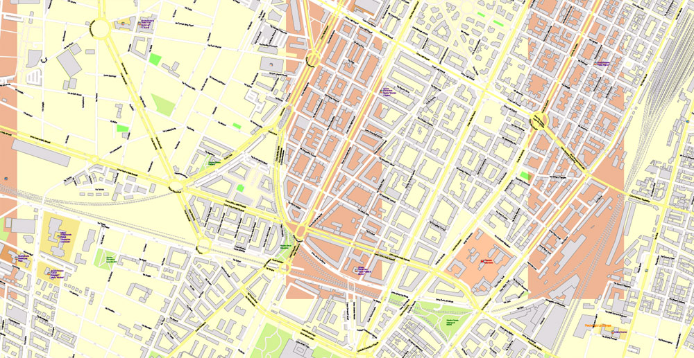
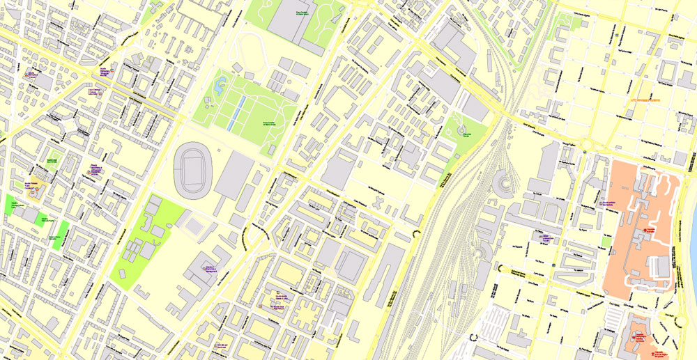
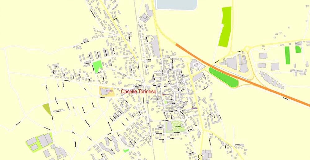
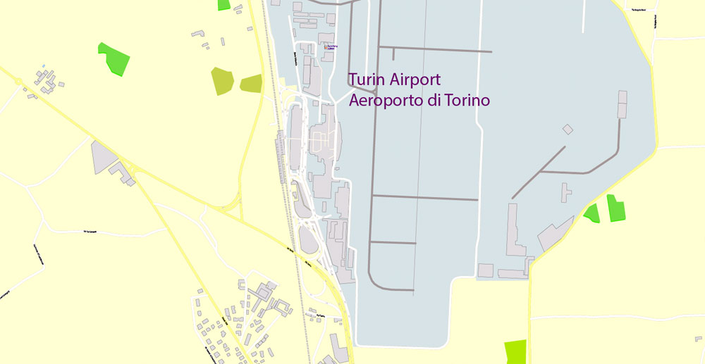
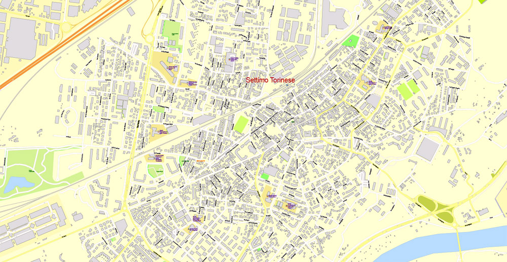
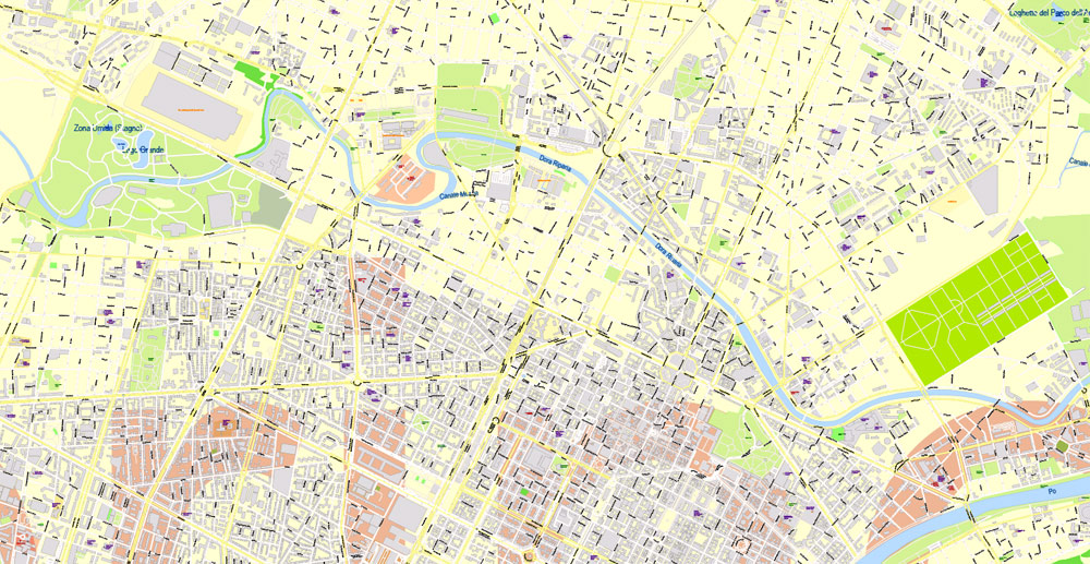
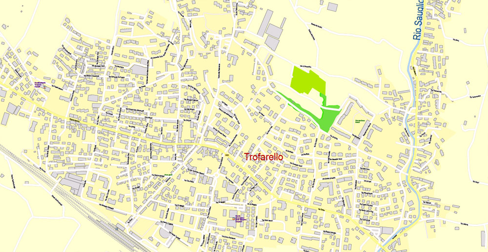
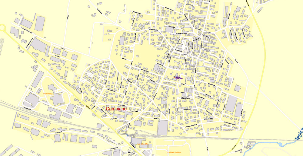
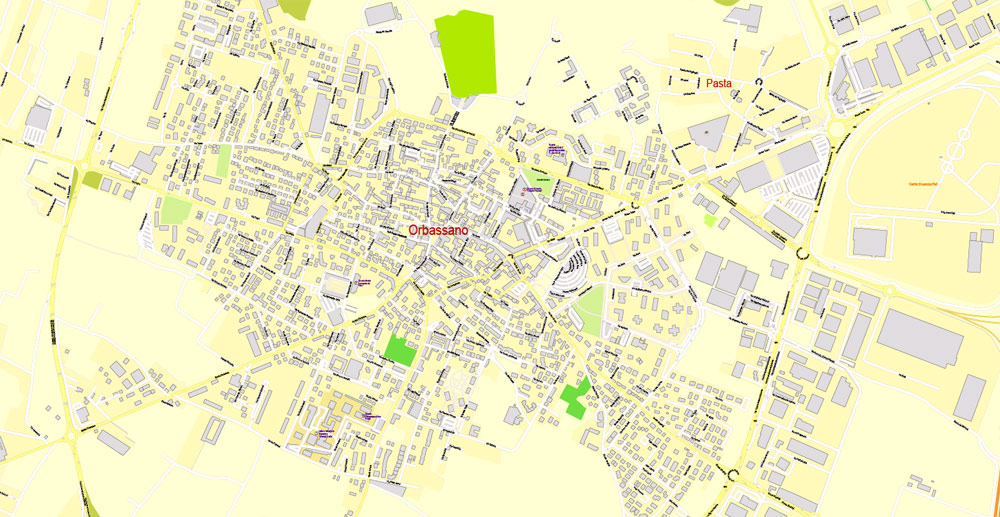
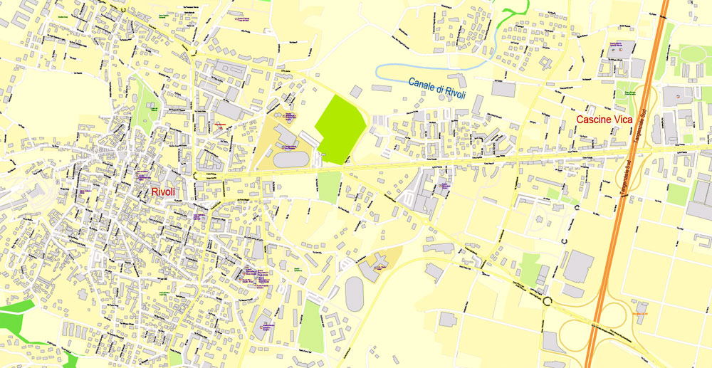
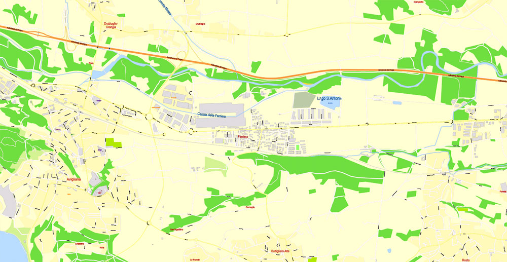
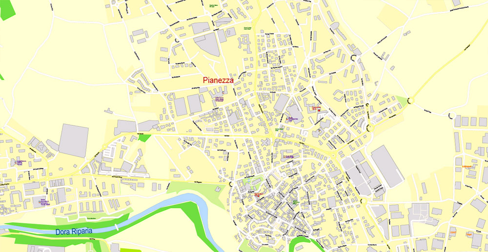
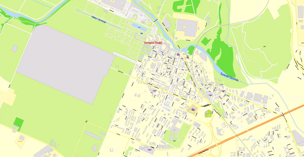
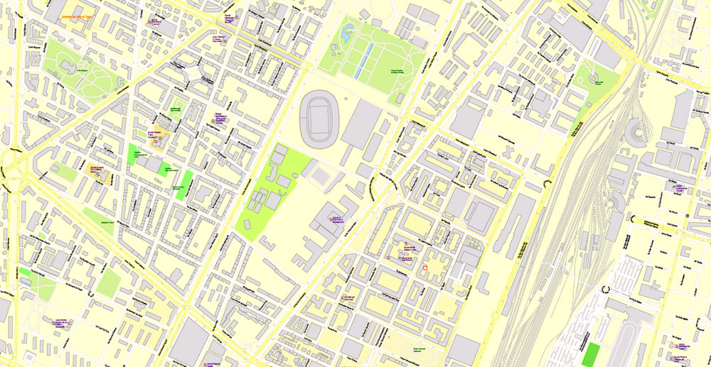
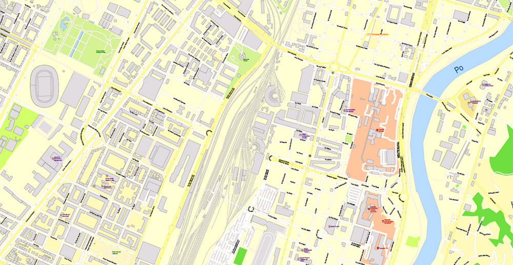
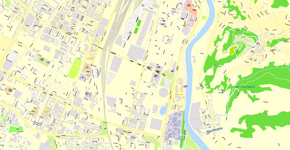
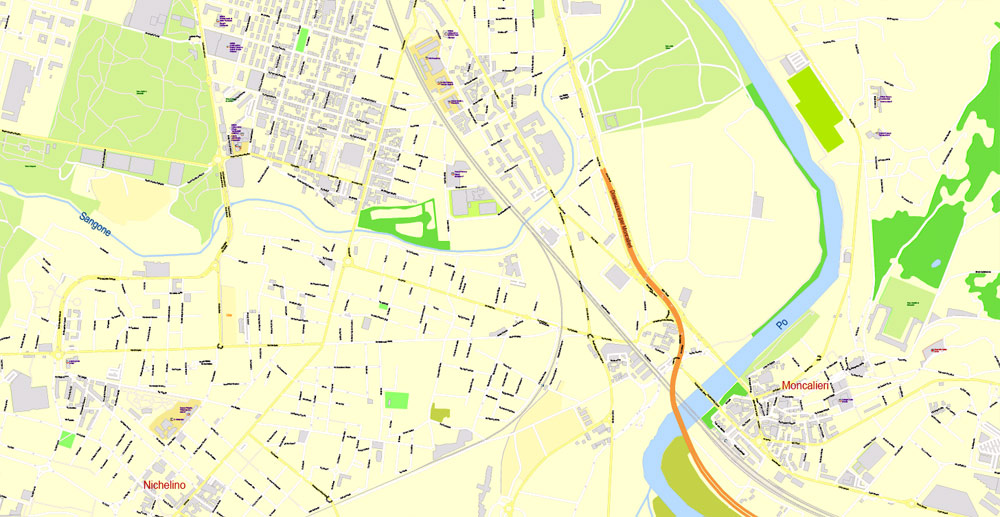
Printable Vector Map Turin / Torino Metro Area, Italy, exact detailed City Plan all Buildings, 100 meters scale map 1:3318, editable Layered Adobe Illustrator, 26 Mb ZIP.
All streets named, main objects. Map for publishing, design, printing, publications, arts, projects, presentations, for architects, designers and builders, business, logistics. The most exact and detailed map of the city.
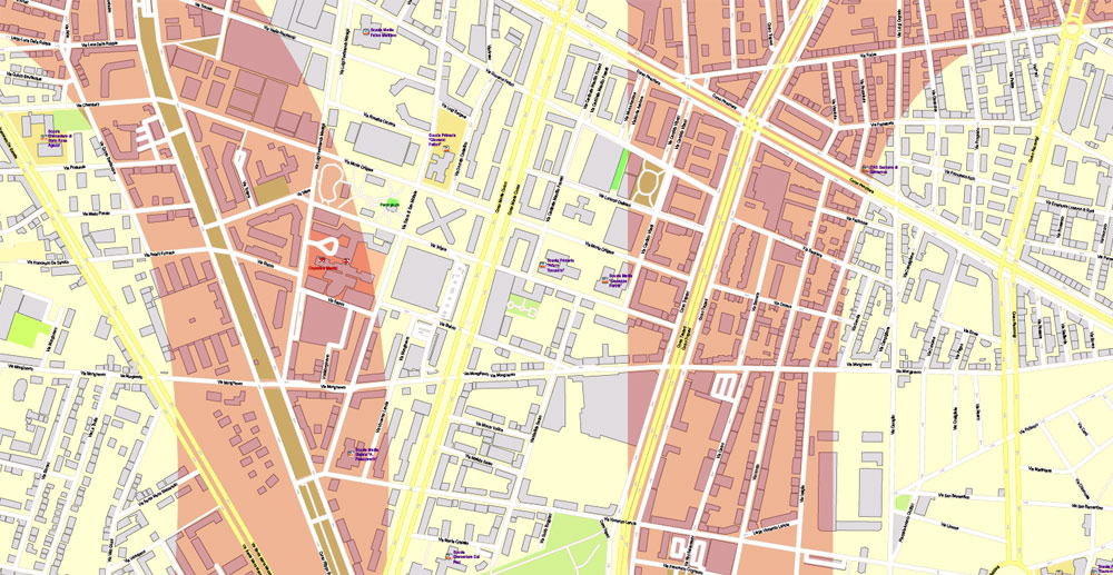
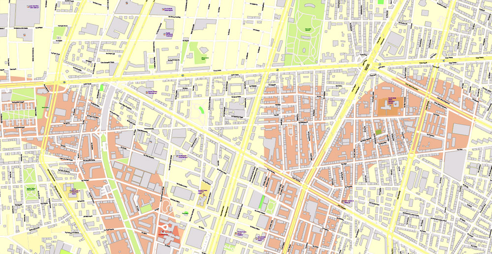
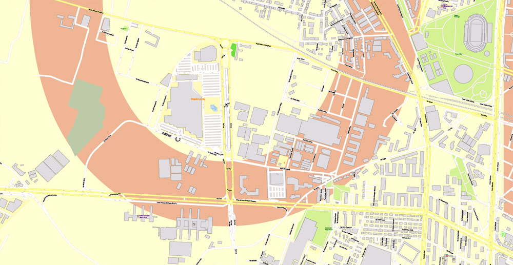
Layers: legend, grids, labels_roads, names_places, names_streets, names_objects, objects, water_objects, names_water, arrows_streets, streets_roads, waterways, color_fills, Buildings, names_buildings, additional layers names_highways, names_water, names_parks.
Text format all names, All Buildings
DWG, DXF, CDR, ESRI Shapes, and other formats – by request, same price, please contact.
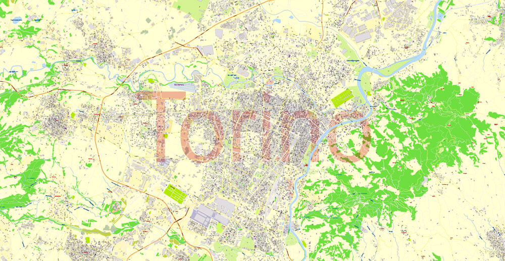
Turin, Italy.
This vector map of Turin city is used as a basis for design, editing, and further printing.
This is the most detailed, exact map of Turin city for high-quality printing and polygraphy. You can always clarify the map development date by contacting us.
For your convenience, all objects on Turin vector city map are divided into layers. And the editing is very easy – colors, lines, etc.
You can easily add any objects needed (e.g. shops, salons, sale points, gas station or attraction) on any layer of Turin vector map.
Turin is a city and an important business and cultural centre in northern Italy. It is the capital city of the Metropolitan City of Turin (an administrative division of Italy) and of the Piedmont region, and was the first capital city of Italy from 1861 to 1865. The city is located mainly on the western bank of the Po River, in front of Susa Valley, and is surrounded by the western Alpine arch and Superga Hill. The population of the city proper is 878,074 (31 July 2018) while the population of the urban area is estimated by Eurostat to be 1.7 million inhabitants. The Turin metropolitan area is estimated by the OECD to have a population of 2.2 million.
One of the advantages of Turin city vector maps of our production is the relevance of cartographic data, we constantly update all our products.
This vector map of Turin city is used by:
designers, layout designers, printers, advertisers and architects. Our product – vector maps – is designed for further editing and printing in large formats – from @Wall format (a few meters) to A-0 and A-1, A-2, A-3.
The Turin city map in vector format is used for design, urban planning, presentations and media visualizations.
The advertising and presentation map of Turin city (usually the final designer marks the routes, and puts the client’s objects (shops, saloons, gas stations etc.)
The undoubted advantage is that people will NEVER throw out this advertising product – the map. In fact, as an advertising medium, a city map is the most “long-playing” of the well-known polygraphic advertising media, with the longest lifespan, and the maximum number of interactions with the customer.
For travelers, maps are sold at the airports and gas stations around the world. Often the source is our vector maps.
Take a look, who purchases our vector maps of Turin city in “Our Clients and Friends” page – these are large and small companies, from super-brands like Volvo and Starbucks, to small design studios and printing houses.
It’s very easy to work with vector maps of Turin city, even for a not very experienced designer who can turn on and off the map layers, add new objects, change the colors of fill and lines according to customer requirements.
The undoubted advantage of Turin city vector maps in printing is an excellent and detailed visualization, when customer can expand a large paper map and instantly define his location, find a landmark, an object or address on map, unlike using the popular electronic formats of Google and Yandex maps for example.
Printable vector maps of Turin city are much more convenient and efficient than any electronic maps on your smartphone, because ALL DETAILS are displayed in the entire space of Turin city map.
Useful tips on working with vector maps of cities and countries in Adobe Illustrator.
«V» – launches the Selection tool (cursor, black arrow), which makes active any vector line.
«А» – launches the Direct Selection tool (white cursor), allows you to select curve elements and drag them to the desired place.
«R» – activates the Rotate tool, which helps you rotating selected objects around the center point by 360 degrees.
«E» – gives you the opportunity to use the Eraser tool and erase unnecessary parts.
«X» – switches between Fill and Stroke in the Tools section. Try to get used to this hot key and
you will quickly understand that you can’t live and work without it.
Guides are not limited to vertical and horizontal in Adobe Illustrator. You can also create a diagonal guide for example. Moreover, you can turn any contours into guides. Select the outline and go to View > Guides > Make Guides (Create Guides), or simply press Cmd/Ctrl + 5. You can also turn the guides back into an editable object. Go to menu, View > Guides > Unlock Guides (Release Guides), select the guide you want to edit and select View > Guides > Release Guides (Reset Guides), or just press Cmd/Ctrl + Option / Alt + 5).
You will probably want to change the color scheme used on our Turin vector city map.
To quickly and effectively play with colors.
Of course, you can do it manually, all objects in our Turin city vector map are divided according to types and layers, and you can easily change the color gamma of vector objects in groups and layers.
The city has a rich culture and history, being known for its numerous art galleries, restaurants, churches, palaces, opera houses, piazzas, parks, gardens, theatres, libraries, museums and other venues. Turin is well known for its Renaissance, Baroque, Rococo, Neo-classical, and Art Nouveau architecture. Many of Turin’s public squares, castles, gardens and elegant palazzi such as the Palazzo Madama, were built between the 16th and 18th centuries. A part of the historical center of Turin was inscribed in the World Heritage List under the name Residences of the Royal House of Savoy.
But there is more effective way of working with the whole VECTOR MAP of Turin city and all layers:
The overview dialog «Edit colors»/«Repaint Graphic Object» (this dialog box name can change depending on the context):
If you have selected a part or a layer of Turin city vector map and open the dialog box by clicking the icon in the Control panel, on the Samples palette or the Color Catalog, or if you choose Edit > Edit Colors> Repaint Graphic Object, then the «Repaint Graphic Object» dialog box appears, and you get access to «Assign» and «Edit» tabs.
If a picture or a map fragment is not selected, and you open the dialog box by clicking the icon in the Control panel, on the Samples palette or in the Color Catalog, the «Edit Colors» dialog box appears and you can only access the «Edit» tab.
Regardless of the name at the top of the dialog box, the right-hand side always displays the color group of the current document, as well as two default color groups: Print Color and Grayscale. These color groups can be selected and used any time.
Create and edit color groups of Turin city vector map, and also assign colors using the «Edit Colors»/ а «Repaint Graphic Object» dialog box.
A. Creating and editing of a color group on the «Edit» tab
B. Assigning colors on the «Assign» tab
C. Select a group of colors from the «Color groups» list
The option «Repaint a graphic object» in the lower part of the dialog box allows you to preview the colors on a selected layer of Vector map, or a group of elements, and specify whether its colors will be redefined when the dialog box is closed.
The main areas of the dialog box are:
«Edit»
The «Edit» tab is designed to create a new or edit the existing color groups.
The harmony rules Menu and the Color Wheel are used to conduct experiments with color harmonies. The color wheel shows how colors are related in color harmony, and the color bars allow you to view and manipulate an individual color values. In addition, you can adjust the brightness, add and remove colors, save color groups and view colors on the selected Vector Map of Turin city or a separated layers.
«Assign»
The «Assign» tab is used to view and control on how the original colors are replaced with colors from the color group like your corporate colors in the Vector Map of Turin city.
The assign color ability is provided only if the entire map, layer or fragment is selected in the document. You can specify which of new colors replace the current colors, whether the spot colors should be preserved and how colors are replaced (for example, you can replace colors completely or changing the color tone while maintaining the brightness). The «Assign» tab allows you to redefine colors in the Vector Map of Turin city, or in separate layers and fragments using the current color group or reducing the number of colors in the current Vector Map.
Color groups
Is a list of all saved color groups for current document (the same groups appear in the «Samples» palette). You can edit and delete the existing color groups, as well as creating a new ones using the list of “Color Groups” in the dialog box. All changes appear in the «Samples» palette.
The highlighted color group shows, which color group is currently edited.
Any color group can be selected and edited, or used to redefine the colors in the selected vector map of Turin city, its fragments or elements.
Saving a color group adds this group to the specified list.
Opening the «Edit Colors»/«Repaint Graphic Object» dialog box.
Open the «Edit Colors»/«Repaint Graphic Object» dialog box using one of the following methods:
«Edit»> «Edit Colors»> «Repaint Graphic object» or «Repaint With Style».
Use these commands if you need to edit the colors in the selected vector map of Turin city.
«Repaint Graphic object» button on the «Control» panel.
Use this button if you need to adjust colors of Turin city vector map using the а «Repaint graphic object» dialog box.
The specified button is available if the selected vector map or its fragment contains two or more colors.
Note. This color editing method is convenient for global color adjustment in a vector map, if global colors were not used when creating a City Map of Turin.
The «Edit colors» button or «Edit or apply colors» on the «Color Catalog» palette
Click this button if you need to edit colors on the «Color Catalog» palette or edit and then apply them to the selected Vector Map of Turin city or its fragment.
The «Edit color group» button or «Edit or apply color group» on the «Samples» palette.
Click this button if you need to edit the colors in the specific color group or edit and apply them to the selected Vector Map of Turin city or a group of its elements, for example, the whole layer “Streets and lines”. You can also double-click the color group in the Samples panel to open the dialog box.
If the map file is too large and your computer freezes or even can’t open it quickly:
1. Try to reduce the color resolution of the video card (display) to 256 colors while working with a large map.
2. Using Windows Task Manager, select all the application you don’t need, while working with map, just turn them off.
3. Launch Adobe Illustrator. (DO NOT OPEN the vector map file)
4. Start the Windows Task Manager using administrator rights > Find the “Illustrator” process > set the «real time» priority,
5. Open the file. When you see the LEGACY FONT popup window – click “OK” (do not update). You can restore the TEXT later.
6. Can also be useful: When file is opened – Edit > Settings > Basic Settings > disable smoothing. /// It looks scary, but works quickly)))
We recommend saving the file in Adobe Illustrator 10 version. It’s much more stable when working with VERY BIG size files.
The city used to be a major European political center. From 1563, it was the capital of the Duchy of Savoy, then of the Kingdom of Sardinia ruled by the Royal House of Savoy, and the first capital of the unified Italy (the Kingdom of Italy) from 1861 to 1865. Turin is sometimes called “the cradle of Italian liberty” for having been the birthplace and home of notable individuals who contributed to the Risorgimento, such as Cavour.
The city currently hosts some of Italy’s best universities, colleges, academies, lycea and gymnasia, such as the University of Turin, founded in the 15th century, and the Turin Polytechnic. In addition, the city is home to museums such as the Museo Egizio and the Mole Antonelliana. Turin’s attractions make it one of the world’s top 250 tourist destinations and the tenth most visited city in Italy in 2008.
Even though much of its political significance and importance had been lost by World War II, Turin became a major European crossroad for industry, commerce and trade, and is part of the famous “industrial triangle” along with Milan and Genoa. Turin is ranked third in Italy, after Milan and Rome, for economic strength. With a GDP of $58 billion, Turin is the world’s 78th richest city by purchasing power. As of 2010, the city has been ranked by GaWC as a Gamma World city. Turin is also home to much of the Italian automotive industry.
Turin is well known as the home of the Shroud of Turin, the football teams Juventus F.C. and Torino F.C., the headquarters of automobile manufacturers FIAT, Lancia and Alfa Romeo, and as host of the 2006 Winter Olympics.
Turin is located in northwest Italy. It is surrounded on the western and northern front by the Alps and on the eastern front by a high hill that is the natural continuation of the hills of Monferrato. Four major rivers pass through the city: the Po and three of its tributaries, the Dora Riparia (once known as Duria Minor by the Romans, from the Celtic noun duria meaning “water”), the Stura di Lanzo and the Sangone.
Turin
City in Italy
Turin is the capital city of Piedmont in northern Italy, known for its refined architecture and cuisine. The Alps rise to the northwest of the city. Stately baroque buildings and old cafes line Turin’s boulevards and grand squares such as Piazza Castello and Piazza San Carlo. Nearby is the soaring spire of the Mole Antonelliana, a 19th-century tower housing the interactive National Cinema Museum.
Area
• Total 130.17 km2 (50.26 sq mi)
Elevation 239 m (784 ft)
Population
• Total 886,837
• Density 6,800/km2 (18,000/sq mi)
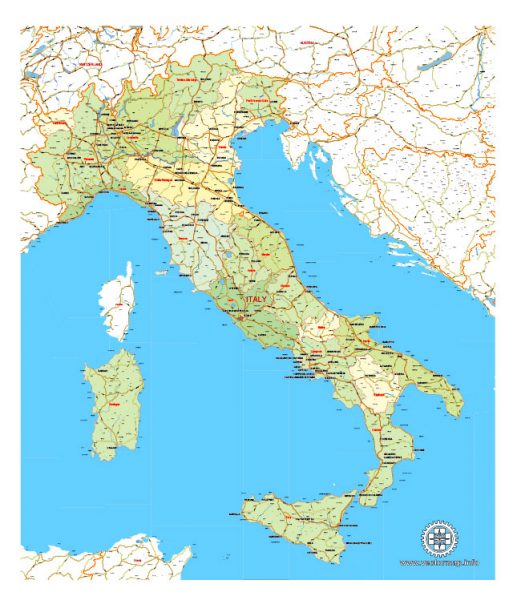
See Also: Full Map of Italy
Free vector maps:

Free download printable map Europe vector Adobe Illustrator >>>
Free download printable PDF map Europe vector Adobe PDF >>>

 Author: Kirill Shrayber, Ph.D. FRGS
