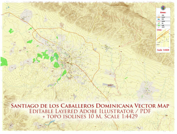
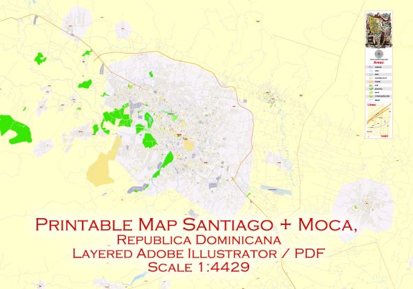
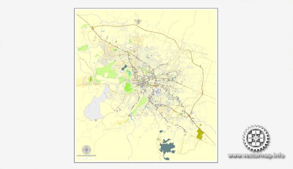
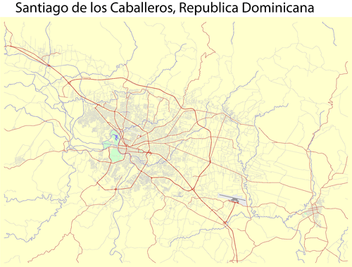
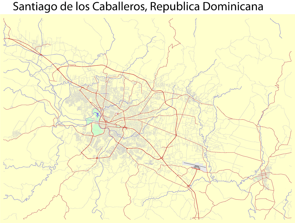
Santiago de Los Caballeros Map Vector Adobe Illustrator Editable City Plan Dominicana
Full detailed vector map of Santiago de Los Caballeros, exact scale, the ability to bind to the coordinates. All the streets and roads. The names of the streets: shifted to the horizontal.
For the design, printing. Editable map. Adobe Illustrator CS4
Completo mapa vectorial detallada de Gran Santiago de Los Caballeros, escala exacta, la capacidad de unirse a las coordenadas. Editable map.
Todas las calles y carreteras. Los nombres de las calles: desplazan a la horizontal.
Adobe Illustrator CS.4. Para el diseño, impresión.
- Instant download after payment
- Commercial use license included (full)
- Operated by SolCity Nav LLC (DE, USA)
You can use this map in commercial projects, prints, media, and client work.



 Author: Kirill Shrayber, Ph.D. FRGS