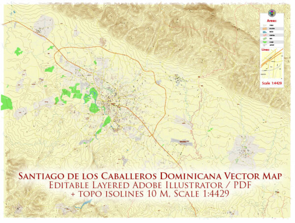
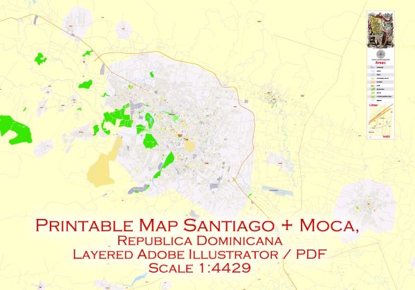
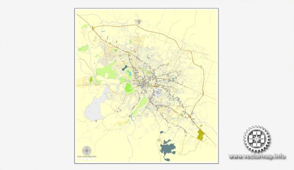
A general description of Santiago de los Caballeros in the Dominican Republic, including some information about its waterways, bridges, and main streets. Vectormap.Net provide you with the most accurate and up-to-date vector maps in Adobe Illustrator, PDF and other formats, designed for editing and printing. Please read the vector map descriptions carefully.
Santiago de los Caballeros: Santiago de los Caballeros, often referred to simply as Santiago, is the second-largest city in the Dominican Republic, located in the Cibao Valley. It is a major economic, cultural, and transportation hub in the country.
Waterways: Santiago de los Caballeros is not directly situated along a major river or coastline. However, the Yaque del Norte River, one of the largest rivers in the Dominican Republic, flows relatively close to the city. While the river itself doesn’t run through Santiago, it plays a significant role in the region’s geography and water supply.
Bridges: There are several bridges in Santiago that facilitate transportation across the city. Some notable bridges may include those that span over the Yaque del Norte River or other smaller water bodies. The specifics of these bridges can change, so it’s advisable to check with local sources or recent maps for the latest information.
Main Streets: Santiago has a network of streets and avenues that connect different parts of the city. Some of the main streets include:
- Avenida 27 de Febrero: This is one of the main avenues in Santiago, lined with businesses, shops, and offices. It serves as a central artery in the city.
- Avenida Juan Pablo Duarte: Another important avenue in Santiago, named after one of the founding fathers of the Dominican Republic, Juan Pablo Duarte.
- Avenida Estrella Sadhalá: This avenue is known for its commercial activity, including shopping centers and restaurants.
- Calle del Sol: A popular street in the city center, known for its historical and cultural significance.
- Avenida Francia: This avenue connects various parts of the city and is often used for both residential and commercial purposes.
Keep in mind that the city’s infrastructure and urban layout may have evolved, so it’s recommended to consult local maps or updated sources for the most accurate and current information.


 Author: Kirill Shrayber, Ph.D.