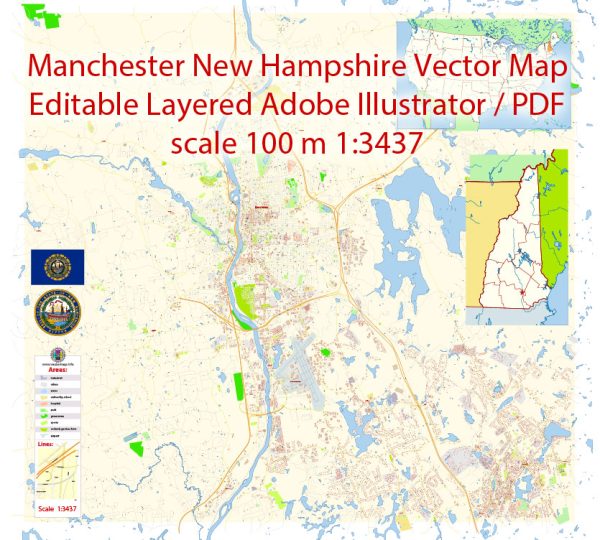
Manchester, New Hampshire, is divided into several neighborhoods and districts, each with its own character and amenities. While the city doesn’t have officially designated districts, residents often refer to various neighborhoods based on historical, geographical, or cultural distinctions.
Vectormap.Net provide you with the most accurate and up-to-date vector maps in Adobe Illustrator, PDF and other formats, designed for editing and printing. Please read the vector map descriptions carefully.
Here are some notable neighborhoods and districts in Manchester:
- Downtown:
- The heart of the city, downtown Manchester, is known for its historic architecture, businesses, and cultural attractions.
- Elm Street, the main thoroughfare, is lined with shops, restaurants, and theaters.
- The Millyard district, once an industrial area, is now home to tech companies, offices, and the SEE Science Center.
- Milford Street Area:
- Located near the Millyard, this neighborhood offers a mix of residential and commercial spaces.
- It has seen redevelopment in recent years, attracting new businesses and residents.
- North End:
- The North End is a predominantly residential area known for its historic homes, tree-lined streets, and parks.
- It is considered one of the more affluent neighborhoods in the city.
- South End:
- The South End is a diverse neighborhood with a mix of residential and commercial properties.
- It has several parks, schools, and is known for its community-oriented atmosphere.
- West Side:
- The West Side is characterized by its strong sense of community and neighborhood pride.
- It features parks like Rock Rimmon and is known for its schools and recreational facilities.
- Straw/Smyth Road Area:
- This area is known for its suburban feel, with residential neighborhoods, schools, and parks.
- It provides a quieter living environment while still being relatively close to the city center.
- Bakersville:
- Bakersville is a residential neighborhood with a mix of housing options.
- It has schools, parks, and is known for its family-friendly atmosphere.
- Hallsville:
- Hallsville is another neighborhood in Manchester with a mix of residential and commercial areas.
- It has parks and schools and offers a diverse community atmosphere.
- Kalivas Union:
- This area is known for its cultural diversity and is home to various ethnic communities.
- It features a mix of businesses, religious institutions, and community organizations.
- Piscataquog/Granite Square:
- Located on the west side, this area has a mix of residential and commercial properties.
- It is known for its parks, schools, and proximity to the Piscataquog River.
These neighborhood descriptions provide a broad overview, and each area has its unique charm and community spirit. Residents often identify strongly with their neighborhoods, contributing to the city’s vibrant and diverse character. Keep in mind that community dynamics and neighborhood development can change over time, so it’s advisable to check for the latest information if you’re considering living in or exploring a specific area in Manchester.


 Author: Kirill Shrayber, Ph.D.