Extended Description of the Vector Map
Printable Vector Map Leicestershire UK high detailed editable layered Adobe Illustrator scalable, editable text format all names, 58 MB ZIP
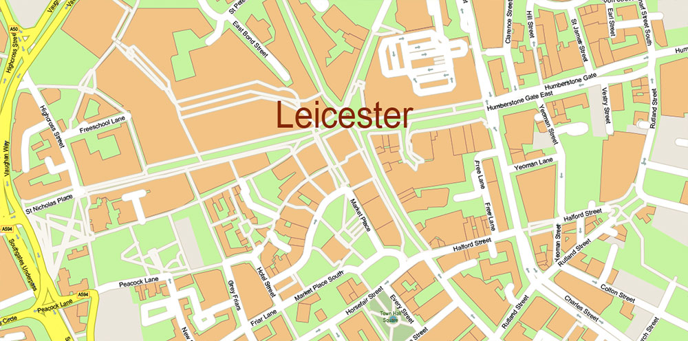
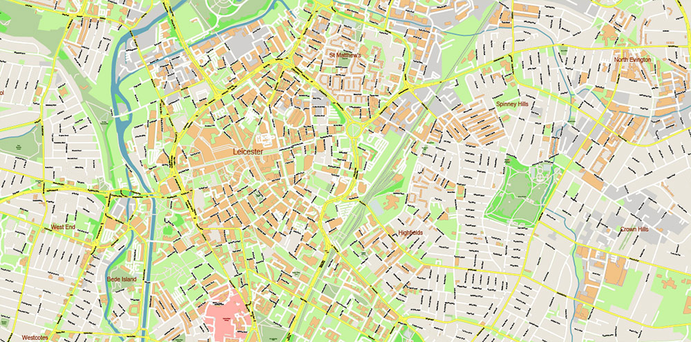
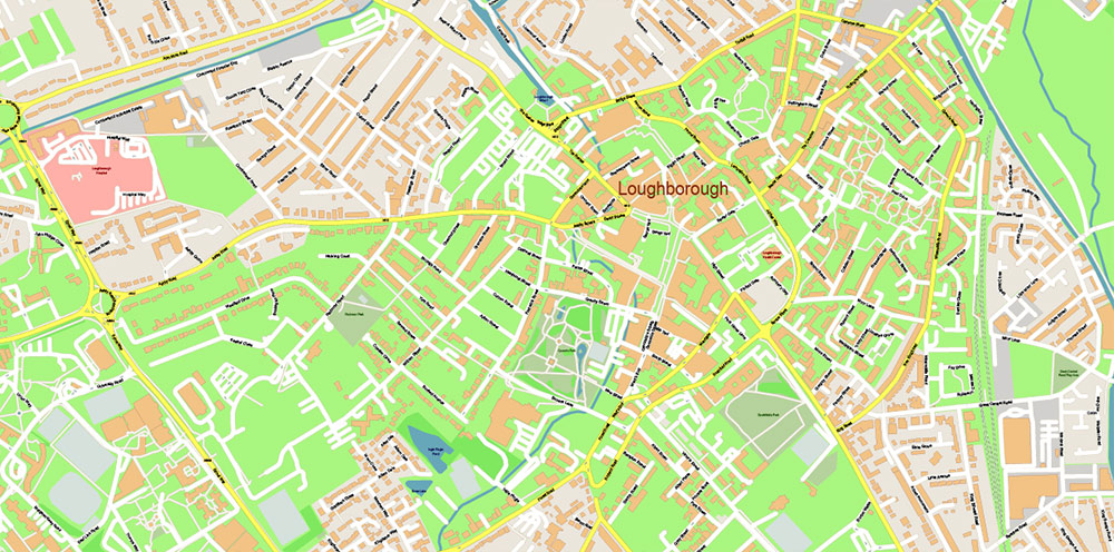
Names all streets, admin areas, buildings.
Map for design, printing, arts, projects, presentations, for architects, designers, and builders, business, logistics.
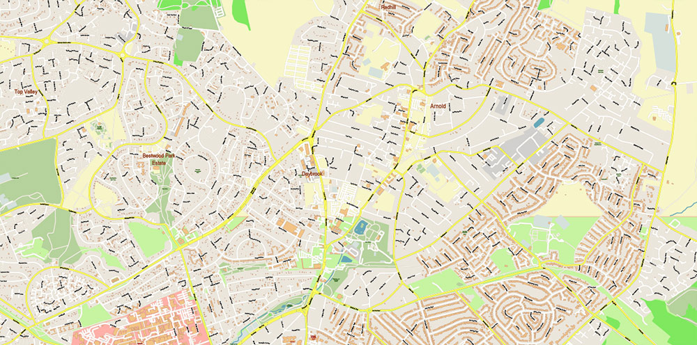
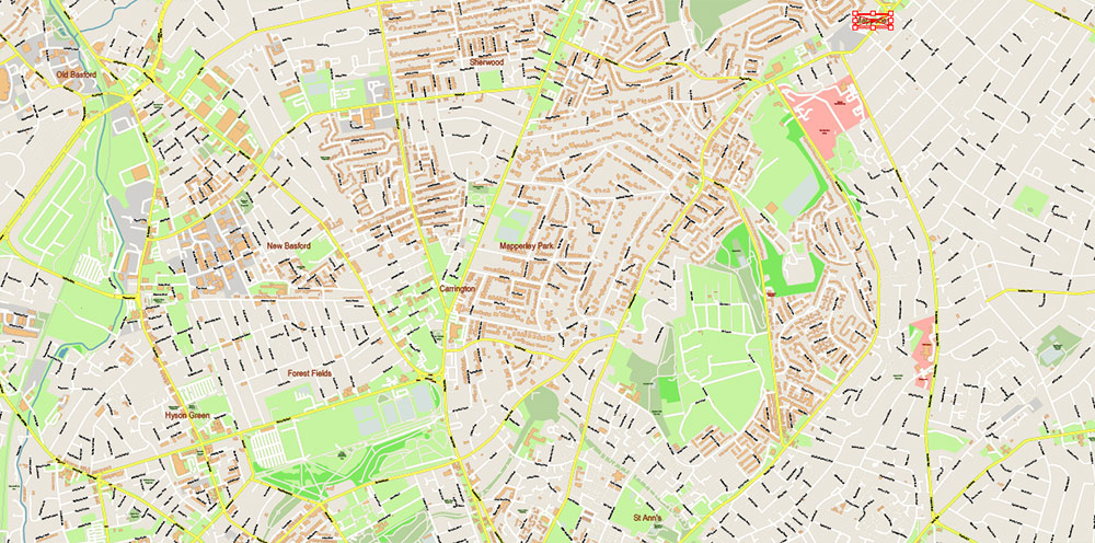
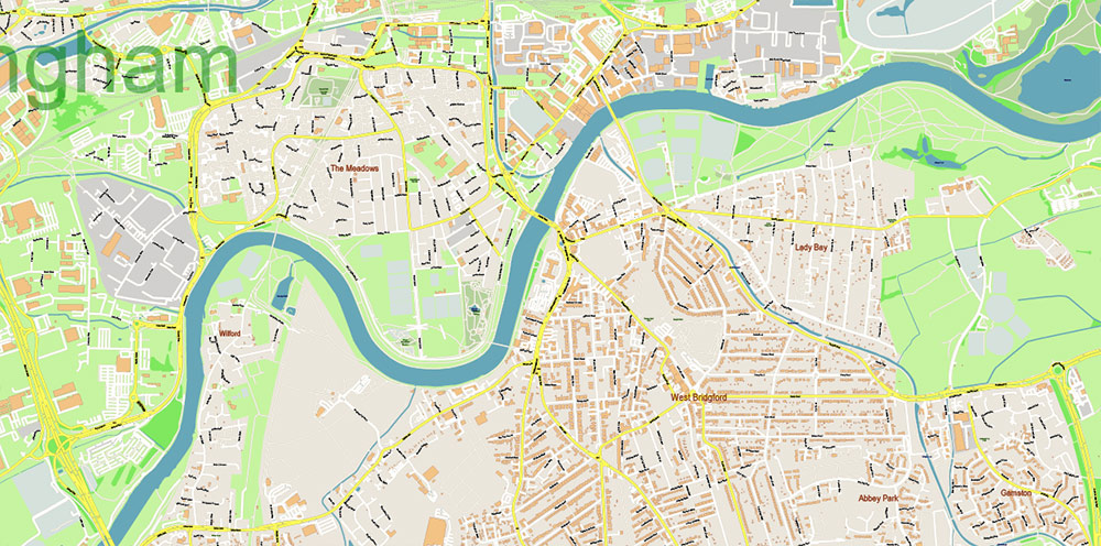
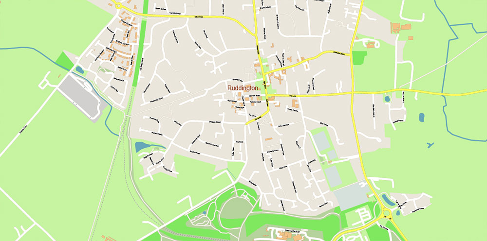
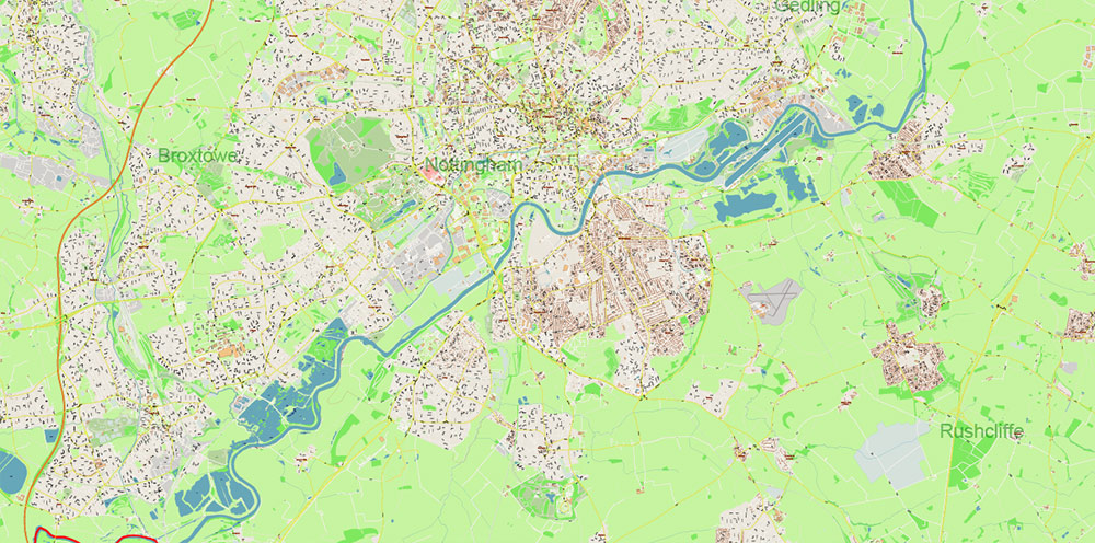
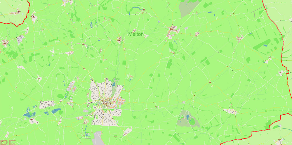
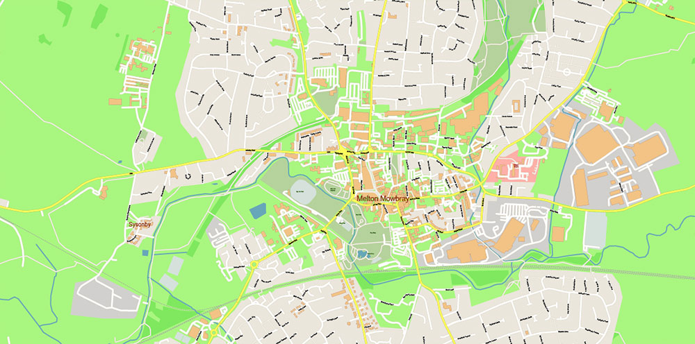
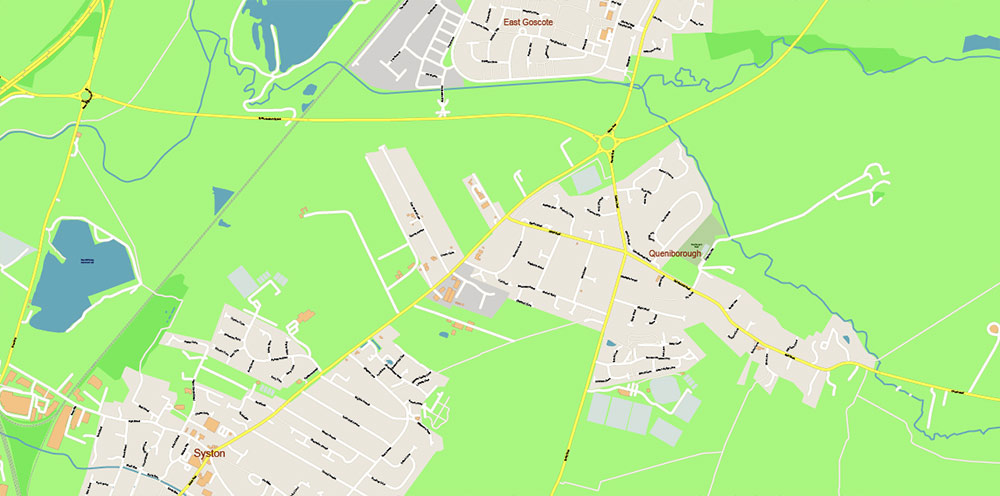
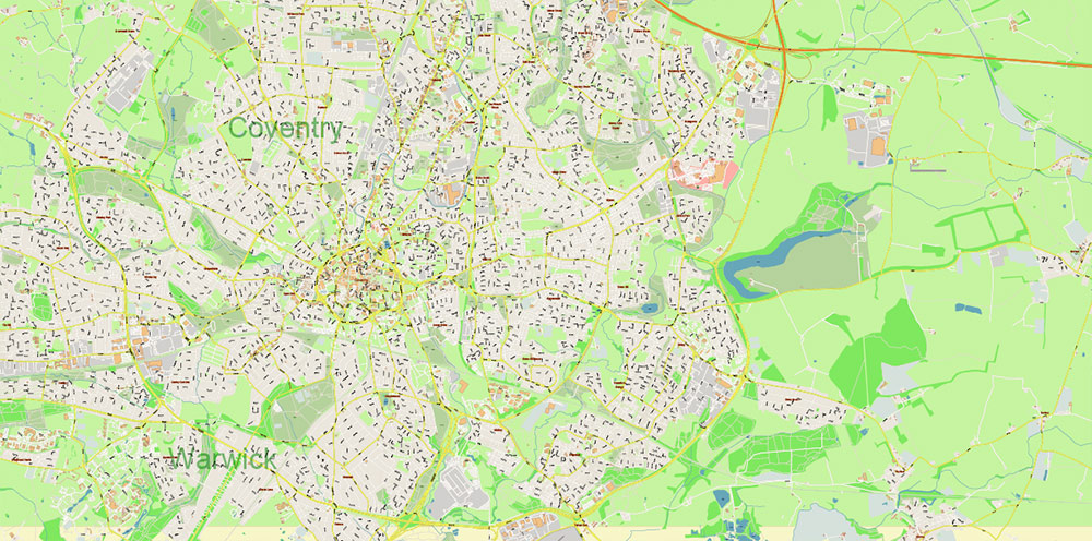
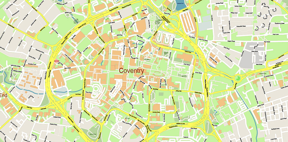
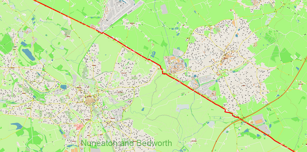
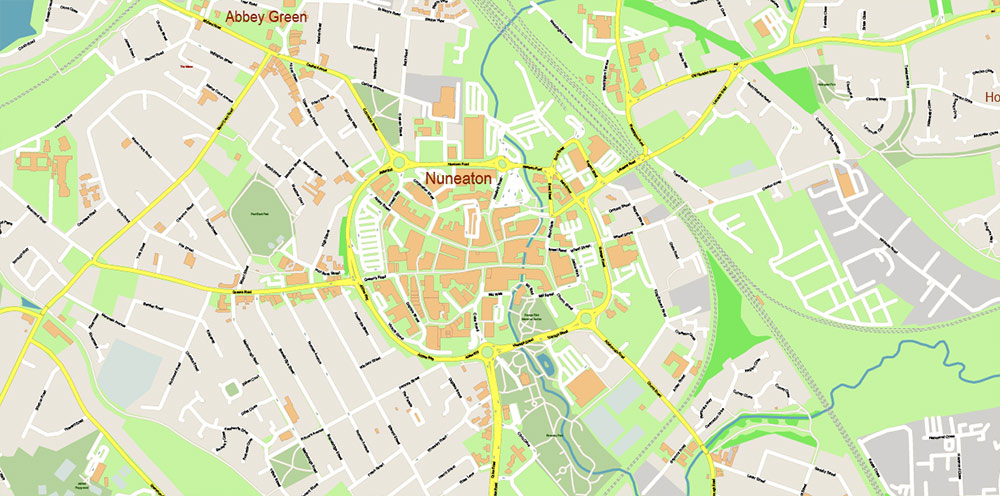
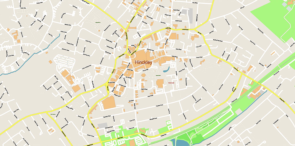
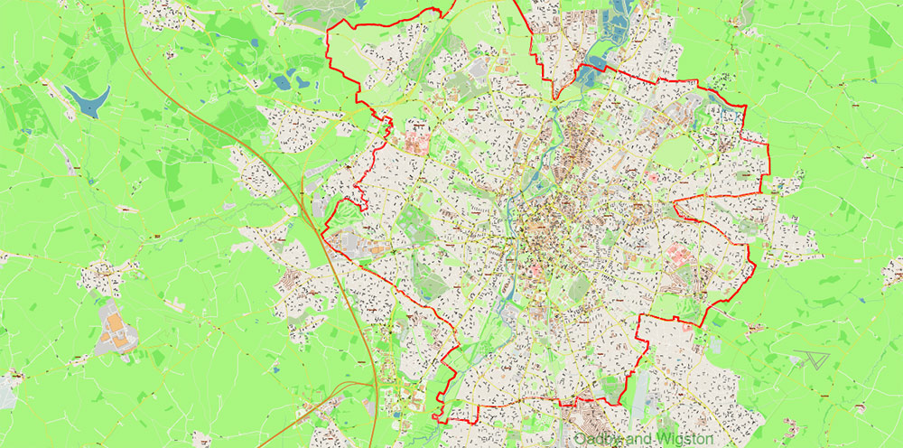
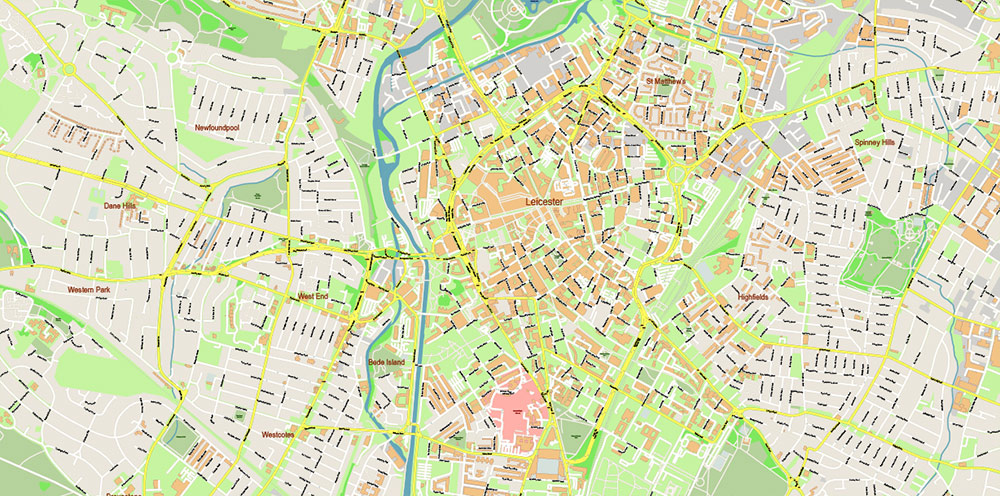
The most exact and detailed map of Leicestershire UK
Map for editing and High-Quality Printing
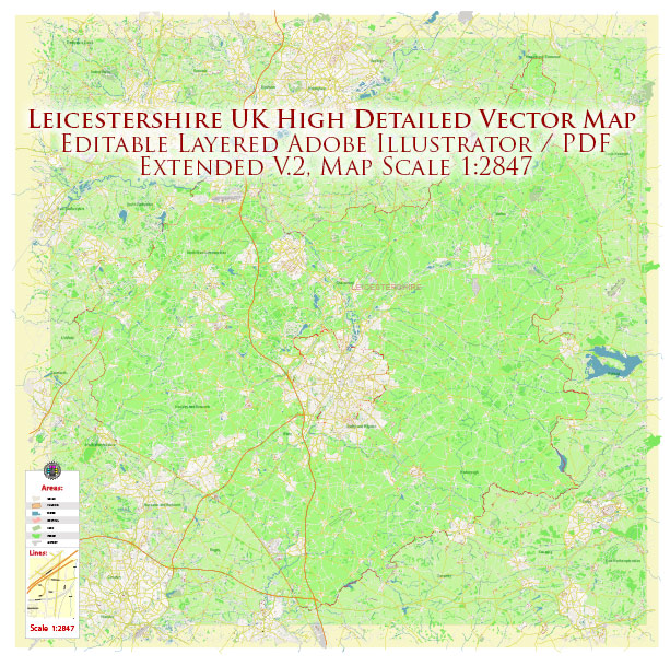
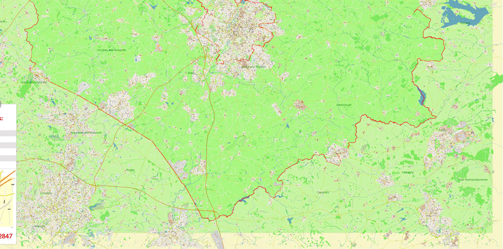
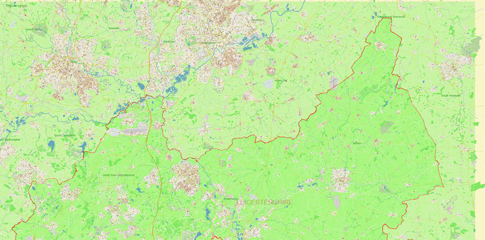
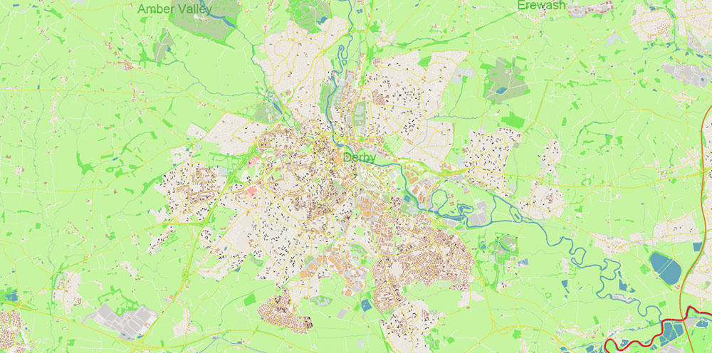
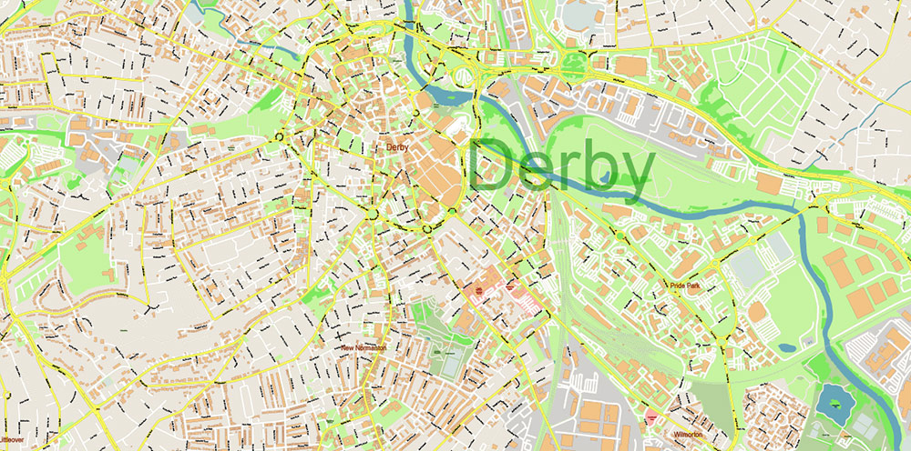
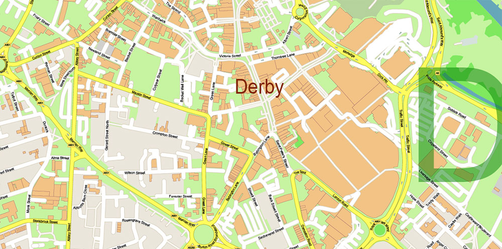
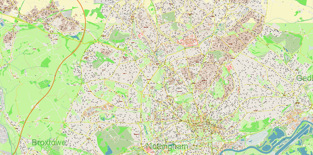
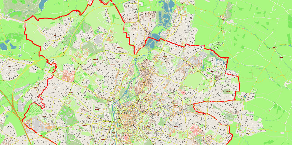
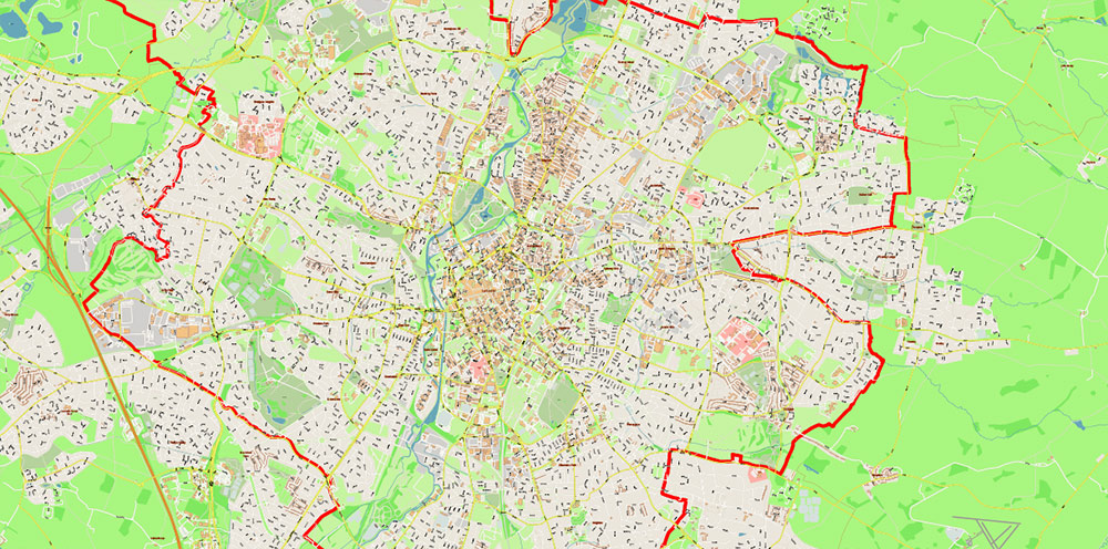
Leicestershire UK Vector Map: extra high detailed, + admin areas, editable layered Adobe Illustrator
Layers list:
- Legend
- Grids
- Names Counties
- Names Main Streets
- Names Residential streets
- Names admin areas
- Names Objects
- Names Places
- Main Streets and Roads
- Residential streets
- Leicestershire and Leicester boundaries
- Railroads
- Airports and Heliports
- Landuse areas
- Water objects (areas)
- Waterways
- Counties Areas
- Administrative Areas
- Background
Leicestershire UK Vector Map: extra high detailed, + admin areas, editable layered Adobe Illustrator
Leicestershire UK Vector Map: extra high detailed, + admin areas, editable layered Adobe Illustrator
Leicestershire UK Vector Map: extra high detailed, + admin areas, editable layered Adobe Illustrator
Leicestershire UK Vector Map: extra high detailed, + admin areas, editable layered Adobe Illustrator
Leicestershire UK Vector Map: extra high detailed, + admin areas, editable layered Adobe Illustrator
Leicestershire UK Vector Map: extra high detailed, + admin areas, editable layered Adobe Illustrator
Leicestershire UK Vector Map: extra high detailed, + admin areas, editable layered Adobe Illustrator
Leicestershire UK Vector Map: extra high detailed, + admin areas, editable layered Adobe Illustrator
Leicestershire UK Vector Map: extra high detailed, + admin areas, editable layered Adobe Illustrator
Leicestershire UK Vector Map: extra high detailed, + admin areas, editable layered Adobe Illustrator
Leicestershire UK Vector Map: extra high detailed, + admin areas, editable layered Adobe Illustrator
Leicestershire UK Vector Map: extra high detailed, + admin areas, editable layered Adobe Illustrator

Leicestershire UK Vector Map: extra high detailed, + admin areas, editable layered Adobe Illustrator
Leicestershire UK Vector Map: extra high detailed, + admin areas, editable layered Adobe Illustrator
Leicestershire UK Vector Map: extra high detailed, + admin areas, editable layered Adobe Illustrator
Leicestershire UK Vector Map: extra high detailed, + admin areas, editable layered Adobe Illustrator
Leicestershire UK Vector Map: extra high detailed, + admin areas, editable layered Adobe Illustrator
Leicestershire UK Vector Map: extra high detailed, + admin areas, editable layered Adobe Illustrator
Leicestershire UK Vector Map: extra high detailed, + admin areas, editable layered Adobe Illustrator
Leicestershire UK Vector Map: extra high detailed, + admin areas, editable layered Adobe Illustrator
Leicestershire UK Vector Map: extra high detailed, + admin areas, editable layered Adobe Illustrator
Leicestershire UK Vector Map: extra high detailed, + admin areas, editable layered Adobe Illustrator
Leicestershire UK Vector Map: extra high detailed, + admin areas, editable layered Adobe Illustrator
Leicestershire UK Vector Map: extra high detailed, + admin areas, editable layered Adobe Illustrator
Leicestershire UK Vector Map: extra high detailed, + admin areas, editable layered Adobe Illustrator
Leicestershire UK Vector Map: extra high detailed, + admin areas, editable layered Adobe Illustrator
Leicestershire UK Vector Map: extra high detailed, + admin areas, editable layered Adobe Illustrator

 Author: Kirill Shrayber, Ph.D. FRGS

