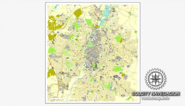
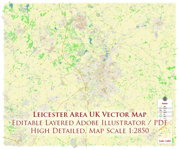
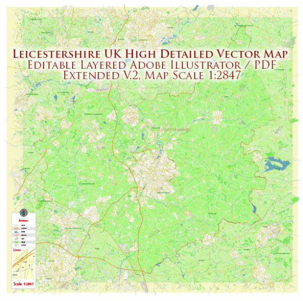
Leicester, located in the East Midlands of England, has several principal waterways, bridges, and main streets that contribute to the city’s character and infrastructure. We provide you with the most accurate and up-to-date vector maps in Adobe Illustrator, PDF and other formats, designed for editing and printing. Please read the vector map descriptions carefully.
Waterways:
- River Soar: The River Soar is a major waterway that runs through Leicester. It plays a significant role in the city’s history and provides a scenic element to the urban landscape. The river is navigable and has been an important trade route in the past.
- Grand Union Canal: This canal runs through Leicester and is part of the extensive Grand Union Canal network in the UK. It adds to the city’s waterway network and provides opportunities for leisure activities such as walking and boating.
Bridges:
- West Bridge: West Bridge is a notable bridge spanning the River Soar. It is a historic structure and an important crossing point in the city.
- Trafalgar Bridge: This bridge carries the A594 road over the River Soar and connects the west and east parts of the city.
- Braunstone Gate Bridge: Located in the western part of Leicester, this bridge is an important river crossing, connecting different neighborhoods.
Main Streets:
- High Street: As in many cities, High Street is a central and busy thoroughfare in Leicester. It’s likely to have a mix of shops, restaurants, and businesses.
- Gallowtree Gate: Gallowtree Gate is another key shopping street in Leicester, known for its retail stores and vibrant atmosphere.
- Belgrave Road: Running through the Belgrave area, this street is known for its diverse range of shops, particularly those offering South Asian goods and cuisine.
- London Road: This major road connects the city center to the south and is likely to have a mix of commercial and residential areas.
- Granby Street: Situated in the heart of Leicester, Granby Street is known for its nightlife, with numerous bars and restaurants.
Remember that the cityscape can change, and new developments may have occurred since my last update. For the latest and most accurate information, consider checking local maps, city guides, or official city websites.


 Author: Kirill Shrayber, Ph.D.