Extended Description of the Vector Map
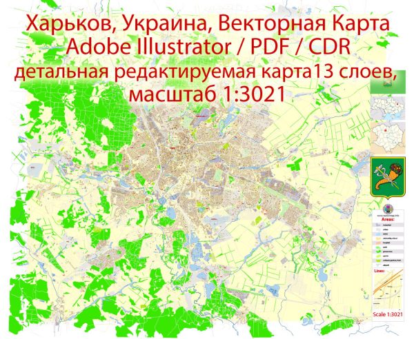
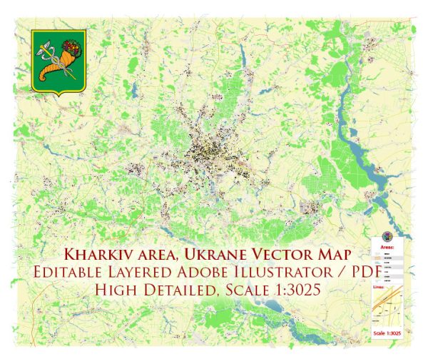
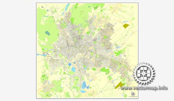
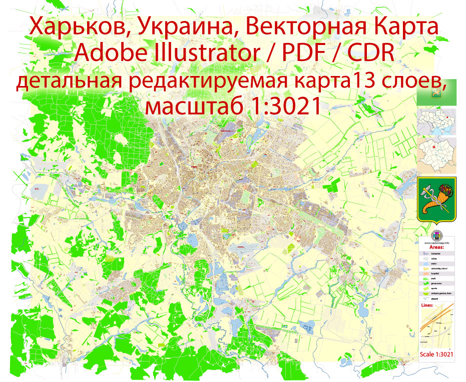
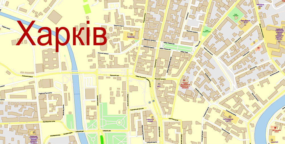
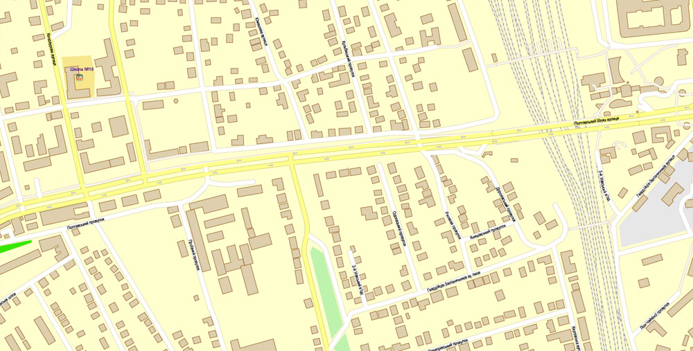
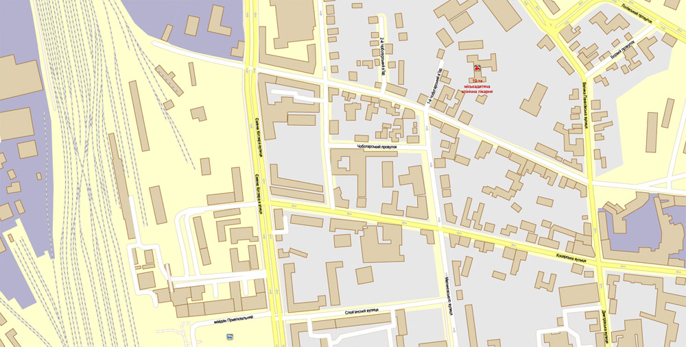
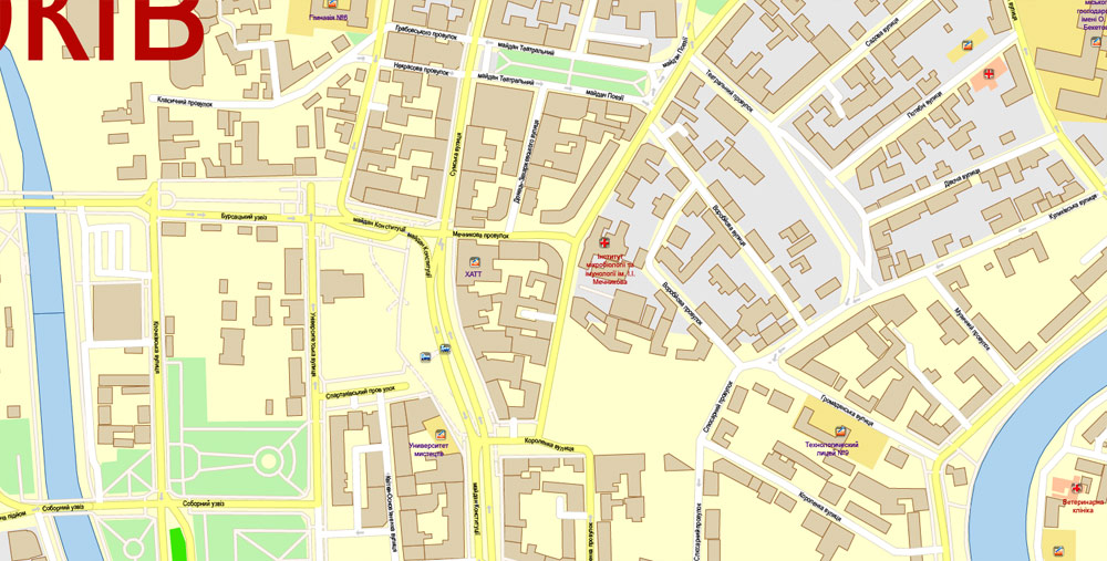
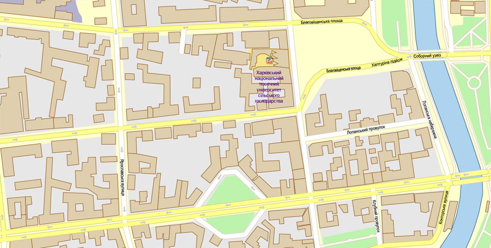
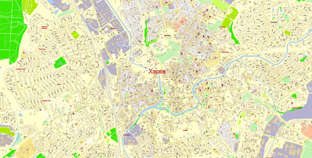
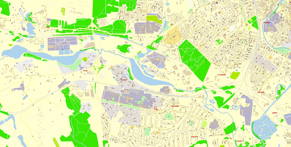
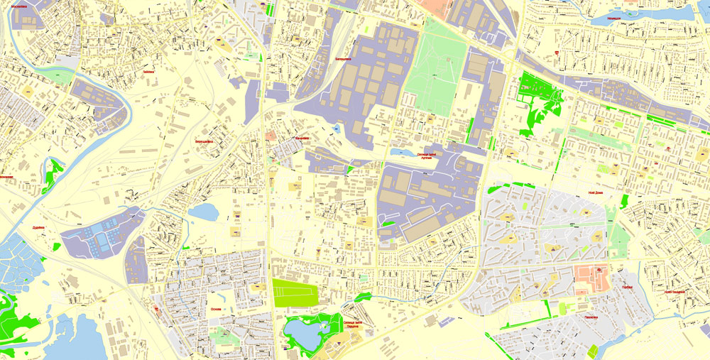
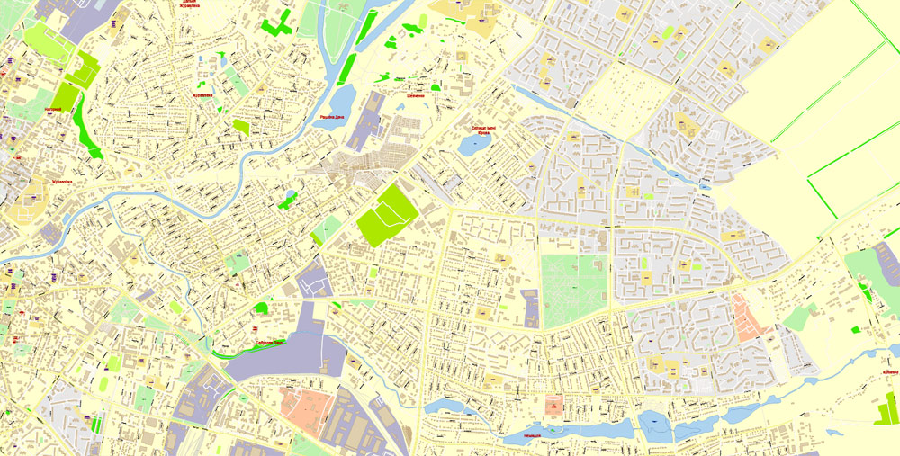
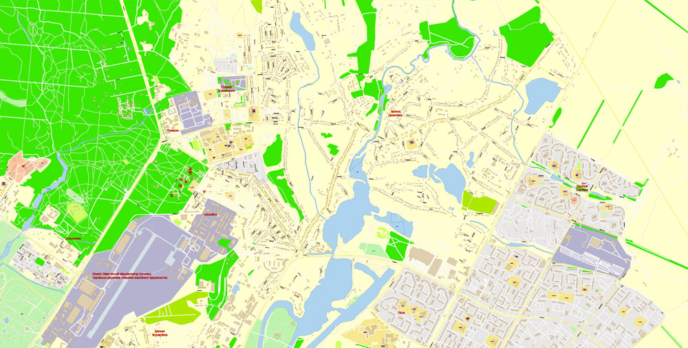
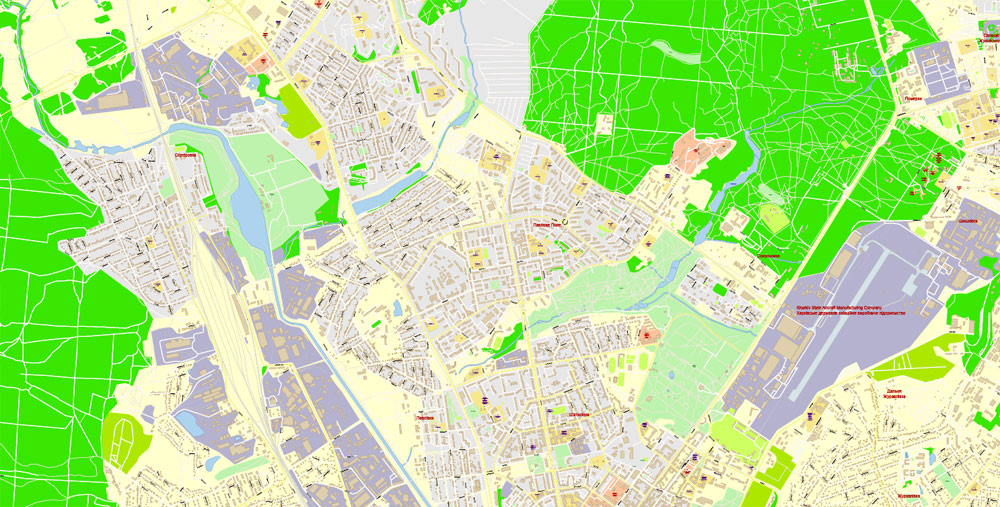
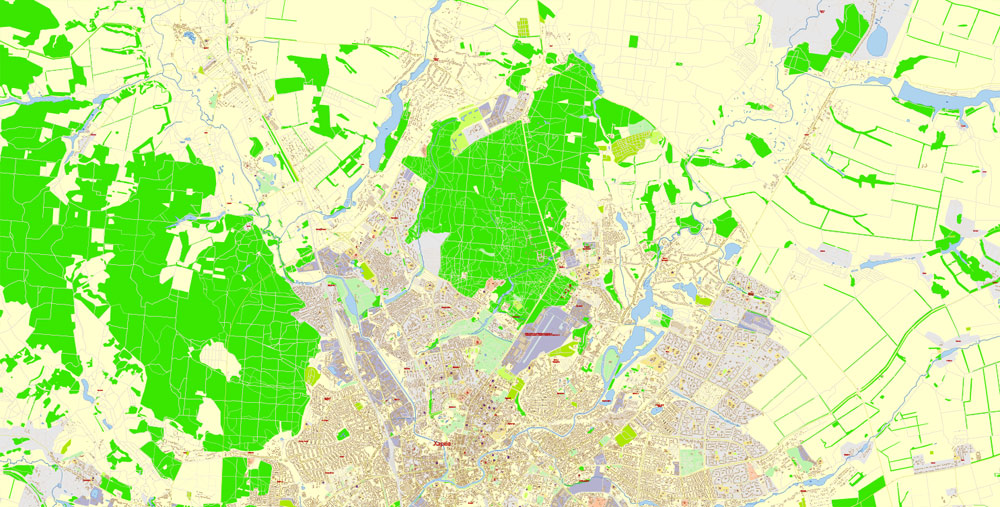
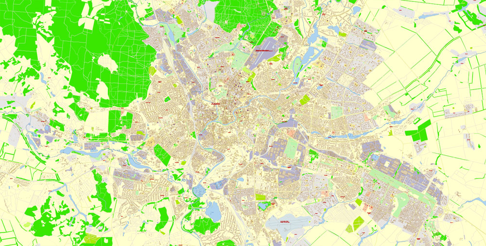
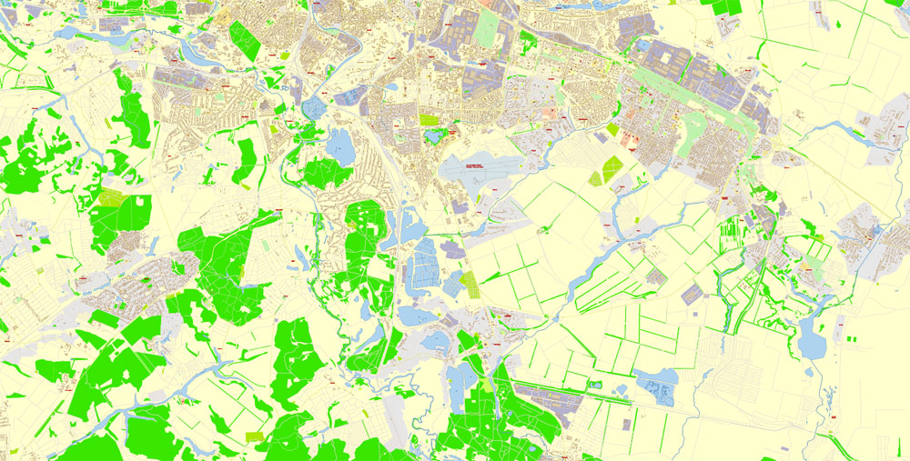
Printable Vector PDF Map Kharkiv Ukraine extra detailed City Plan scale 1:3021 full editable Adobe PDF Street Map in layers with buildings, scalable, editable text format all names, 31 mb ZIP
Векторная PDF Карта г. Харьков, Украина, 13 слоев Adobe PDF
All streets, Main Objects, All Buildings. Map for design, printing, arts, projects, presentations, for architects, designers and builders, business, logistics.
Layers: color_fills, streets_roads, labels_roads, names_objects, names_streets, water, names_places, grids, buildings, legend, etc. (13 layers)
The most exact and detailed map of the city in scale.
For High Quality Printing
DWG, DXF and other formats – on request, same price, please, contact
Kharkiv also known as Kharkov (Ха́рьков) from Russian, is the second-largest city in Ukraine. In the northeast of the country, it is the largest city of the Slobozhanshchyna historical region. Kharkiv is the administrative centre of Kharkiv Oblast and of the surrounding Kharkiv Raion, though administratively it is incorporated as a city of oblast significance and does not belong to the raion. Population: 1,439,036 (2017 est.)
The city was founded in 1654 and after a humble beginning as a small fortress grew to be a major centre of Ukrainian industry, trade and culture in the Russian Empire.
Kharkiv was the first capital of the Ukrainian Soviet Socialist Republic, from December 1919 to January 1934, after which the capital relocated to Kiev.
Presently, Kharkiv is a major cultural, scientific, educational, transport and industrial centre of Ukraine, with 6 museums, 7 theatres and 80 libraries.
Its industry specializes primarily in machinery and in electronics. There are hundreds of industrial companies in the city, including the Morozov Design Bureau and the Malyshev Tank Factory (leaders in world tank production from the 1930s to the 1980s); Khartron (aerospace and nuclear power plants automation electronics); the Turboatom (turbines for the hydro-, thermal- and nuclear-power plants), and Antonov (the multipurpose aircraft manufacturing plant).
Area
• City of regional significance 350 km2 (140 sq mi)
Elevation 152 m (499 ft)
Population
• City of regional significance 1,439,036
• Density 4,500/km2 (12,000/sq mi)
• Metro 1,732,400
Free vector map World, Adobe Illustrator, download now maps vector clipart
Map for design, projects, presentation free to use as you like.
See also: TERMS & CONDITIONS: SOFTWARE LICENSE AGREEMENT FOR DIGITAL CARTOGRAPHIC DATA.
Author Rating
Aggregate Rating
no rating based on 0 votes
@vectormapper
Product Name Kharkiv PDF Map Vector Ukraine extra detailed City Plan scale 1:3021 editable Adobe PDF Street Map in layers with buildings
Price
USD 32
Product Availability
Available in Stock






 Author: Kirill Shrayber, Ph.D. FRGS