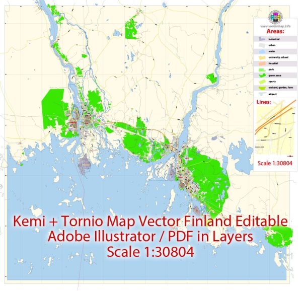
Extended Description of the Vector Map
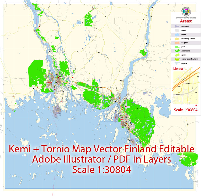
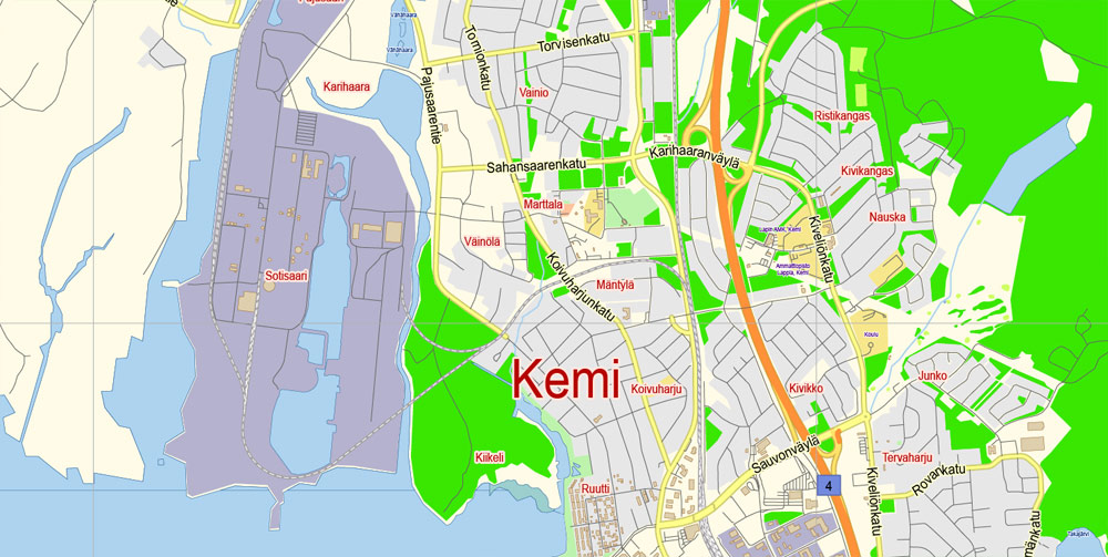
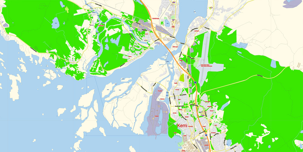
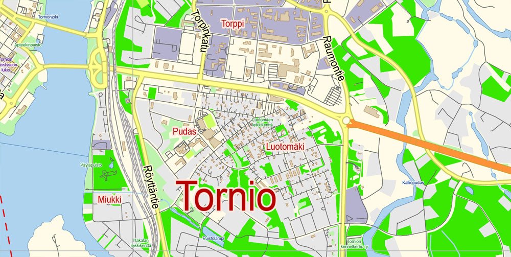
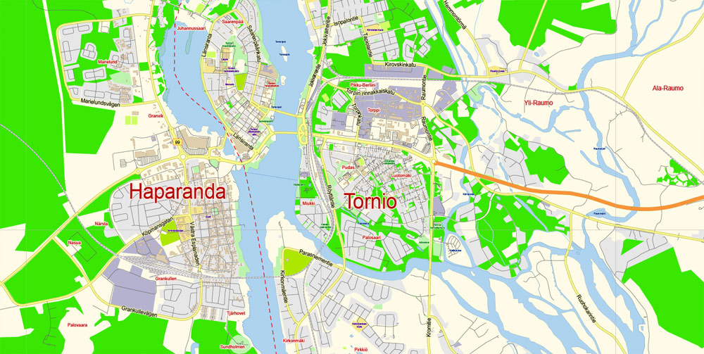
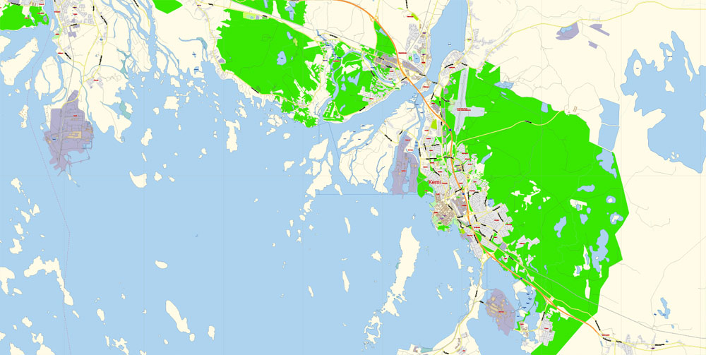
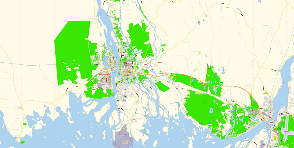
Printable PDF Vector Map Kemi + Tornio Finland, exact Low detailed City Plan, Scale 1:30804, editable Layered Adobe PDF Street Map, 8 Mb ZIP.
Main streets names, Buildings. Map for publishing, design, printing, publications, arts, projects, presentations, for architects, designers and builders, business, logistics. The most exact and detailed map of the city.
Layers: legend, grids, labels_roads, names_places, names_streets, buildings, streets_roads, color_fills, etc.
Text format all names, for High Quality Printing
DWG, DXF, CDR, ESRI Shapes, and other formats – by request, same price, please contact.
Kemi
Town in Finland
Kemi is a town on Bothnian Bay in Lapland, Finland. It’s known for the massive Sampo icebreaker, a giant ship built to ply the Arctic waters. At Kemi’s harbor is the SnowCastle, a seasonal carved-ice complex. Kemi Lutheran Church is a Gothic Revival structure with an ornate, red-brick exterior. To the north, Bothnian Bay National Park has old fishing huts, rare plants and abundant birds, including Arctic terns.
Area
• Total 747.28 km2 (288.53 sq mi)
• Land 95.34 km2 (36.81 sq mi)
• Water 652.1 km2 (251.8 sq mi)
Area rank 300th largest in Finland
Elevation 4 m (13 ft)
Population
• Total 21,297
• Rank 49th largest in Finland
• Density 223.38/km2 (578.6/sq mi)
Population by native language
• Finnish 98%
• Swedish 0.1%
• Others 1.9%
Population by age
• 0 to 14 14.2%
• 15 to 64 66.5%
• 65 or older 19.3%
Tornio
City in Finland
Tornio is a city and municipality in Lapland, Finland. The city forms a cross-border twin city together with Haparanda on the Swedish side. The municipality covers an area of 1,348.83 square kilometres, of which 161.59 km² is water.
Area
• Total 1,348.83 km2 (520.79 sq mi)
• Land 1,186.96 km2 (458.29 sq mi)
• Water 161.59 km2 (62.39 sq mi)
Area rank 60th largest in Finland
Population
• Total 21,939
• Rank 46th largest in Finland
• Density 18.48/km2 (47.9/sq mi)
Population by native language
• Finnish 98.3%
• Swedish 0.3%
• Others 1.3%
Population by age
• 0 to 14 18.5%
• 15 to 64 66.4%
• 65 or older 15.1%
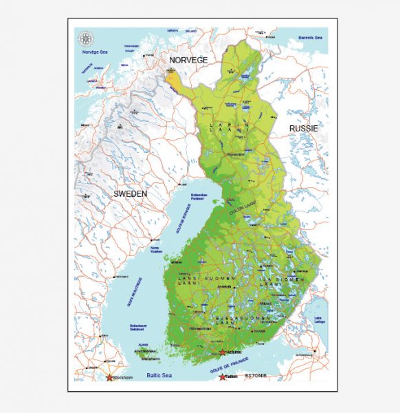
See Also: Full Vector Map Finland
Free vector maps:
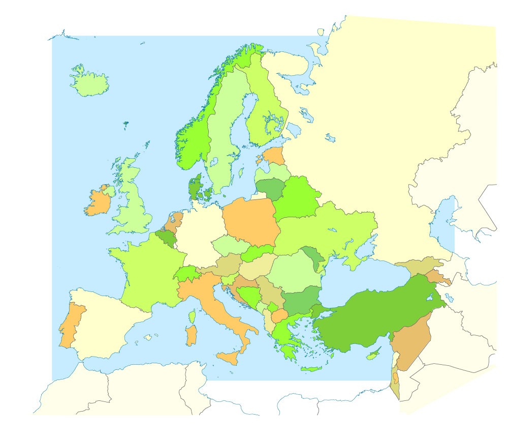
Free download printable map Europe vector Adobe Illustrator >>>
Free download printable PDF map Europe vector Adobe PDF >>>
Author Rating
Aggregate Rating
no rating based on 0 votes
@vectormapper
Product Name Kemi + Tornio PDF Map Vector Finland Low detailed City Plan editable Layered Adobe PDF Street Map
Price
USD 23
Product Availability
Available in Stock



 Author: Kirill Shrayber, Ph.D. FRGS