


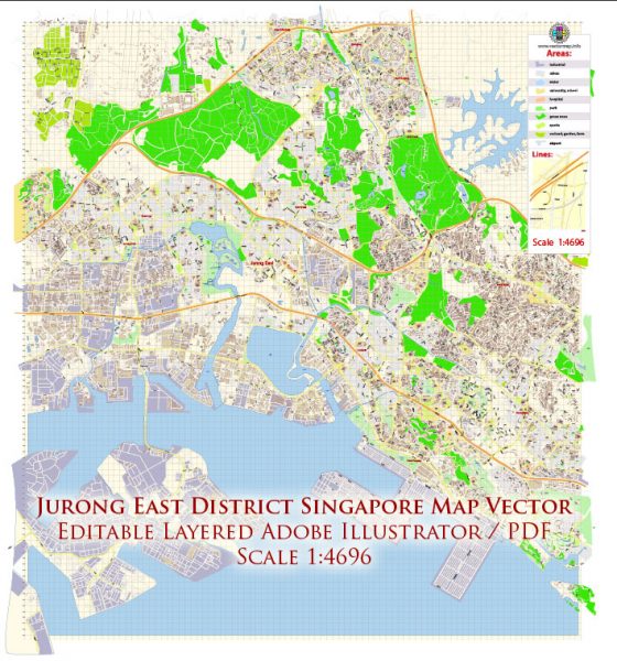
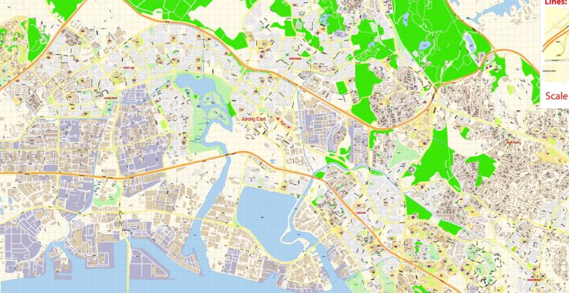
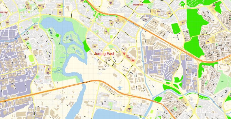
Printable Vector Map of Jurong East District Singapore detailed City Plan scale 1:4696 full editable Adobe Illustrator Street Map in layers, scalable, text format all names, 6 MB ZIP
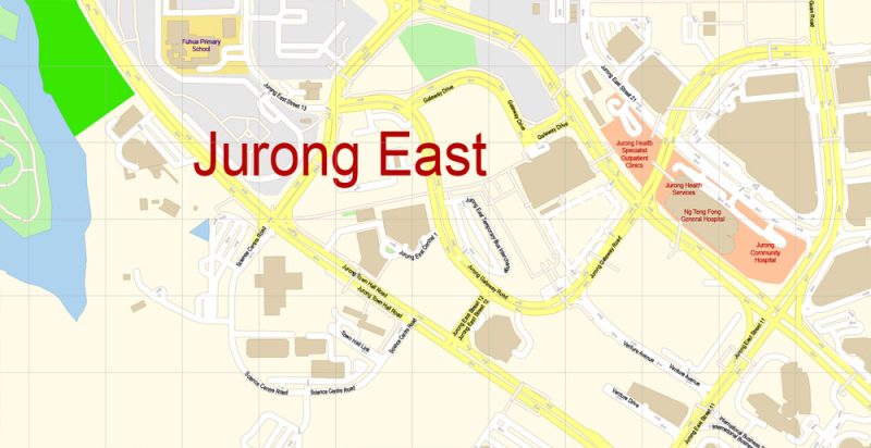
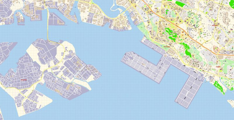
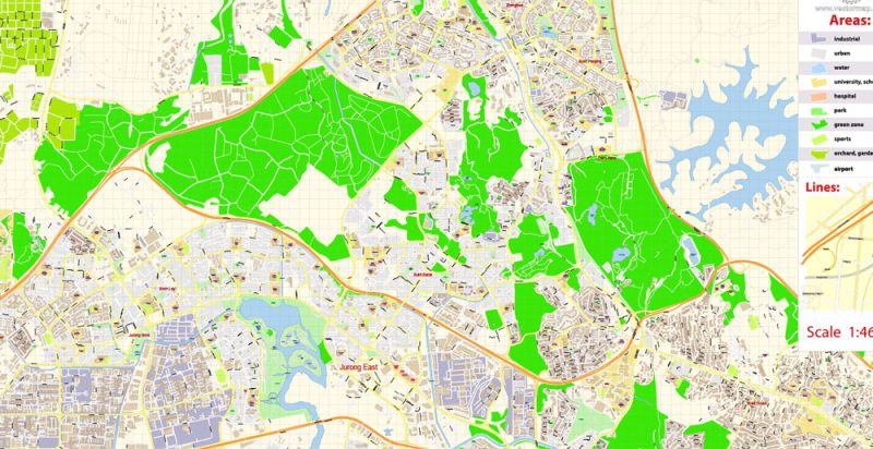
Street names, Main Objects, Buildings. Map for design, printing, arts, projects, presentations, for architects, designers, and builders, business, logistics.
Layers list:
- Legend
- Grids
- Labels of roads
- Names of places (city, hamlet, etc.)
- Names of objects (hospitals, schools, parks, water)
- Names of streets
- Objects (icons)
- Arrows of streets
- Streets, roads, railroads, lines
- Buildings
- Water objects (rivers, lakes, ponds)
- Color fills (parks, hospital areas, school areas, etc.)
- Islands
- Back and Sea
The most exact and detailed map of the city in scale.
ALSO: DWG, DXF, CDR and other formats: free convert for our customers.
For Editing and High-Quality Printing

 Author: Kirill Shrayber, Ph.D. FRGS