Extended Description of the Vector Map
Printable PDF Vector Map of Japan high detailed road map + admin areas + all cities and towns and water objects editable Layered Adobe PDF, scalable, editable text format of all names (english), 570 Mb ZIP.
Layered exact editable map: Map for publishing, design, printing, publications, arts, projects, presentations, for architects, designers, and builders, business, logistics. The most exact and detailed map. GPS correct Mercator Projection.
For printing any format.
Please note: in the preview, ALL LAYERS are enabled and visible. Of course, you can easily turn off the layers you don’t need and the map will become much simpler.
DWG, DXF, CDR, ESRI Shapes, and other formats – by request, the same price, please contact.
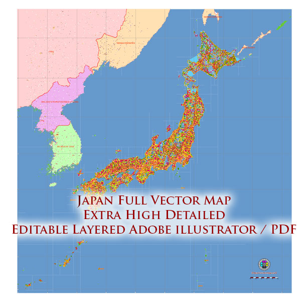
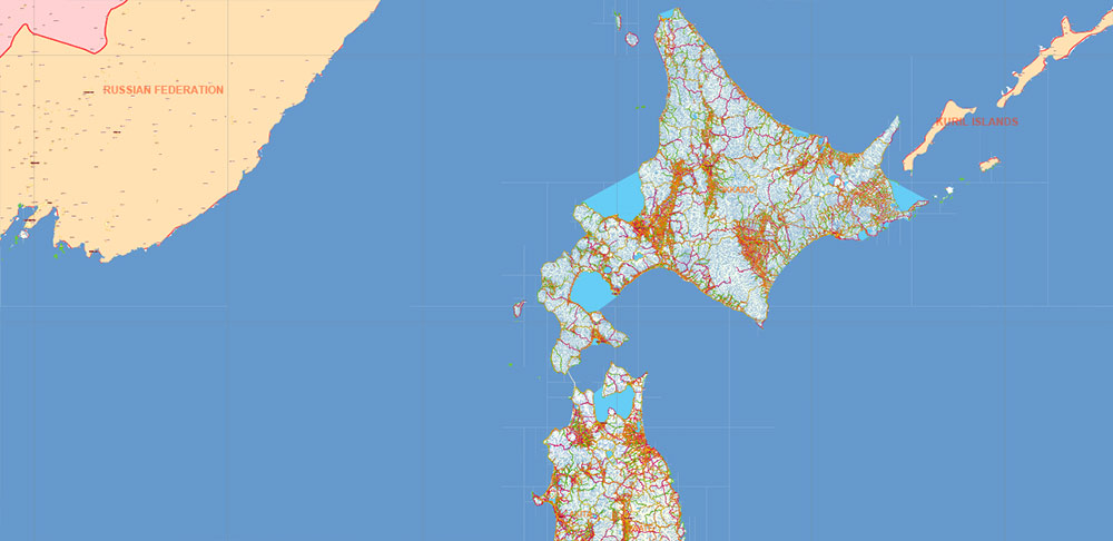
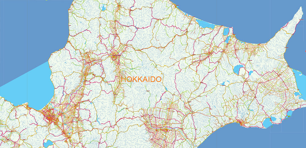
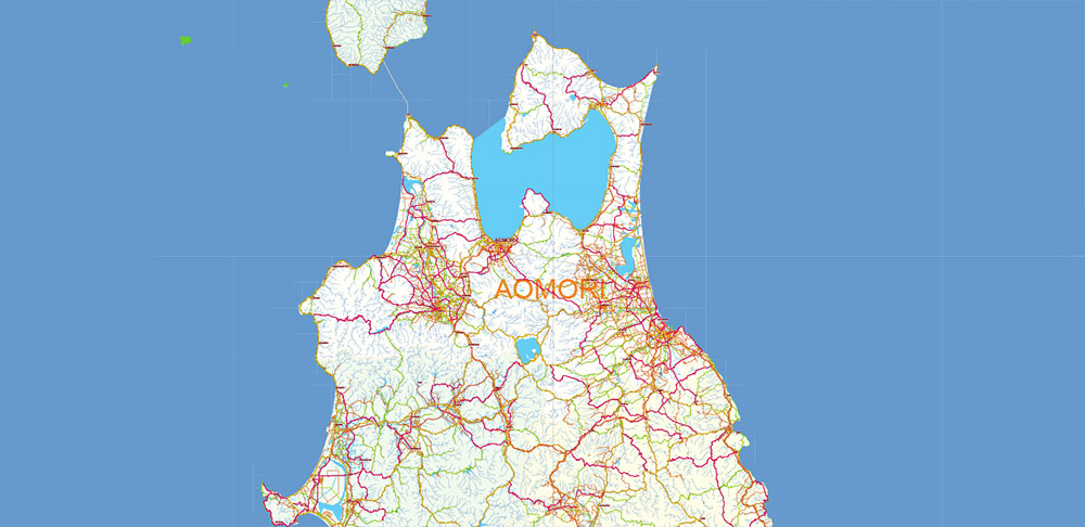
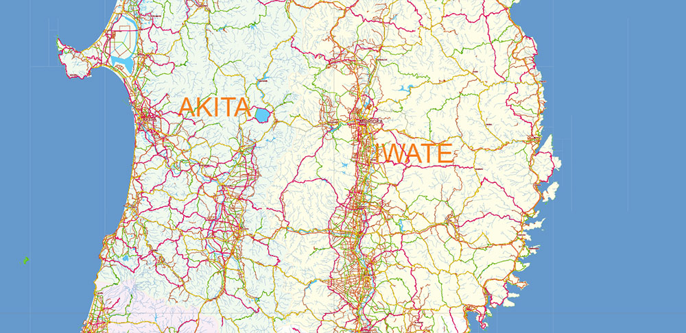
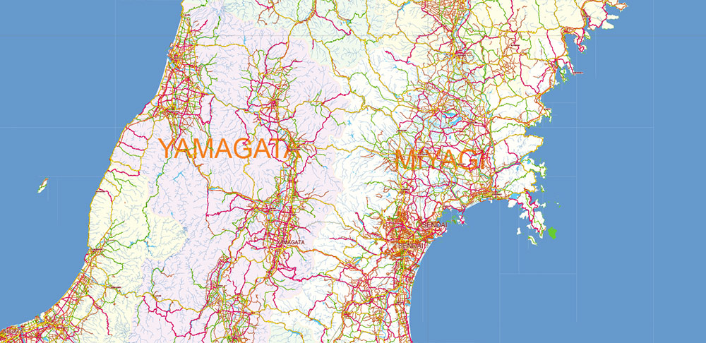
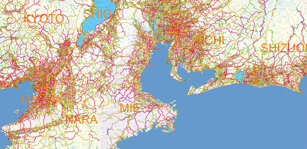
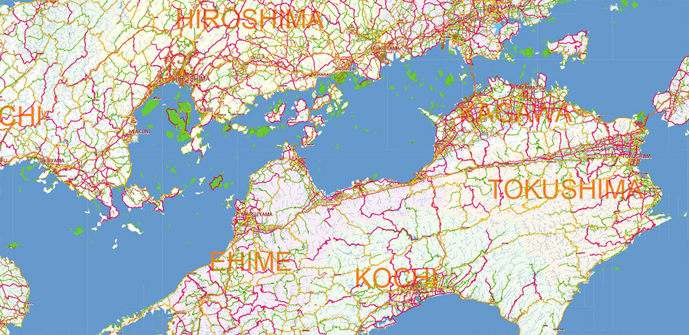
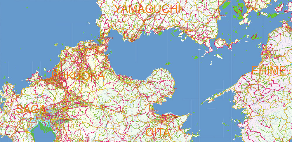
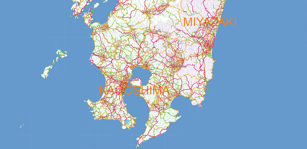
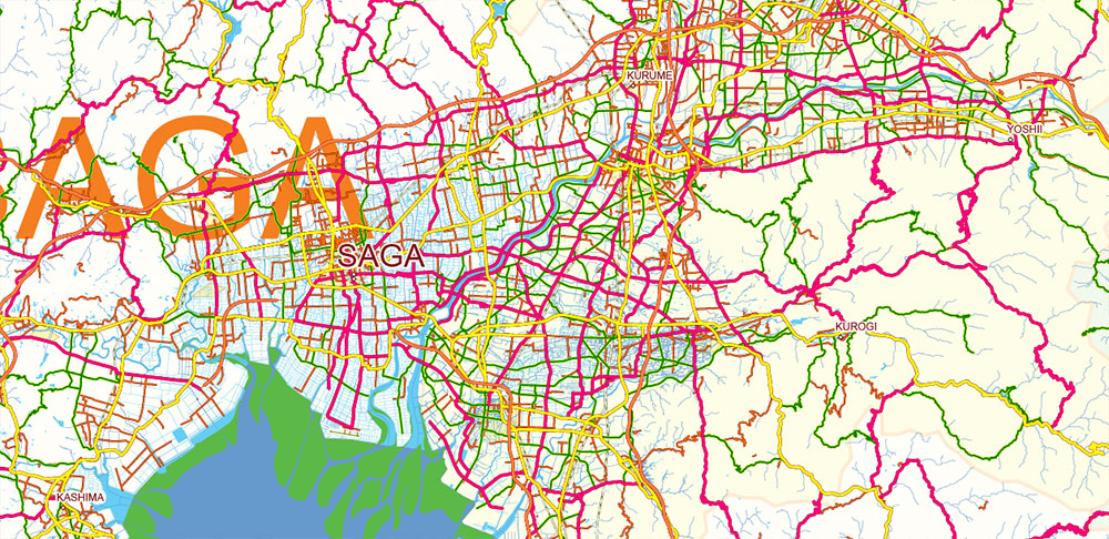
Japan PDF Vector Map high detailed roads and admin areas editable layered in Adobe PDF
Separated layers:
- Legend
- Grids
- Names Cities and Towns (with halo)
- Points Geo (main cities and towns)
- Names Admin areas
- Urban areas
- Main roads
- Railroads
- Country boundaries
- Waterways
- Water areas
- Admin Areas
- Sea / Ocean
This high detailed road and highway map is a fully editable multi-layer Adobe Illustrator file.
Adobe Illustrator files are vector format files that provide clarity and high quality images at any magnification.
All primary map objects/features are on their own layer. For a complete list of objects/layers, see the list of layers.
This map also comes as a fully editable Adobe PDF map file. This PDF can be opened using Adobe Reader’s free software, which allows you to zoom in on any part of the map while keeping clear lines and text at any level of magnification.
All our Adobe PDF map files can easily be included in a wide range of other software products such as Microsoft Word and PowerPoint, as well as Adobe Photoshop and Illustrator, Adobe Indesign, AutoCAD, ArchiCAD and others.
Our PDF maps are also 100% editable in Illustrator 10 and above, allowing you to select and edit any object on the map (e.g. state/county/country boundaries, road lines, text, etc.).
All major map objects are on their own intuitively labeled layers, making it easy to show/hide, edit, and delete each major map object. For a complete list of features/layers, see the list of layers.

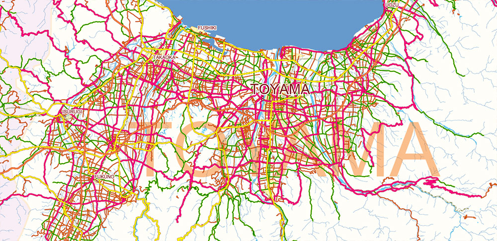
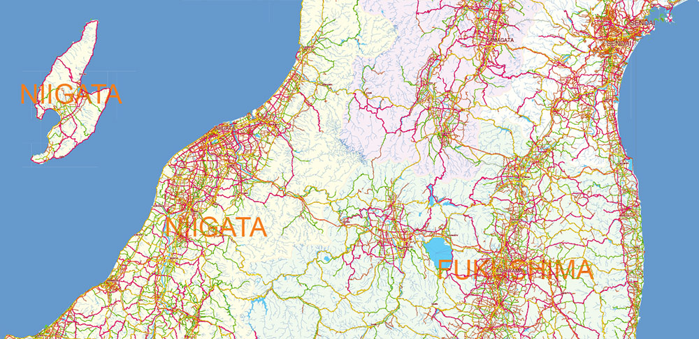
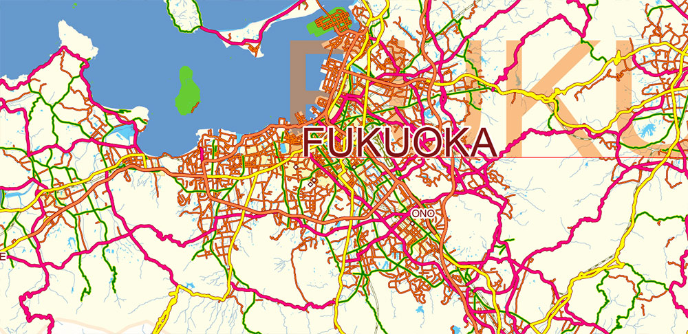
Japan PDF Vector Map high detailed roads and admin areas editable layered in Adobe PDF
About Our Digital Maps
VectorMap.Net offers publishers, graphic designers, web developers, and multimedia developers instant access to beautiful, high-quality, and fully editable Adobe Illustrator maps.
We offer thousends of of vector maps, from simple blank maps of the US, all countries and the world (FREE!) to highly detailed maps incorporating dozens of editable layers for county lines, buildings, landuse areas, major roads, residential streets of the cities and urban areas.
All of our maps were designed so that the map’s core objects, such as state lines, text, county lines and other core map symbols, were intuitively layered and fully editable in digital vector format.
Designed by designers and publishers: DPI for print: 150; 300; 600; 1200
Because each of our digital maps is available in Adobe Illustrator or editable PDF, both of which take a vector approach to displaying images, you can easily enlarge any part of our maps without any degradation in the quality of the map’s text, lines and symbols, regardless of the magnification factor.
With Adobe Illustrator, you can easily trim parts of your map, add custom symbols, and change the colors and attributes of any objects as needed.

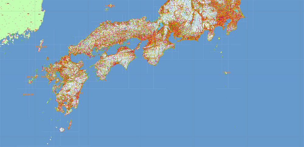
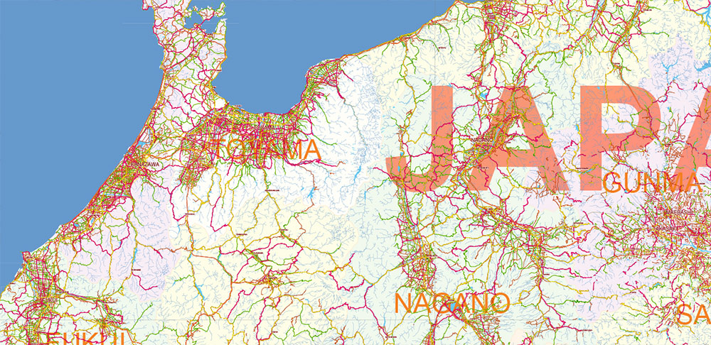
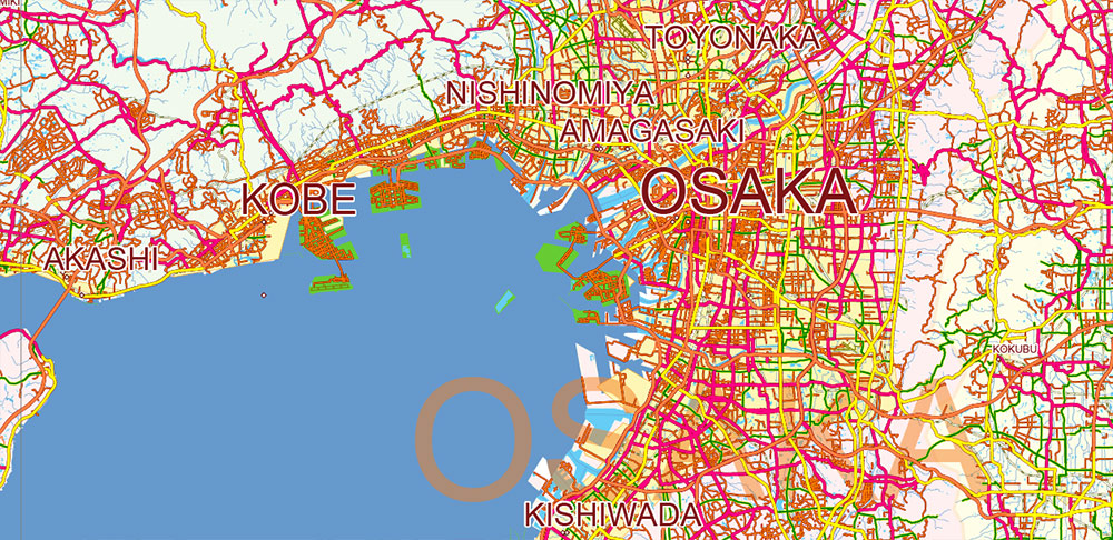
Japan PDF Vector Map high detailed roads and admin areas editable layered in Adobe PDF
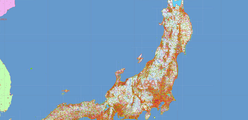
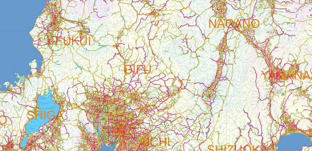
Japan PDF Vector Map high detailed roads and admin areas editable layered in Adobe PDF
Japan PDF Vector Map high detailed roads and admin areas editable layered in Adobe PDF
Japan PDF Vector Map high detailed roads and admin areas editable layered in Adobe PDF
Japan PDF Vector Map high detailed roads and admin areas editable layered in Adobe PDF
Japan PDF Vector Map high detailed roads and admin areas editable layered in Adobe PDF

Japan PDF Vector Map high detailed roads and admin areas editable layered in Adobe PDF
Japan PDF Vector Map high detailed roads and admin areas editable layered in Adobe PDF
Japan PDF Vector Map high detailed roads and admin areas editable layered in Adobe PDF
Japan PDF Vector Map high detailed roads and admin areas editable layered in Adobe PDF
Japan PDF Vector Map high detailed roads and admin areas editable layered in Adobe PDF

Japan PDF Vector Map high detailed roads and admin areas editable layered in Adobe PDF

Japan PDF Vector Map high detailed roads and admin areas editable layered in Adobe PDF
Japan PDF Vector Map high detailed roads and admin areas editable layered in Adobe PDF
Japan PDF Vector Map high detailed roads and admin areas editable layered in Adobe PDF
Japan PDF Vector Map high detailed roads and admin areas editable layered in Adobe PDF

Japan PDF Vector Map high detailed roads and admin areas editable layered in Adobe PDF
Japan PDF Vector Map high detailed roads and admin areas editable layered in Adobe PDF
Japan PDF Vector Map high detailed roads and admin areas editable layered in Adobe PDF

Japan PDF Vector Map high detailed roads and admin areas editable layered in Adobe PDF
Japan PDF Vector Map high detailed roads and admin areas editable layered in Adobe PDF

Japan PDF Vector Map high detailed roads and admin areas editable layered in Adobe PDF
Japan PDF Vector Map high detailed roads and admin areas editable layered in Adobe PDF
Japan PDF Vector Map high detailed roads and admin areas editable layered in Adobe PDF

Japan PDF Vector Map high detailed roads and admin areas editable layered in Adobe PDF
Japan PDF Vector Map high detailed roads and admin areas editable layered in Adobe PDF

Japan PDF Vector Map high detailed roads and admin areas editable layered in Adobe PDF

Japan PDF Vector Map high detailed roads and admin areas editable layered in Adobe PDF

 Author: Kirill Shrayber, Ph.D. FRGS
