Extended Description of the Vector Map
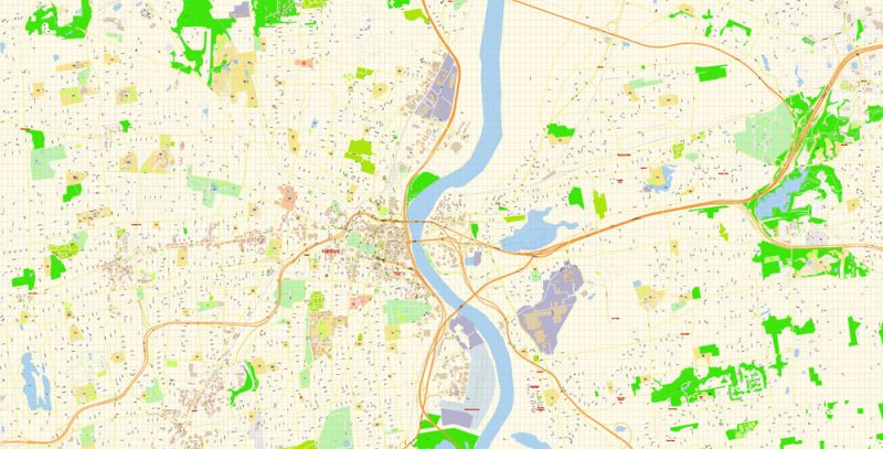
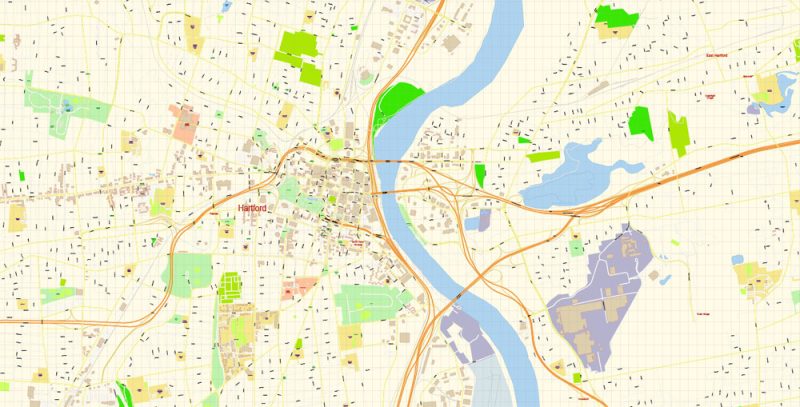
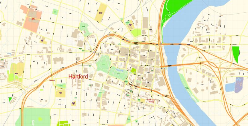
Printable PDF Vector Map of Hartford Connecticut US detailed City Plan scale 1:3503 full editable Adobe PDF Street Map in layers, scalable, text format all names, 13 MB ZIP
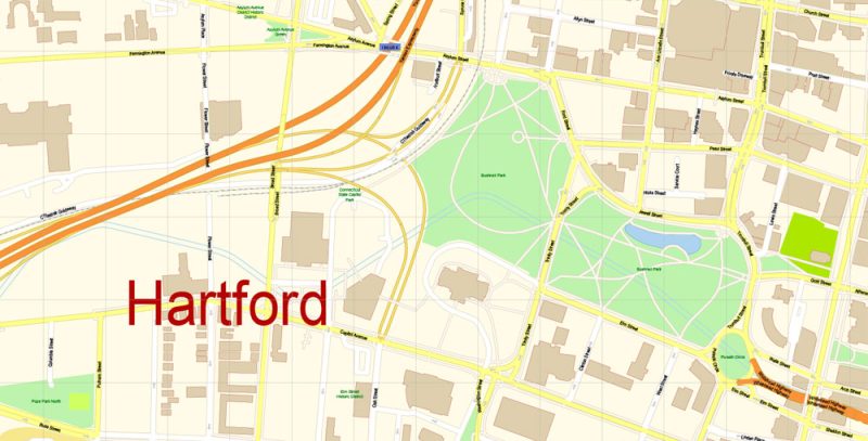
All street names, Main Objects, Buildings. Map for design, printing, arts, projects, presentations, for architects, designers, and builders, business, logistics.
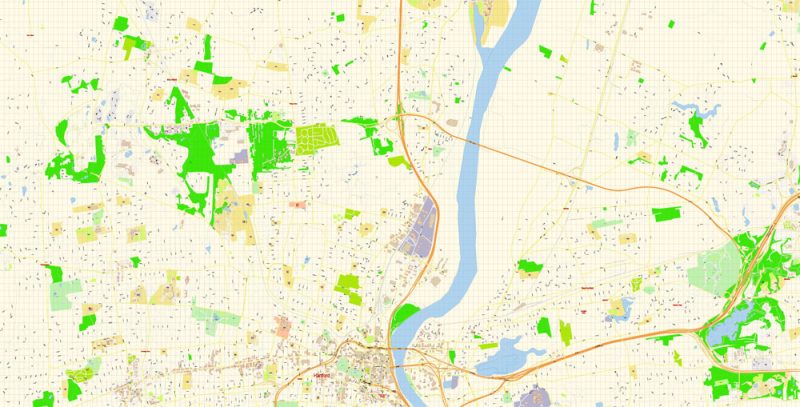
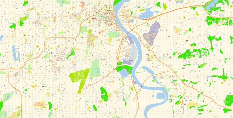
Layers: color_fills, water, streets_roads, labels_roads, names_objects, names_streets, names_places, arrows_streets, buildings, grids, legend, etc.
The most exact and detailed map of the city in scale.
For Editing and High-Quality Printing
Hartford
City in Connecticut
Hartford is the capital of Connecticut. It’s home to the Mark Twain House & Museum. The 1874 mansion contains thousands of artifacts, including the desk at which Twain wrote his best-known works. The Harriet Beecher Stowe Center includes the author’s Victorian house and many period furnishings, plus a garden. The broad collection of the Wadsworth Atheneum Museum of Art includes Renaissance and impressionist works.
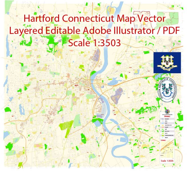
Hartford Map Vector Connecticut Exact City Plan detailed Street Map editable Adobe Illustrator in layers
Hartford Map Vector Connecticut Exact City Plan detailed Street Map editable Adobe Illustrator in layers
Hartford Map Vector Connecticut Exact City Plan detailed Street Map editable Adobe Illustrator in layers
Hartford Map Vector Connecticut Exact City Plan detailed Street Map editable Adobe Illustrator in layers
Hartford Map Vector Connecticut Exact City Plan detailed Street Map editable Adobe Illustrator in layers
Hartford Map Vector Connecticut Exact City Plan detailed Street Map editable Adobe Illustrator in layers
Hartford Map Vector Connecticut Exact City Plan detailed Street Map editable Adobe Illustrator in layers


 Author: Kirill Shrayber, Ph.D. FRGS

