


Printable PDF Vector Map Hamburg Germany exact Extra Detailed City Plan scale 1:2792 editable Layered Adobe PDF Street Map 47 Mb ZIP.
All streets names, main objects, all buildings. Map for publishing, design, printing, publications, arts, projects, presentations, for architects, designers and builders, business, logistics. The most exact and detailed map of the city.
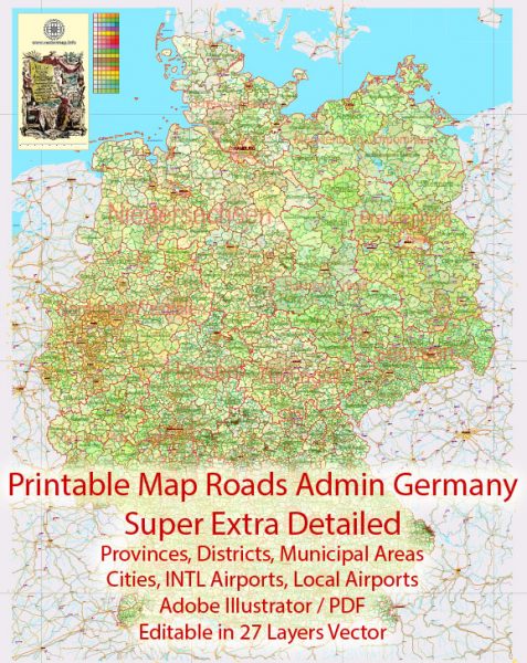
Layers: legend, grids, labels_roads, names_places, names_streets, names_objects, water, city_boundaries, arrows_streets, buildings, streets_roads, color_fills, etc.
Text format all names
For Editing and High Quality Printing
- Instant download after payment
- Commercial use license included (full)
- Operated by SolCity Nav LLC (DE, USA)
You can use this map in commercial projects, prints, media, and client work.


 Author: Kirill Shrayber, Ph.D. FRGS

 editable Adobe Illustrator in layers")
