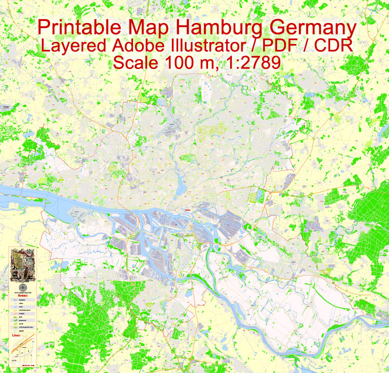
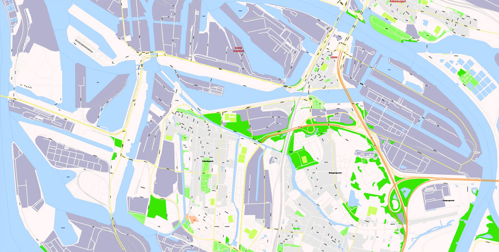
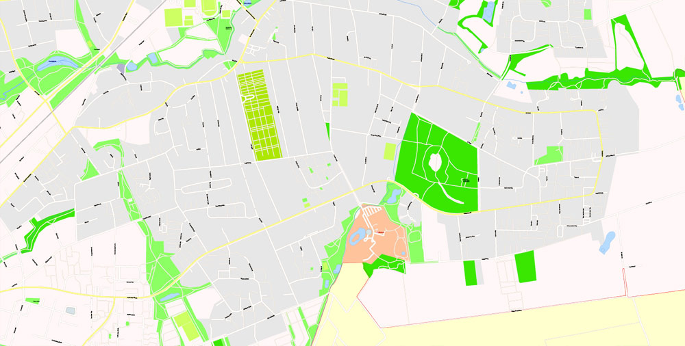
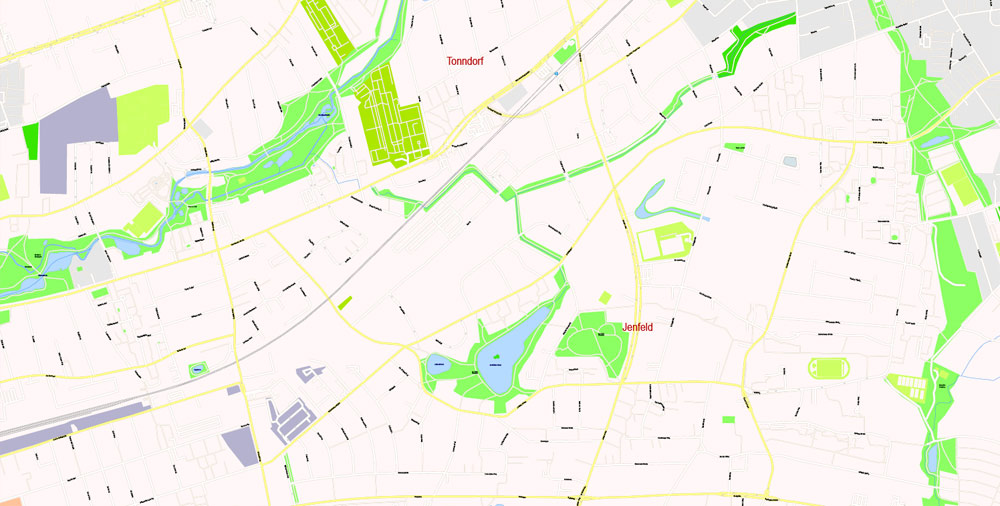
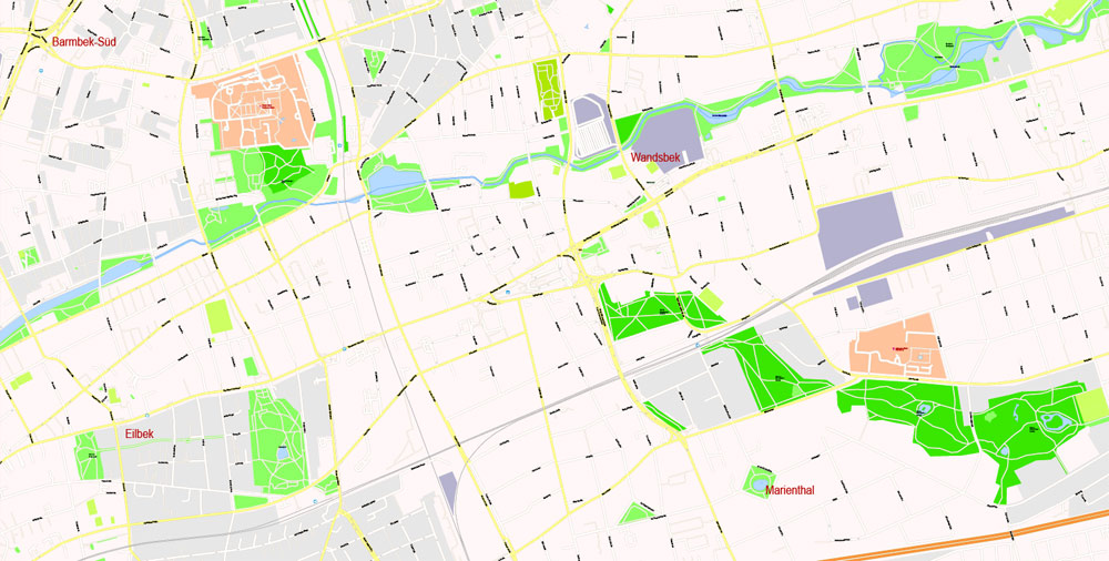
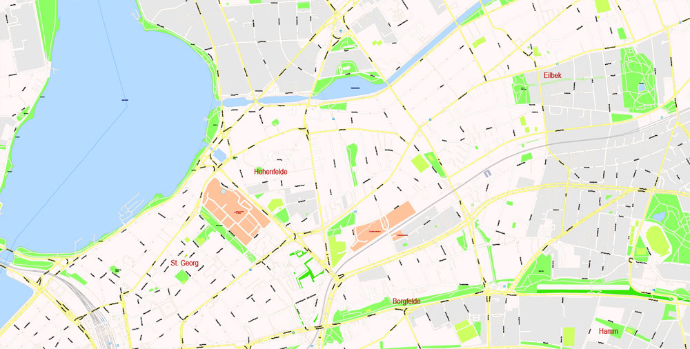
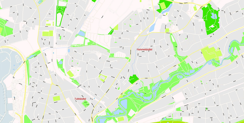
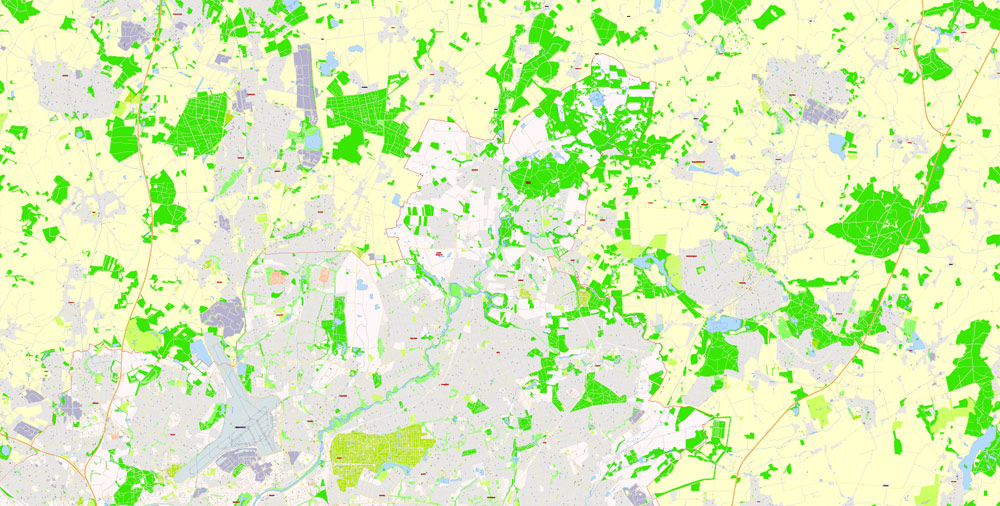
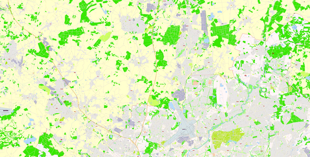
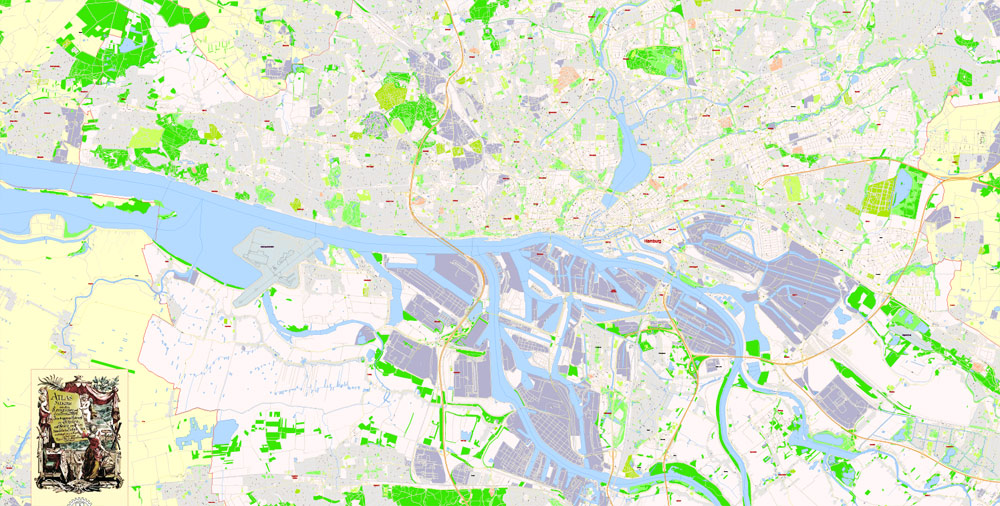
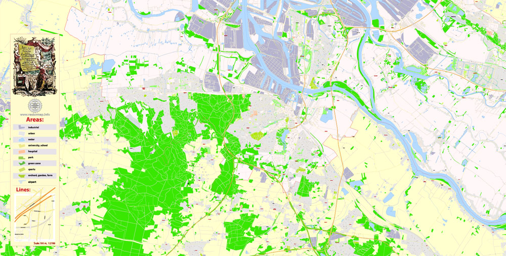
PDF Vector Map Hamburg Metro Area, Germany, G-View level 17 (100 m scale) street City Plan map, full editable, Adobe PDF, full vector, scalable, editable, text format street names, 28 mb ZIP
All streets named, main objects, no buildings. Map for publishing, design, printing, publications, arts, projects, presentations, for architects, designers and builders, business, logistics. The most exact and detailed map of the city.
Layers: color_fills, streets_roads, arrows_streets, labels_roads, objects, names objects, names_streets, names_places, grids, legend.
For printing LARGE (WALL) format
You can edit this file by Adobe Illustrator, Adobe Acrobat, Corel Draw.
DXF, DWG, and other formats – on request, same price, please, contact
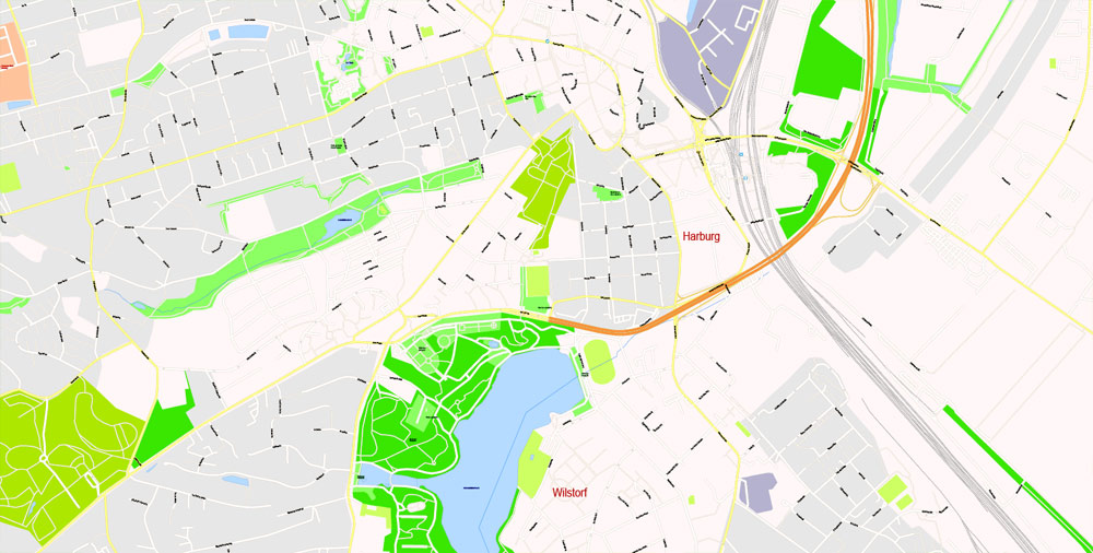
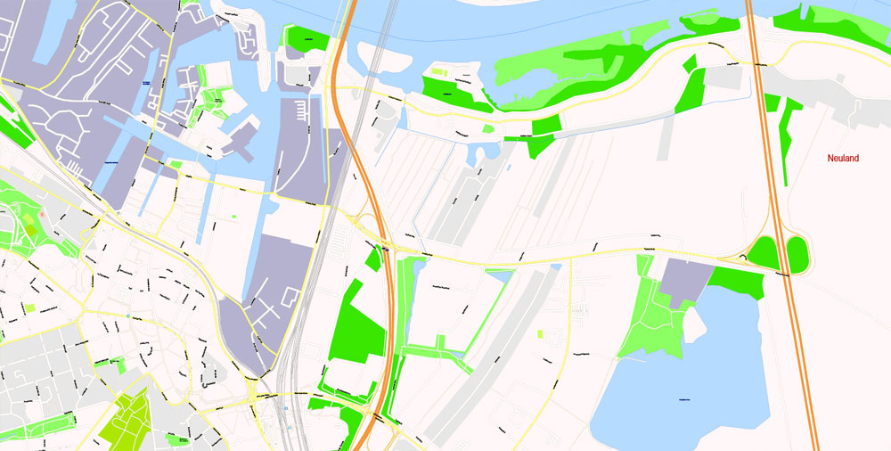
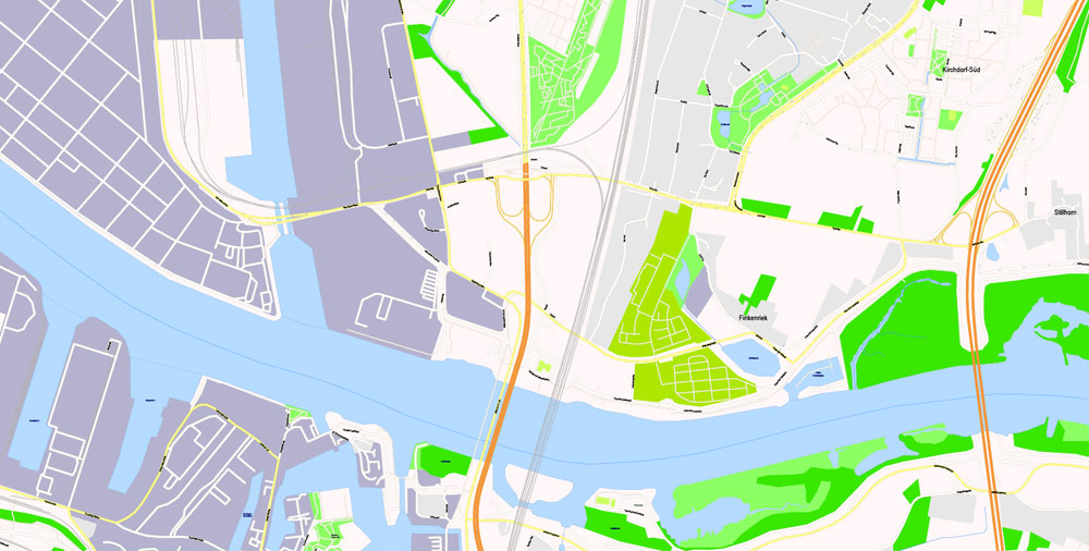
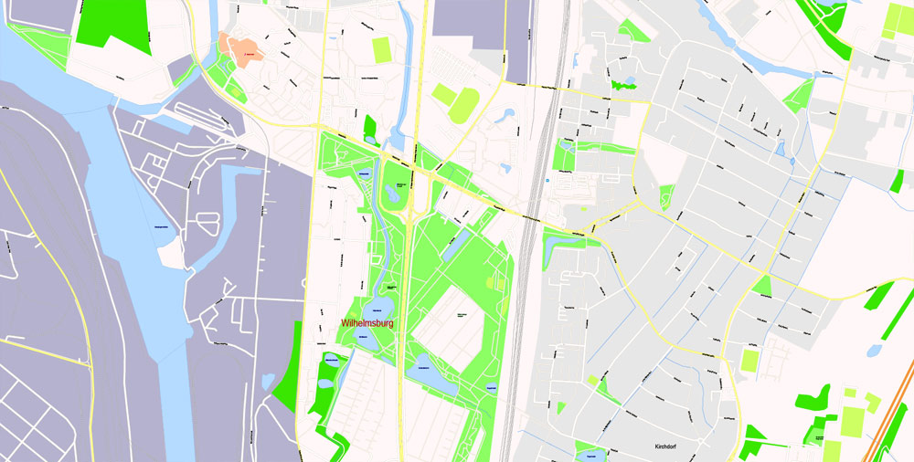
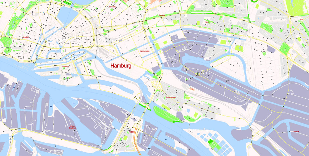
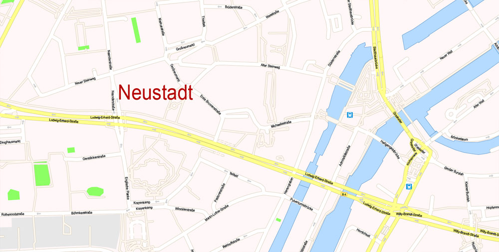
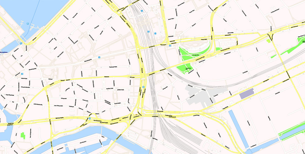
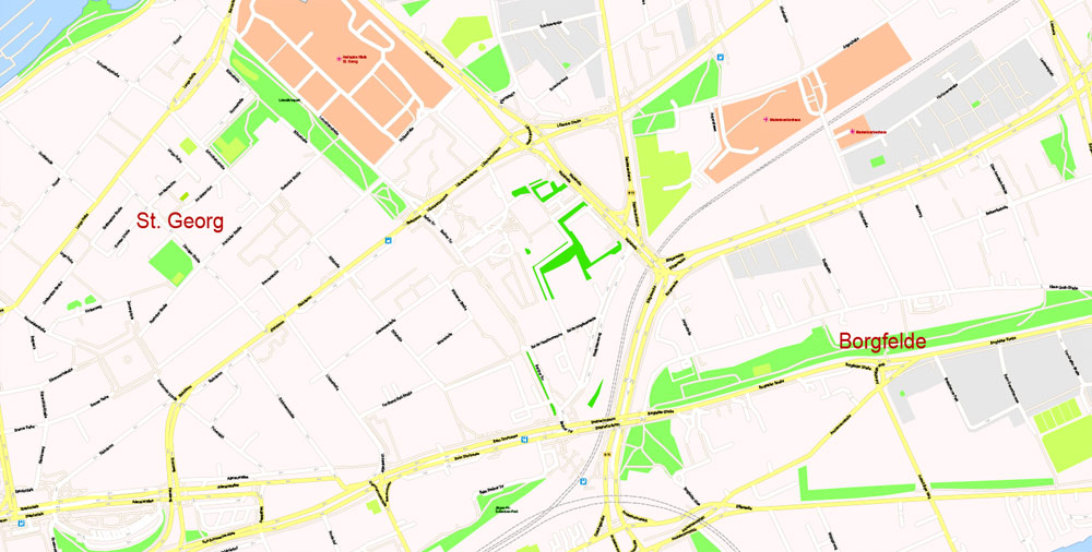
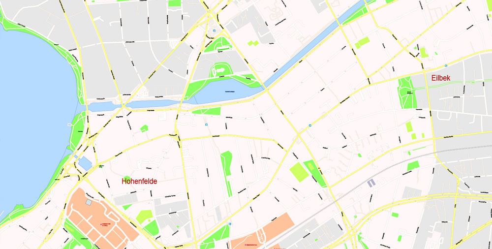
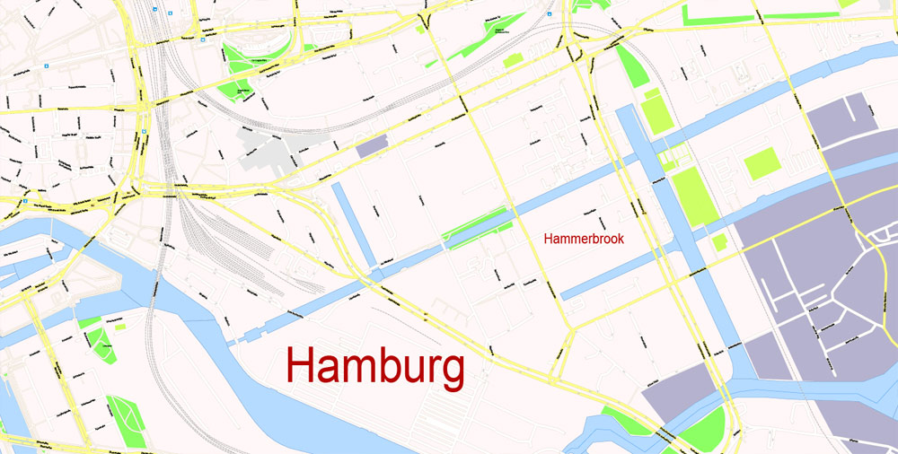
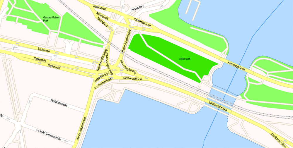
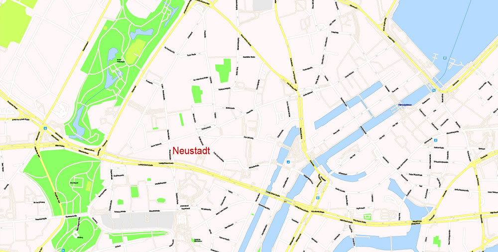
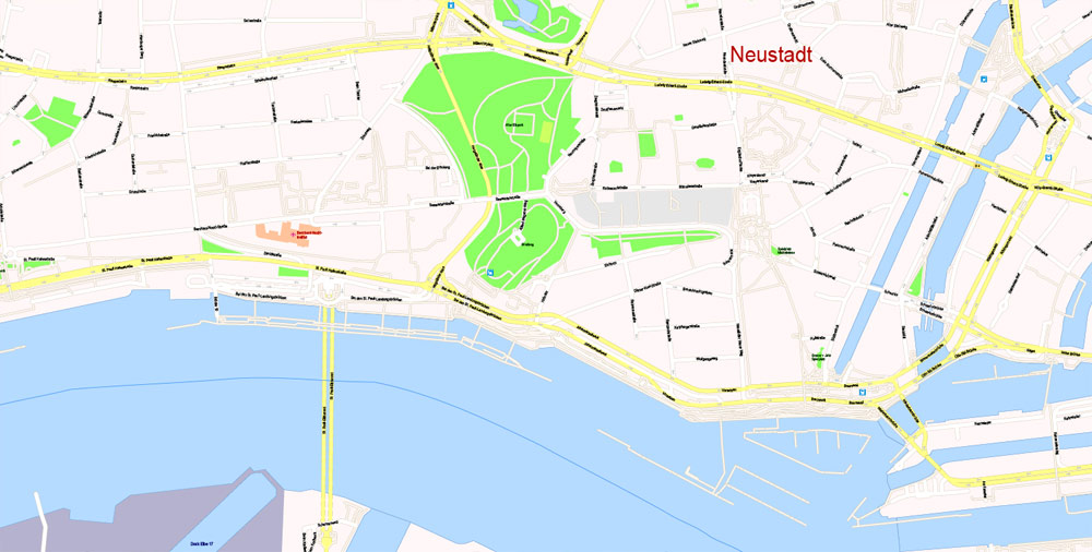
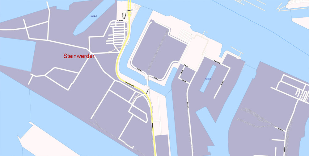
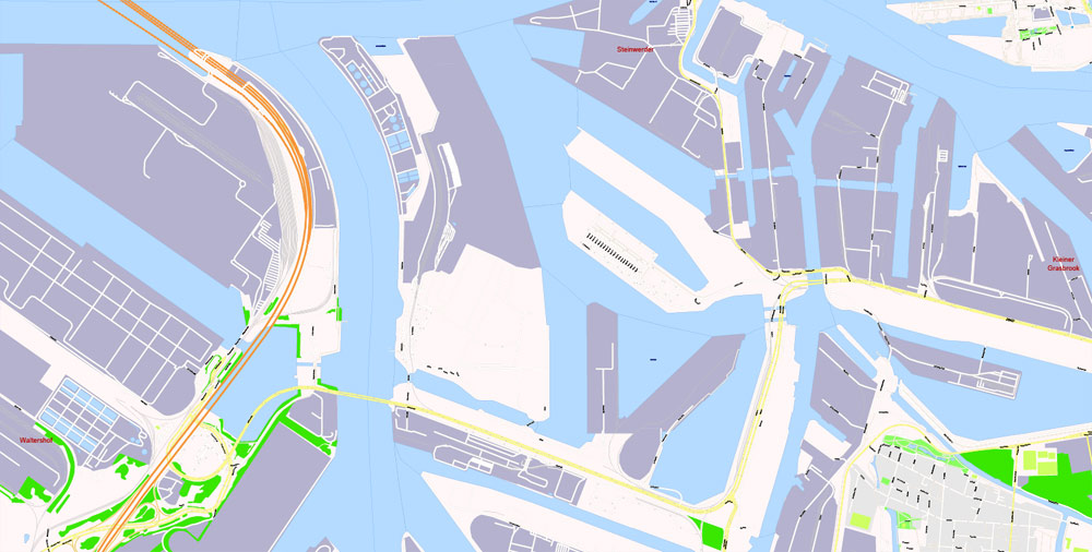
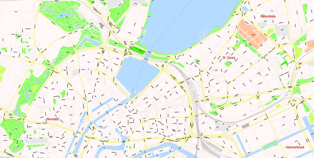
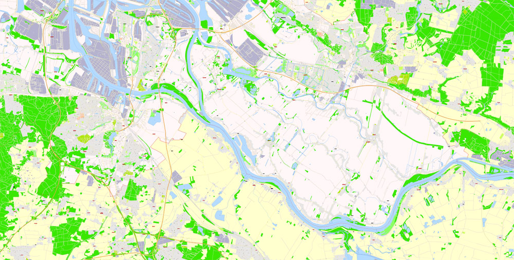
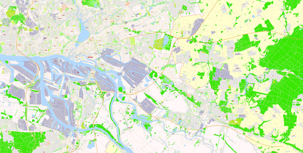
Hamburg, Germany.
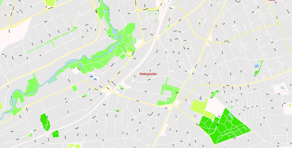
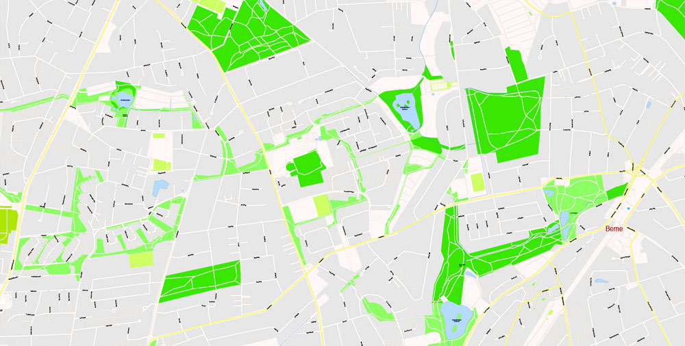
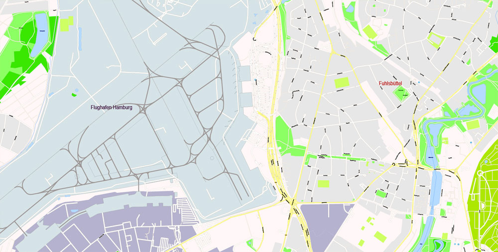
This vector map of Hamburg city is used as a basis for design, editing, and further printing.
This is the most detailed, exact map of Hamburg city for high-quality printing and polygraphy. You can always clarify the map development date by contacting us.
For your convenience, all objects on Hamburg vector city map are divided into layers. And the editing is very easy – colors, lines, etc.
You can easily add any objects needed (e.g. shops, salons, sale points, gas station or attraction) on any layer of Hamburg vector map.
Hamburg is the second-largest city in Germany with a population of over 1.8 million.
One of Germany’s 16 federal states, it is surrounded by Schleswig-Holstein to the north and Lower Saxony to the south. The city’s metropolitan region is home to more than five million people. Hamburg lies on the River Elbe and two of its tributaries, the River Alster and the River Bille.
One of the advantages of Hamburg city vector maps of our production is the relevance of cartographic data, we constantly update all our products.
This vector map of Hamburg city is used by:
designers, layout designers, printers, advertisers and architects. Our product – vector maps – is designed for further editing and printing in large formats – from @Wall format (a few meters) to A-0 and A-1, A-2, A-3.
The Hamburg city map in vector format is used for design, urban planning, presentations and media visualizations.
The advertising and presentation map of Hamburg city (usually the final designer marks the routes, and puts the client’s objects (shops, saloons, gas stations etc.)
The undoubted advantage is that people will NEVER throw out this advertising product – the map. In fact, as an advertising medium, a city map is the most “long-playing” of the well-known polygraphic advertising media, with the longest lifespan, and the maximum number of interactions with the customer.
For travelers, maps are sold at the airports and gas stations around the world. Often the source is our vector maps.
Take a look, who purchases our vector maps of Hamburg city in “Our Clients and Friends” page – these are large and small companies, from super-brands like Volvo and Starbucks, to small design studios and printing houses.
It’s very easy to work with vector maps of Hamburg city, even for a not very experienced designer who can turn on and off the map layers, add new objects, change the colors of fill and lines according to customer requirements.
The undoubted advantage of Hamburg city vector maps in printing is an excellent and detailed visualization, when customer can expand a large paper map and instantly define his location, find a landmark, an object or address on map, unlike using the popular electronic formats of Google and Yandex maps for example.
Printable vector maps of Hamburg city are much more convenient and efficient than any electronic maps on your smartphone, because ALL DETAILS are displayed in the entire space of Hamburg city map.
Useful tips on working with vector maps of cities and countries in Adobe Illustrator.
«V» – launches the Selection tool (cursor, black arrow), which makes active any vector line.
«А» – launches the Direct Selection tool (white cursor), allows you to select curve elements and drag them to the desired place.
«R» – activates the Rotate tool, which helps you rotating selected objects around the center point by 360 degrees.
«E» – gives you the opportunity to use the Eraser tool and erase unnecessary parts.
«X» – switches between Fill and Stroke in the Tools section. Try to get used to this hot key and
you will quickly understand that you can’t live and work without it.
Guides are not limited to vertical and horizontal in Adobe Illustrator. You can also create a diagonal guide for example. Moreover, you can turn any contours into guides. Select the outline and go to View > Guides > Make Guides (Create Guides), or simply press Cmd/Ctrl + 5. You can also turn the guides back into an editable object. Go to menu, View > Guides > Unlock Guides (Release Guides), select the guide you want to edit and select View > Guides > Release Guides (Reset Guides), or just press Cmd/Ctrl + Option / Alt + 5).
You will probably want to change the color scheme used on our Hamburg vector city map.
To quickly and effectively play with colors.
Of course, you can do it manually, all objects in our Hamburg city vector map are divided according to types and layers, and you can easily change the color gamma of vector objects in groups and layers.
The official name reflects Hamburg’s history as a member of the medieval Hanseatic League and a free imperial city of the Holy Roman Empire. Before the 1871 Unification of Germany, it was a fully sovereign city state, and before 1919 formed a civic republic headed constitutionally by a class of hereditary grand burghers or Hanseaten. Beset by disasters such as the Great Fire of Hamburg, north Sea flood of 1962 and military conflicts including World War II bombing raids, the city has managed to recover and emerge wealthier after each catastrophe.
But there is more effective way of working with the whole VECTOR MAP of Hamburg city and all layers:
The overview dialog «Edit colors»/«Repaint Graphic Object» (this dialog box name can change depending on the context):
If you have selected a part or a layer of Hamburg city vector map and open the dialog box by clicking the icon in the Control panel, on the Samples palette or the Color Catalog, or if you choose Edit > Edit Colors> Repaint Graphic Object, then the «Repaint Graphic Object» dialog box appears, and you get access to «Assign» and «Edit» tabs.
If a picture or a map fragment is not selected, and you open the dialog box by clicking the icon in the Control panel, on the Samples palette or in the Color Catalog, the «Edit Colors» dialog box appears and you can only access the «Edit» tab.
Regardless of the name at the top of the dialog box, the right-hand side always displays the color group of the current document, as well as two default color groups: Print Color and Grayscale. These color groups can be selected and used any time.
Create and edit color groups of Hamburg city vector map, and also assign colors using the «Edit Colors»/ а «Repaint Graphic Object» dialog box.
A. Creating and editing of a color group on the «Edit» tab
B. Assigning colors on the «Assign» tab
C. Select a group of colors from the «Color groups» list
The option «Repaint a graphic object» in the lower part of the dialog box allows you to preview the colors on a selected layer of Vector map, or a group of elements, and specify whether its colors will be redefined when the dialog box is closed.
The main areas of the dialog box are:
«Edit»
The «Edit» tab is designed to create a new or edit the existing color groups.
The harmony rules Menu and the Color Wheel are used to conduct experiments with color harmonies. The color wheel shows how colors are related in color harmony, and the color bars allow you to view and manipulate an individual color values. In addition, you can adjust the brightness, add and remove colors, save color groups and view colors on the selected Vector Map of Hamburg city or a separated layers.
«Assign»
The «Assign» tab is used to view and control on how the original colors are replaced with colors from the color group like your corporate colors in the Vector Map of Hamburg city.
The assign color ability is provided only if the entire map, layer or fragment is selected in the document. You can specify which of new colors replace the current colors, whether the spot colors should be preserved and how colors are replaced (for example, you can replace colors completely or changing the color tone while maintaining the brightness). The «Assign» tab allows you to redefine colors in the Vector Map of Hamburg city, or in separate layers and fragments using the current color group or reducing the number of colors in the current Vector Map.
Color groups
Is a list of all saved color groups for current document (the same groups appear in the «Samples» palette). You can edit and delete the existing color groups, as well as creating a new ones using the list of “Color Groups” in the dialog box. All changes appear in the «Samples» palette.
The highlighted color group shows, which color group is currently edited.
Any color group can be selected and edited, or used to redefine the colors in the selected vector map of Hamburg city, its fragments or elements.
Saving a color group adds this group to the specified list.
Opening the «Edit Colors»/«Repaint Graphic Object» dialog box.
Open the «Edit Colors»/«Repaint Graphic Object» dialog box using one of the following methods:
«Edit»> «Edit Colors»> «Repaint Graphic object» or «Repaint With Style».
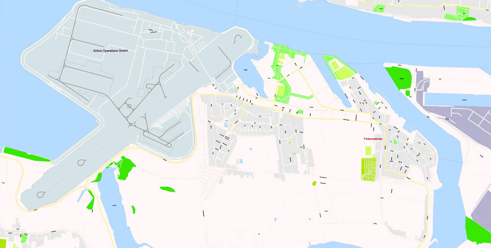
Hamburg is Europe’s third-largest port. Major regional broadcasting firm NDR, the printing and publishing firm Gruner + Jahr and the newspapers Der Spiegel and Die Zeit are based in the city. Hamburg is the seat of Germany’s oldest stock exchange and the world’s oldest merchant bank, Berenberg Bank. Media, commercial, logistical, and industrial firms with significant locations in the city include multinationals Airbus, Blohm + Voss, Aurubis, Beiersdorf, and Unilever.
Use these commands if you need to edit the colors in the selected vector map of Hamburg city.
«Repaint Graphic object» button on the «Control» panel.
Use this button if you need to adjust colors of Hamburg city vector map using the а «Repaint graphic object» dialog box.
The specified button is available if the selected vector map or its fragment contains two or more colors.
Note. This color editing method is convenient for global color adjustment in a vector map, if global colors were not used when creating a City Map of Hamburg.
The «Edit colors» button or «Edit or apply colors» on the «Color Catalog» palette
Click this button if you need to edit colors on the «Color Catalog» palette or edit and then apply them to the selected Vector Map of Hamburg city or its fragment.
The «Edit color group» button or «Edit or apply color group» on the «Samples» palette.
Click this button if you need to edit the colors in the specific color group or edit and apply them to the selected Vector Map of Hamburg city or a group of its elements, for example, the whole layer “Streets and lines”. You can also double-click the color group in the Samples panel to open the dialog box.
If the map file is too large and your computer freezes or even can’t open it quickly:
1. Try to reduce the color resolution of the video card (display) to 256 colors while working with a large map.
2. Using Windows Task Manager, select all the application you don’t need, while working with map, just turn them off.
3. Launch Adobe Illustrator. (DO NOT OPEN the vector map file)
4. Start the Windows Task Manager using administrator rights > Find the “Illustrator” process > set the «real time» priority,
5. Open the file. When you see the LEGACY FONT popup window – click “OK” (do not update). You can restore the TEXT later.
6. Can also be useful: When file is opened – Edit > Settings > Basic Settings > disable smoothing. /// It looks scary, but works quickly)))
We recommend saving the file in Adobe Illustrator 10 version. It’s much more stable when working with VERY BIG size files.
The city hosts specialists in world economics and international law, including consular and diplomatic missions as the International Tribunal for the Law of the Sea, the EU-LAC Foundation, and the UNESCO Institute for Lifelong Learning, multipartite international political conferences and summits such as Europe and China and the G20. Former German Chancellor Helmut Schmidt and Angela Merkel, German chancellor since 2005, come from Hamburg.
The city is a major international and domestic tourist destination. It ranked 18th in the world for livability in 2016. The Speicherstadt and Kontorhausviertel were declared World Heritage Sites by UNESCO in 2015.
Hamburg is a major European science, research, and education hub, with several universities and institutions. Among its most notable cultural venues are the Elbphilharmonie and Laeiszhalle concert halls. It gave birth to movements like Hamburger Schule and paved the way for bands including The Beatles. Hamburg is also known for several theatres and a variety of musical shows. St. Pauli’s Reeperbahn is among the best-known European entertainment districts.
Geography
Hamburg is at a sheltered natural harbour on the southern fanning-out of the Jutland Peninsula, between Continental Europe to the south and Scandinavia to the north, with the North Sea to the west and the Baltic Sea to the northeast. It is on the River Elbe at its confluence with the Alster and Bille. The city centre is around the Binnenalster (“Inner Alster”) and Außenalster (“Outer Alster”), both formed by damming the River Alster to create lakes. The islands of Neuwerk, Scharhörn, and Nigehörn, 100 kilometres (60 mi) away in the Hamburg Wadden Sea National Park, are also part of the city of Hamburg.
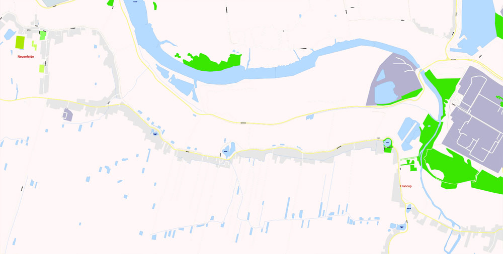
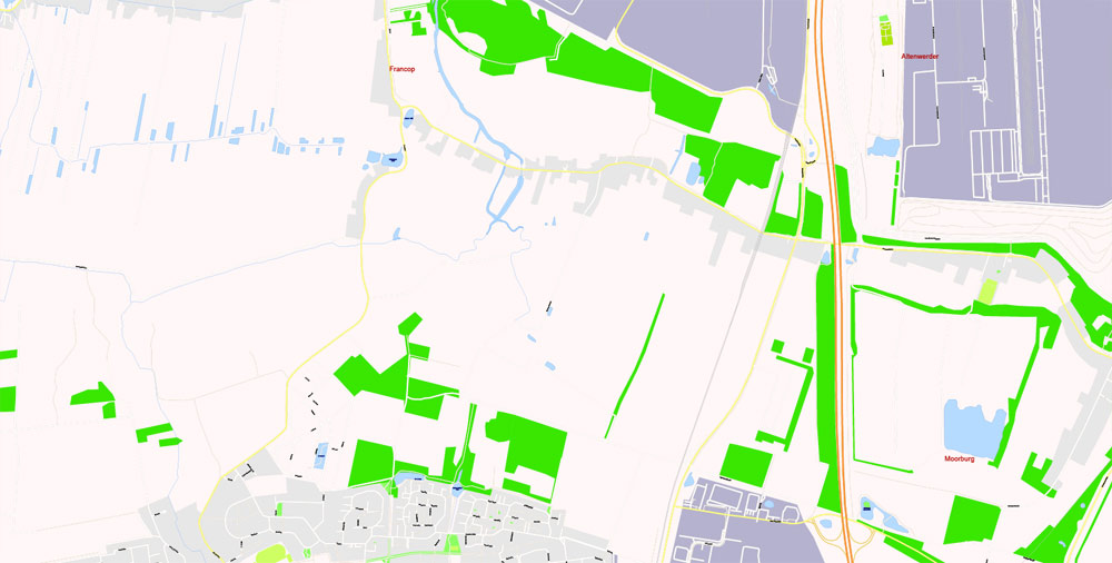
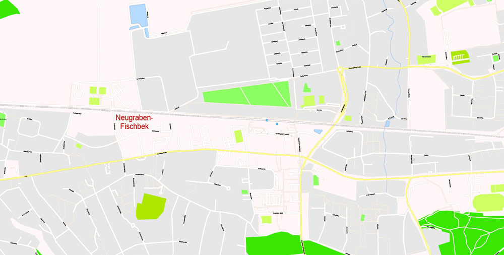
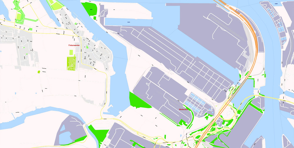
The neighborhoods of Neuenfelde, Cranz, Francop and Finkenwerder are part of the Altes Land (old land) region, the largest contiguous fruit-producing region in Central Europe. Neugraben-Fischbek has Hamburg’s highest elevation, the Hasselbrack at 116.2 metres (381 ft) AMSL. Hamburg borders the states of Schleswig-Holstein and Lower Saxony.
Hamburg
City in Germany
Hamburg, a major port city in northern Germany, is connected to the North Sea by the Elbe River. It’s crossed by hundreds of canals, and also contains large areas of parkland. Near its core, Inner Alster lake is dotted with boats and surrounded by cafes. The city’s central Jungfernstieg boulevard connects the Neustadt (new town) with the Altstadt (old town), home to landmarks like 18th-century St. Michael’s Church.
Area
• City 755 km2 (292 sq mi)
Population
• City 1,787,408
• Density 2,400/km2 (6,100/sq mi)
• Metro 5,046,182
Free vector maps:

Free download printable map Europe vector Adobe Illustrator >>>
Free download printable PDF map Europe vector Adobe PDF >>>
Small guide: How to work with the vector map?
You can: Mass select objects by type and color – for example, the objects type “building” (they are usually dark gray) – and remove them from the map, if you do not need them in your print or design project. You can also easily change the thickness of lines (streets), just bulk selection the road by the line color.
The streets are separated by type, for example, type “residential road” are usually white with a gray stroke. Highway usually orange with a brown or dark gray stroke.
It is easy to change the font of inscriptions, all or each individually. Also, just can be make and any other manipulation of objects on the vector map in Adobe illustrator format.
Important: All the proportions on the map are true, that is, the relative sizes of the objects are true, because Map is based on an accurate GPS projection, and It transated into the (usual for all) the Mercator projection.
You can easily change the color, stroke and fill of any object on the map, zoom without loss of quality Image Verification.
Select object

Bulk selection the same objects on the vector map

See the bulk selected objects on the vector map

Bulk delete buildungs from the vector map

Select residencial road (small street) on the vector map

Bulk selection the same lines (streets, roads) on the full map

Create fat lines of the streets on the vector maps (bulk action) 1

Create fat lines of the streets on the vector maps (bulk action) 2

Create fat lines of the streets on the vector maps (bulk action) 3

You can easily change the color, stroke and fill of any object on the map, zoom without loss of quality Image Verification.

 Author: Kirill Shrayber, Ph.D. FRGS

 editable Adobe Illustrator in layers")