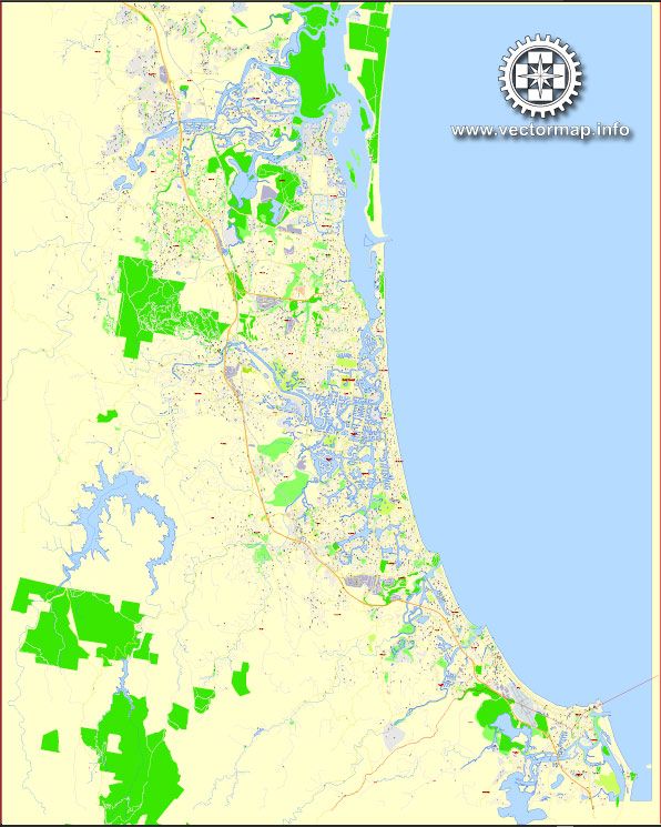
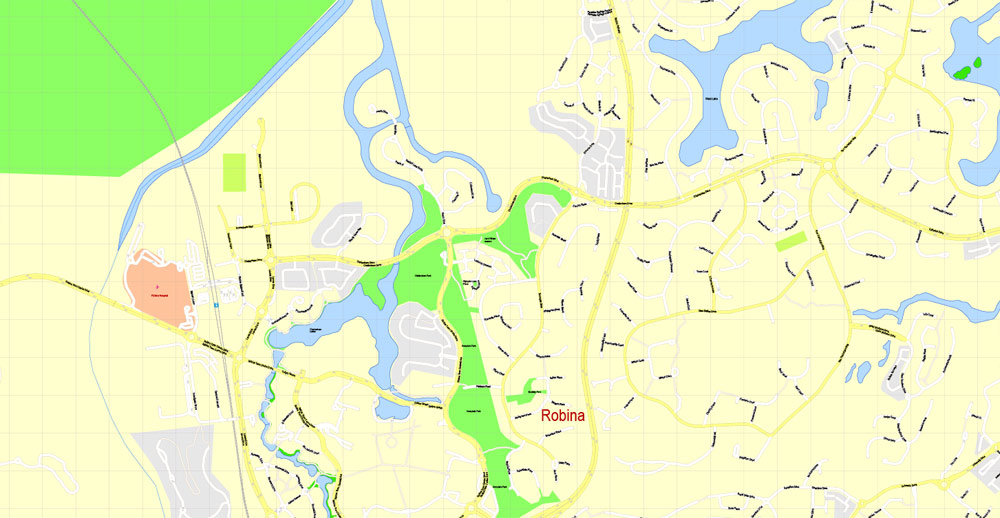
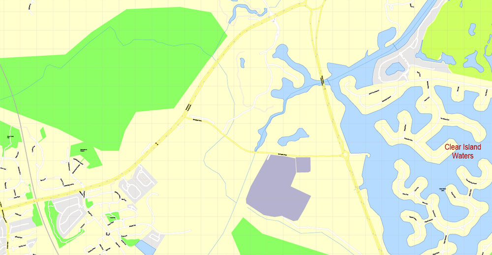
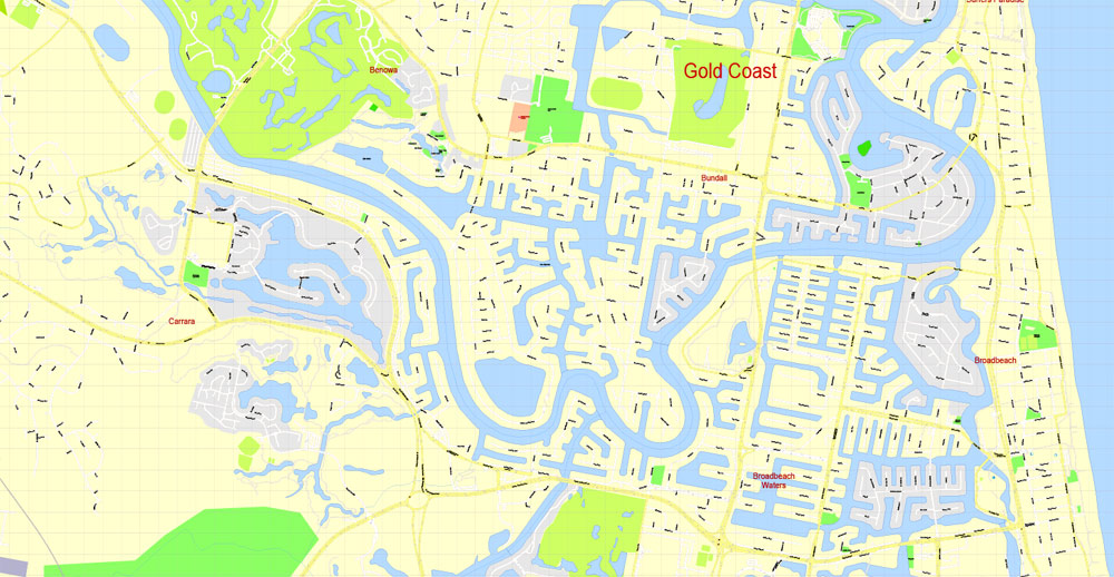
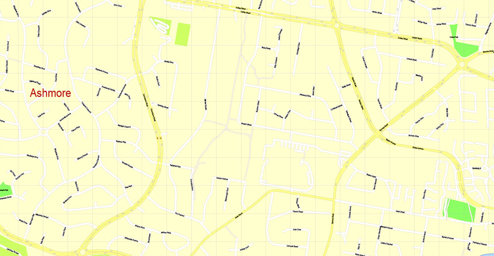
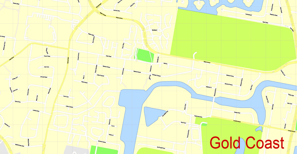
Printable PDF Map Gold Coast, Australia, exact vector street map, V17.11, fully editable, Adobe PDF, G-View Level 17 (100 meters scale), full vector, scalable, editable, text format of street names, 19 Mb ZIP.
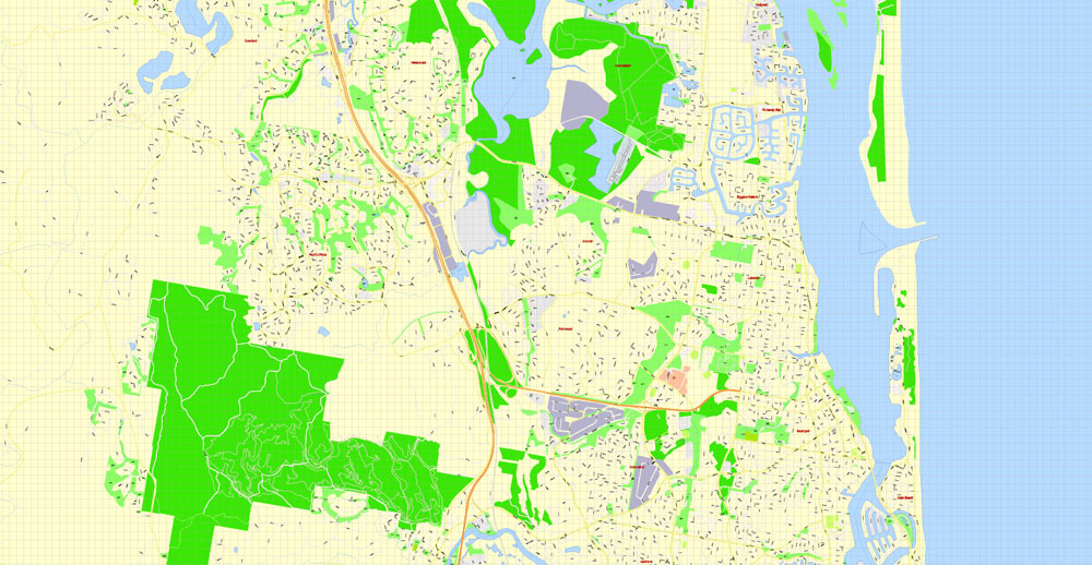
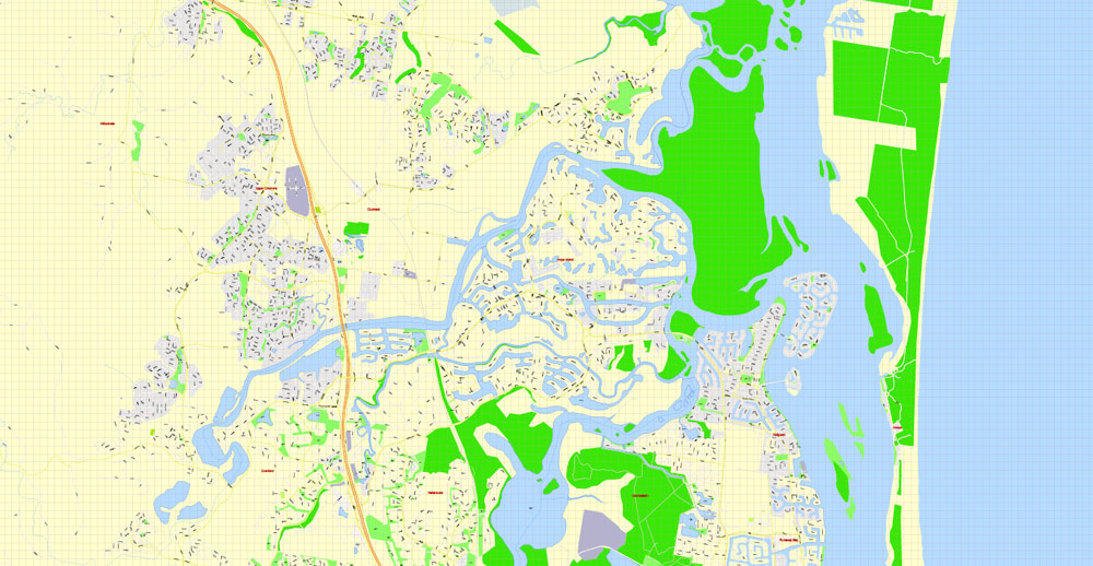
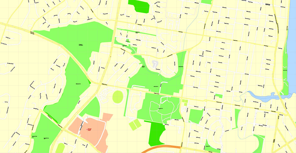
All streets named, NO buildings, main objects. Map for publishing, design, printing, publications, arts, projects, presentations, for architects, designers and builders, business, logistics. The most exact and detailed map of the city.
Separated layers: streets and roads, color fills, road labels, street arrows, objects, names 1,2,3, scales. Royalty Free.
You can edit this file by Adobe Illustrator, Adobe Acrobat, Corel Draw.
DWG, DXF, CDR and other formats – by request, same price, please contact.
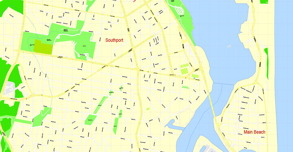
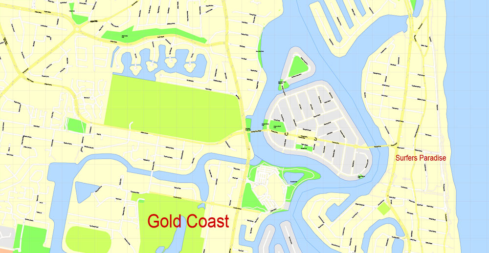
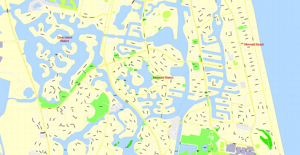
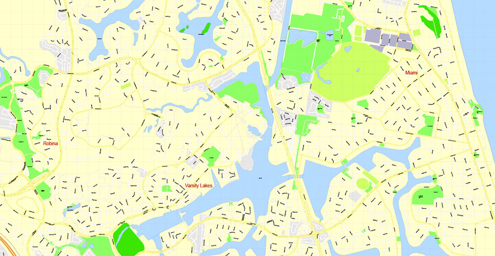
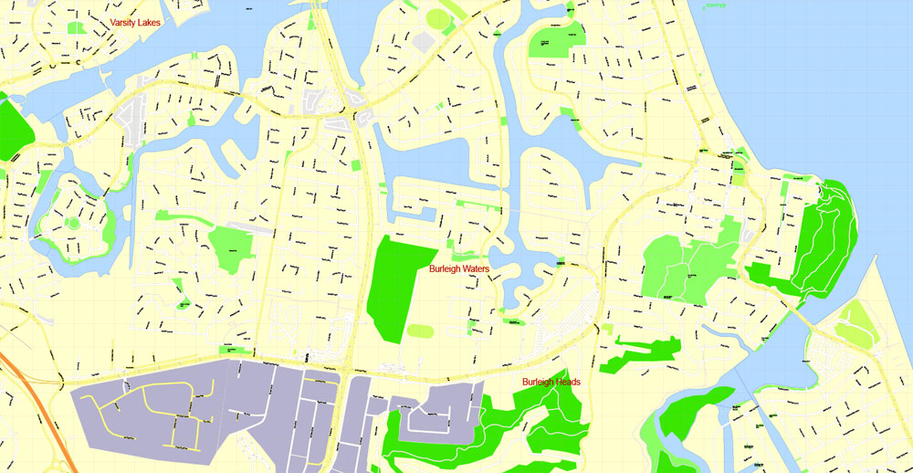
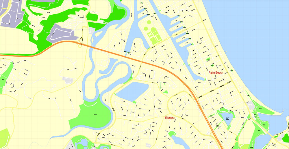
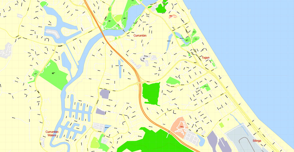
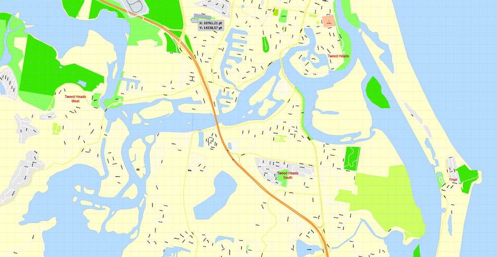
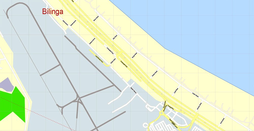
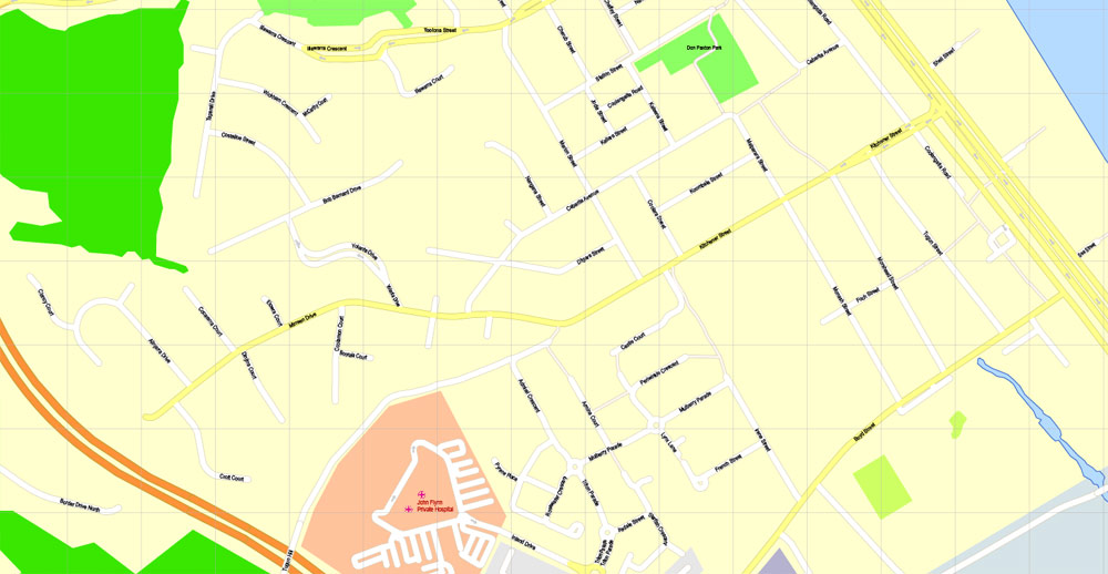
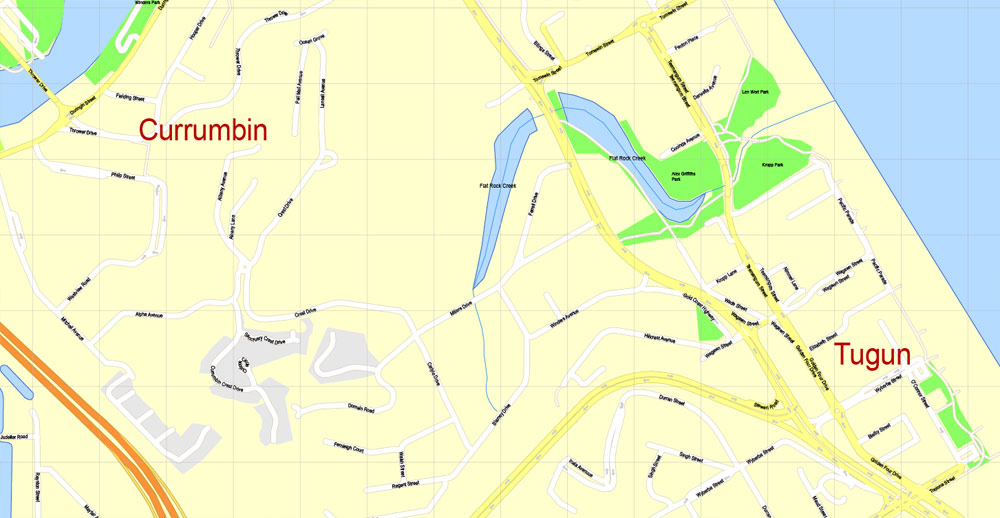
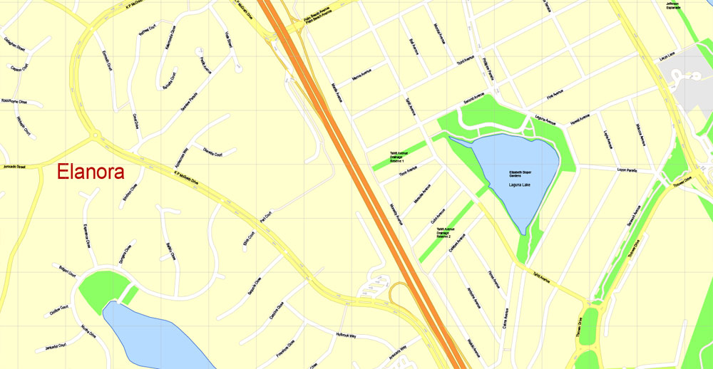
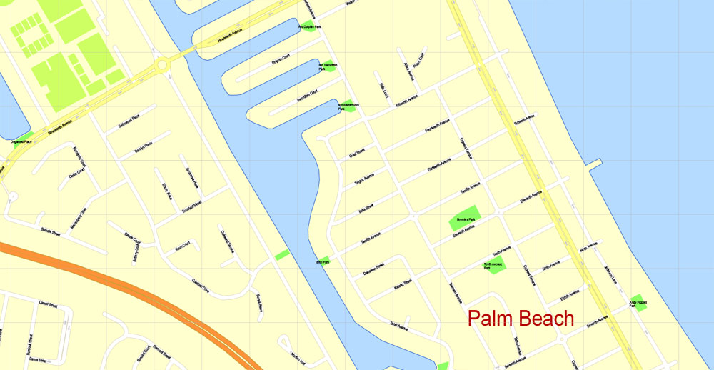
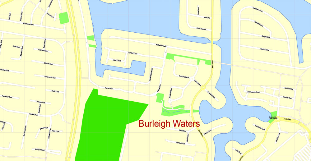
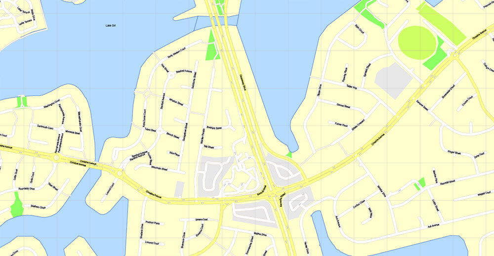
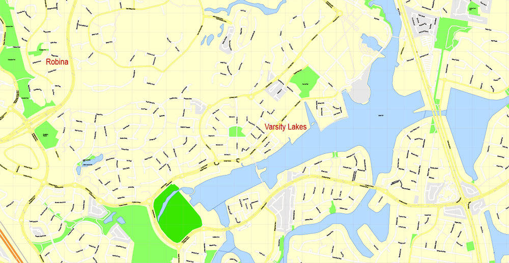
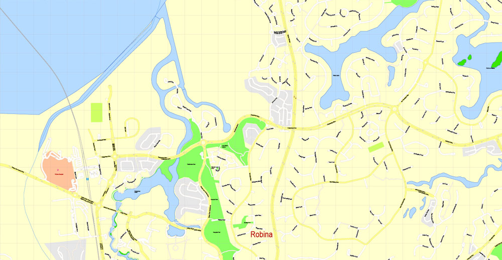
The Gold Coast, Queensland, Australia.
This vector map of Gold Coast is used as a basis for design, editing, and further printing.
This is the most detailed, exact map of Gold Coast for high-quality printing and polygraphy. You can always clarify the map development date by contacting us.
For your convenience, all objects on Gold Coast vector map are divided into layers. And the editing is very easy – colors, lines, etc.
You can easily add any objects needed (e.g. shops, salons, sale points, gas station or attraction) on any layer of Gold Coast vector map.
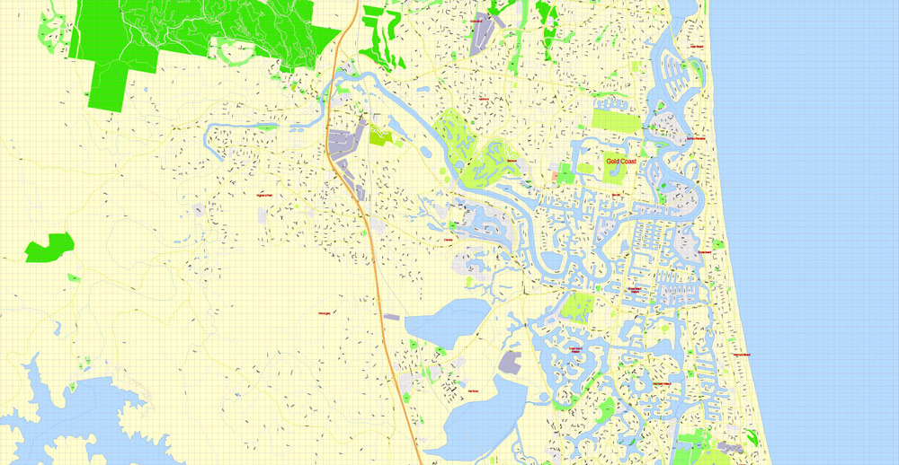
The Gold Coast is a coastal city in the Australian state of Queensland, approximately 66 kilometres (41 mi) south-southeast of the state capital Brisbane and immediately north of the border with New South Wales. With a census-estimated 2016 population of 638,090, the Gold Coast is the sixth-largest city in Australia, making it the largest non-capital city, and Queensland’s second-largest city.
One of the advantages of Gold Coast vector maps of our production is the relevance of cartographic data, we constantly update all our products.
This vector map of Gold Coast is used by:
designers, layout designers, printers, advertisers and architects. Our product – vector maps – is designed for further editing and printing in large formats – from @Wall format (a few meters) to A-0 and A-1, A-2, A-3.
Gold Coast map in vector format is used for design, urban planning, presentations and media visualizations.
Advertising and presentation map of Gold Coast (usually the final designer marks the routes, and puts the client’s objects (shops, saloons, gas stations etc.)
The undoubted advantage is that people will NEVER throw out this advertising product – the map. In fact, as an advertising medium, a map is the most “long-playing” of the well-known polygraphic advertising media, with the longest lifespan, and the maximum number of interactions with the customer.
For travelers, maps are sold at the airports and gas stations around the world. Often the source is our vector maps.
Take a look, who purchases our vector maps of Gold Coast in “Our Clients and Friends” page – these are large and small companies, from super-brands like Volvo and Starbucks, to small design studios and printing houses.
It’s very easy to work with vector maps of Gold Coast, even for a not very experienced designer who can turn on and off the map layers, add new objects, change the colors of fill and lines according to customer requirements.
The Gold Coast region remained largely uninhabited by Europeans until 1823 when explorer John Oxley landed at Mermaid Beach. The hinterland’s red cedar supply attracted people to the area in the mid-19th century. Later in 1875, Southport was surveyed and established and grew a reputation as a secluded holiday destination for wealthy Brisbane residents.
The undoubted advantage of Gold Coast vector maps in printing is an excellent and detailed visualization, when customer can expand a large paper map and instantly define his location, find a landmark, an object or address on map, unlike using the popular electronic formats of Google and Yandex maps for example.
Printable vector maps of Gold Coast are much more convenient and efficient than any electronic maps on your smartphone, because ALL DETAILS are displayed in the entire space of Gold Coast map.
Useful tips on working with vector maps of cities and countries in Adobe Illustrator.
«V» – launches the Selection tool (cursor, black arrow), which makes active any vector line.
«А» – launches the Direct Selection tool (white cursor), allows you to select curve elements and drag them to the desired place.
«R» – activates the Rotate tool, which helps you rotating selected objects around the center point by 360 degrees.
«E» – gives you the opportunity to use the Eraser tool and erase unnecessary parts.
«X» – switches between Fill and Stroke in the Tools section. Try to get used to this hot key and
you will quickly understand that you can’t live and work without it.
Guides are not limited to vertical and horizontal in Adobe Illustrator. You can also create a diagonal guide for example. Moreover, you can turn any contours into guides. Select the outline and go to View > Guides > Make Guides (Create Guides), or simply press Cmd/Ctrl + 5. You can also turn the guides back into an editable object. Go to menu, View > Guides > Unlock Guides (Release Guides), select the guide you want to edit and select View > Guides > Release Guides (Reset Guides), or just press Cmd/Ctrl + Option / Alt + 5).
After the establishment of the Surfers Paradise Hotel in the late 1920s, the Gold Coast region grew significantly. The area boomed in the 1980s as a leading tourist destination and in 1994, the City of Gold Coast local government area was expanded to encompass the majority of the Gold Coast’s metropolitan area, becoming the second most populous local government area in Australia after the City of Brisbane.
You will probably want to change the color scheme used on our Gold Coast vector map.
To quickly and effectively play with colors.
Of course, you can do it manually, all objects in our Gold Coast vector map are divided according to types and layers, and you can easily change the color gamma of vector objects in groups and layers.
But there is more effective way of working with the whole VECTOR MAP of Gold Coast and all layers:
The overview dialog «Edit colors»/«Repaint Graphic Object» (this dialog box name can change depending on the context):
If you have selected a part or a layer of Gold Coast vector map and open the dialog box by clicking the icon in the Control panel, on the Samples palette or the Color Catalog, or if you choose Edit > Edit Colors> Repaint Graphic Object, then the «Repaint Graphic Object» dialog box appears, and you get access to «Assign» and «Edit» tabs.
If a picture or a map fragment is not selected, and you open the dialog box by clicking the icon in the Control panel, on the Samples palette or in the Color Catalog, the «Edit Colors» dialog box appears and you can only access the «Edit» tab.
Regardless of the name at the top of the dialog box, the right-hand side always displays the color group of the current document, as well as two default color groups: Print Color and Grayscale. These color groups can be selected and used any time.
Create and edit color groups of Gold Coast vector map, and also assign colors using the «Edit Colors»/ а «Repaint Graphic Object» dialog box.
A. Creating and editing of a color group on the «Edit» tab
B. Assigning colors on the «Assign» tab
C. Select a group of colors from the «Color groups» list
The option «Repaint a graphic object» in the lower part of the dialog box allows you to preview the colors on a selected layer of Vector map, or a group of elements, and specify whether its colors will be redefined when the dialog box is closed.
The main areas of the dialog box are:
«Edit»
The «Edit» tab is designed to create a new or edit the existing color groups.
The harmony rules Menu and the Color Wheel are used to conduct experiments with color harmonies. The color wheel shows how colors are related in color harmony, and the color bars allow you to view and manipulate an individual color values. In addition, you can adjust the brightness, add and remove colors, save color groups and view colors on the selected Vector Map of Gold Coast or a separated layers.
«Assign»
The «Assign» tab is used to view and control on how the original colors are replaced with colors from the color group like your corporate colors in the Vector Map of Gold Coast.
The assign color ability is provided only if the entire map, layer or fragment is selected in the document. You can specify which of new colors replace the current colors, whether the spot colors should be preserved and how colors are replaced (for example, you can replace colors completely or changing the color tone while maintaining the brightness). The «Assign» tab allows you to redefine colors in the Vector Map of Gold Coast, or in separate layers and fragments using the current color group or reducing the number of colors in the current Vector Map.
Color groups
Is a list of all saved color groups for current document (the same groups appear in the «Samples» palette). You can edit and delete the existing color groups, as well as creating a new ones using the list of “Color Groups” in the dialog box. All changes appear in the «Samples» palette.
The highlighted color group shows, which color group is currently edited.
Any color group can be selected and edited, or used to redefine the colors in the selected vector map of Gold Coast , its fragments or elements.
Saving a color group adds this group to the specified list.
Opening the «Edit Colors»/«Repaint Graphic Object» dialog box.
Open the «Edit Colors»/«Repaint Graphic Object» dialog box using one of the following methods:
«Edit»> «Edit Colors»> «Repaint Graphic object» or «Repaint With Style».
Use these commands if you need to edit the colors in the selected vector map of Gold Coast city.
«Repaint Graphic object» button on the «Control» panel.
Use this button if you need to adjust colors of Gold Coast vector map using the а «Repaint graphic object» dialog box.
The specified button is available if the selected vector map or its fragment contains two or more colors.
Note. This color editing method is convenient for global color adjustment in a vector map, if global colors were not used when creating a Map of Gold Coast.
The «Edit colors» button or «Edit or apply colors» on the «Color Catalog» palette
Click this button if you need to edit colors on the «Color Catalog» palette or edit and then apply them to the selected Vector Map of Gold Coast or its fragment.
The «Edit color group» button or «Edit or apply color group» on the «Samples» palette.
Click this button if you need to edit the colors in the specific color group or edit and apply them to the selected Vector Map of Gold Coast or a group of its elements, for example, the whole layer “Streets and lines”. You can also double-click the color group in the Samples panel to open the dialog box.
If the map file is too large and your computer freezes or even can’t open it quickly:
1. Try to reduce the color resolution of the video card (display) to 256 colors while working with a large map.
2. Using Windows Task Manager, select all the application you don’t need, while working with map, just turn them off.
3. Launch Adobe Illustrator. (DO NOT OPEN the vector map file)
4. Start the Windows Task Manager using administrator rights > Find the “Illustrator” process > set the «real time» priority,
5. Open the file. When you see the LEGACY FONT popup window – click “OK” (do not update). You can restore the TEXT later.
6. Can also be useful: When file is opened – Edit > Settings > Basic Settings > disable smoothing. /// It looks scary, but works quickly)))
We recommend saving the file in Adobe Illustrator 10 version. It’s much more stable when working with VERY BIG size files.
Today, the Gold Coast is a major tourist destination with its sunny subtropical climate and has become widely known for its surfing beaches, high-rise dominated skyline, theme parks, nightlife, and rainforest hinterland. The city is part of the nation’s entertainment industry with television productions and a major film industry. The city hosted the 21st Commonwealth Games which ran from 4 to 15 April 2018.
Geography
View from the lookout at Purling Brook Falls in the Gold Coast hinterland
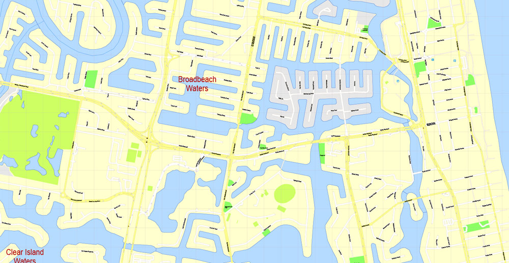
Aerial view of Gold Coast suburbs: Mermaid Waters (left) and Broadbeach Waters (right). The image depicts the man-made canals of the city, built to accommodate housing development.
The Gold Coast is approximately half covered by forests of various types. This includes small patches of near-pristine ancient rainforest, mangrove-covered islands, and patches of coastal heathlands and farmland with areas of uncleared eucalypt forest. Of the plantation pine forests that were planted in the 1950s and 1960s, when commercial forest planting for tax minimisation was encouraged by the Commonwealth government, tiny remnants remain.
Gold Coast City lies in the southeast corner of Queensland, to the south of Brisbane, the state capital. The Albert River separates the Gold Coast from Logan City, a suburban area of Brisbane.
Gold Coast City stretches from Beenleigh and Russell Island to the border with New South Wales (NSW) approximately 56 km (35 mi) south, and extends from the coast west to the foothills of the Great Dividing Range in World Heritage listed Lamington National Park.
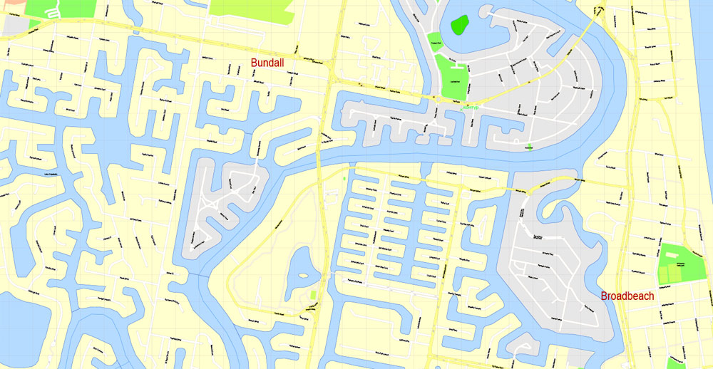
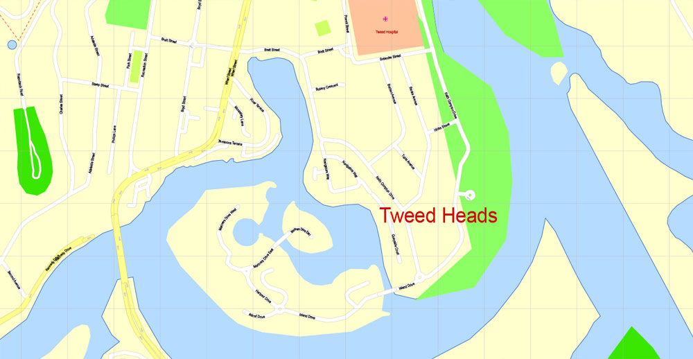
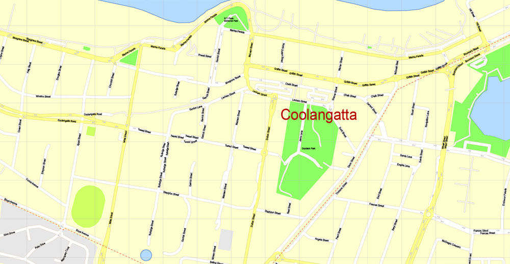
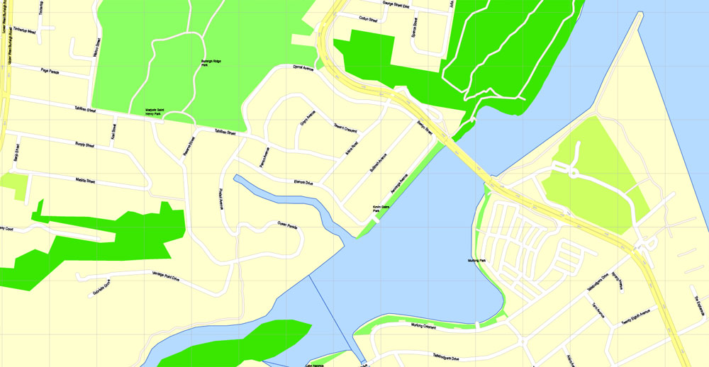
The southernmost town of Gold Coast City, Coolangatta, includes Point Danger and its lighthouse. Coolangatta is a twin city with Tweed Heads located directly across the NSW border. At 28.1667°S 153.55°E, this is the most easterly point on the Queensland mainland (Point Lookout on the offshore island of North Stradbroke is slightly further east). From Coolangatta, approximately forty kilometres of holiday resorts and surfing beaches stretch north to the suburb of Main Beach, and then further on Stradbroke Island. The suburbs of Southport and Surfers Paradise form the Gold Coast’s commercial centre. The major river in the area is the Nerang River. Much of the land between the coastal strip and the hinterland were once wetlands drained by this river, but the swamps have been converted into man-made waterways (over 260 kilometres (160 mi) in length or over 9 times the length of the canals of Venice, Italy) and artificial islands covered in upmarket homes. The heavily developed coastal strip sits on a narrow barrier sandbar between these waterways and the sea.
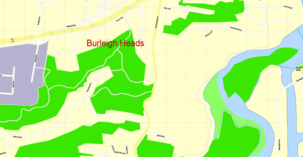
To the west, the city borders a part of the Great Dividing Range commonly referred to as the Gold Coast hinterland. A 206 km2 (80 sq mi) section of the mountain range is protected by Lamington National Park and has been listed as a World Heritage area in recognition of its “outstanding geological features displayed around shield volcanic craters and the high number of rare and threatened rainforest species”. The area attracts bushwalkers and day-trippers. Important rainforest pollinating and seed-dispersing Black flying foxes (pteropus alecto) are found in the area and may be heard foraging at night.

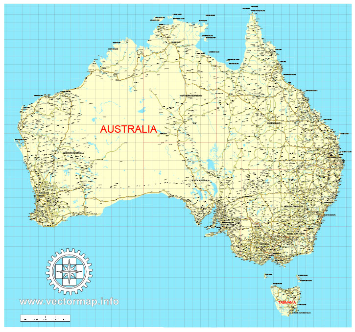
Free download vector map Australia, Adobe Illustrator, download now Free maps vector clipart >>>>>
Map for design, projects, presentation free to use as you like.
Share it!
Small guide: How to work with the vector map?
You can: Mass select objects by type and color – for example, the objects type “building” (they are usually dark gray) – and remove them from the map, if you do not need them in your print or design project. You can also easily change the thickness of lines (streets), just bulk selection the road by the line color.
The streets are separated by type, for example, type “residential road” are usually white with a gray stroke. Highway usually orange with a brown or dark gray stroke.
It is easy to change the font of inscriptions, all or each individually. Also, just can be make and any other manipulation of objects on the vector map in Adobe illustrator format.
Important: All the proportions on the map are true, that is, the relative sizes of the objects are true, because Map is based on an accurate GPS projection, and It transated into the (usual for all) the Mercator projection.
You can easily change the color, stroke and fill of any object on the map, zoom without loss of quality Image Verification.
Select object

Bulk selection the same objects on the vector map

See the bulk selected objects on the vector map

Bulk delete buildungs from the vector map

Select residencial road (small street) on the vector map

Bulk selection the same lines (streets, roads) on the full map

Create fat lines of the streets on the vector maps (bulk action) 1

Create fat lines of the streets on the vector maps (bulk action) 2

Create fat lines of the streets on the vector maps (bulk action) 3

You can easily change the color, stroke and fill of any object on the map, zoom without loss of quality Image Verification.

 Author: Kirill Shrayber, Ph.D. FRGS