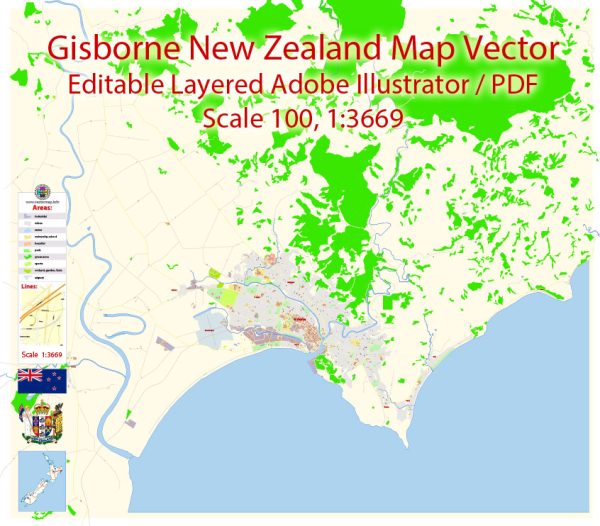
Extended Description of the Vector Map
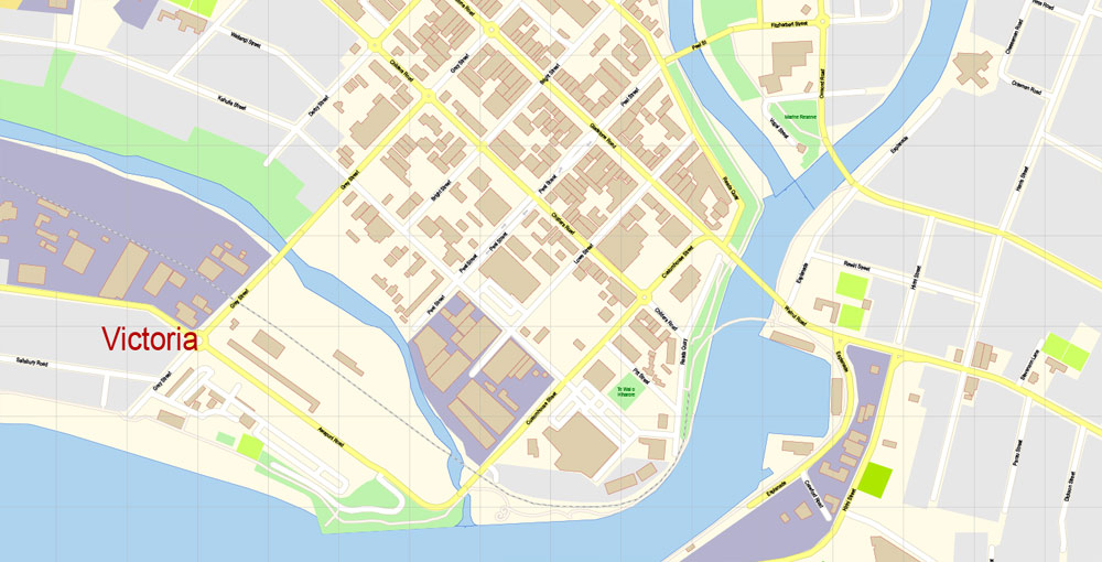
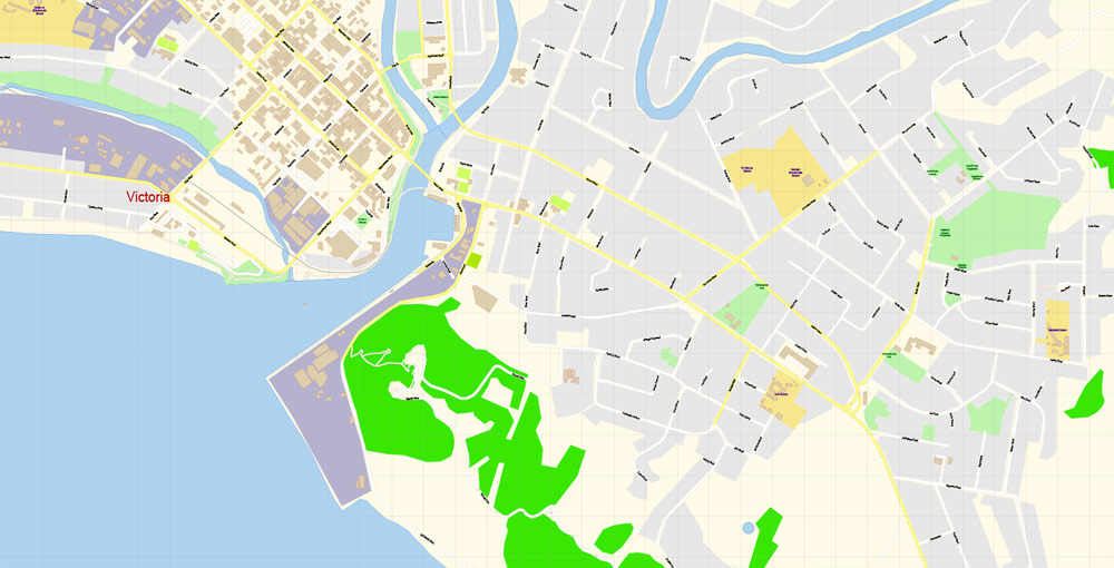
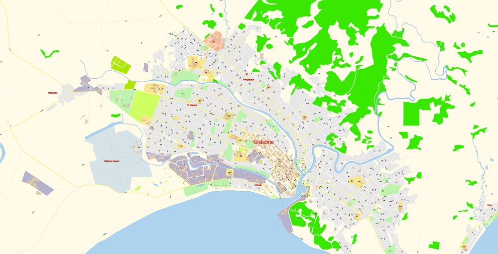
Printable Vector Map of Gisborne New Zealand detailed City Plan scale 100 m 1:3669 full editable Adobe Illustrator Street Map in layers, scalable, text format all names, 3 MB ZIP
All street names, Main Objects, Buildings. Map for design, printing, arts, projects, presentations, for architects, designers, and builders, business, logistics.
Layers: color_fills, water, streets_roads, labels_roads, names_objects, names_streets, names_places, arrows_streets, buildings, grids, legend, etc.
The most exact and detailed map of the city in scale.
For Editing and High-Quality Printing
Gisborne
City in the North Island, New Zealand
Gisborne is a city on the east coast of New Zealand’s North Island. It’s known for wineries and surf beaches such as Makorori. The Tairawhiti Museum has exhibits on indigenous and colonial history, with Wyllie Cottage, an early European house, and Maori artifacts. Titirangi Reserve has lookouts and a monument to explorer James Cook. Nearby, Te Poho-o-Rawiri is a Maori meeting house with carvings of ancestral figures.
Population: 37,200
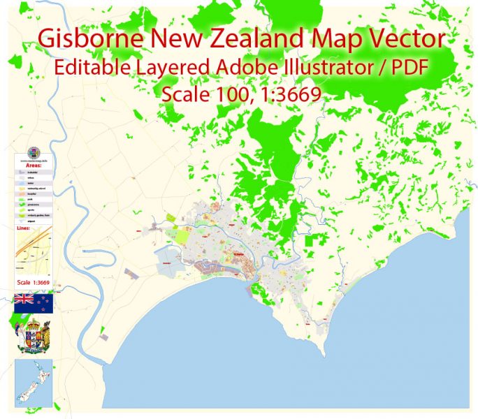
Gisborne New Zealand Map Vector Exact City Plan detailed Street Map editable Adobe Illustrator in layers
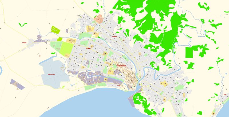
Gisborne New Zealand Map Vector Exact City Plan detailed Street Map editable Adobe Illustrator in layers
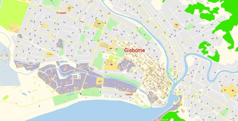
Gisborne New Zealand Map Vector Exact City Plan detailed Street Map editable Adobe Illustrator in layers
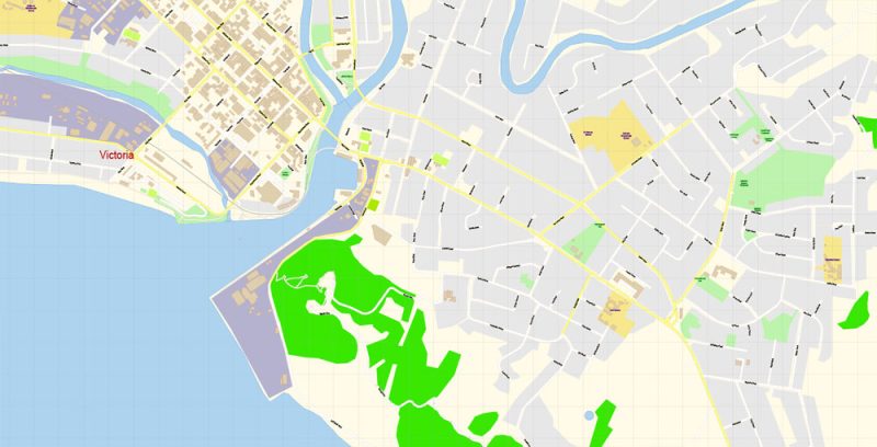
Gisborne New Zealand Map Vector Exact City Plan detailed Street Map editable Adobe Illustrator in layers
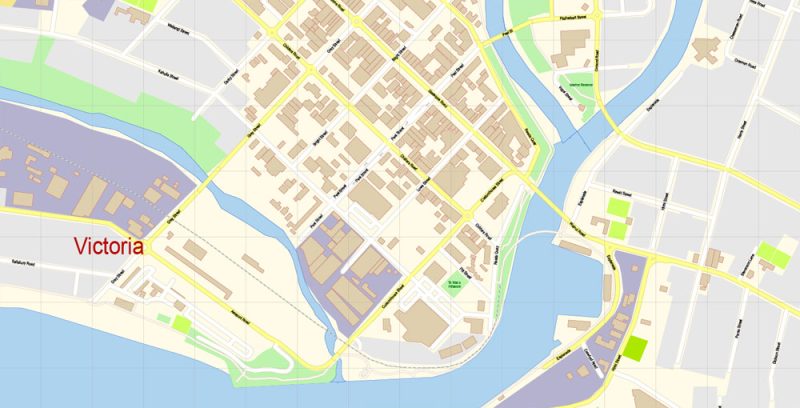
Gisborne New Zealand Map Vector Exact City Plan detailed Street Map editable Adobe Illustrator in layers
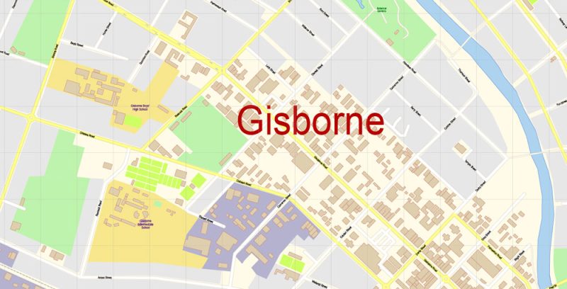
Gisborne New Zealand Map Vector Exact City Plan detailed Street Map editable Adobe Illustrator in layers
Author Rating
Aggregate Rating
no rating based on 0 votes
@vectormapper
Product Name Gisborne New Zealand Map Vector Exact City Plan detailed Street Map editable Adobe Illustrator in layers
Price
USD 23
Product Availability
Available in Stock

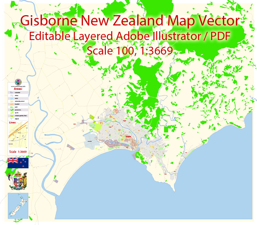




 Author: Kirill Shrayber, Ph.D. FRGS