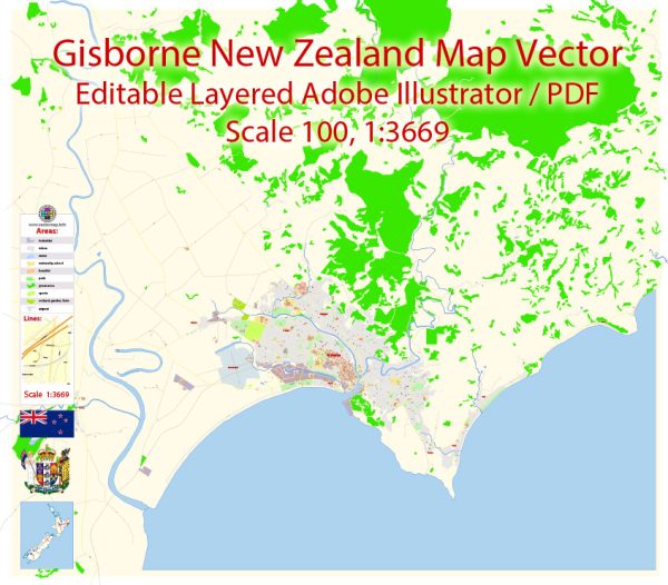
Principal streets and roads in Gisborne, New Zealand, some general information and guidance on how you can find the most up-to-date information.
Gisborne is a city on the east coast of New Zealand’s North Island. Some key streets and roads in Gisborne include:
- Gladstone Road: This is one of the main streets in Gisborne, running along the coastline and offering access to various shops, businesses, and amenities.
- Cobden Street: Another important street in the city, located near the central business district.
- Awapuni Road: Connecting different parts of the city, Awapuni Road is one of the major roads in Gisborne.
- Wainui Road: This road leads to the Wainui Beach area, providing access to the popular beach and surrounding residential areas.
- Ormond Road: Another notable road in Gisborne, connecting various neighborhoods and providing access to local facilities.
To get the most accurate and updated information on Gisborne’s streets and roads, I recommend checking with the local city council, tourism office, or using online maps and navigation services. Google Maps, for example, is a reliable tool that provides detailed information about streets, roads, and locations in Gisborne. You can use it to explore the city’s layout and find directions to specific places.


 Author: Kirill Shrayber, Ph.D.