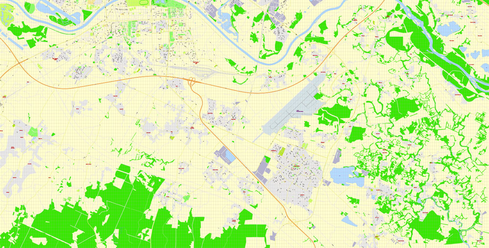
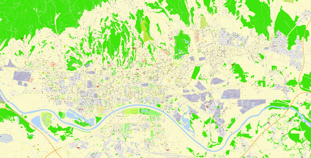
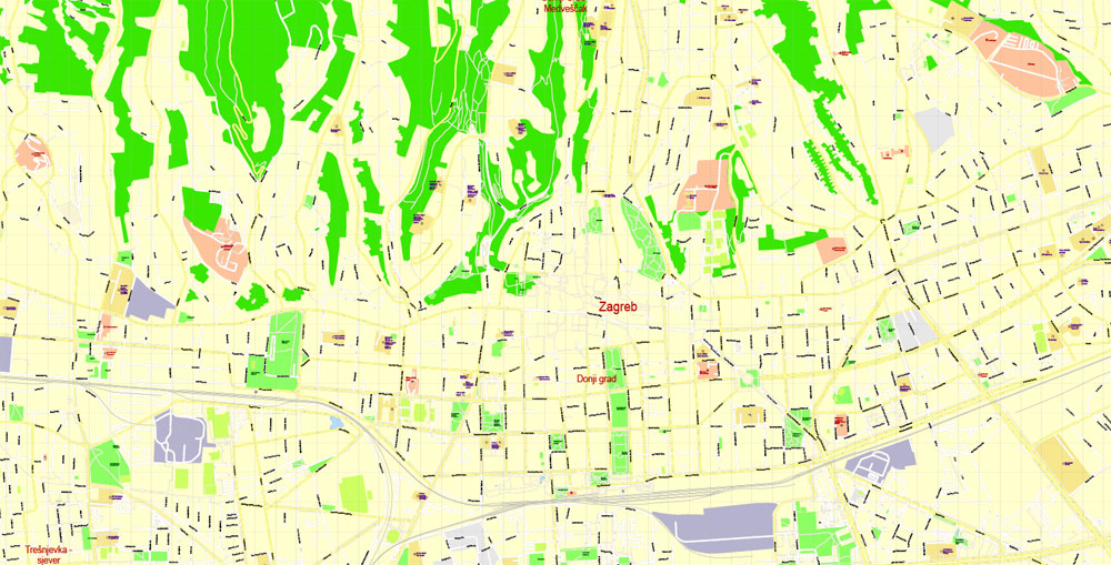
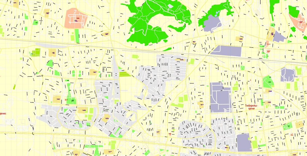
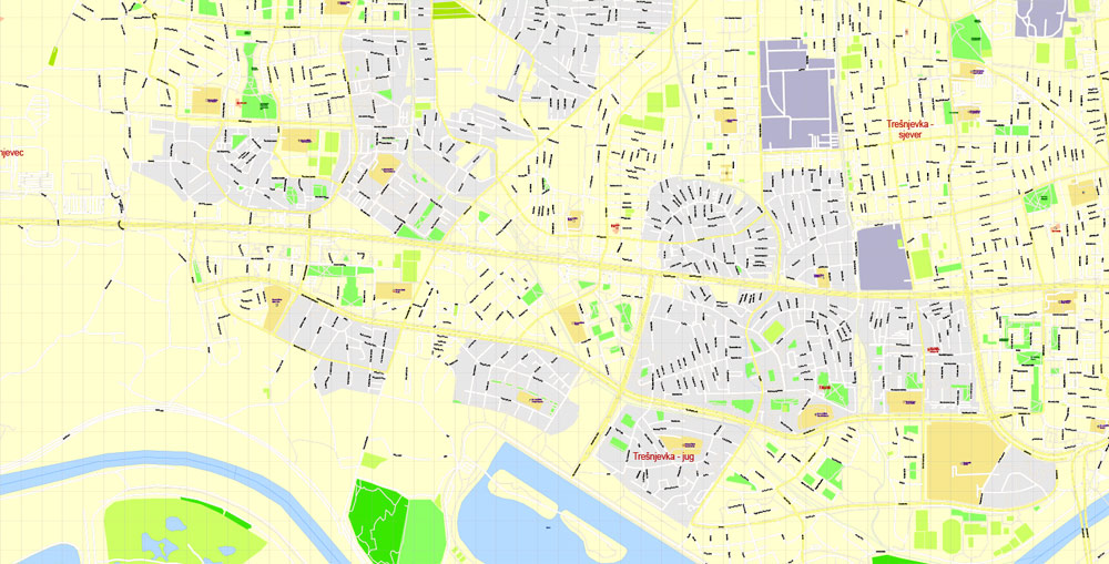
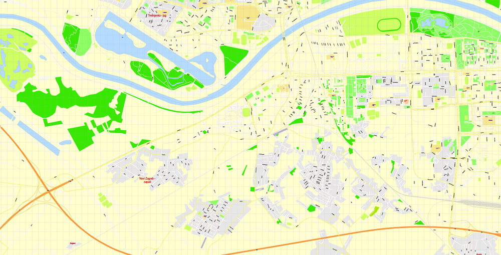
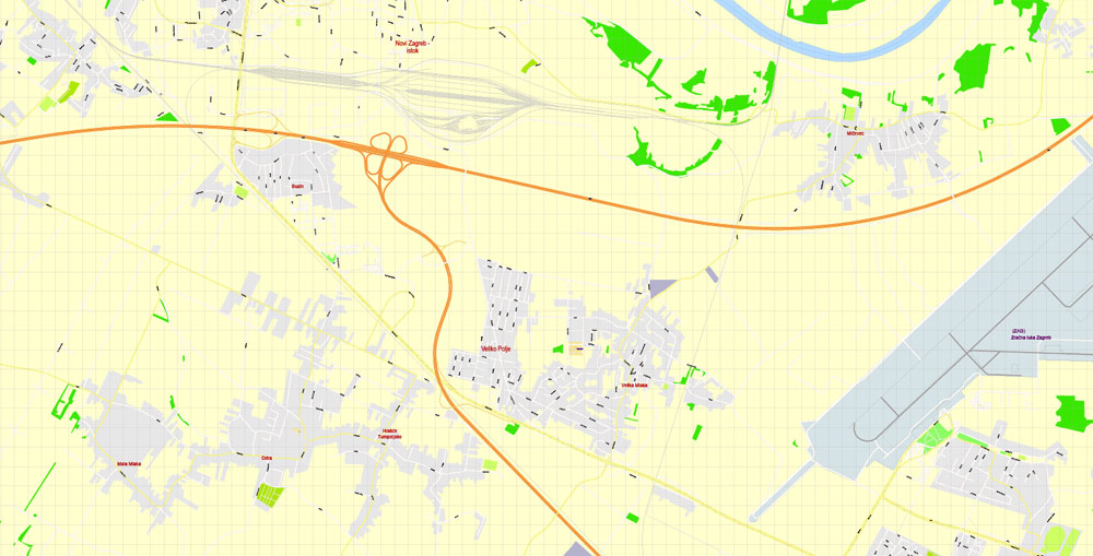
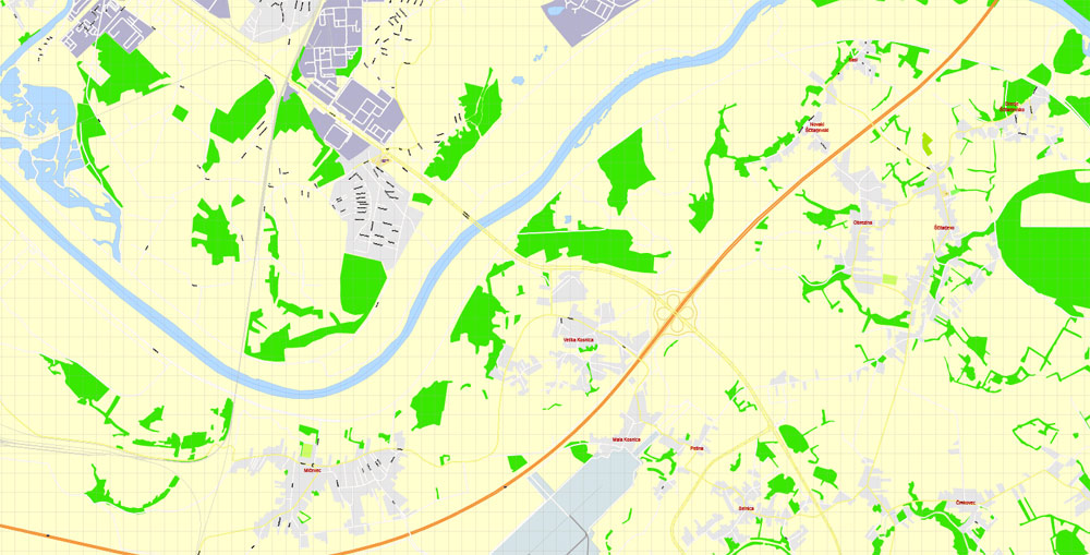
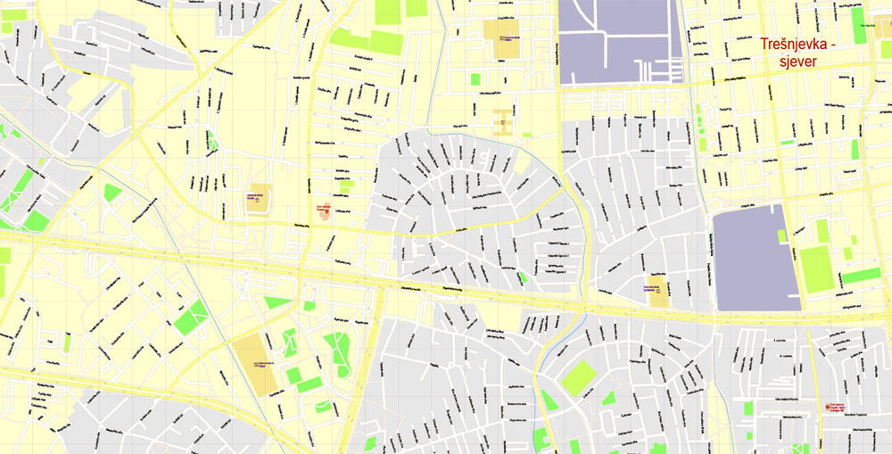
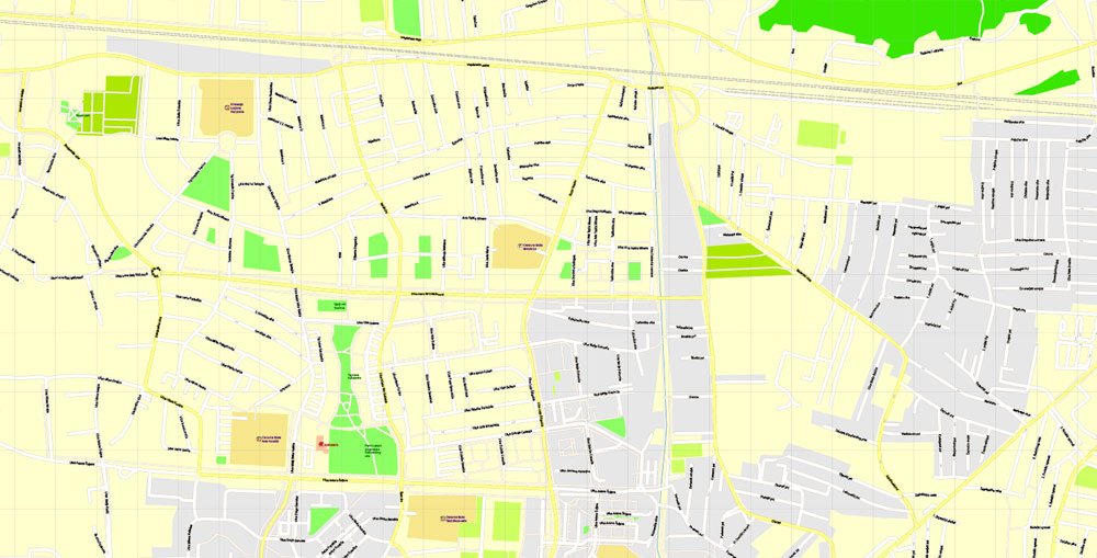
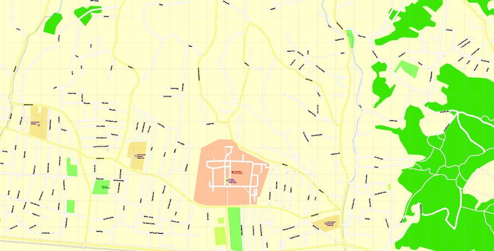
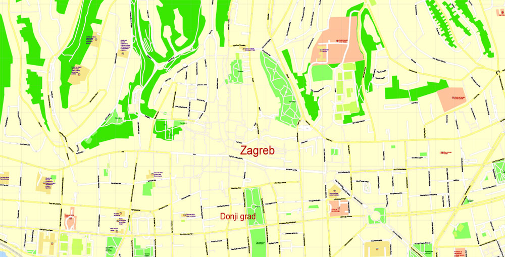
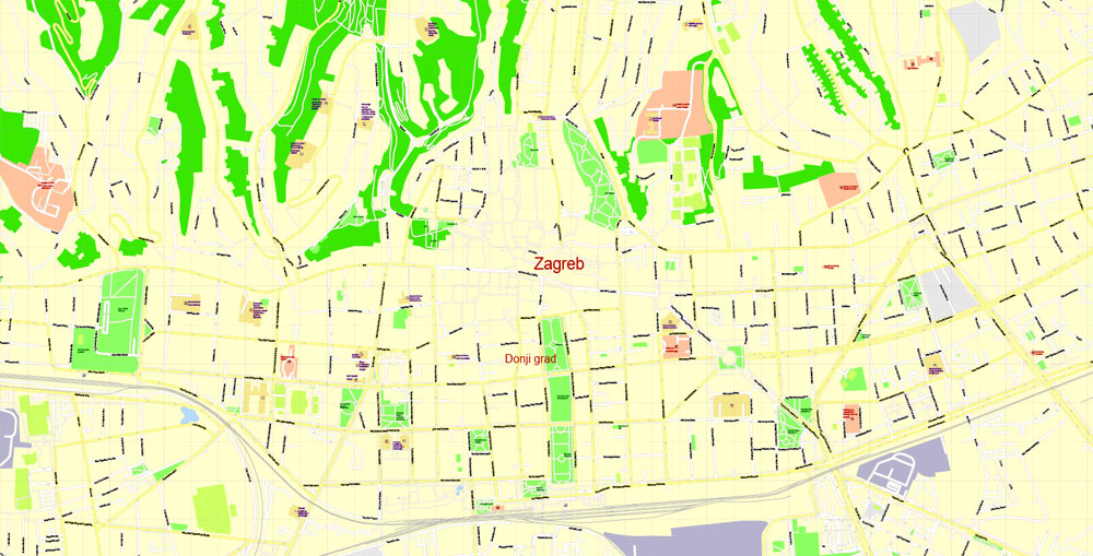
Editable PDF Vector Map Zagreb, Croatia, exact City Plan, street G-View Level 17 (100 meters scale) map, fully editable, Adobe PDF, full vector, scalable, editable text format of street names, 31 Mb ZIP.
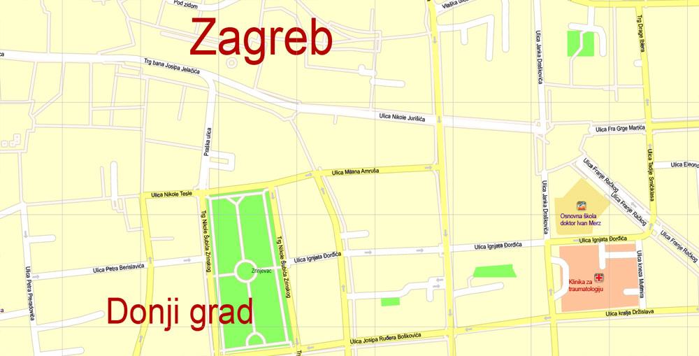
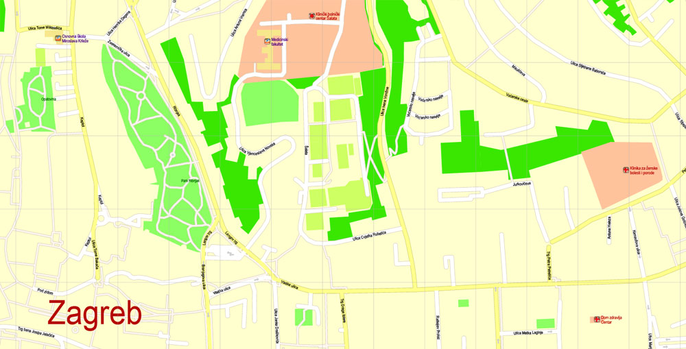
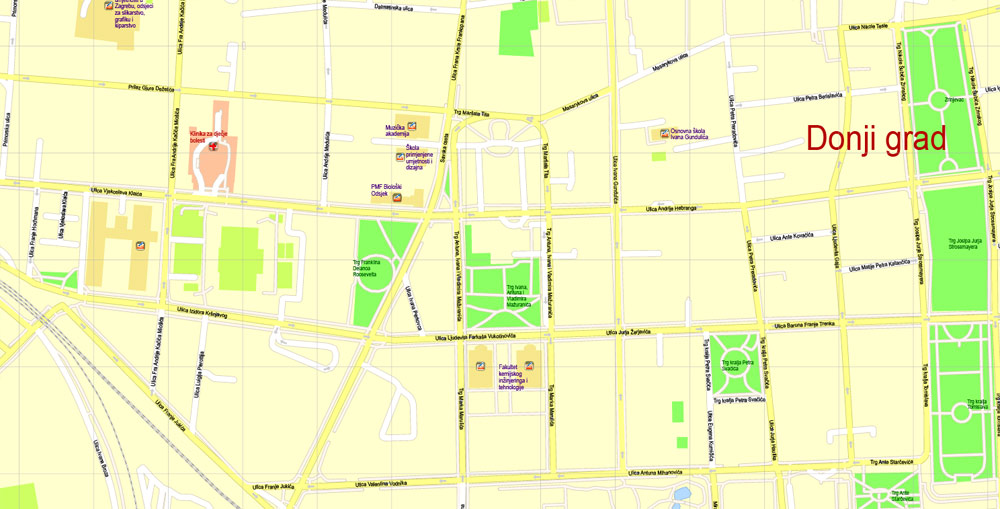
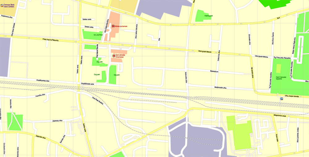
All streets named, main objects. Map for publishing, design, printing, publications, arts, projects, presentations, for architects, designers and builders, business, logistics. The most exact and detailed map of the city.
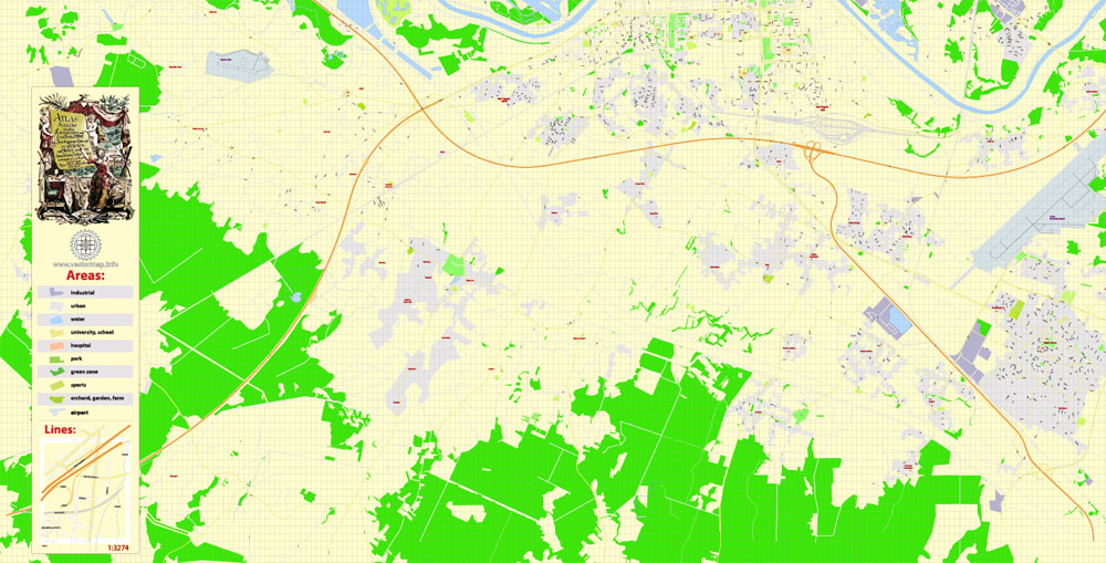
For printing LARGE (WALL) format
Separated layers: streets and roads, color_fills, road_labels, names_places, names_streets, names_objects, street arrows, objects, grids, legend.
You can edit this file by Adobe Illustrator, Adobe Acrobat, Corel Draw.
DWG, DXF, CDR, ESRI Shapes, and other formats – by request, same price, please contact.
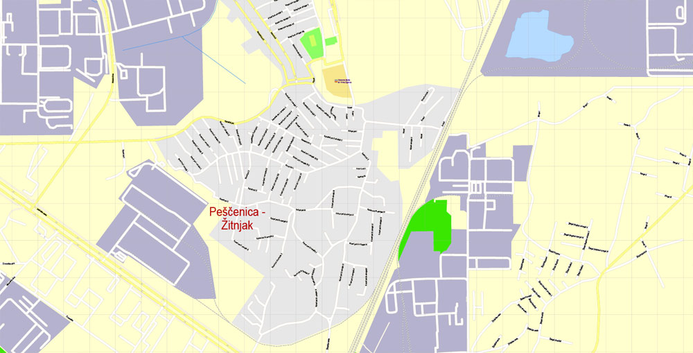
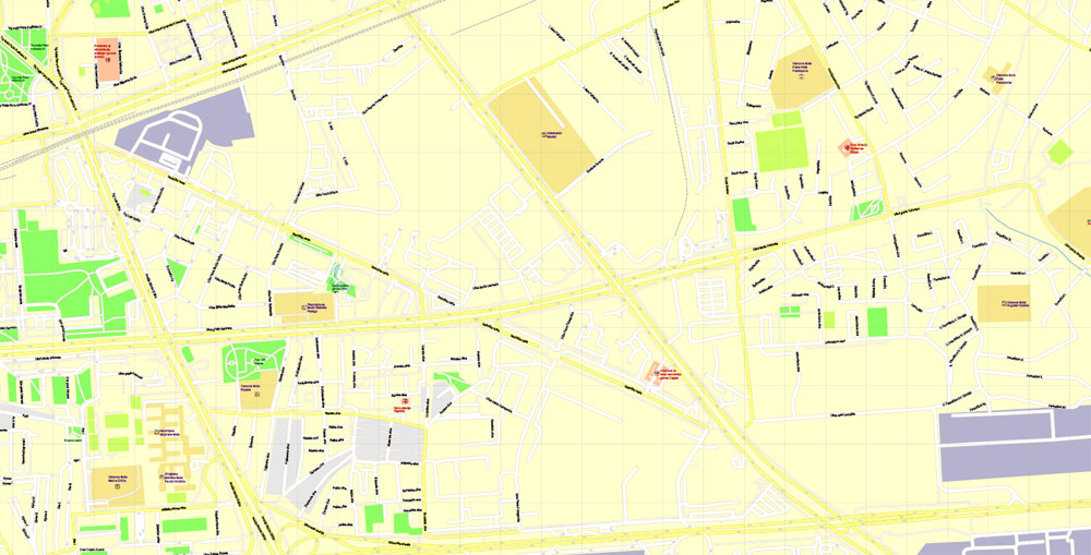
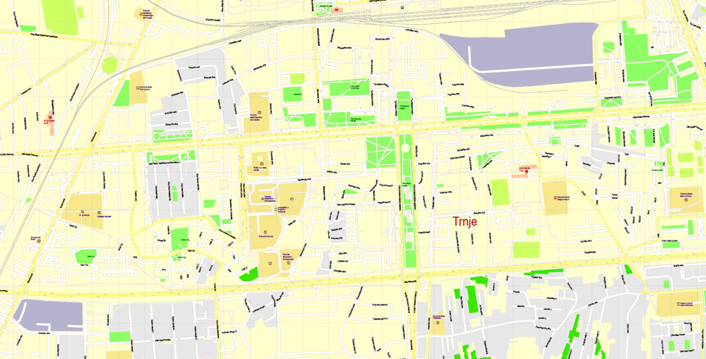
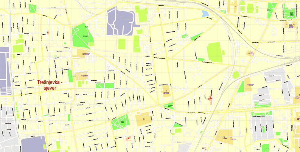
Zagreb, Croatia.
This vector map of Zagreb city is used as a basis for design, editing, and further printing.
This is the most detailed, exact map of Zagreb city for high-quality printing and polygraphy. You can always clarify the map development date by contacting us.
For your convenience, all objects on Zagreb vector city map are divided into layers. And the editing is very easy – colors, lines, etc.
You can easily add any objects needed (e.g. shops, salons, sale points, gas station or attraction) on any layer of Zagreb vector map.
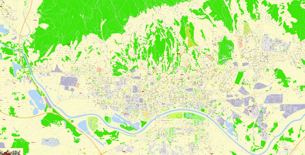
Zagreb is the capital and the largest city of Croatia. It is located in the northwest of the country, along the Sava river, at the southern slopes of the Medvednica mountain. Zagreb lies at an elevation of approximately 122 m (400 ft) above sea level. The estimated population of the city in 2018 is 810,003. The population of the Zagreb urban agglomeration is about 1.1 million, approximately a quarter of the total population of Croatia.

One of the advantages of Zagreb city vector maps of our production is the relevance of cartographic data, we constantly update all our products.
This vector map of Zagreb city is used by:
designers, layout designers, printers, advertisers and architects. Our product – vector maps – is designed for further editing and printing in large formats – from @Wall format (a few meters) to A-0 and A-1, A-2, A-3.
The Zagreb city map in vector format is used for design, urban planning, presentations and media visualizations.
The advertising and presentation map of Zagreb city (usually the final designer marks the routes, and puts the client’s objects (shops, saloons, gas stations etc.)
The undoubted advantage is that people will NEVER throw out this advertising product – the map. In fact, as an advertising medium, a city map is the most “long-playing” of the well-known polygraphic advertising media, with the longest lifespan, and the maximum number of interactions with the customer.
For travelers, maps are sold at the airports and gas stations around the world. Often the source is our vector maps.
Take a look, who purchases our vector maps of Zagreb city in “Our Clients and Friends” page – these are large and small companies, from super-brands like Volvo and Starbucks, to small design studios and printing houses.
It’s very easy to work with vector maps of Zagreb city, even for a not very experienced designer who can turn on and off the map layers, add new objects, change the colors of fill and lines according to customer requirements.
The undoubted advantage of Zagreb city vector maps in printing is an excellent and detailed visualization, when customer can expand a large paper map and instantly define his location, find a landmark, an object or address on map, unlike using the popular electronic formats of Google and Yandex maps for example.
Printable vector maps of Zagreb city are much more convenient and efficient than any electronic maps on your smartphone, because ALL DETAILS are displayed in the entire space of Zagreb city map.
Useful tips on working with vector maps of cities and countries in Adobe Illustrator.
«V» – launches the Selection tool (cursor, black arrow), which makes active any vector line.
«А» – launches the Direct Selection tool (white cursor), allows you to select curve elements and drag them to the desired place.
«R» – activates the Rotate tool, which helps you rotating selected objects around the center point by 360 degrees.
«E» – gives you the opportunity to use the Eraser tool and erase unnecessary parts.
«X» – switches between Fill and Stroke in the Tools section. Try to get used to this hot key and
you will quickly understand that you can’t live and work without it.
Guides are not limited to vertical and horizontal in Adobe Illustrator. You can also create a diagonal guide for example. Moreover, you can turn any contours into guides. Select the outline and go to View > Guides > Make Guides (Create Guides), or simply press Cmd/Ctrl + 5. You can also turn the guides back into an editable object. Go to menu, View > Guides > Unlock Guides (Release Guides), select the guide you want to edit and select View > Guides > Release Guides (Reset Guides), or just press Cmd/Ctrl + Option / Alt + 5).
Zagreb is a city with a rich history dating from the Roman times to the present day. The oldest settlement located in the vicinity of the city was the Roman Andautonia, in today’s Ščitarjevo. The name “Zagreb” is recorded in 1134, in reference to the foundation of the settlement at Kaptol in 1094. Zagreb became a free royal town in 1242. In 1851 Zagreb had its first mayor, Janko Kamauf.
You will probably want to change the color scheme used on our Zagreb vector city map.
To quickly and effectively play with colors.
Of course, you can do it manually, all objects in our Zagreb city vector map are divided according to types and layers, and you can easily change the color gamma of vector objects in groups and layers.
But there is more effective way of working with the whole VECTOR MAP of Zagreb city and all layers:
The overview dialog «Edit colors»/«Repaint Graphic Object» (this dialog box name can change depending on the context):
If you have selected a part or a layer of Zagreb city vector map and open the dialog box by clicking the icon in the Control panel, on the Samples palette or the Color Catalog, or if you choose Edit > Edit Colors> Repaint Graphic Object, then the «Repaint Graphic Object» dialog box appears, and you get access to «Assign» and «Edit» tabs.
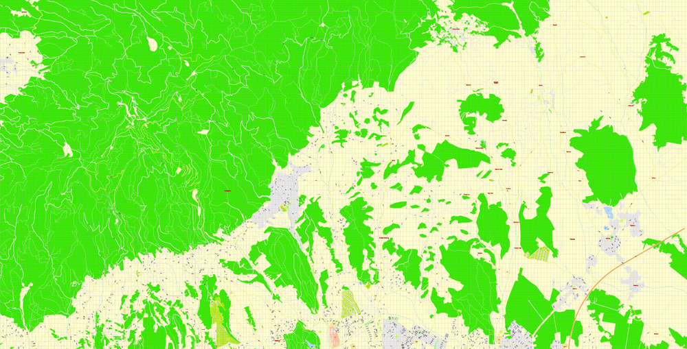
Zagreb has special status as a Croatian administrative division and is a consolidated city-county (but separated from Zagreb County), and is administratively subdivided into 17 city districts. Most of them are at a low elevation along the river Sava valley, whereas northern and northeastern city districts, such as Podsljeme and Sesvete districts are situated in the foothills of the Medvednica mountain, making the city’s geographical image rather diverse. The city extends over 30 kilometres (19 miles) east-west and around 20 kilometres (12 miles) north-south.
If a picture or a map fragment is not selected, and you open the dialog box by clicking the icon in the Control panel, on the Samples palette or in the Color Catalog, the «Edit Colors» dialog box appears and you can only access the «Edit» tab.
Regardless of the name at the top of the dialog box, the right-hand side always displays the color group of the current document, as well as two default color groups: Print Color and Grayscale. These color groups can be selected and used any time.
Create and edit color groups of Zagreb city vector map, and also assign colors using the «Edit Colors»/ а «Repaint Graphic Object» dialog box.
A. Creating and editing of a color group on the «Edit» tab
B. Assigning colors on the «Assign» tab
C. Select a group of colors from the «Color groups» list
The option «Repaint a graphic object» in the lower part of the dialog box allows you to preview the colors on a selected layer of Vector map, or a group of elements, and specify whether its colors will be redefined when the dialog box is closed.
The transport connections, concentration of industry, scientific, and research institutions and industrial tradition underlie its leading economic position in Croatia. Zagreb is the seat of the central government, administrative bodies, and almost all government ministries. Almost all of the largest Croatian companies, media, and scientific institutions have their headquarters in the city. Zagreb is the most important transport hub in Croatia where Central Europe, the Mediterranean and Southeast Europe meet, making the Zagreb area the centre of the road, rail and air networks of Croatia. It is a city known for its diverse economy, high quality of living, museums, sporting, and entertainment events. Its main branches of economy are high-tech industries and the service sector.
The main areas of the dialog box are:
«Edit»
The «Edit» tab is designed to create a new or edit the existing color groups.
The harmony rules Menu and the Color Wheel are used to conduct experiments with color harmonies. The color wheel shows how colors are related in color harmony, and the color bars allow you to view and manipulate an individual color values. In addition, you can adjust the brightness, add and remove colors, save color groups and view colors on the selected Vector Map of Zagreb city or a separated layers.
«Assign»
The «Assign» tab is used to view and control on how the original colors are replaced with colors from the color group like your corporate colors in the Vector Map of Zagreb city.
The assign color ability is provided only if the entire map, layer or fragment is selected in the document. You can specify which of new colors replace the current colors, whether the spot colors should be preserved and how colors are replaced (for example, you can replace colors completely or changing the color tone while maintaining the brightness). The «Assign» tab allows you to redefine colors in the Vector Map of Zagreb city, or in separate layers and fragments using the current color group or reducing the number of colors in the current Vector Map.
Color groups
Is a list of all saved color groups for current document (the same groups appear in the «Samples» palette). You can edit and delete the existing color groups, as well as creating a new ones using the list of “Color Groups” in the dialog box. All changes appear in the «Samples» palette.
The highlighted color group shows, which color group is currently edited.
Any color group can be selected and edited, or used to redefine the colors in the selected vector map of Zagreb city, its fragments or elements.
Surroundings
The wider Zagreb area has been continuously inhabited since the prehistoric period, as witnessed by archaeological findings in the Veternica cave from the Paleolithic and excavation of the remains of the Roman Andautonia near the present village of Šćitarjevo.
Saving a color group adds this group to the specified list.
Opening the «Edit Colors»/«Repaint Graphic Object» dialog box.
Open the «Edit Colors»/«Repaint Graphic Object» dialog box using one of the following methods:
«Edit»> «Edit Colors»> «Repaint Graphic object» or «Repaint With Style».
Use these commands if you need to edit the colors in the selected vector map of Zagreb city.
«Repaint Graphic object» button on the «Control» panel.
Use this button if you need to adjust colors of Zagreb city vector map using the а «Repaint graphic object» dialog box.
The specified button is available if the selected vector map or its fragment contains two or more colors.
Note. This color editing method is convenient for global color adjustment in a vector map, if global colors were not used when creating a City Map of Zagreb.
The «Edit colors» button or «Edit or apply colors» on the «Color Catalog» palette
Click this button if you need to edit colors on the «Color Catalog» palette or edit and then apply them to the selected Vector Map of Zagreb city or its fragment.
The «Edit color group» button or «Edit or apply color group» on the «Samples» palette.
Click this button if you need to edit the colors in the specific color group or edit and apply them to the selected Vector Map of Zagreb city or a group of its elements, for example, the whole layer “Streets and lines”. You can also double-click the color group in the Samples panel to open the dialog box.
If the map file is too large and your computer freezes or even can’t open it quickly:
1. Try to reduce the color resolution of the video card (display) to 256 colors while working with a large map.
2. Using Windows Task Manager, select all the application you don’t need, while working with map, just turn them off.
3. Launch Adobe Illustrator. (DO NOT OPEN the vector map file)
4. Start the Windows Task Manager using administrator rights > Find the “Illustrator” process > set the «real time» priority,
5. Open the file. When you see the LEGACY FONT popup window – click “OK” (do not update). You can restore the TEXT later.
6. Can also be useful: When file is opened – Edit > Settings > Basic Settings > disable smoothing. /// It looks scary, but works quickly)))
We recommend saving the file in Adobe Illustrator 10 version. It’s much more stable when working with VERY BIG size files.
Picturesque former villages on the slopes of Medvednica, Šestine, Gračani and Remete, maintain their rich traditions, including folk costumes, Šestine umbrellas, and gingerbread products.
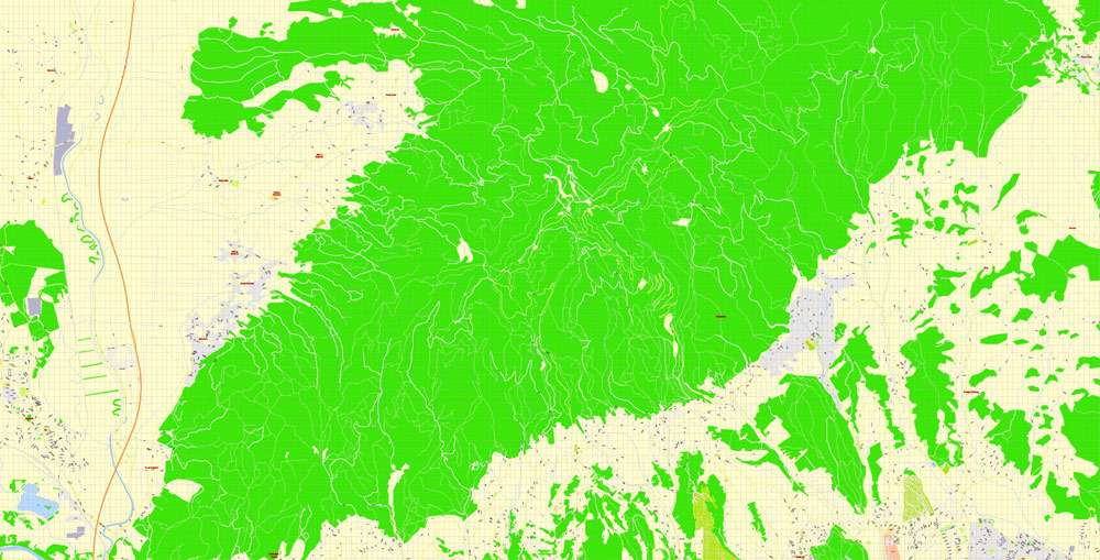
To the north is the Medvednica Mountain (Croatian: Zagrebačka gora), with its highest peak Sljeme (1,035 m), where one of the tallest structures in Croatia, Zagreb TV Tower is located. The Sava and the Kupa valleys are to the south of Zagreb, and the region of Hrvatsko Zagorje is located on the other (northern) side of the Medvednica hill. In mid-January 2005, Sljeme held its first World Ski Championship tournament.
From the summit, weather permitting, the vista reaches as far as Velebit Range along Croatia’s rocky northern coast, as well as the snow-capped peaks of the towering Julian Alps in neighbouring Slovenia. There are several lodging villages, offering accommodation and restaurants for hikers. Skiers visit Sljeme, which has four ski-runs, three ski-lifts and a chairlift.
The old Medvedgrad, a recently restored medieval burg was built in the 13th century on Medvednica hill. It overlooks the western part of the city and also hosts the Shrine of the Homeland, a memorial with an eternal flame, where Croatia pays reverence to all its heroes fallen for homeland in its history, customarily on national holidays. The ruined medieval fortress Susedgrad is located on far-western side of Medvednica hill. It has been abandoned since the early 17th century, but it is visited during the year.
Zagreb occasionally experiences earthquakes, due to the proximity of Žumberak-Medvednica fault zone. It’s classified as an area of high seismic activity. The area around Medvednica was the epicentre of the 1880 Zagreb earthquake (magnitude 6.3), and the area is known for occasional landslide threatening houses in the area. The proximity of strong seismic sources presents a real danger of strong earthquakes. Croatian Chief of Office of Emergency Management Pavle Kalinić stated Zagreb experiences around 400 earthquakes a year, most of them being imperceptible. However, in case of a strong earthquake, it’s expected that 3,000 people would die and up to 15,000 would be wounded.

Zagreb
Capital of Croatia
Zagreb, Croatia’s northwestern capital, is distinguished by its 18th- and 19th-century Austro-Hungarian architecture. At its center, Upper Town is the site of the Gothic, twin-spired Zagreb Cathedral and 13th-century St. Mark’s Church, with a colorfully tiled roof. Nearby is pedestrian-friendly Tkalčićeva Street, lined with outdoor cafes. Lower Town has the main square, Ban Jelačić, plus shops, museums and parks.
Area
• City 641 km2 (247 sq mi)
• Urban 162.2 km2 (62.6 sq mi)
• Metro 3,719 km2 (1,436 sq mi)
Elevation 158 m (518 ft)
Highest elevation 1,035 m (3,396 ft)
Lowest elevation 122 m (400 ft)
Population
• City 792,875
• Estimate (2017)[6] 806,920
• Density 1,200/km2 (3,200/sq mi)
• Urban 688,163
• Urban density 4,200/km2 (11,000/sq mi)
• Metro 1,113,111
• Metro density 300/km2 (780/sq mi)
Free vector maps:

Free download printable map Europe vector Adobe Illustrator >>>
Free download printable PDF map Europe vector Adobe PDF >>>
Small guide: How to work with the vector map?
You can: Mass select objects by type and color – for example, the objects type “building” (they are usually dark gray) – and remove them from the map, if you do not need them in your print or design project. You can also easily change the thickness of lines (streets), just bulk selection the road by the line color.
The streets are separated by type, for example, type “residential road” are usually white with a gray stroke. Highway usually orange with a brown or dark gray stroke.
It is easy to change the font of inscriptions, all or each individually. Also, just can be make and any other manipulation of objects on the vector map in Adobe illustrator format.
Important: All the proportions on the map are true, that is, the relative sizes of the objects are true, because Map is based on an accurate GPS projection, and It transated into the (usual for all) the Mercator projection.
You can easily change the color, stroke and fill of any object on the map, zoom without loss of quality Image Verification.
Select object

Bulk selection the same objects on the vector map

See the bulk selected objects on the vector map

Bulk delete buildungs from the vector map

Select residencial road (small street) on the vector map

Bulk selection the same lines (streets, roads) on the full map

Create fat lines of the streets on the vector maps (bulk action) 1

Create fat lines of the streets on the vector maps (bulk action) 2

Create fat lines of the streets on the vector maps (bulk action) 3

You can easily change the color, stroke and fill of any object on the map, zoom without loss of quality Image Verification.

 Author: Kirill Shrayber, Ph.D. FRGS
 map, fully editable, Adobe Illustrator")