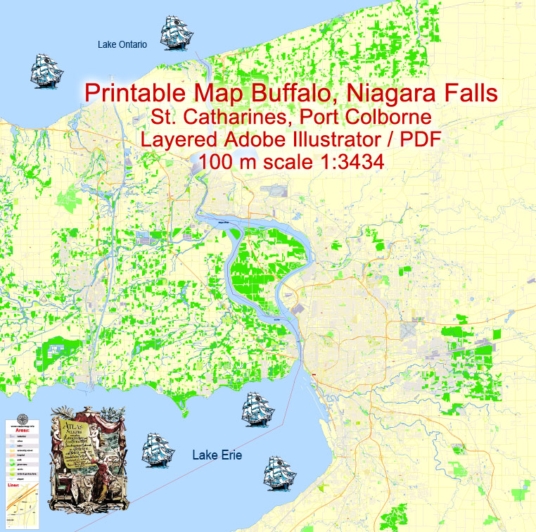
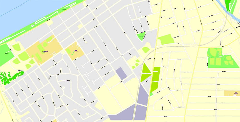
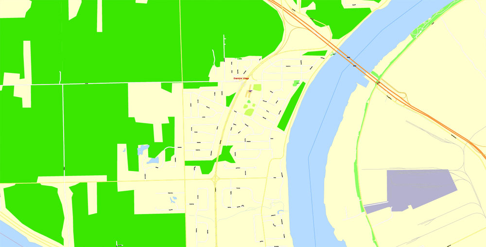
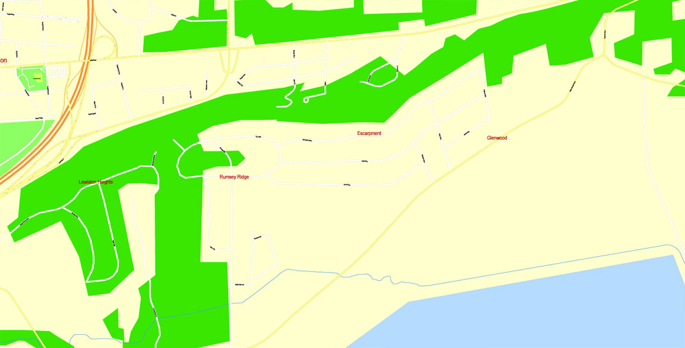
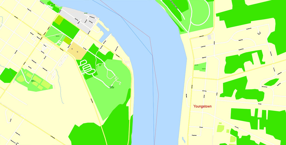
Editable PDF Map Buffalo + Niagara Falls + St. Catharines , US and CA, exact vector Map street G-View City Plan Level 17 (100 meters scale), full editable, Adobe PDF, full vector, scalable, editable text format street names, 49 mb ZIP
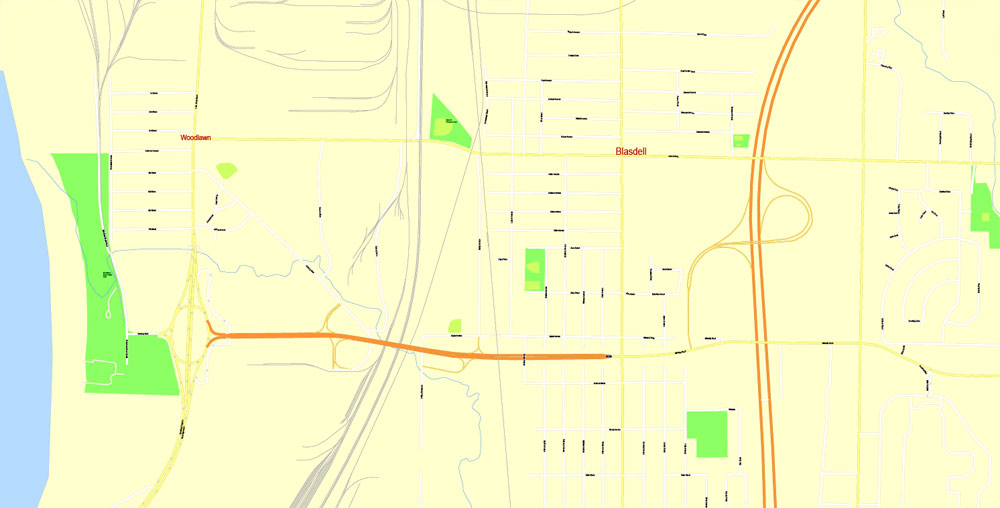
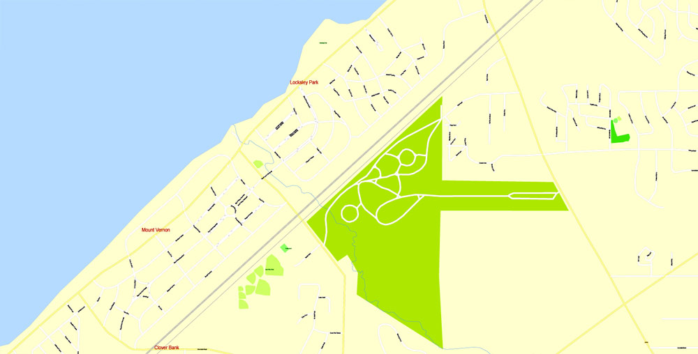
All streets named, Main Objects, NO buildings. Map for design, printing, arts, projects, presentations, for architects, designers and builders, business, logistics.
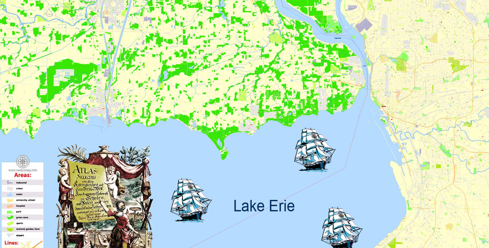
Layers: color fills, streets_roads, arrows_streets, labels_roads, objects, names objects, names_streets, names_places, grids, legend.
The most exact and detailed map of the city.
You can edit this file by Adobe Illustrator, Adobe Acrobat, Corel Draw.
For print LARGE (WALL) format.
DWG, DXF, CDR and other formats – on request, same price, please, contact
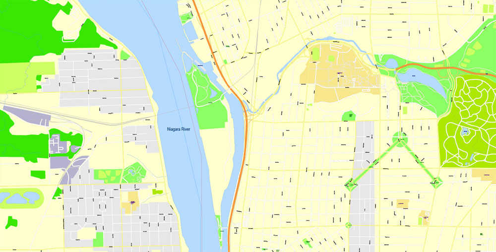
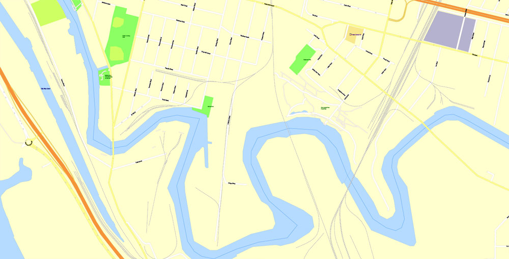
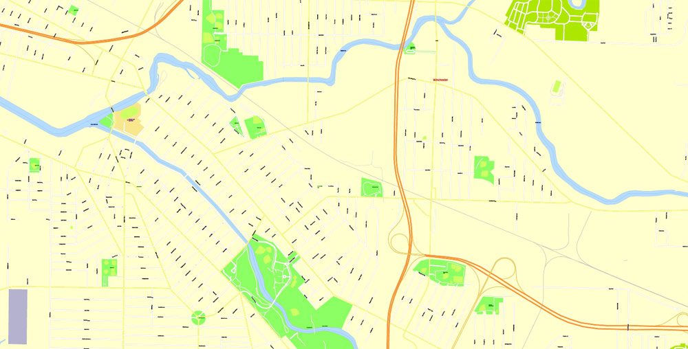
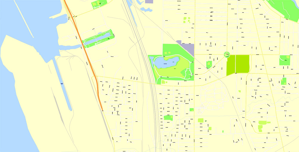
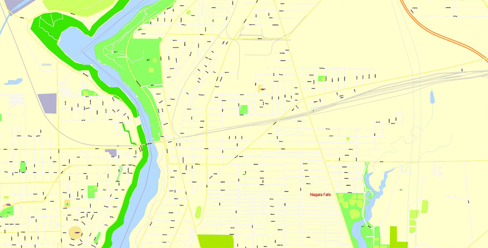
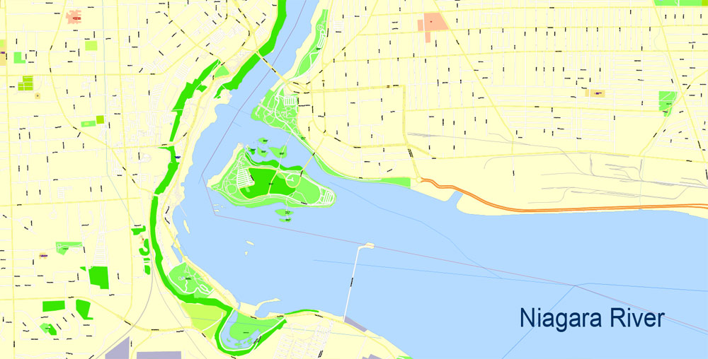
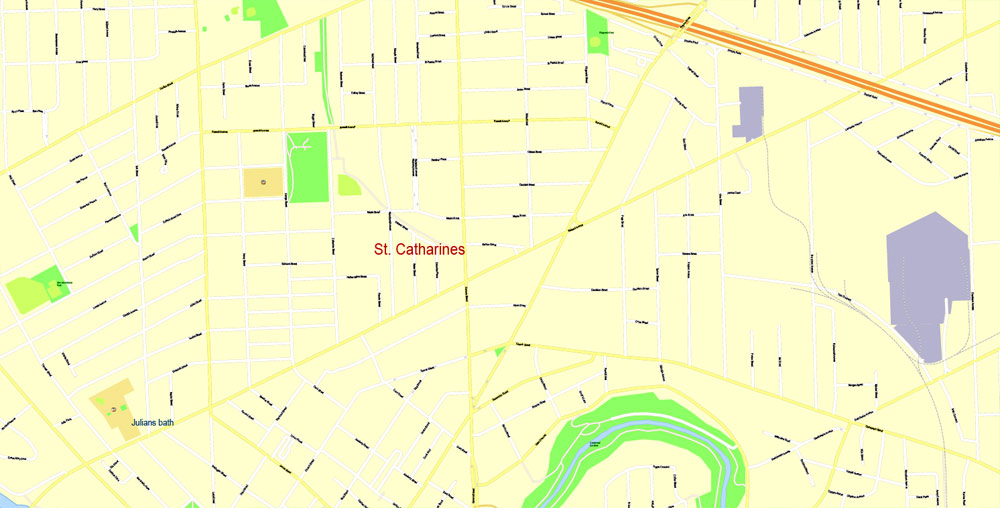
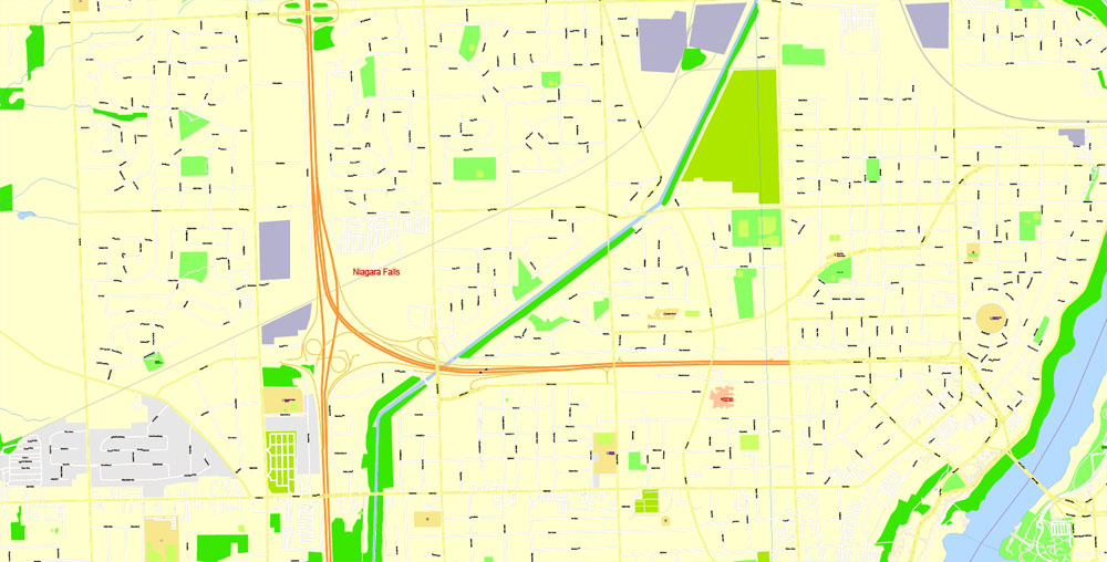
Buffalo + Niagara Falls + St. Catharines, USA and Canada.
This vector map of Buffalo city is used as a basis for design, editing, and further printing.
This is the most detailed, exact map of Buffalo city for high-quality printing and polygraphy. You can always clarify the map development date by contacting us.
For your convenience, all objects on Buffalo vector city map are divided into layers. And the editing is very easy – colors, lines, etc.
You can easily add any objects needed (e.g. shops, salons, sale points, gas station or attraction) on any layer of Buffalo vector map.
Buffalo is the second largest city in the U.S. state of New York and the largest city in Western New York. As of July 2016, the population was 256,902. The city is the county seat of Erie County, and a major gateway for commerce and travel across the Canada–United States border, forming part of the bi-national Buffalo Niagara Region.
One of the advantages of Buffalo city vector maps of our production is the relevance of cartographic data, we constantly update all our products.
This vector map of Buffalo city is used by:
designers, layout designers, printers, advertisers and architects. Our product – vector maps – is designed for further editing and printing in large formats – from @Wall format (a few meters) to A-0 and A-1, A-2, A-3.
The Buffalo city map in vector format is used for design, urban planning, presentations and media visualizations.
The advertising and presentation map of Buffalo city (usually the final designer marks the routes, and puts the client’s objects (shops, saloons, gas stations etc.)
The undoubted advantage is that people will NEVER throw out this advertising product – the map. In fact, as an advertising medium, a city map is the most “long-playing” of the well-known polygraphic advertising media, with the longest lifespan, and the maximum number of interactions with the customer.
For travelers, maps are sold at the airports and gas stations around the world. Often the source is our vector maps.
The Buffalo area was inhabited before the 17th century by the Native American Iroquois tribe and later by French settlers. The city grew significantly in the 19th and 20th centuries as a result of immigration, the construction of the Erie Canal and rail transportation, and its close proximity to Lake Erie. This growth provided an abundance of fresh water and an ample trade route to the Midwestern United States while grooming its economy for the grain, steel and automobile industries that dominated the city’s economy in the 20th century. Since the city’s economy relied heavily on manufacturing, deindustrialization in the latter half of the 20th century led to a steady decline in population. While some manufacturing activity remains, Buffalo’s economy has transitioned to service industries with a greater emphasis on healthcare, research and higher education, which emerged following the Great Recession.
Take a look, who purchases our vector maps of Buffalo city in “Our Clients and Friends” page – these are large and small companies, from super-brands like Volvo and Starbucks, to small design studios and printing houses.
It’s very easy to work with vector maps of Buffalo city, even for a not very experienced designer who can turn on and off the map layers, add new objects, change the colors of fill and lines according to customer requirements.
The undoubted advantage of Buffalo city vector maps in printing is an excellent and detailed visualization, when customer can expand a large paper map and instantly define his location, find a landmark, an object or address on map, unlike using the popular electronic formats of Google and Yandex maps for example.
Printable vector maps of Buffalo city are much more convenient and efficient than any electronic maps on your smartphone, because ALL DETAILS are displayed in the entire space of Buffalo city map.
Useful tips on working with vector maps of cities and countries in Adobe Illustrator.
«V» – launches the Selection tool (cursor, black arrow), which makes active any vector line.
«А» – launches the Direct Selection tool (white cursor), allows you to select curve elements and drag them to the desired place.
«R» – activates the Rotate tool, which helps you rotating selected objects around the center point by 360 degrees.
«E» – gives you the opportunity to use the Eraser tool and erase unnecessary parts.
«X» – switches between Fill and Stroke in the Tools section. Try to get used to this hot key and
you will quickly understand that you can’t live and work without it.
Guides are not limited to vertical and horizontal in Adobe Illustrator. You can also create a diagonal guide for example. Moreover, you can turn any contours into guides. Select the outline and go to View > Guides > Make Guides (Create Guides), or simply press Cmd/Ctrl + 5. You can also turn the guides back into an editable object. Go to menu, View > Guides > Unlock Guides (Release Guides), select the guide you want to edit and select View > Guides > Release Guides (Reset Guides), or just press Cmd/Ctrl + Option / Alt + 5).
You will probably want to change the color scheme used on our Buffalo vector city map.
To quickly and effectively play with colors.
Of course, you can do it manually, all objects in our Buffalo city vector map are divided according to types and layers, and you can easily change the color gamma of vector objects in groups and layers.
But there is more effective way of working with the whole VECTOR MAP of Buffalo city and all layers:
The overview dialog «Edit colors»/«Repaint Graphic Object» (this dialog box name can change depending on the context):
If you have selected a part or a layer of Buffalo city vector map and open the dialog box by clicking the icon in the Control panel, on the Samples palette or the Color Catalog, or if you choose Edit > Edit Colors> Repaint Graphic Object, then the «Repaint Graphic Object» dialog box appears, and you get access to «Assign» and «Edit» tabs.
If a picture or a map fragment is not selected, and you open the dialog box by clicking the icon in the Control panel, on the Samples palette or in the Color Catalog, the «Edit Colors» dialog box appears and you can only access the «Edit» tab.
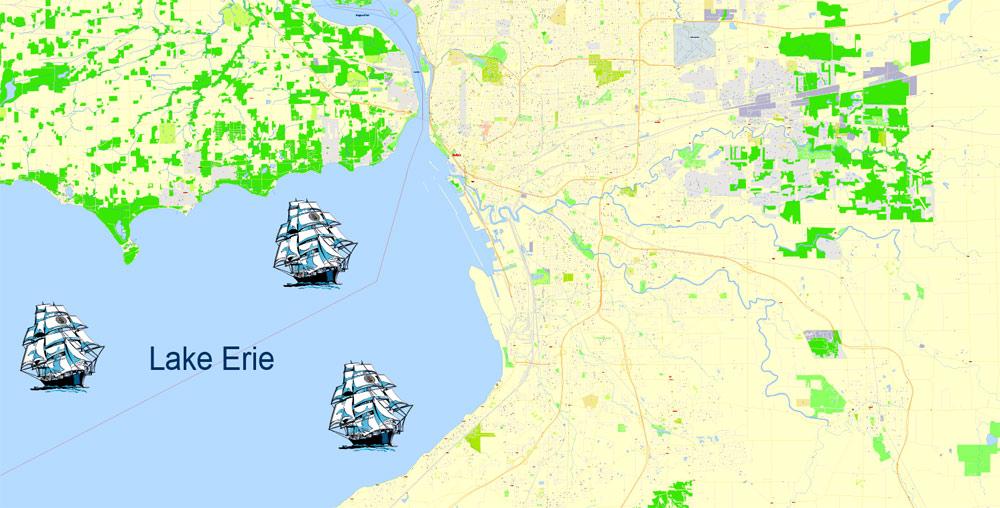
Buffalo is on the eastern shore of Lake Erie, at the head of the Niagara River, 16 miles south of Niagara Falls. Its early embrace of electric power led to the nickname “The City of Light”. The city is also famous for its urban planning and layout by Joseph Ellicott, an extensive system of parks designed by Frederick Law Olmsted, as well as significant architectural works. Its culture blends Northeastern and Midwestern traditions, with annual festivals including Taste of Buffalo and Allentown Art Festival, two professional sports teams (Buffalo Bills and Buffalo Sabres), and a music and arts scene.
Regardless of the name at the top of the dialog box, the right-hand side always displays the color group of the current document, as well as two default color groups: Print Color and Grayscale. These color groups can be selected and used any time.
Create and edit color groups of Buffalo city vector map, and also assign colors using the «Edit Colors»/ а «Repaint Graphic Object» dialog box.
A. Creating and editing of a color group on the «Edit» tab
B. Assigning colors on the «Assign» tab
C. Select a group of colors from the «Color groups» list
The option «Repaint a graphic object» in the lower part of the dialog box allows you to preview the colors on a selected layer of Vector map, or a group of elements, and specify whether its colors will be redefined when the dialog box is closed.
The main areas of the dialog box are:
«Edit»
The «Edit» tab is designed to create a new or edit the existing color groups.
The harmony rules Menu and the Color Wheel are used to conduct experiments with color harmonies. The color wheel shows how colors are related in color harmony, and the color bars allow you to view and manipulate an individual color values. In addition, you can adjust the brightness, add and remove colors, save color groups and view colors on the selected Vector Map of Buffalo city or a separated layers.
«Assign»
The «Assign» tab is used to view and control on how the original colors are replaced with colors from the color group like your corporate colors in the Vector Map of Buffalo city.
Geography
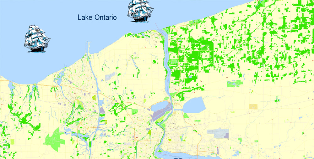
Buffalo is on Lake Erie’s eastern end, opposite Fort Erie, Ontario, Canada. It is located at the origin of the Niagara River, which flows northward over Niagara Falls and into Lake Ontario. The city is 50 miles (80 km) south-southeast from Toronto. Relative to downtown, the city is generally flat with the exception of area surrounding North and High streets, where a hill of 90 feet gradually develops approaching from the south and north. In the Southtowns are the Boston Hills, while the Appalachian Mountains sit in the Southern Tier below them. To the north and east, the region maintains a flatter profile descending to Lake Ontario. Various types of shale, limestone and lagerstätten are prevalent in the geographic makeup of Buffalo and surrounding areas, which line the waterbeds within and bordering the city.
The assign color ability is provided only if the entire map, layer or fragment is selected in the document. You can specify which of new colors replace the current colors, whether the spot colors should be preserved and how colors are replaced (for example, you can replace colors completely or changing the color tone while maintaining the brightness). The «Assign» tab allows you to redefine colors in the Vector Map of Buffalo city, or in separate layers and fragments using the current color group or reducing the number of colors in the current Vector Map.
Color groups
Is a list of all saved color groups for current document (the same groups appear in the «Samples» palette). You can edit and delete the existing color groups, as well as creating a new ones using the list of “Color Groups” in the dialog box. All changes appear in the «Samples» palette.
The highlighted color group shows, which color group is currently edited.
Any color group can be selected and edited, or used to redefine the colors in the selected vector map of Buffalo city, its fragments or elements.
Saving a color group adds this group to the specified list.
Opening the «Edit Colors»/«Repaint Graphic Object» dialog box.
Open the «Edit Colors»/«Repaint Graphic Object» dialog box using one of the following methods:
«Edit»> «Edit Colors»> «Repaint Graphic object» or «Repaint With Style».
Use these commands if you need to edit the colors in the selected vector map of Buffalo city.
«Repaint Graphic object» button on the «Control» panel.
Use this button if you need to adjust colors of Buffalo city vector map using the а «Repaint graphic object» dialog box.
The specified button is available if the selected vector map or its fragment contains two or more colors.
Note. This color editing method is convenient for global color adjustment in a vector map, if global colors were not used when creating a City Map of Buffalo.
The «Edit colors» button or «Edit or apply colors» on the «Color Catalog» palette
Click this button if you need to edit colors on the «Color Catalog» palette or edit and then apply them to the selected Vector Map of Buffalo city or its fragment.
The «Edit color group» button or «Edit or apply color group» on the «Samples» palette.
Click this button if you need to edit the colors in the specific color group or edit and apply them to the selected Vector Map of Buffalo city or a group of its elements, for example, the whole layer “Streets and lines”. You can also double-click the color group in the Samples panel to open the dialog box.
If the map file is too large and your computer freezes or even can’t open it quickly:
1. Try to reduce the color resolution of the video card (display) to 256 colors while working with a large map.
2. Using Windows Task Manager, select all the application you don’t need, while working with map, just turn them off.
3. Launch Adobe Illustrator. (DO NOT OPEN the vector map file)
4. Start the Windows Task Manager using administrator rights > Find the “Illustrator” process > set the «real time» priority,
5. Open the file. When you see the LEGACY FONT popup window – click “OK” (do not update). You can restore the TEXT later.
6. Can also be useful: When file is opened – Edit > Settings > Basic Settings > disable smoothing. /// It looks scary, but works quickly)))
We recommend saving the file in Adobe Illustrator 10 version. It’s much more stable when working with VERY BIG size files.
Although there have not been any recent or significant earthquakes, Buffalo sits atop of the Southern Great Lakes Seismic Zone, which is part of the Great Lakes tectonic zone.
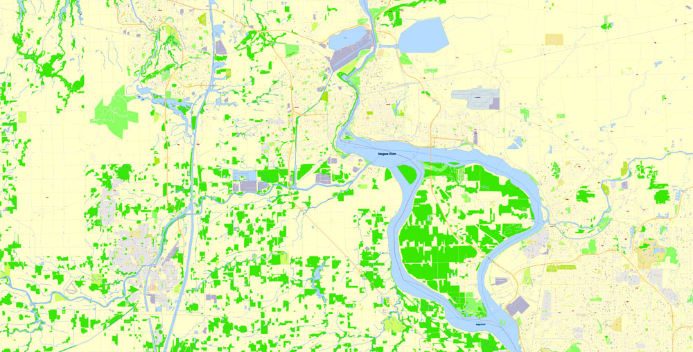
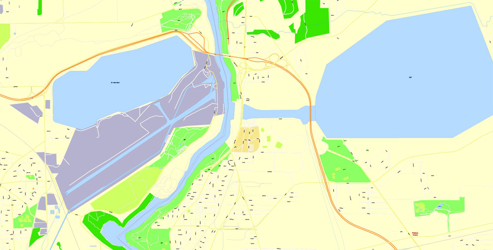
Buffalo has four channels that flow through its boundaries: the Niagara River, Buffalo River and Creek, Scajaquada Creek, and the Black Rock Canal, which is adjacent to the Niagara River.
According to the United States Census Bureau, the city has an area of 52.5 square miles (136 km2), of which 40.6 square miles (105 km2) is land and the rest water. The total area is 22.66% water.
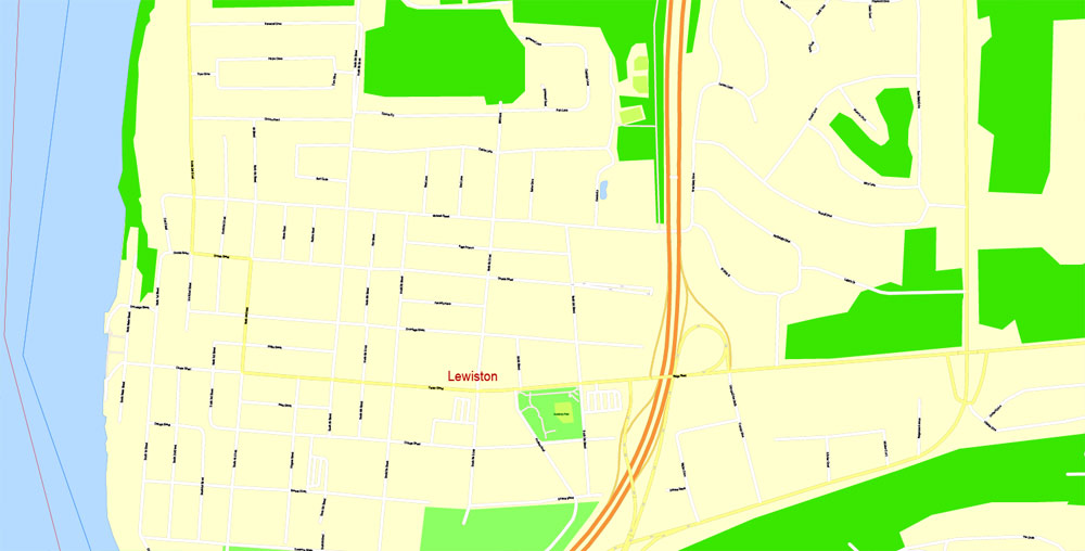
Niagara Falls is the collective name for three waterfalls that straddle the international border between the Canadian province of Ontario and the American state of New York. They form the southern end of the Niagara Gorge.
From largest to smallest, the three waterfalls are the Horseshoe Falls, the American Falls and the Bridal Veil Falls. The Horseshoe Falls lies on the border of the United States and Canada with the American Falls entirely on the United States’ side, separated by Goat Island. The smaller Bridal Veil Falls are also on the United States’ side, separated from the American Falls by Luna Island.
Located on the Niagara River, which drains Lake Erie into Lake Ontario, the combined falls form the highest flow rate of any waterfall in North America that has a vertical drop of more than 50 metres (160 ft). During peak daytime tourist hours, more than 168,000 m3 (six million cubic feet) of water goes over the crest of the falls every minute. Horseshoe Falls is the most powerful waterfall in North America, as measured by flow rate.
The falls are 27 kilometres (17 mi) north-northwest of Buffalo, New York, and 121 kilometres (75 mi) south-southeast of Toronto, between the twin cities of Niagara Falls, Ontario, and Niagara Falls, New York. Niagara Falls was formed when glaciers receded at the end of the Wisconsin glaciation (the last ice age), and water from the newly formed Great Lakes carved a path through the Niagara Escarpment en route to the Atlantic Ocean.
Niagara Falls is famed both for its beauty and as a valuable source of hydroelectric power. Balancing recreational, commercial, and industrial uses has been a challenge for the stewards of the falls since the 19th century.
St. Catharines is the largest city in Canada’s Niagara Region and the sixth largest urban area in Ontario, with 96.13 square kilometres (37.1 sq mi) of land and 133,113 residents in 2016. It lies in Southern Ontario, 51 kilometres (32 mi) south of Toronto across Lake Ontario, and is 19 kilometres (12 mi) inland from the international boundary with the United States along the Niagara River. It is the northern entrance of the Welland Canal. Residents of St. Catharines are known as St. Cathariners. St. Catharines carries the official nickname “The Garden City” due to its 1,000 acres (4 km2) of parks, gardens and trails.
St. Catharines is between the Greater Toronto and Hamilton Area (GTHA) and the Canada–U.S. border at Fort Erie. Manufacturing is the city’s dominant industry, as noted by the heraldic motto, “Industry and Liberality”. General Motors of Canada, Ltd., the Canadian subsidiary of General Motors, was the city’s largest employer, a distinction now held by the District School Board of Niagara. THK Rhythm Automotive, formerly TRW, operates a plant in the city, though in recent years employment there has shifted from heavy industry and manufacturing to services.
St. Catharines lies on one of the main telecommunications backbones between Canada and the United States, and as a result a number of call centres operate in the city. It is designated an Urban Growth Centre by the Growth Plan for the Greater Golden Horseshoe, intended to achieve a minimum density target of 150 jobs and residents combined per hectare by 2031 or earlier.
The complex and extensive glacial history of the Niagara Peninsula has resulted in similarly complex soil stratigraphy in the area occupied by the city today. St. Catharines was once at the base of a glacial lake known as Glacial Lake Iroquois, which deposited thick layers of clay between the Escarpment and Lake Ontario. As a result of these factors, the city’s soil is particularly conducive to fruit growing and is capable of producing grapes that are used to make award-winning wines. Three wineries operate in the city’s west-end: Henry of Pelham Winery, Hernder Estates and Harvest Estates.
Since the opening of the first Welland Canal in 1829, the city has had four different canal systems, whether modified or newly constructed, carved into its geographical landscape. The fourth and present-day canal forms the majority of the city’s eastern boundary. The first three of the city’s canals have largely been buried, portions of it beside the present-day Highway 406 and near Lake Street and the QEW highway.
Other remnants of the original canals can still be seen in various locations throughout the city; many remains are hidden within forested areas designated as city parks. Some residents in the region are interested in restoring the original routing of the Welland Canal through the city. They intend that the restored waterway and locks would be open to a new tourist attraction within the city.
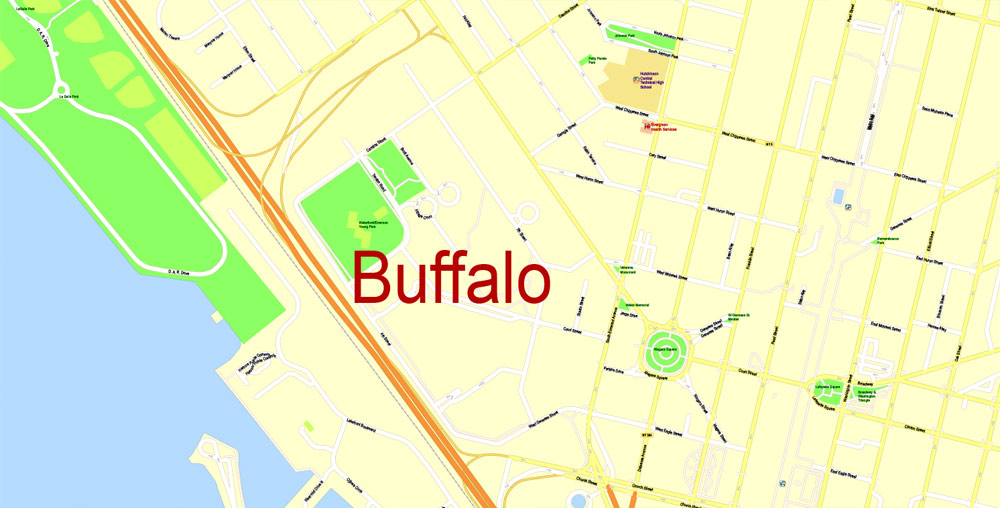
Buffalo
City in New York
Buffalo is a city on the shores of Lake Erie in upstate New York. Its fine neoclassical, beaux arts and art deco architecture speaks to its history as an industrial capital in the early 20th century. Its landmarks include the 398-ft art deco City Hall, the Frank Lloyd Wright–designed Darwin D. Martin House and the Albright-Knox Art Gallery, a Greek Revival museum with works by Picasso and Warhol.
Area
• City 52.5 sq mi (136.0 km2)
• Land 40.6 sq mi (105.2 km2)
• Water 11.9 sq mi (30.8 km2)
Elevation 600 ft (183 m)
Population
• City 258,959 (US: 73rd)
• Density 6,436.2/sq mi (2,568.8/km2)
• Urban 935,906 (US: 46th)
• Metro 1,134,210 (US: 49th)
• CSA 1,213,668 (US: 44th)
Niagara Falls
City in Ontario, Canada
Niagara Falls, Ontario, is a Canadian city at the famous waterfalls of the same name, linked with the U.S. by the Rainbow Bridge. Its site on the Niagara River’s western shore overlooks the Horseshoe Falls, the cascades’ most expansive section. Elevators take visitors to a lower, wetter vantage point behind the falls. A cliffside park features a promenade alongside 520-ft.-high Skylon Tower with an observation deck.
Niagara Falls
City in New York
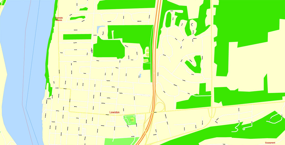
Niagara Falls is a city in Niagara County, New York, United States. As of the 2010 census, the city had a total population of 50,193, down from the 55,593 recorded in the 2000 census.
St. Catharines
City in Ontario, Canada
St. Catharines is the largest city in Canada’s Niagara Region and the sixth largest urban area in Ontario, with 96.13 square kilometres of land and 133,113 residents in 2016.

Free Download Vector Map US County and State Adobe Illustrator
Free_Vector_Map_US_States_County_Map.ai
Free Download Vector Map US County and State Adobe PDF
Free_Vector_Map_US_States_County_Map.pdf

Free Download Vector Map US With States Names, Adobe Illustrator
Free_Map_of_USA_with_state_names_en.ai
Free Download Vector Map US With States Names, Adobe PDF
Free_Map_of_USA_with_state_names_en.pdf
From WIKI
Free vector map World, Adobe Illustrator, download now maps vector clipart
Map for design, projects, presentation free to use as you like.
See also: TERMS & CONDITIONS: SOFTWARE LICENSE AGREEMENT FOR DIGITAL CARTOGRAPHIC DATA.
Need more USA Vector Maps, printable and editable?

 Author: Kirill Shrayber, Ph.D. FRGS


