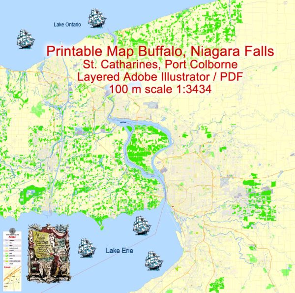
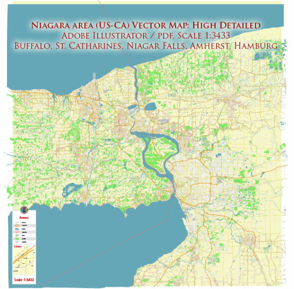
Buffalo and Niagara Falls are two distinct but closely located cities in the state of New York, United States. Here’s a geographical description of each:
Buffalo:
- Location: Buffalo is located in western New York, near the eastern shore of Lake Erie. It is the second-largest city in the state and is part of Erie County.
- Coordinates: Buffalo is situated at approximately 42.8864° N latitude and 78.8784° W longitude.
- Lake Erie: Buffalo’s proximity to Lake Erie plays a significant role in its geography. The city’s location on the eastern end of Lake Erie makes it a major port and has historically been important for shipping and trade.
- Terrain: Buffalo’s terrain is relatively flat, with the Niagara River and Niagara Falls to the north and Lake Erie to the west. The city is known for its distinctive, long, and often harsh winters due to its proximity to the Great Lakes.
Niagara Falls:
- Location: Niagara Falls is located to the north of Buffalo, right on the border of the United States and Canada. The city of Niagara Falls, New York, and its Canadian counterpart, Niagara Falls, Ontario, are connected by the famous waterfalls.
- Coordinates: Niagara Falls is situated at approximately 43.0962° N latitude and 79.0377° W longitude.
- Niagara River: The primary geographical feature of Niagara Falls is, of course, the Niagara River and the world-famous waterfalls for which the city is named. The river flows northward, connecting Lake Erie to Lake Ontario, and creates the iconic Niagara Falls.
- Geography: The city of Niagara Falls, New York, is characterized by its proximity to the falls and the natural beauty of the surrounding area. The falls themselves are a major tourist attraction and are shared with the Canadian side, offering stunning views and activities for visitors.
The Buffalo-Niagara Falls region is known for its natural beauty, with the Niagara River and Falls, the Great Lakes, and nearby parks and forests making it a popular destination for tourists and outdoor enthusiasts. Additionally, the region’s location near the U.S.-Canada border contributes to its importance in trade and tourism between the two countries.


 Author: Kirill Shrayber, Ph.D.