Extended Description of the Vector Map
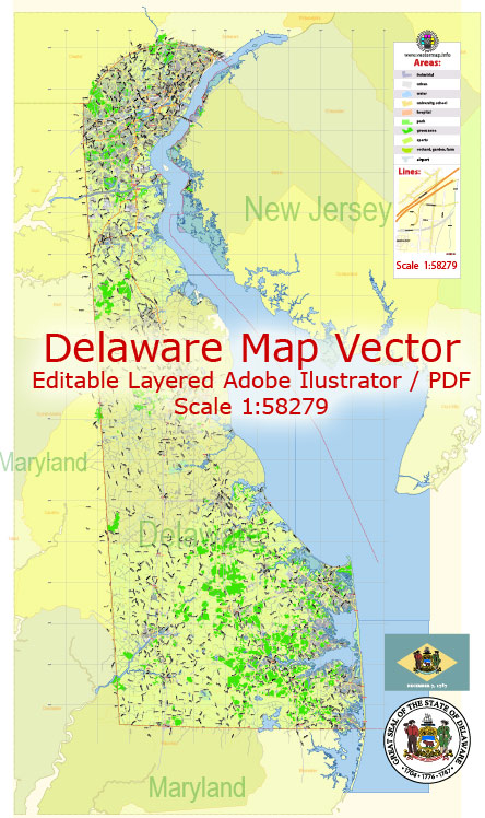
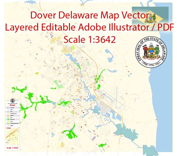
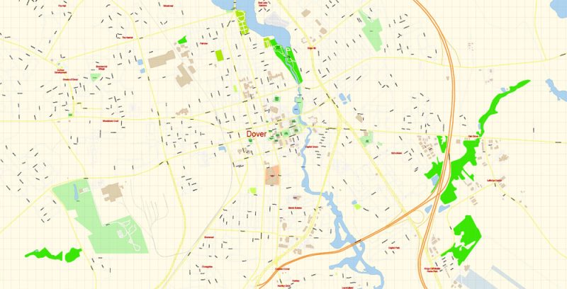
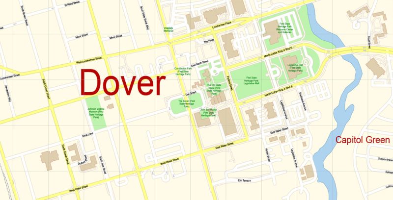
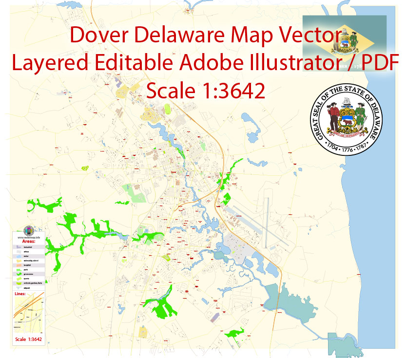
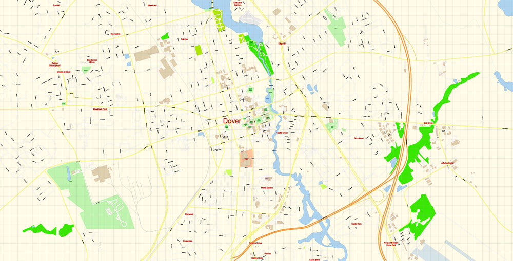
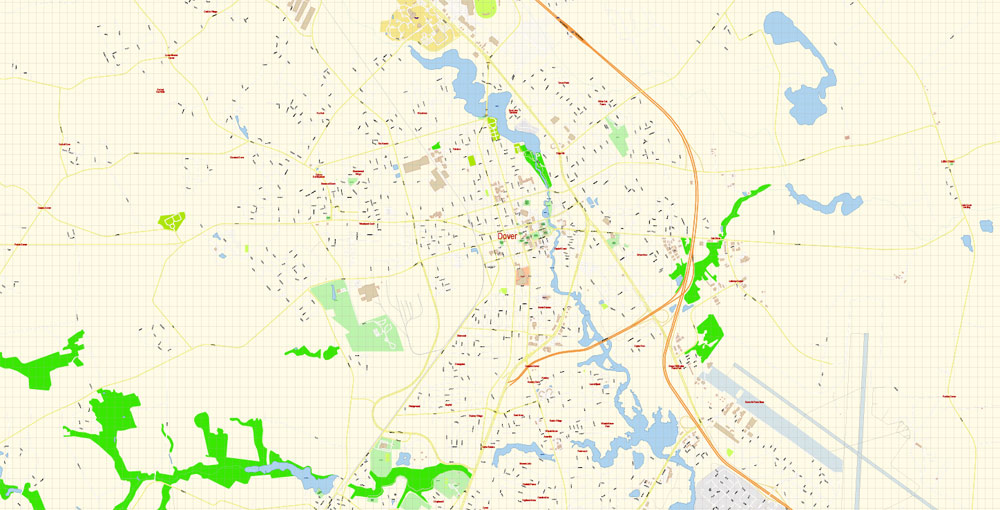
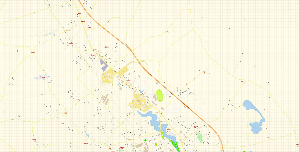
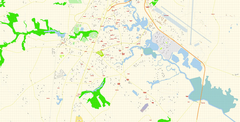
Printable PDF Vector Map of Dover Delaware US detailed City Plan scale 1:3642 full editable Adobe PDF Street Map in layers, scalable, text format all names, 6 MB ZIP
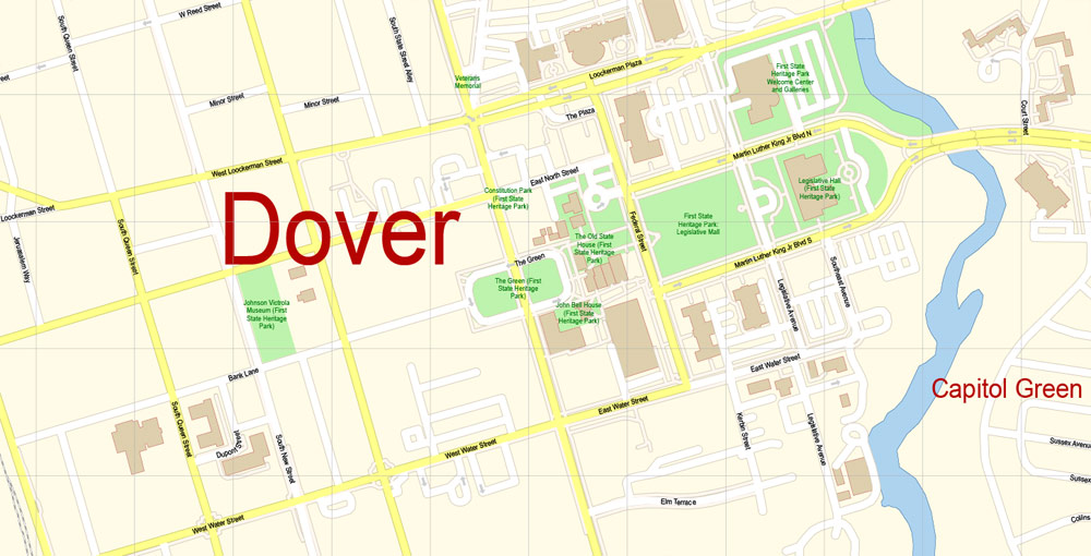
All street names, Main Objects, Buildings. Map for design, printing, arts, projects, presentations, for architects, designers, and builders, business, logistics.
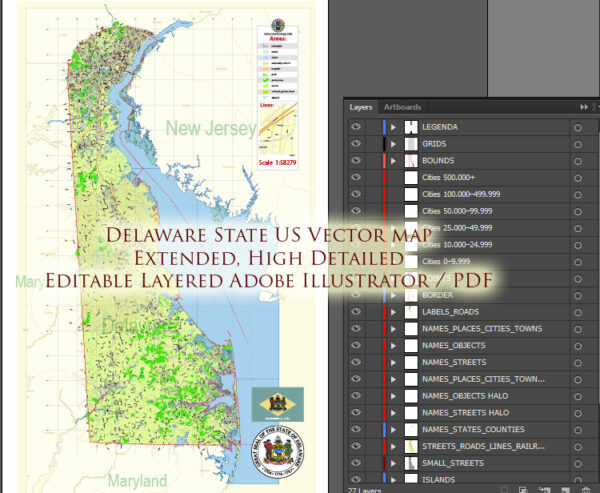
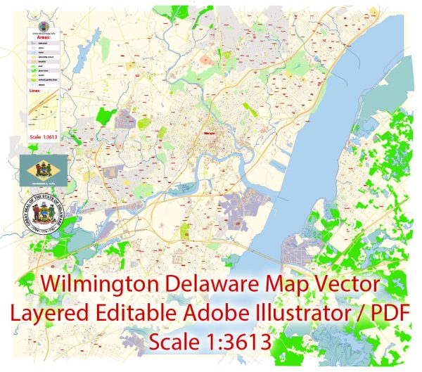
Layers: color_fills, water, streets_roads, labels_roads, names_objects, names_streets, names_places, arrows_streets, buildings, grids, legend, etc.
The most exact and detailed map of the city in scale.
For Editing and High-Quality Printing
Dover
City in Delaware
Dover is the capital city of Delaware. The First State Heritage Park comprises several sites around the centuries-old Green. These include the 1791 Old State House and the Biggs Museum of American Art. Dover International Speedway hosts NASCAR races. A variety of aircraft is displayed at the Air Mobility Command Museum, at Dover Air Force Base. Nearby, the bird-rich Bombay Hook National Wildlife Refuge is on Delaware Bay.
Elevation: 9.14 m
Population: 37,538 (2017)
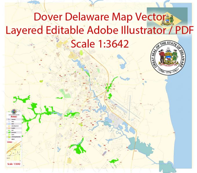
Dover Map Vector Delaware Exact City Plan detailed Street Map editable Adobe Illustrator in layers
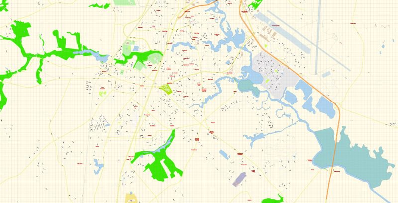
Dover Map Vector Delaware Exact City Plan detailed Street Map editable Adobe Illustrator in layers
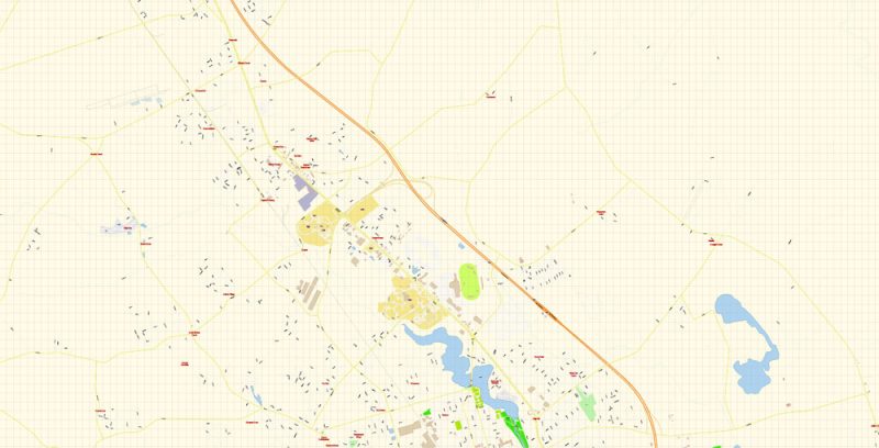
Dover Map Vector Delaware Exact City Plan detailed Street Map editable Adobe Illustrator in layers
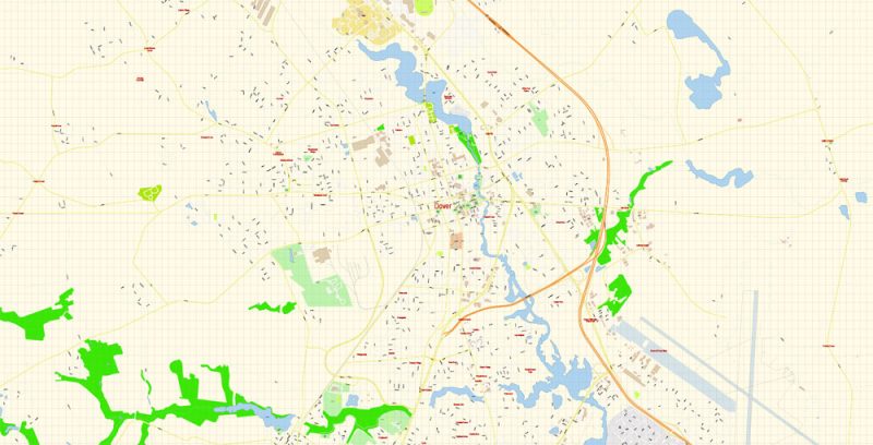
Dover Map Vector Delaware Exact City Plan detailed Street Map editable Adobe Illustrator in layers
Dover Map Vector Delaware Exact City Plan detailed Street Map editable Adobe Illustrator in layers
Dover Map Vector Delaware Exact City Plan detailed Street Map editable Adobe Illustrator in layers
Author Rating
Aggregate Rating
no rating based on 0 votes
@vectormapper
Product Name Dover PDF Map Vector Delaware Exact City Plan detailed Street Map editable Adobe PDF in layers
Price
USD 29
Product Availability
Available in Stock



 Author: Kirill Shrayber, Ph.D. FRGS