Extended Description of the Vector Map
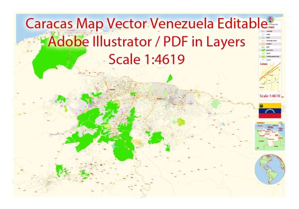
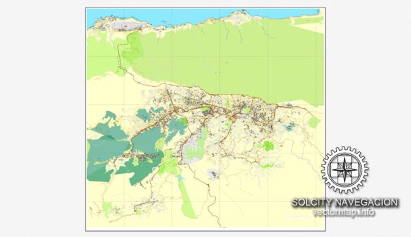
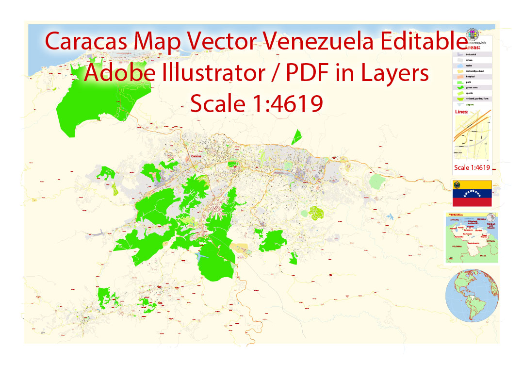
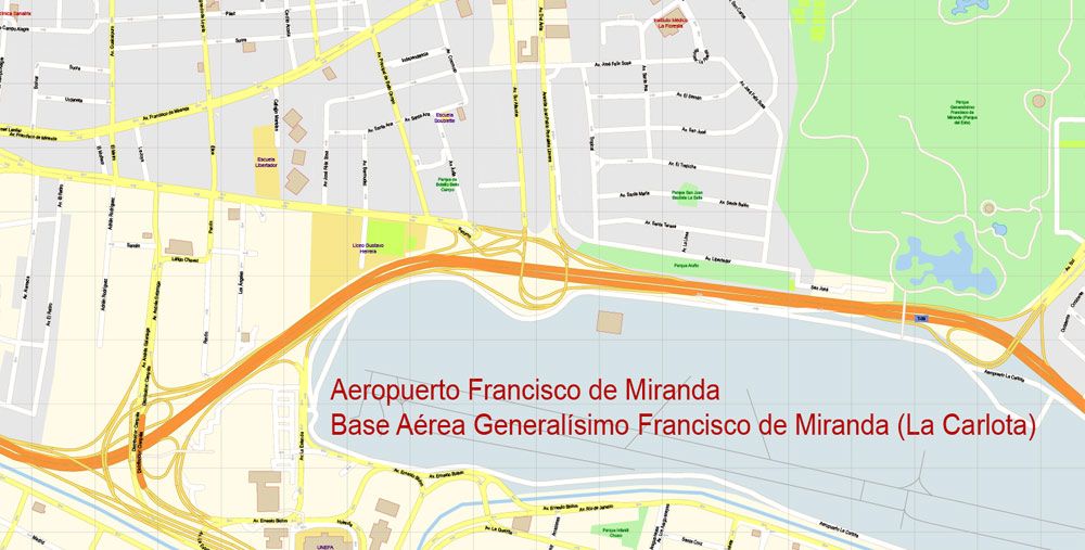
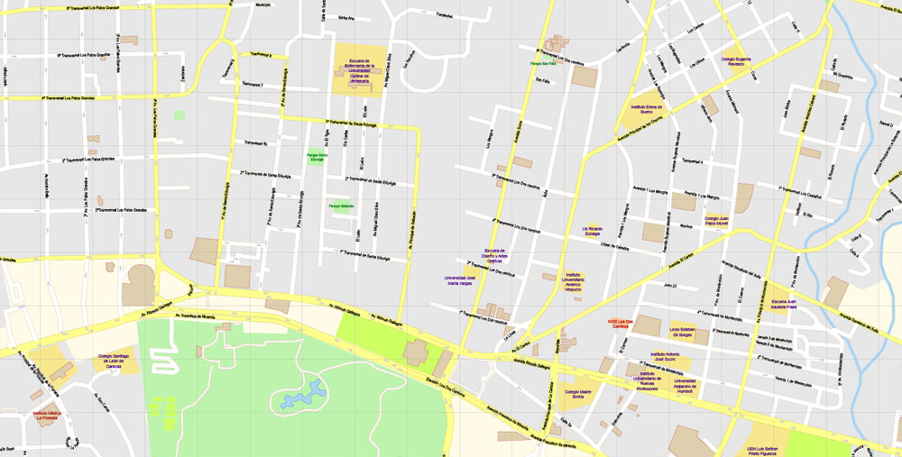
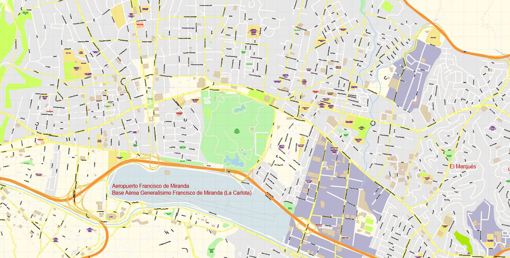
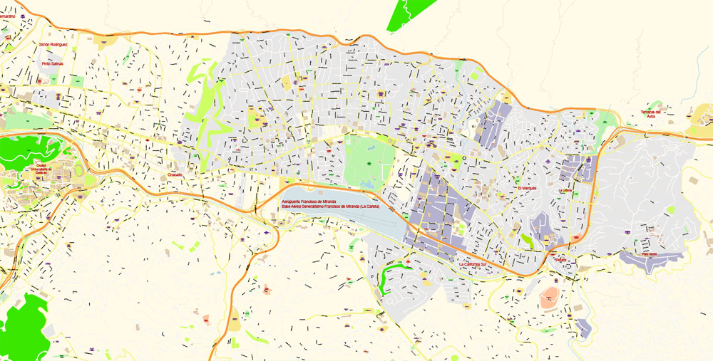
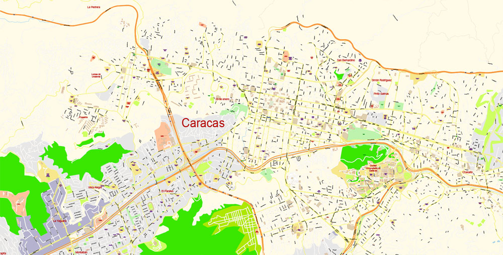
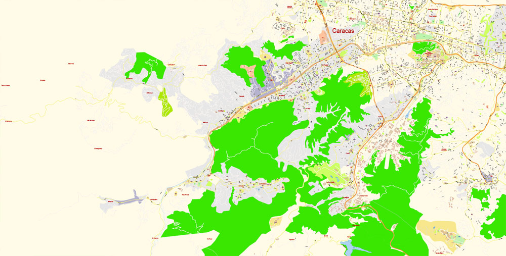
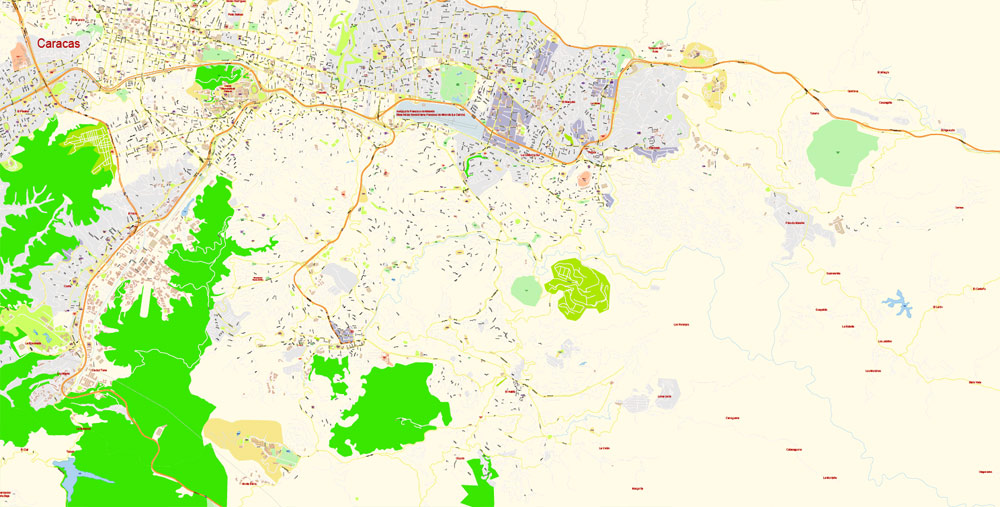
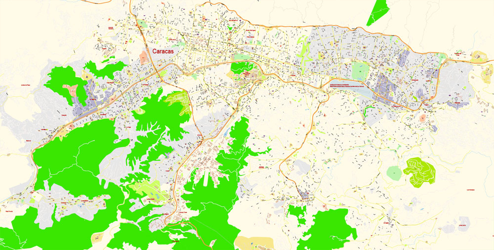
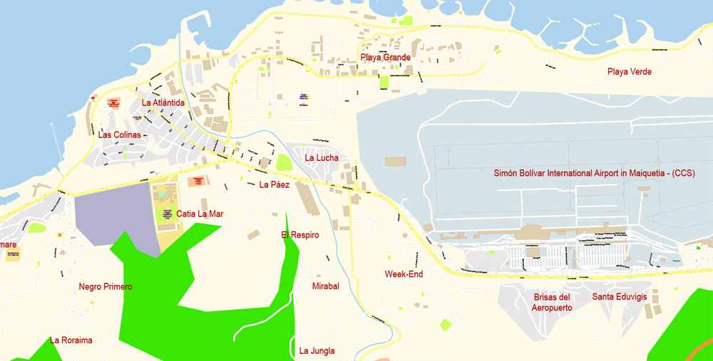
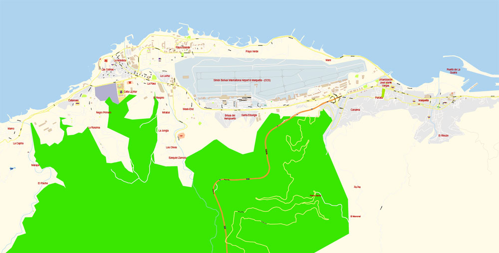
Caracas Vector Map Venezuela exact printable City Plan editable layered Adobe Illustrator scale 1:4619 Street Map, scalable, text format all names, 8 Mb ZIP.
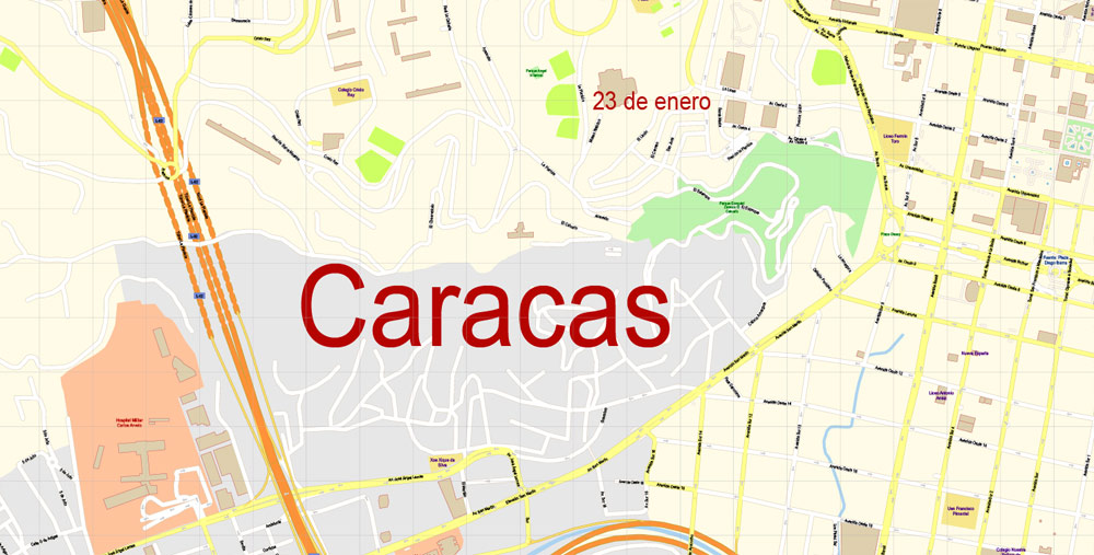
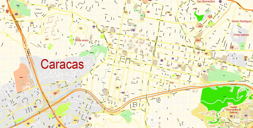
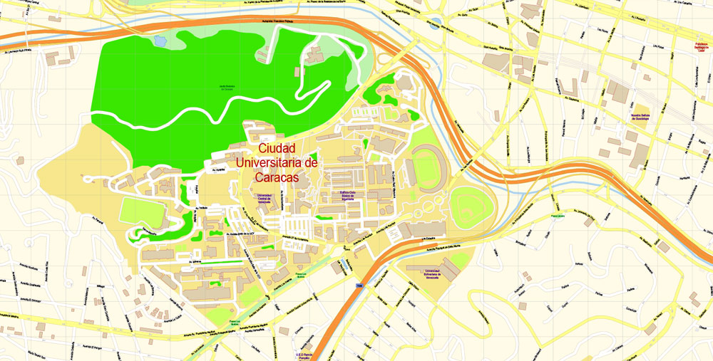
All streets names, principal buildings, main objects. Map for publishing, design, printing, publications, arts, projects, presentations, for architects, designers and builders, business, logistics. The most exact and detailed map of the city.
Separated layers: streets and roads, color fills, objects, road labels, street arrows, water, buildings, names, grids, legend.
For editing and high quality printing
DWG, DXF, CDR and other formats – by request, same price, please contact.
Here is a small guide to mass edit objects og one type https://vectormap.net/about/faqs/
Caracas
Capital of Venezuela
Caracas, Venezuela’s capital, is a commercial and cultural center located in a northern mountain valley. Independence leader Simón Bolívar is buried at the National Pantheon of Venezuela, established in the 19th century in the city’s old town. Caracas Cathedral, a landmark of Romanesque architecture, dates to the 17th century. Parque Central’s 225m-high twin towers are the signature of the skyline.
Area
• Capital City 433 km2 (167 sq mi)
• Metro 4,715.1 km2 (1,820.5 sq mi)
Elevation 900 m (3,000 ft)
Highest elevation 1,400 m (4,600 ft)
Lowest elevation 870 m (2,850 ft)
Population
• Capital City 1,945,901
• Density 4,212.9/km2 (10,911/sq mi)
• Metro 2,967,626
• Metro density 1,123.4/km2 (2,910/sq mi)
Free vector map World, Adobe Illustrator, download now maps vector clipart
Map for design, projects, presentation free to use as you like.
See also: TERMS & CONDITIONS: SOFTWARE LICENSE AGREEMENT FOR DIGITAL CARTOGRAPHIC DATA
Author Rating
Aggregate Rating
no rating based on 0 votes
@vectormapper
Product Name Caracas Vector Map Venezuela exact printable City Plan editable layered Adobe Illustrator extra detailed Street Map
Price
USD 49
Product Availability
Available in Stock



 Author: Kirill Shrayber, Ph.D. FRGS