Extended Description of the Vector Map
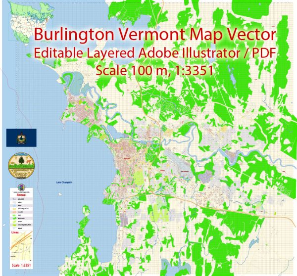
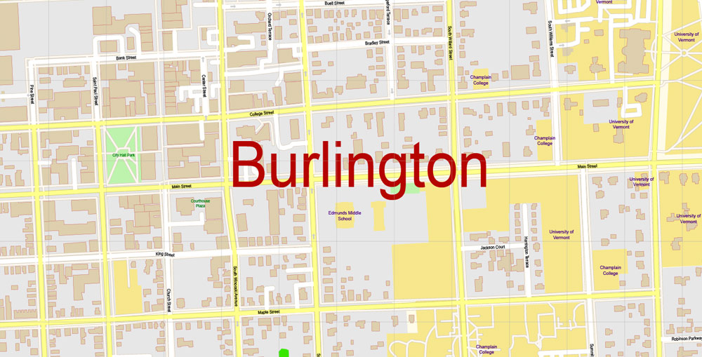
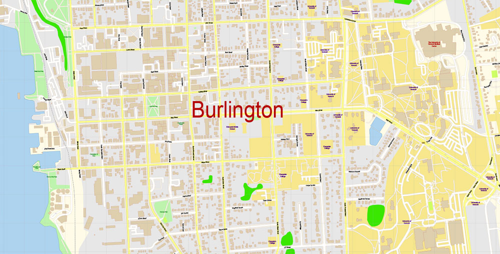
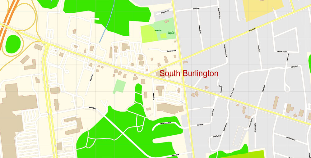
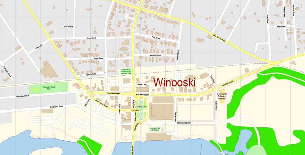
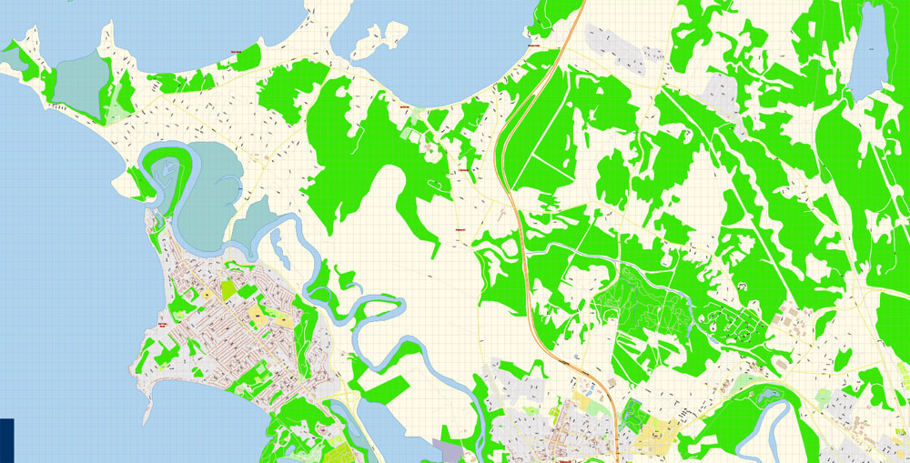
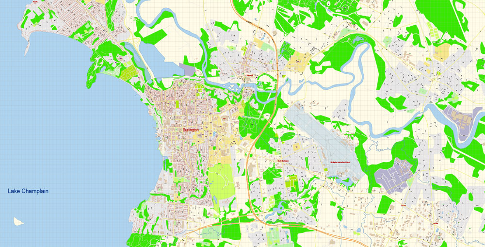
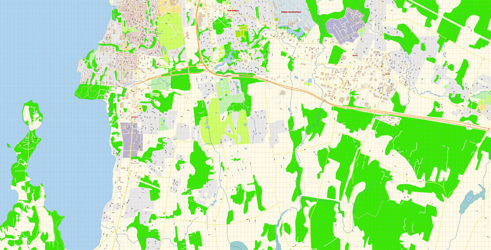
Printable PDF Vector Map of Burlington Vermont US detailed City Plan scale 100 m 1:3351 full editable Adobe PDF Street Map in layers, scalable, text format all names, 13 MB ZIP
All street names, Main Objects, Principal Buildings. Map for design, printing, arts, projects, presentations, for architects, designers, and builders, business, logistics.
Layers: color_fills, water, streets_roads, labels_roads, names_objects, names_streets, names_places, arrows_streets, buildings, grids, legend, etc.
The most exact and detailed map of the city in scale.
For Editing and High-Quality Printing
Burlington
City in Vermont
Burlington is a city in northwestern Vermont, on the eastern shore of Lake Champlain, south of the Canadian border. Downtown, shops, and restaurants line pedestrianized Church Street Marketplace. North of downtown, the Ethan Allen Homestead Museum is a former home of the Revolutionary War hero. The vast Shelburne Museum, south of the city, houses American folk and decorative art in a collection of historic buildings.
Elevation: 61 m
Population: 42,239
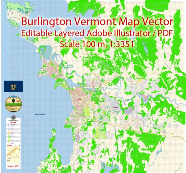
Burlington Vermont PDF Map Vector Exact City Plan detailed Street Map Adobe PDF in layers
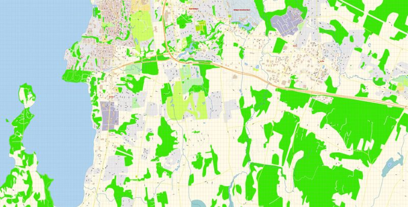
Burlington Vermont PDF Map Vector Exact City Plan detailed Street Map Adobe PDF in layers
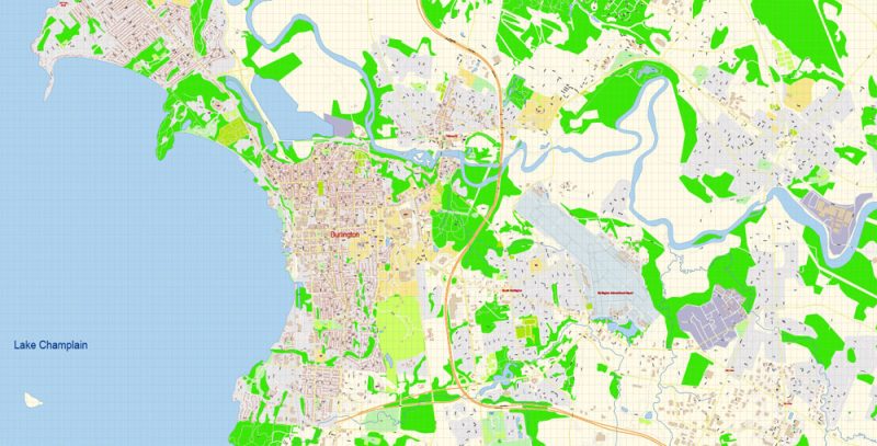
Burlington Vermont PDF Map Vector Exact City Plan detailed Street Map Adobe PDF in layers
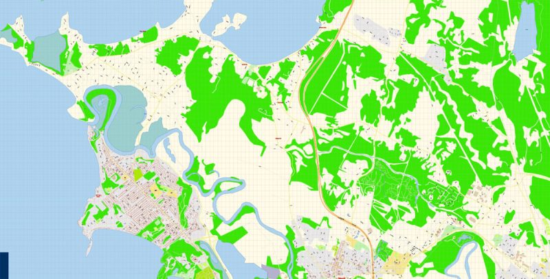
Burlington Vermont PDF Map Vector Exact City Plan detailed Street Map Adobe PDF in layers
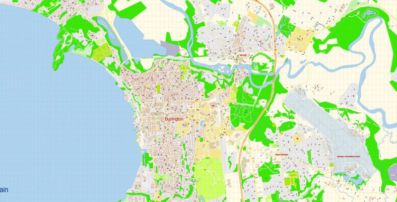
Burlington Vermont PDF Map Vector Exact City Plan detailed Street Map Adobe PDF in layers
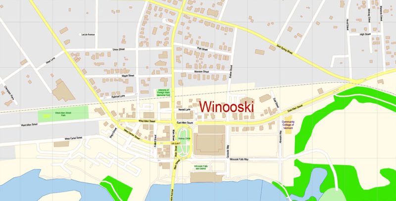
Burlington Vermont PDF Map Vector Exact City Plan detailed Street Map Adobe PDF in layers
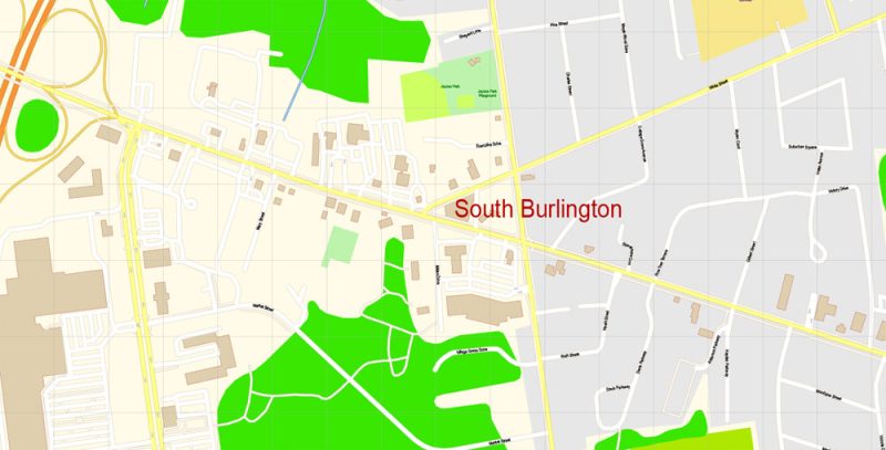
Burlington Vermont PDF Map Vector Exact City Plan detailed Street Map Adobe PDF in layers
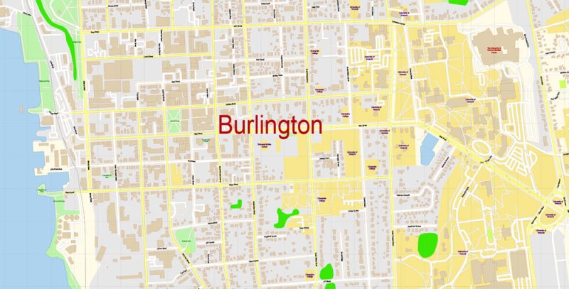
Burlington Vermont PDF Map Vector Exact City Plan detailed Street Map Adobe PDF in layers
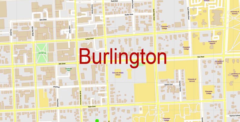
Burlington Vermont PDF Map Vector Exact City Plan detailed Street Map Adobe PDF in layers
Author Rating
Aggregate Rating
no rating based on 0 votes
@vectormapper
Product Name Burlington Vermont PDF Map Vector Exact City Plan detailed Street Map Adobe PDF in layers
Price
USD 27
Product Availability
Available in Stock





 Author: Kirill Shrayber, Ph.D. FRGS