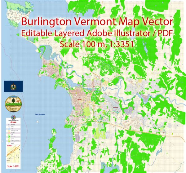
A general overview of the economic and transportation aspects of Burlington, Vermont.
Vectormap.Net provide you with the most accurate and up-to-date vector maps in Adobe Illustrator, PDF and other formats, designed for editing and printing. Please read the vector map descriptions carefully.
Economic Overview:
- Diverse Economy: Burlington boasts a diverse economy with a mix of industries. The city has a significant focus on services, education, healthcare, and tourism.
- Higher Education and Healthcare: The presence of the University of Vermont and the University of Vermont Medical Center contributes significantly to the economy. These institutions provide employment opportunities and attract students, faculty, and healthcare professionals to the area.
- Tourism: Burlington is a popular tourist destination, attracting visitors with its scenic beauty, cultural events, and recreational activities. The city is located on the shores of Lake Champlain, offering opportunities for outdoor activities.
- Local Businesses: The downtown area of Burlington is known for its vibrant local businesses, including shops, restaurants, and cafes. The city has a focus on supporting local entrepreneurship and sustainable practices.
- Tech and Innovation: Burlington has seen growth in the technology sector, with the emergence of tech startups and companies. The city promotes innovation and has a collaborative business environment.
Transportation Overview:
- Burlington International Airport: Burlington is served by the Burlington International Airport (BTV), providing domestic and limited international flights. The airport connects the city to major hubs in the United States.
- Public Transportation: Burlington has a public transportation system operated by the Chittenden County Transportation Authority (CCTA), which includes bus services covering various routes in and around the city.
- Cycling and Walking: Burlington is known for its bike-friendly and walkable environment. The city encourages alternative transportation methods, and there are dedicated bike lanes and walking paths.
- Roadways: The city is well-connected by roadways, including Interstate 89 and U.S. Route 7. These highways facilitate transportation within the city and connect Burlington to other parts of Vermont and neighboring states.
- Port of Burlington: The city has a port on Lake Champlain, which historically played a significant role in transportation. While not as prominent today, the port still facilitates some cargo and recreational boating activities.
It’s advisable to check for the latest updates and developments to get the most accurate and current information about the economic and transportation landscape in Burlington, Vermont.


 Author: Kirill Shrayber, Ph.D.