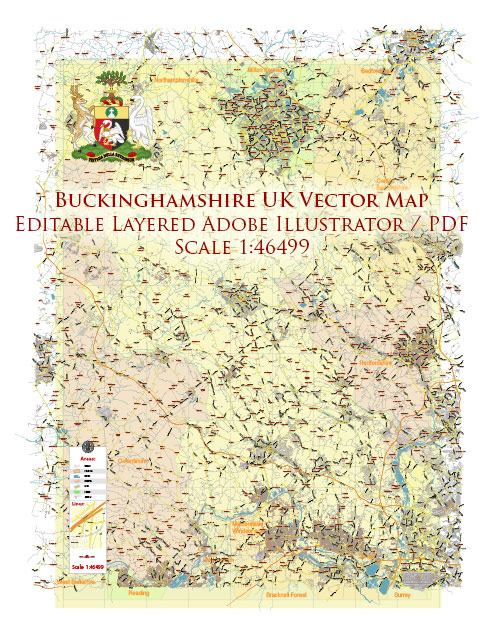
Extended Description of the Vector Map
Major cities in Buckinghamshire:
Milton Keynes (184 506)
High Wycombe (92,300)
Aylesbury (56,392)
Other localities:
Iver
Amersham
Buckingham
Beaconsfield
Great Missenden
Marlow
Newport-Pagnell
Olney
Princes Risborough
Stoke-Mandeville
Winslow
Woburn Sands
Wotton-Underwood
Wendover
West Wycombe
Haddenham
Chesham
Buckinghamshire is a historic and ceremonial county in the heart of England. It is part of South-East England. The total area is 1,874 km2. 64 sites of special scientific significance have been identified in the county: 53 of them are of special biological interest, 10 are of geological interest, and 1 is both at the same time.
Special protected status is granted to natural monuments of biological and geological significance in accordance with special selection rules. In England, the designation of a site of special scientific significance is the responsibility of Natural England, which assesses whether a given area is of special interest due to its fauna, flora, geological, physical-geographical or geomorphological features. Natural England was created on 1 October 2006 as a result of the merger of three organizations – Countryside Agency, English Nature, and Rural Development Service; it received all its powers, in particular, to assign the status of territories of special scientific significance.
Printable Vector Map of Buckinghamshire UK detailed County Plan scale 1:2906 full editable Adobe Illustrator Street Map in layers, scalable, text format all names, 34 MB ZIP
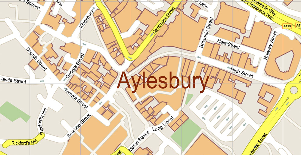
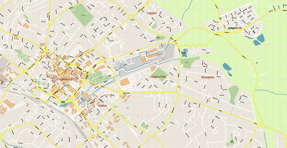
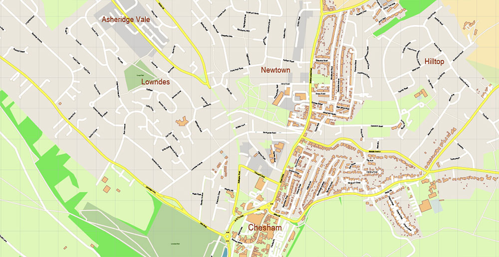
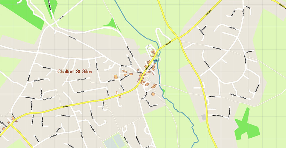
All street names, Main Objects, Buildings. Map for design, printing, arts, projects, presentations, for architects, designers, and builders, business, logistics.
Included: Simple map of UK, Coat of Arms of Buckinghamshire.
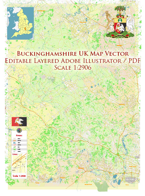
Buckinghamshire UK Map Vector Exact County Plan High Detailed Street Map + Admin editable Adobe Illustrator in layers
Layers list:
- Legend
- Grids
- Labels of roads
- Names of places (city, hamlet, etc.)
- Names of objects (hospitals, parks, water)
- Names of main streets
- Names of civil streets
- Names of counties
- Main Streets, roads
- Civil streets
- Railroads
- Buildings
- Streets and roads polygons (part)
- Airports and heliports
- Water objects (rivers, lakes, ponds)
- Waterways
- Color fills (parks, hospital areas, land use, etc.)
- Counties areas
- Background
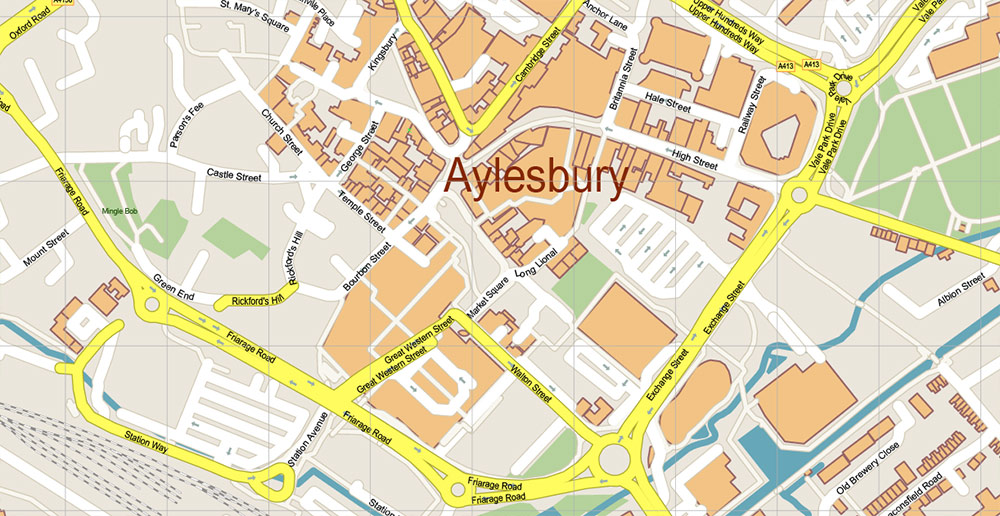
Buckinghamshire UK Map Vector Exact County Plan High Detailed Street Map + Admin editable Adobe Illustrator in layers
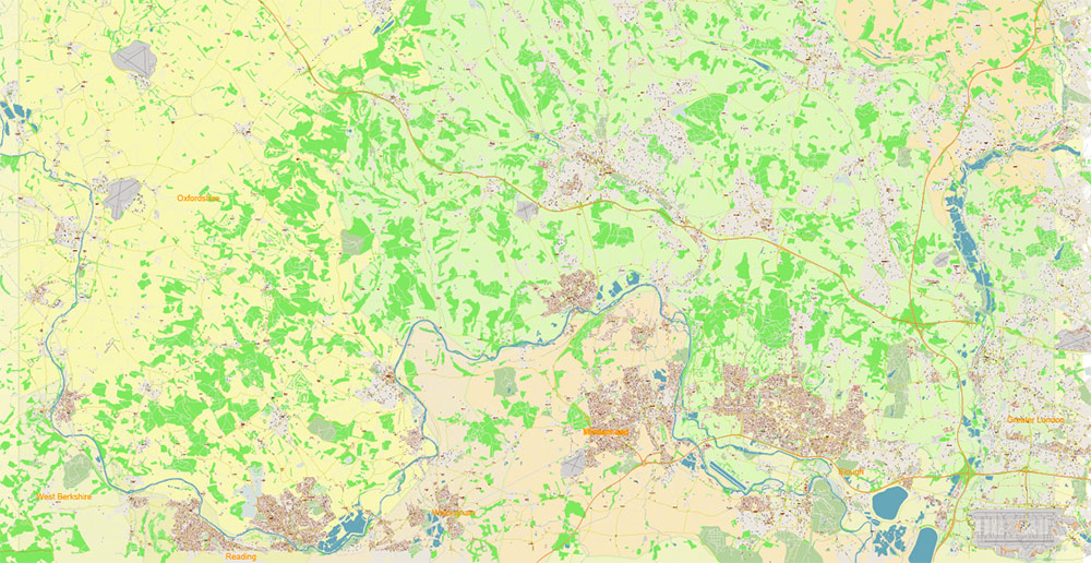
Buckinghamshire UK Map Vector Exact County Plan High Detailed Street Map + Admin editable Adobe Illustrator in layers
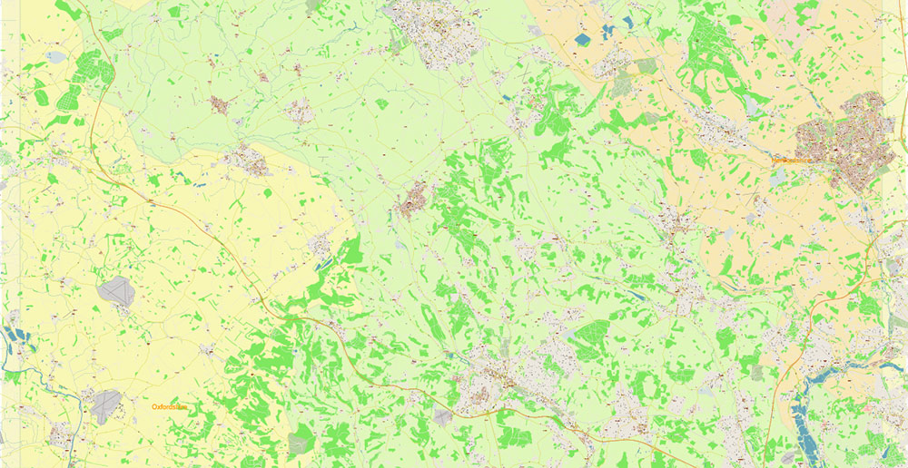
Buckinghamshire UK Map Vector Exact County Plan High Detailed Street Map + Admin editable Adobe Illustrator in layers
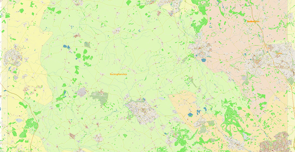
Buckinghamshire UK Map Vector Exact County Plan High Detailed Street Map + Admin editable Adobe Illustrator in layers
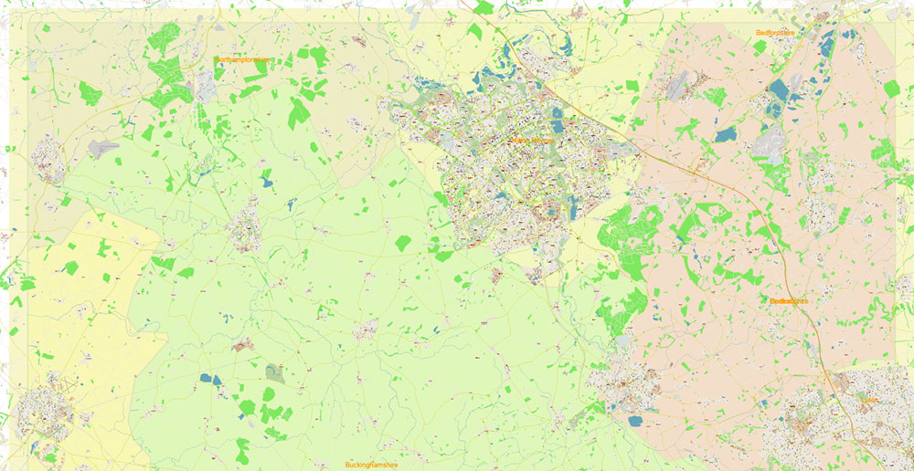
Buckinghamshire UK Map Vector Exact County Plan High Detailed Street Map + Admin editable Adobe Illustrator in layers
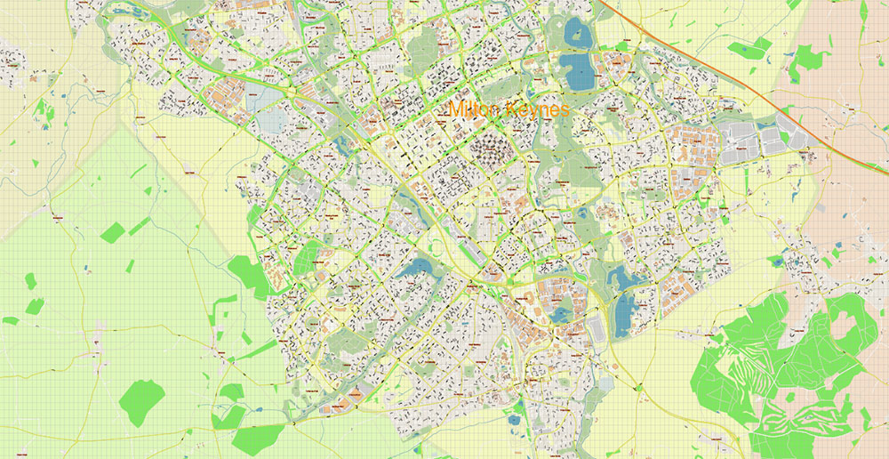
Buckinghamshire UK Map Vector Exact County Plan High Detailed Street Map + Admin editable Adobe Illustrator in layers
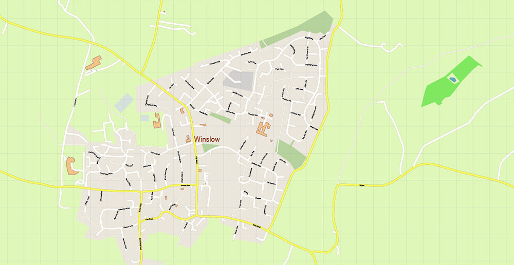
Buckinghamshire UK Map Vector Exact County Plan High Detailed Street Map + Admin editable Adobe Illustrator in layers
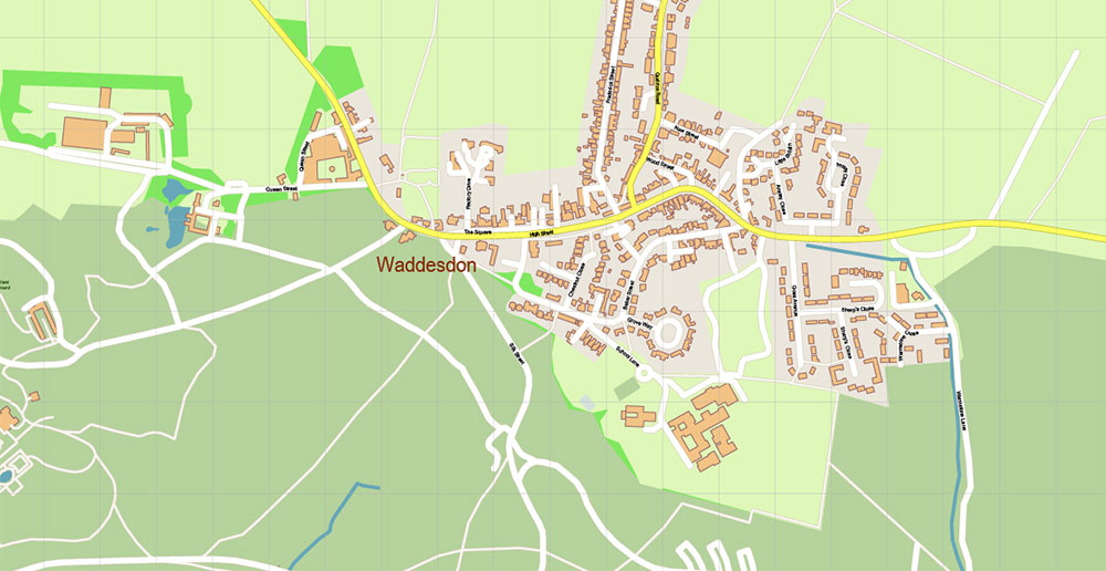
Buckinghamshire UK Map Vector Exact County Plan High Detailed Street Map + Admin editable Adobe Illustrator in layers
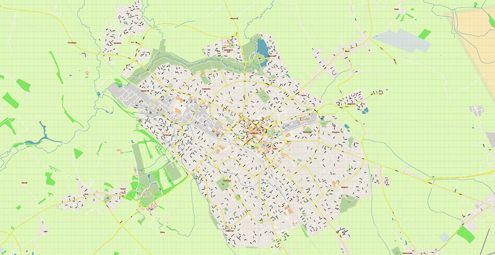
Buckinghamshire UK Map Vector Exact County Plan High Detailed Street Map + Admin editable Adobe Illustrator in layers
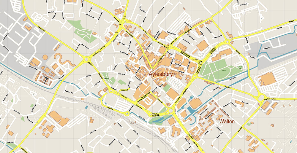
Buckinghamshire UK Map Vector Exact County Plan High Detailed Street Map + Admin editable Adobe Illustrator in layers
Buckinghamshire UK Map Vector Exact County Plan High Detailed Street Map + Admin editable Adobe Illustrator in layers
Buckinghamshire UK Map Vector Exact County Plan High Detailed Street Map + Admin editable Adobe Illustrator in layers

Buckinghamshire UK Map Vector Exact County Plan High Detailed Street Map + Admin editable Adobe Illustrator in layers
Buckinghamshire UK Map Vector Exact County Plan High Detailed Street Map + Admin editable Adobe Illustrator in layers
Buckinghamshire UK Map Vector Exact County Plan High Detailed Street Map + Admin editable Adobe Illustrator in layers
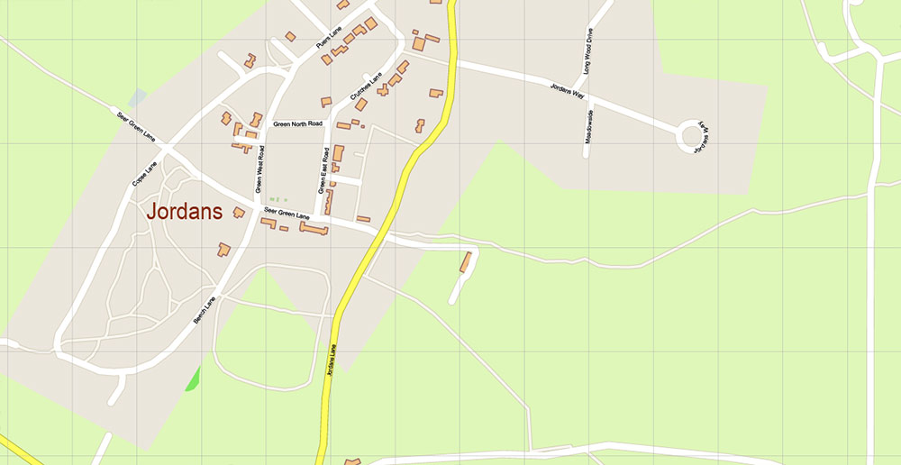
Buckinghamshire UK Map Vector Exact County Plan High Detailed Street Map + Admin editable Adobe Illustrator in layers
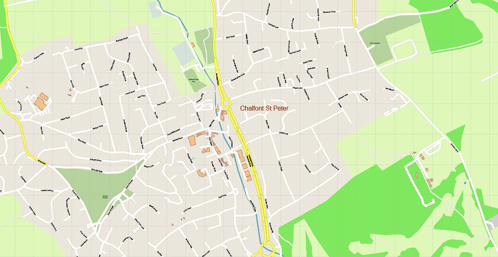
Buckinghamshire UK Map Vector Exact County Plan High Detailed Street Map + Admin editable Adobe Illustrator in layers
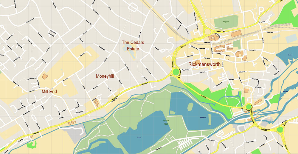
Buckinghamshire UK Map Vector Exact County Plan High Detailed Street Map + Admin editable Adobe Illustrator in layers

Buckinghamshire UK Map Vector Exact County Plan High Detailed Street Map + Admin editable Adobe Illustrator in layers
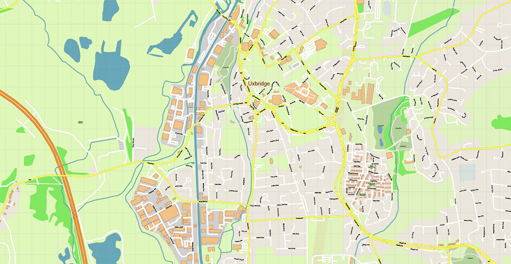
Buckinghamshire UK Map Vector Exact County Plan High Detailed Street Map + Admin editable Adobe Illustrator in layers
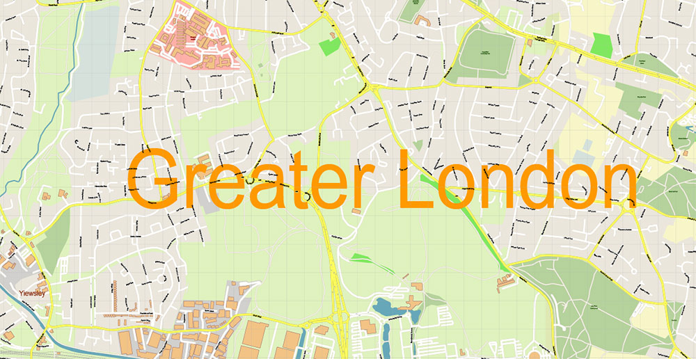
Buckinghamshire UK Map Vector Exact County Plan High Detailed Street Map + Admin editable Adobe Illustrator in layers
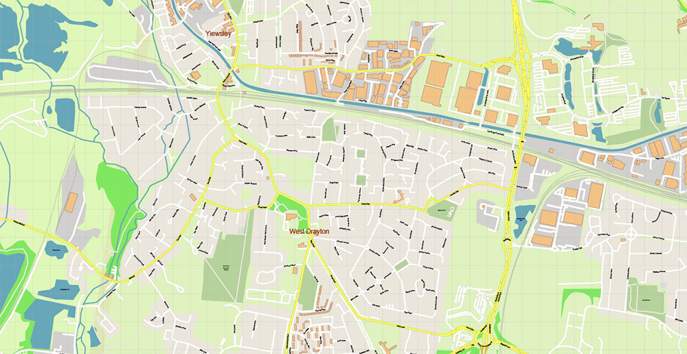
Buckinghamshire UK Map Vector Exact County Plan High Detailed Street Map + Admin editable Adobe Illustrator in layers
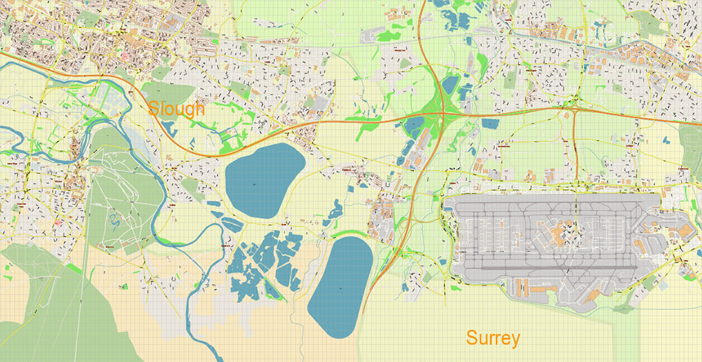
Buckinghamshire UK Map Vector Exact County Plan High Detailed Street Map + Admin editable Adobe Illustrator in layers
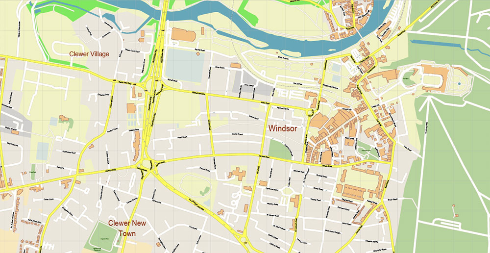
Buckinghamshire UK Map Vector Exact County Plan High Detailed Street Map + Admin editable Adobe Illustrator in layers
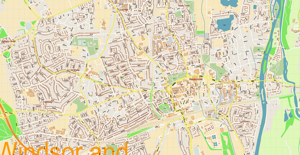
Buckinghamshire UK Map Vector Exact County Plan High Detailed Street Map + Admin editable Adobe Illustrator in layers
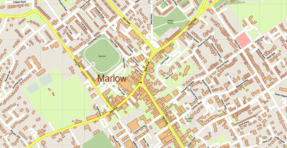
Buckinghamshire UK Map Vector Exact County Plan High Detailed Street Map + Admin editable Adobe Illustrator in layers
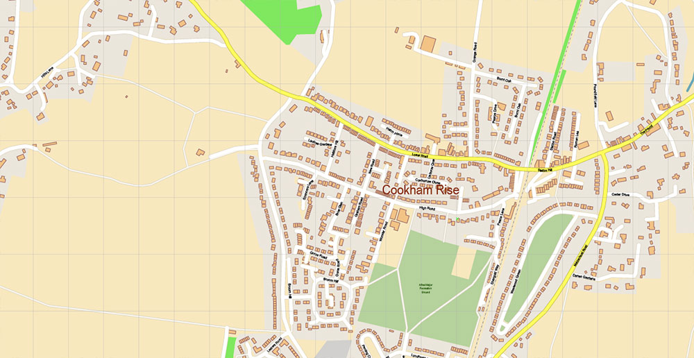
Buckinghamshire UK Map Vector Exact County Plan High Detailed Street Map + Admin editable Adobe Illustrator in layers
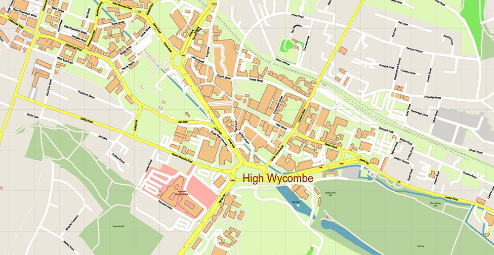
Buckinghamshire UK Map Vector Exact County Plan High Detailed Street Map + Admin editable Adobe Illustrator in layers
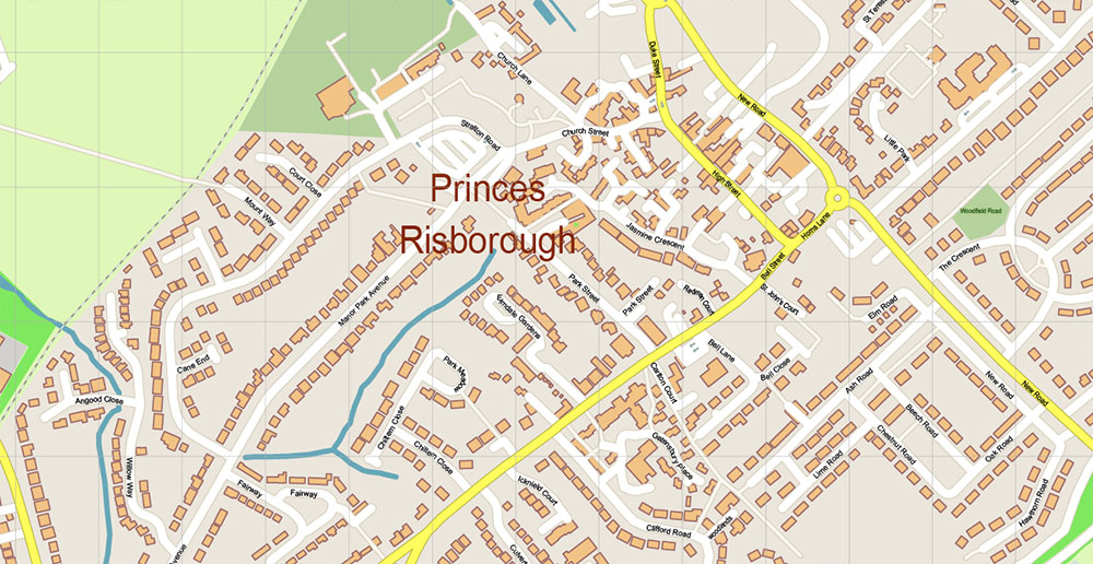
Buckinghamshire UK Map Vector Exact County Plan High Detailed Street Map + Admin editable Adobe Illustrator in layers


 Author: Kirill Shrayber, Ph.D. FRGS