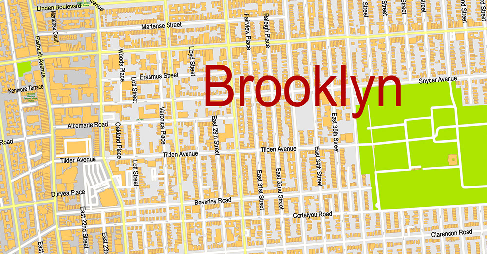
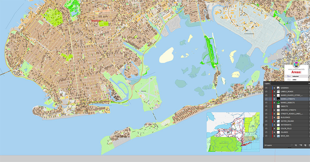
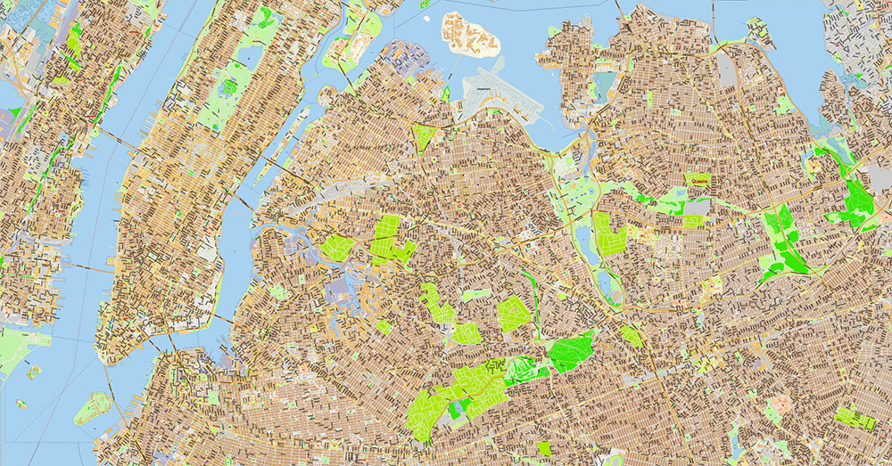
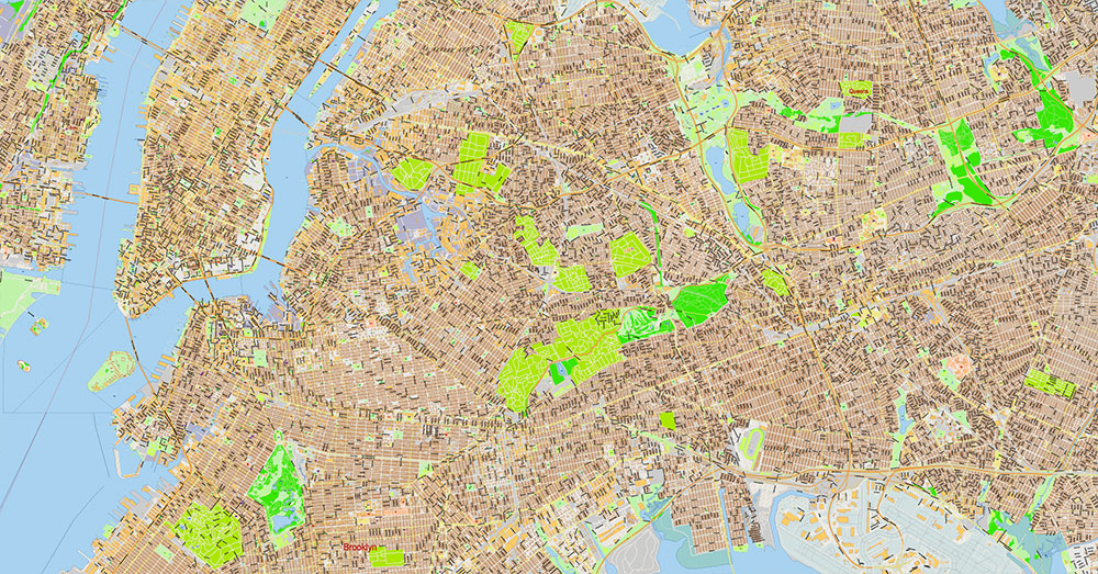
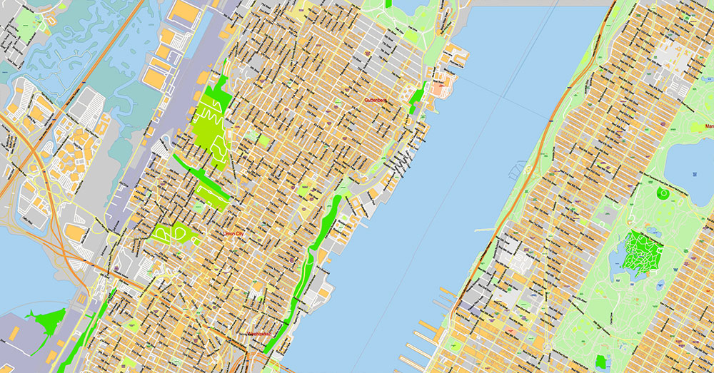
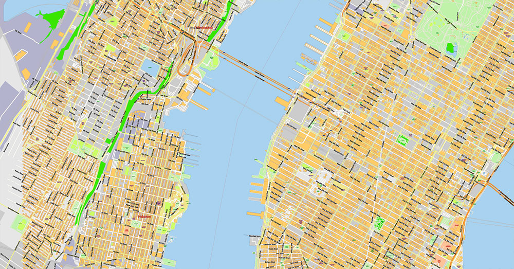
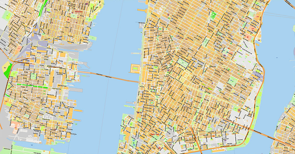
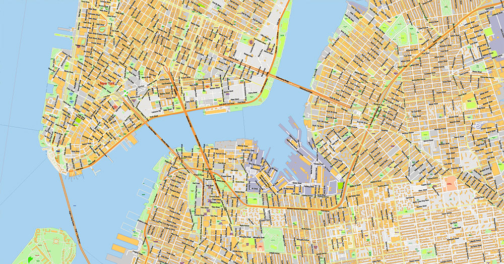
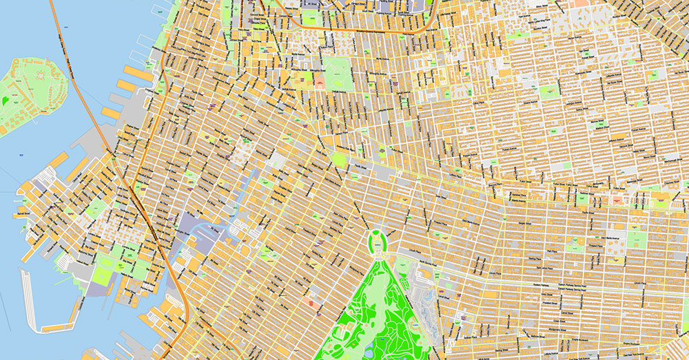
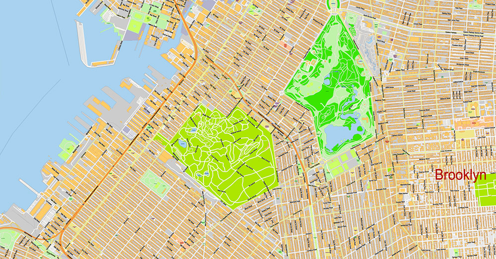
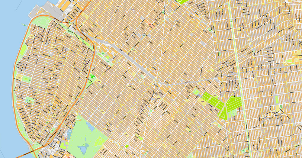
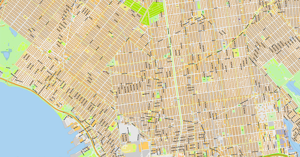
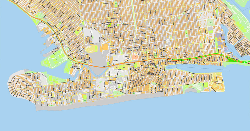
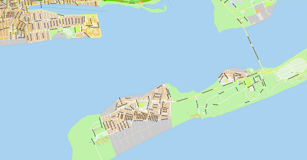
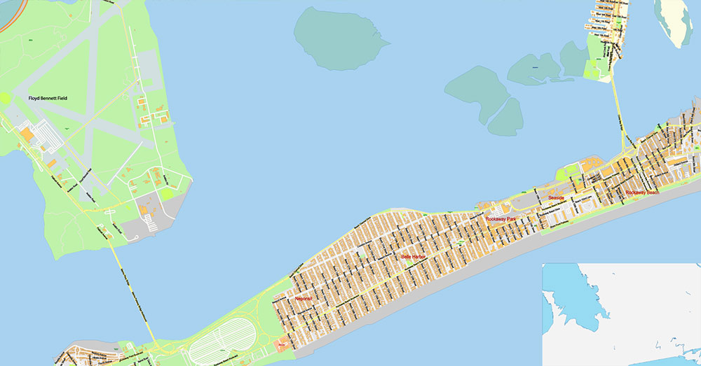
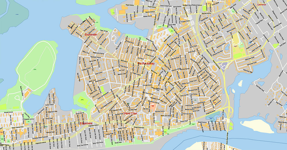
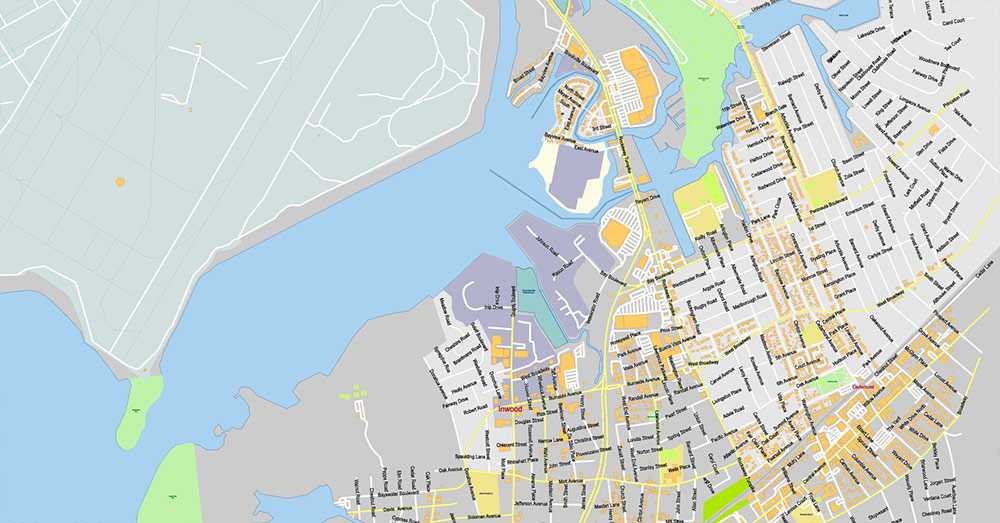
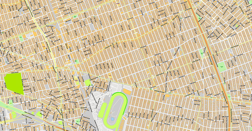
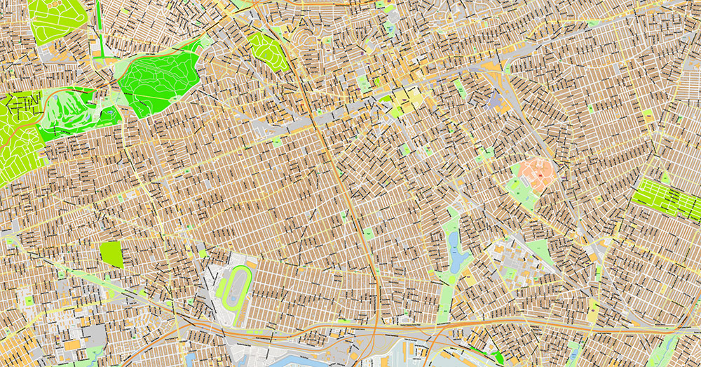
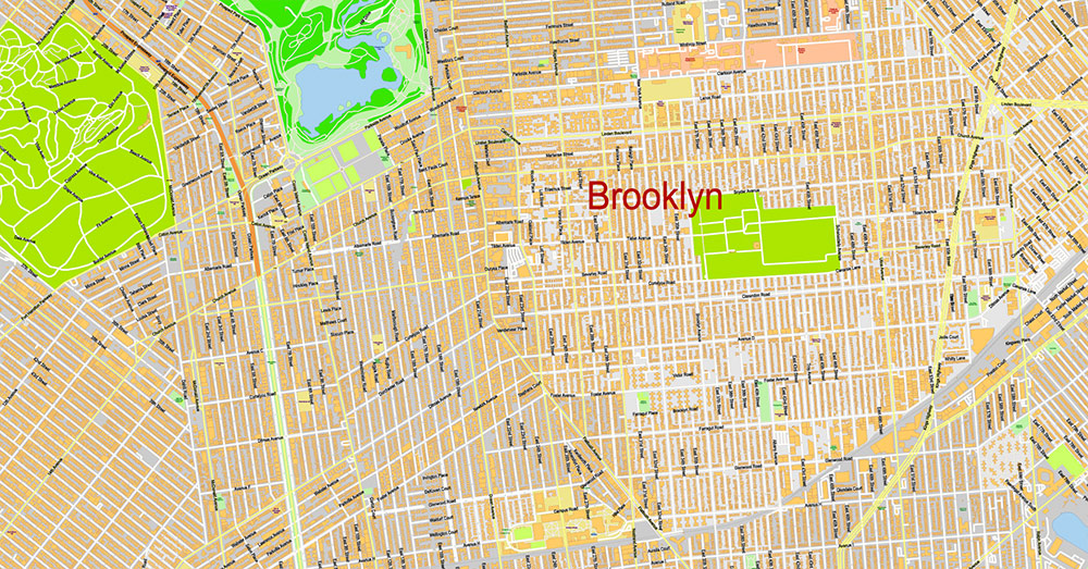
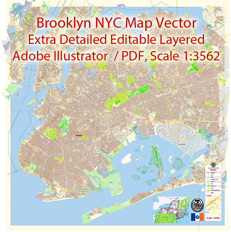
Printable Vector Map of Brooklyn New York US extra detailed City Plan scale 100 m 1:3562 Large Fonts 300% fully editable Adobe Illustrator Street Map in layers, scalable, text/curves format all names, 117 MB ZIP
All street names, Main Objects, All Buildings. Map for design, printing, arts, projects, presentations, for architects, designers, and builders, business, logistics.
Layers: color_fills, water, streets_roads, labels_roads, names_objects, names_streets, names_places, arrows_streets, buildings, grids, legend, etc.
The most exact and detailed map of the city in scale.
For Editing and High-Quality Printing
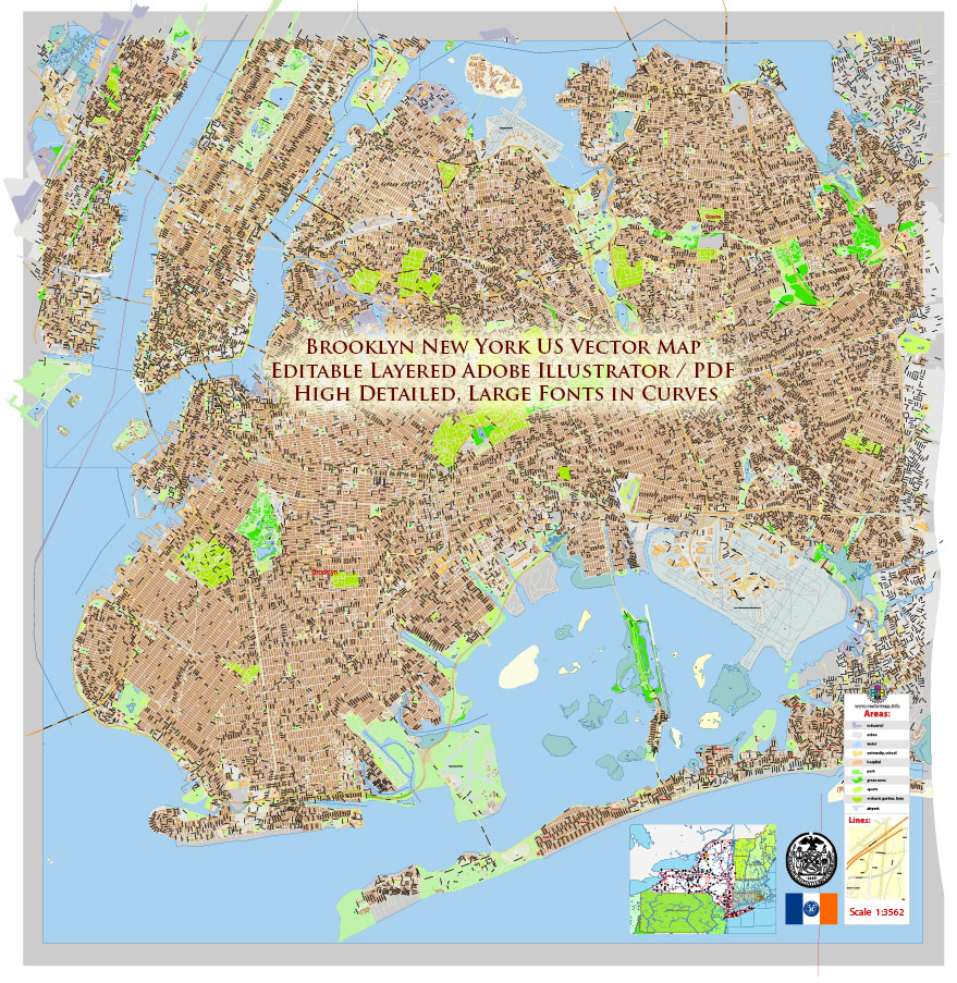
Brooklyn New York US Map Vector Exact City Plan extra detailed Street Map Large Fonts editable Adobe Illustrator in layers
A/O BRIEF – BROOKLYN, NEW YORK
Subject: Area Overview – Geography, Demographics, Infrastructure, and Key Landmarks
Purpose: Rapid situational awareness for operations in the Brooklyn sector
1. Area of Operations
Brooklyn is one of the five boroughs of New York City and occupies the western portion of Long Island. It is the most populous borough in the city and a major residential, commercial, and cultural center.
The borough borders:
Total land area is approximately 71 square miles (183 km²).
2. Geography and Terrain
Terrain is mostly flat to gently rolling urban land, with dense development across nearly the entire borough.
Key geographic features include:
-
East River shoreline along the north and northwest, facing Manhattan
-
Upper New York Bay along the west side
-
Atlantic Ocean coastline along the south, including beaches and boardwalk areas
-
Jamaica Bay wetlands in the southeast
The borough contains several large parks and green spaces that break up the dense urban landscape. Coastal areas include beaches, ports, and recreational waterfront zones.
3. Demographics
Brooklyn has an estimated population of about 2.6 million residents, making it the most populous borough in New York City.
Key demographic characteristics:
-
Highly diverse population with large communities of European, Caribbean, African American, Latino, Middle Eastern, and Asian residents
-
Major immigrant population with dozens of languages spoken
-
Neighborhoods vary widely in income, density, and cultural identity
Major population clusters include:
-
Dense residential blocks in central and southern Brooklyn
-
Mixed residential and commercial zones in the north and west
-
Industrial and port areas along the waterfront
4. Major Transportation Routes
Brooklyn is connected to Manhattan and surrounding regions through a large network of highways, bridges, tunnels, and subway lines.
Primary highways and expressways:
-
Interstate 278 (Brooklyn–Queens Expressway / Gowanus Expressway)
-
Belt Parkway (southern coastal route)
-
Ocean Parkway
-
Eastern Parkway
-
Flatbush Avenue (major north–south corridor)
-
Atlantic Avenue (major east–west corridor)
Major bridges connecting to Manhattan:
-
Brooklyn Bridge
-
Manhattan Bridge
-
Williamsburg Bridge
These crossings are critical commuter and freight routes.
Public transportation includes extensive subway lines, commuter rail connections, and bus networks.
5. Airports
Brooklyn does not contain a major commercial airport within its boundaries but is served by nearby regional airports:
-
John F. Kennedy International Airport (JFK) – approximately 10–15 miles southeast; primary international gateway for New York City
-
LaGuardia Airport – located in Queens, northeast of Brooklyn
-
Newark Liberty International Airport – located in New Jersey, west of Manhattan
JFK is the primary airport used by Brooklyn residents and visitors.
6. Key Landmarks and Points of Interest
Brooklyn contains several major cultural, historical, and recreational sites:
Brooklyn Bridge
Historic suspension bridge connecting Brooklyn to Manhattan; major tourist attraction and transportation route.
Prospect Park
Large urban park in central Brooklyn with lakes, forested areas, and recreational facilities.
Brooklyn Museum
One of the largest art museums in the United States.
Brooklyn Botanic Garden
Major botanical garden known for seasonal cherry blossom displays.
Coney Island
Historic seaside entertainment district with beaches, amusement parks, and boardwalk.
Barclays Center
Large indoor arena hosting sports events, concerts, and entertainment.
Brooklyn Heights Promenade
Waterfront walkway offering panoramic views of the Manhattan skyline.
7. Operational Considerations
-
Extremely dense urban environment with heavy pedestrian and vehicle traffic
-
Complex transportation network including bridges, tunnels, subway infrastructure, and highways
-
Coastal zones vulnerable to storm surge and flooding during severe weather
-
Large daily commuter population moving between Brooklyn and Manhattan
Assessment:
Brooklyn is a densely populated urban borough with extensive transportation infrastructure, diverse communities, and numerous major cultural landmarks. Its waterfront geography, bridge connections, and proximity to major airports make it a critical part of the New York metropolitan region.
Brooklyn New York US Map Vector Exact City Plan extra detailed Street Map Large Fonts editable Adobe Illustrator in layers
Brooklyn New York US Map Vector Exact City Plan extra detailed Street Map Large Fonts editable Adobe Illustrator in layers
Brooklyn New York US Map Vector Exact City Plan extra detailed Street Map Large Fonts editable Adobe Illustrator in layers
Brooklyn New York US Map Vector Exact City Plan extra detailed Street Map Large Fonts editable Adobe Illustrator in layers
Brooklyn New York US Map Vector Exact City Plan extra detailed Street Map Large Fonts editable Adobe Illustrator in layers
Brooklyn New York US Map Vector Exact City Plan extra detailed Street Map Large Fonts editable Adobe Illustrator in layers
Brooklyn New York US Map Vector Exact City Plan extra detailed Street Map Large Fonts editable Adobe Illustrator in layers
Brooklyn New York US Map Vector Exact City Plan extra detailed Street Map Large Fonts editable Adobe Illustrator in layers
Brooklyn New York US Map Vector Exact City Plan extra detailed Street Map Large Fonts editable Adobe Illustrator in layers
Brooklyn New York US Map Vector Exact City Plan extra detailed Street Map Large Fonts editable Adobe Illustrator in layers
Brooklyn New York US Map Vector Exact City Plan extra detailed Street Map Large Fonts editable Adobe Illustrator in layers
Brooklyn New York US Map Vector Exact City Plan extra detailed Street Map Large Fonts editable Adobe Illustrator in layers
Brooklyn New York US Map Vector Exact City Plan extra detailed Street Map Large Fonts editable Adobe Illustrator in layers
Brooklyn New York US Map Vector Exact City Plan extra detailed Street Map Large Fonts editable Adobe Illustrator in layers
Brooklyn New York US Map Vector Exact City Plan extra detailed Street Map Large Fonts editable Adobe Illustrator in layers
Brooklyn New York US Map Vector Exact City Plan extra detailed Street Map Large Fonts editable Adobe Illustrator in layers
Brooklyn New York US Map Vector Exact City Plan extra detailed Street Map Large Fonts editable Adobe Illustrator in layers

Brooklyn New York US Map Vector Exact City Plan extra detailed Street Map Large Fonts editable Adobe Illustrator in layers
Brooklyn New York US Map Vector Exact City Plan extra detailed Street Map Large Fonts editable Adobe Illustrator in layers
Brooklyn New York US Map Vector Exact City Plan extra detailed Street Map Large Fonts editable Adobe Illustrator in layers
Brooklyn New York US Map Vector Exact City Plan extra detailed Street Map Large Fonts editable Adobe Illustrator in layers
Author Rating
Aggregate Rating
1.5 based on 416 votes
@vectormapper
Product Name Brooklyn New York Map Vector Exact City Plan extra detailed Street Map editable Adobe Illustrator in layers
Price
USD 73
Product Availability
Available in Stock


 Author: Kirill Shrayber, Ph.D. FRGS


