Extended Description of the Vector Map
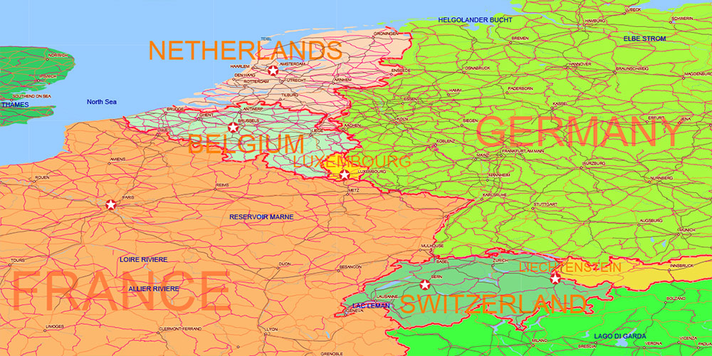
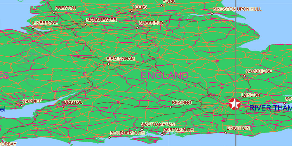
Printable World Political Map 2022, extra high detailed in Lambert Cylindrical Equal-Area Projection fully editable, Adobe Illustrator, full vector, scalable, editable text format names, 39 mb ZIP
All Countries and disputed territories, Map for design, printing, arts, projects, presentations, for architects, designers and builders, business, logistics, education.
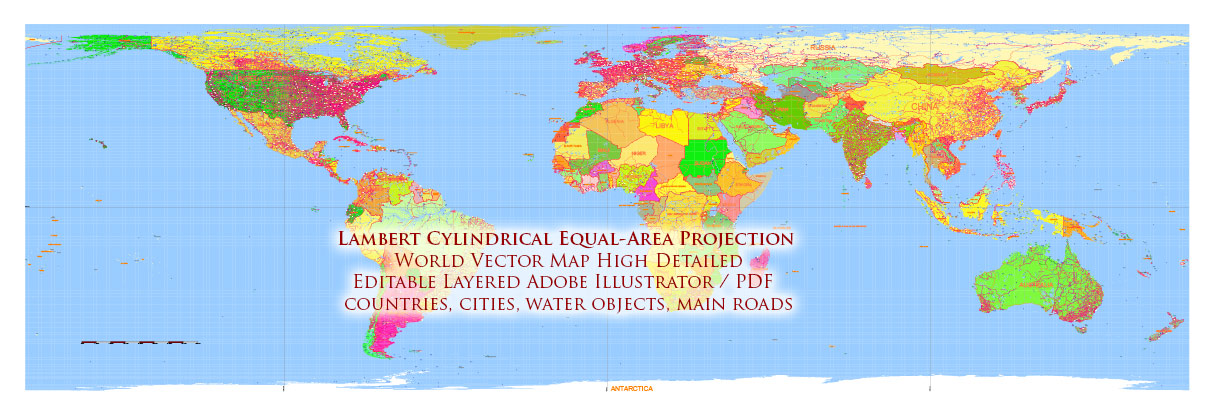
World Lambert Cylindrical Equal-Area Projection Political Vector Map High detailed fully editable, Adobe Illustrator
Layers:
- Legend and Scale
- Grids
- Capitals points (vector icons)
- Main cities points
- Main Cities names
- Islands names
- State names
- Country names
- Principal roads
- Names Water objects
- Water objects (areas) 1
- Water objects (areas) 2
- Waterways
- Country boundaries
- State boundaries
- Disputer areas (2022)
- Land areas (colored country areas)
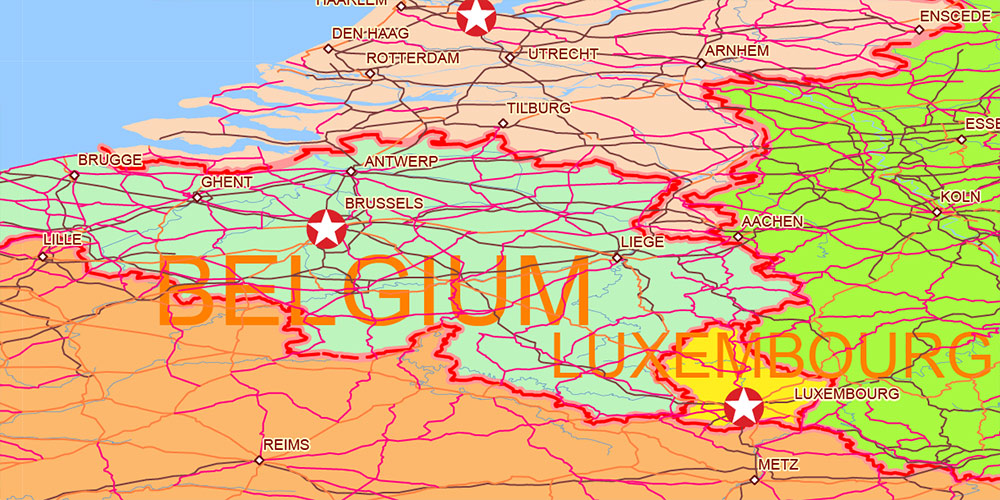
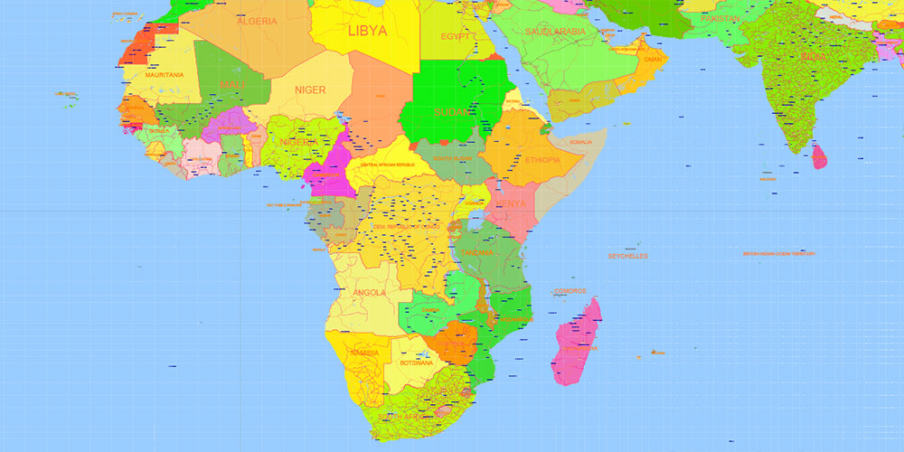
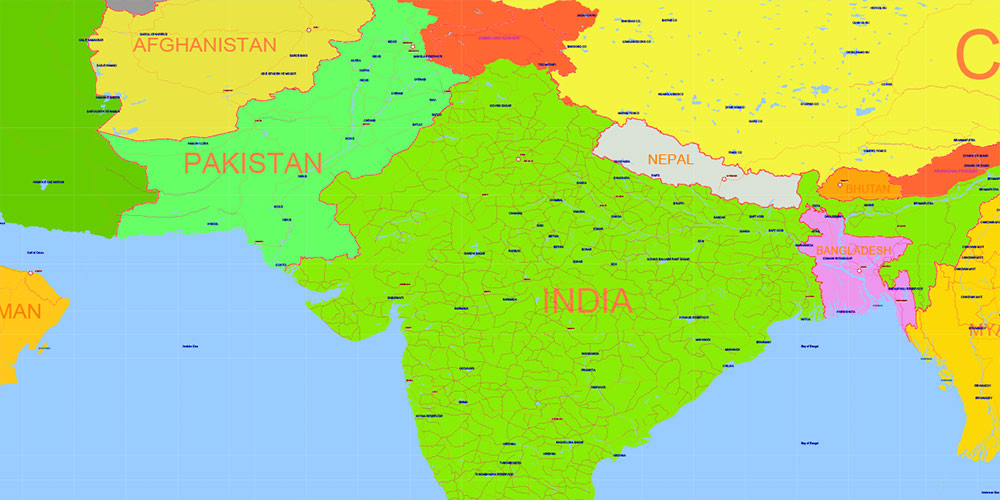
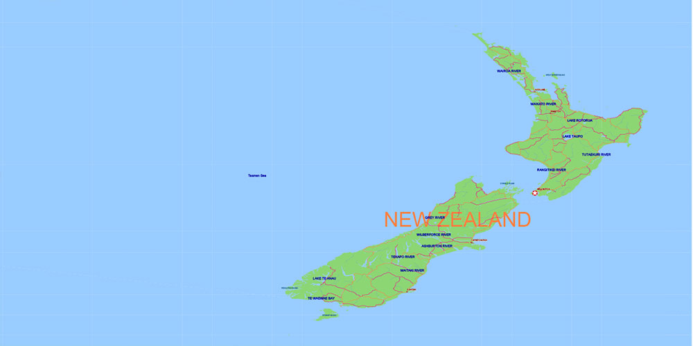
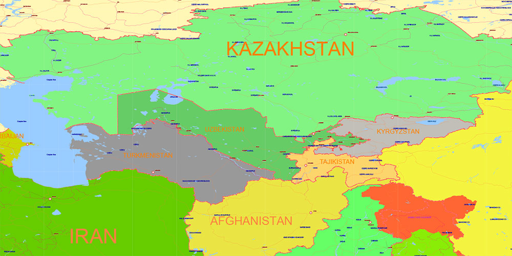
World Lambert Cylindrical Equal-Area Projection Political Vector Map High detailed fully editable, Adobe Illustrator
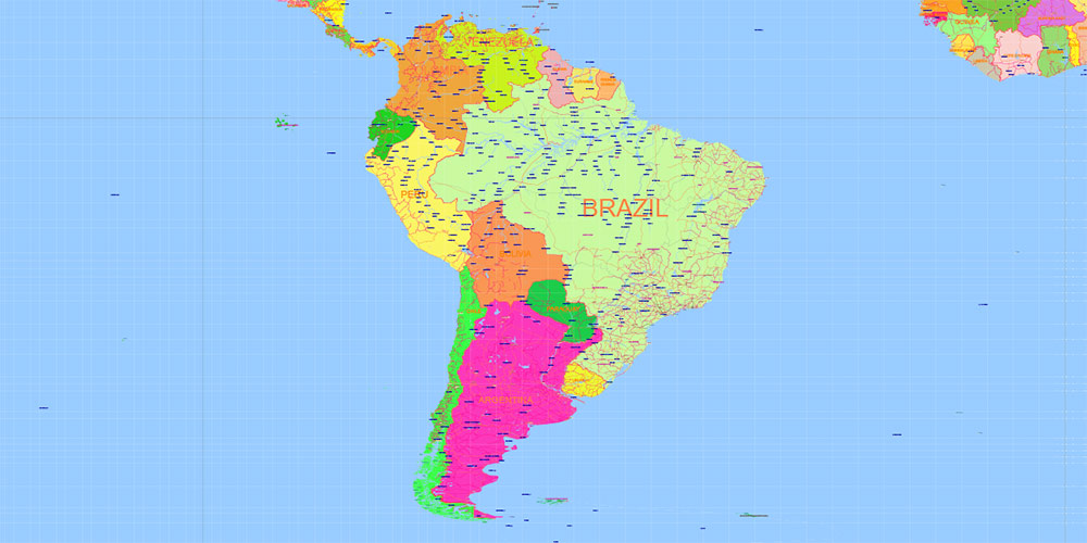
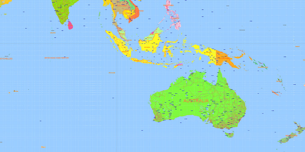
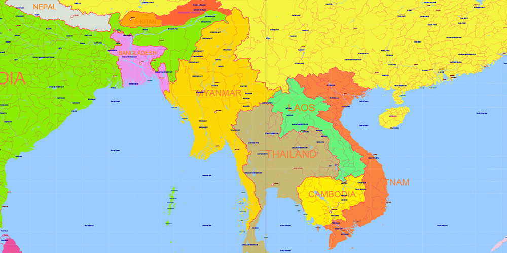
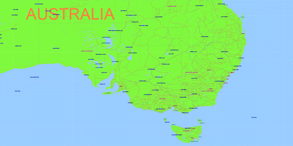
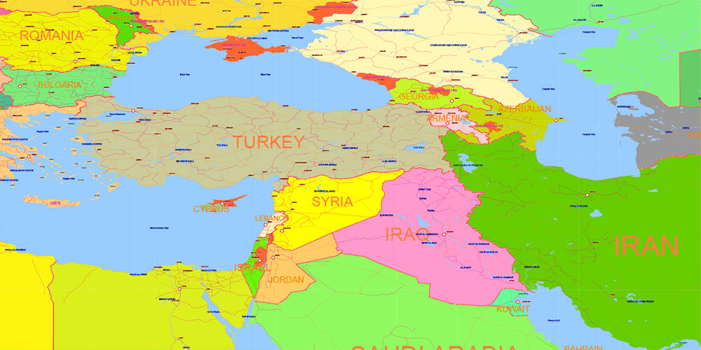
World Lambert Cylindrical Equal-Area Projection Political Vector Map High detailed fully editable, Adobe Illustrator
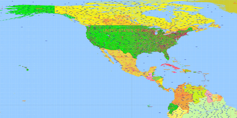
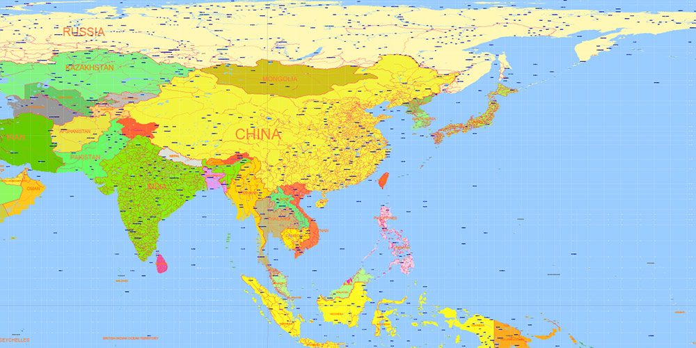
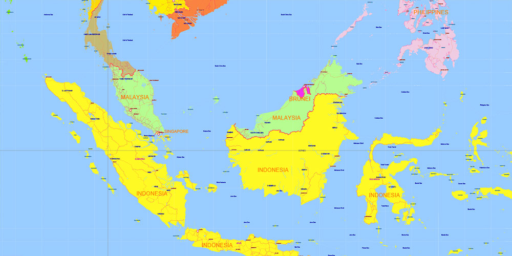
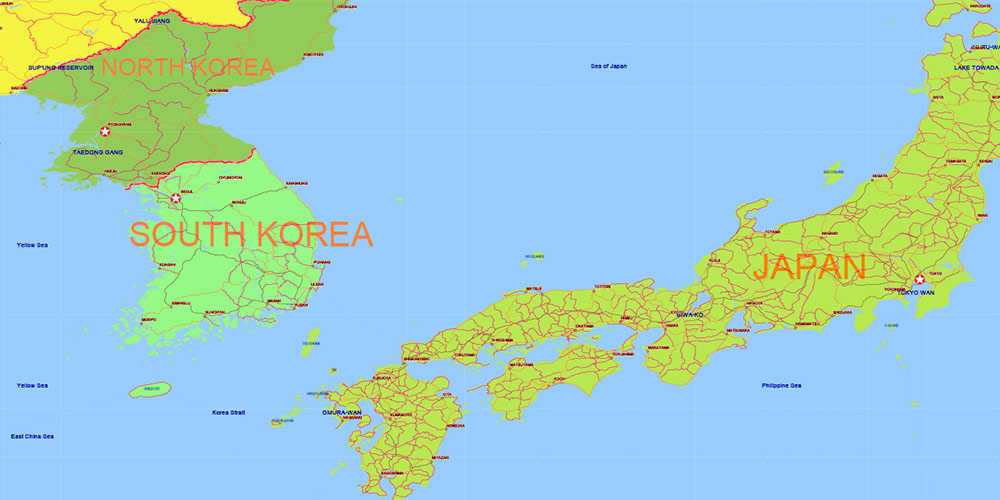
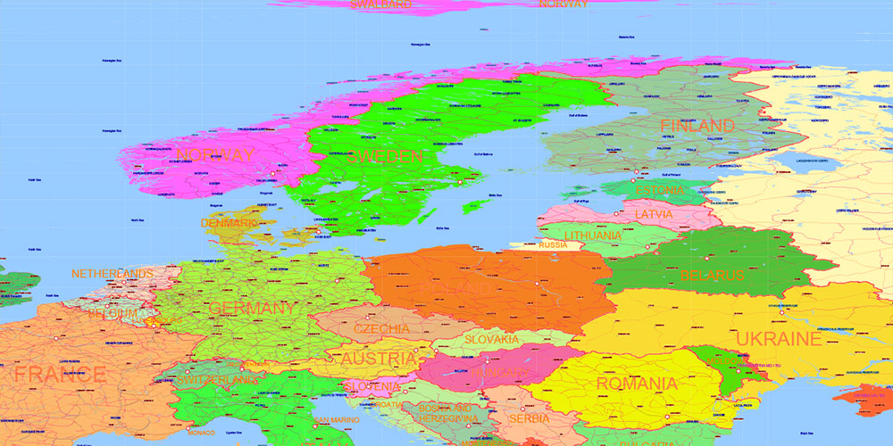
World Lambert Cylindrical Equal-Area Projection Political Vector Map High detailed fully editable, Adobe Illustrator
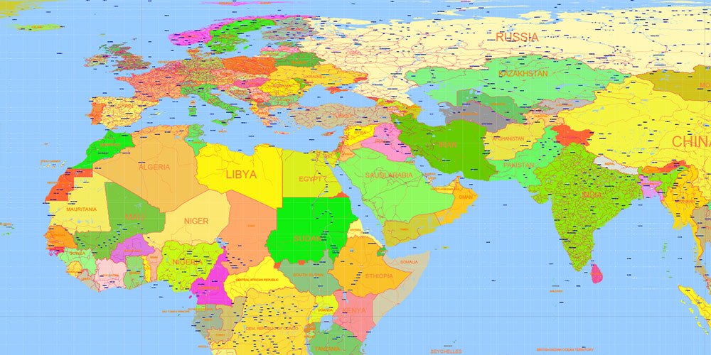
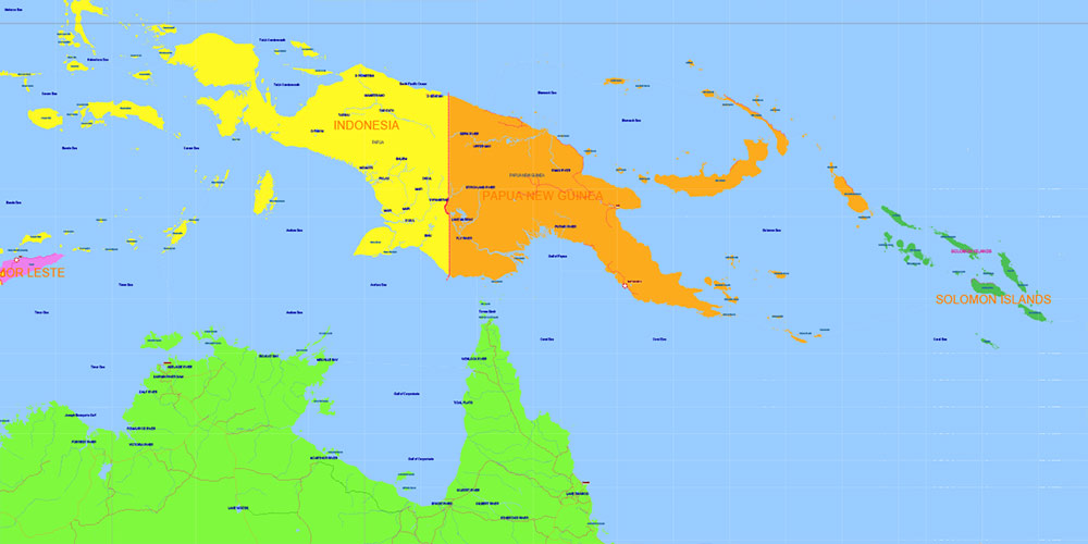
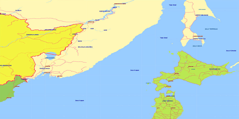
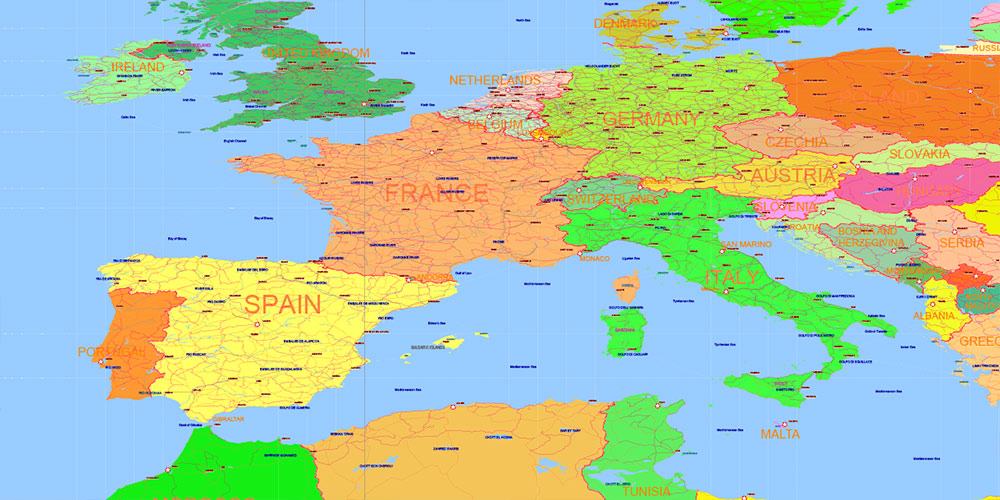
World Lambert Cylindrical Equal-Area Projection Political Vector Map High detailed fully editable, Adobe Illustrator
World Lambert Cylindrical Equal-Area Projection Political Vector Map High detailed fully editable, Adobe Illustrator
World Lambert Cylindrical Equal-Area Projection Political Vector Map High detailed fully editable, Adobe Illustrator
World Lambert Cylindrical Equal-Area Projection Political Vector Map High detailed fully editable, Adobe Illustrator
World Lambert Cylindrical Equal-Area Projection Political Vector Map High detailed fully editable, Adobe Illustrator
World Lambert Cylindrical Equal-Area Projection Political Vector Map High detailed fully editable, Adobe Illustrator
World Lambert Cylindrical Equal-Area Projection Political Vector Map High detailed fully editable, Adobe Illustrator
World Lambert Cylindrical Equal-Area Projection Political Vector Map High detailed fully editable, Adobe Illustrator
World Lambert Cylindrical Equal-Area Projection Political Vector Map High detailed fully editable, Adobe Illustrator
World Lambert Cylindrical Equal-Area Projection Political Vector Map High detailed fully editable, Adobe Illustrator
World Lambert Cylindrical Equal-Area Projection Political Vector Map High detailed fully editable, Adobe Illustrator
World Lambert Cylindrical Equal-Area Projection Political Vector Map High detailed fully editable, Adobe Illustrator
World Lambert Cylindrical Equal-Area Projection Political Vector Map High detailed fully editable, Adobe Illustrator
World Lambert Cylindrical Equal-Area Projection Political Vector Map High detailed fully editable, Adobe Illustrator
World Lambert Cylindrical Equal-Area Projection Political Vector Map High detailed fully editable, Adobe Illustrator
World Lambert Cylindrical Equal-Area Projection Political Vector Map High detailed fully editable, Adobe Illustrator
World Lambert Cylindrical Equal-Area Projection Political Vector Map High detailed fully editable, Adobe Illustrator
World Lambert Cylindrical Equal-Area Projection Political Vector Map High detailed fully editable, Adobe Illustrator

 Author: Kirill Shrayber, Ph.D. FRGS
