Extended Description of the Vector Map
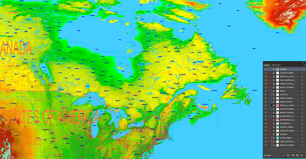
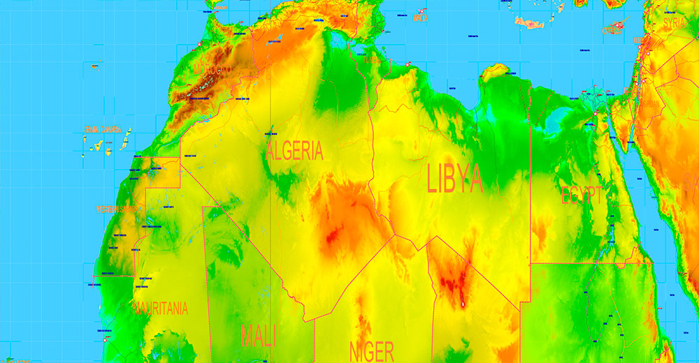
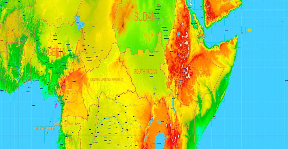
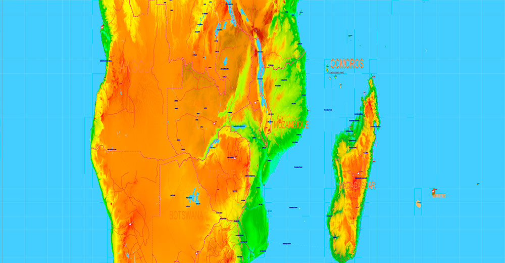
Printable World Political, Roads and Relief Map 2026, extra high detailed in Gall-Peters Projection fully editable, Adobe Illustrator, full vector, scalable, editable text format names, 67 mb ZIP
All Countries and disputed territories/ Colored Relief Raster JPG, Map for design, printing, arts, projects, presentations, for architects, designers and builders, business, logistics, education.
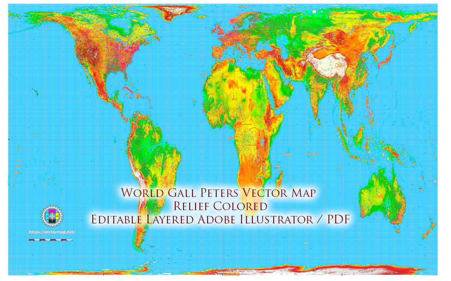
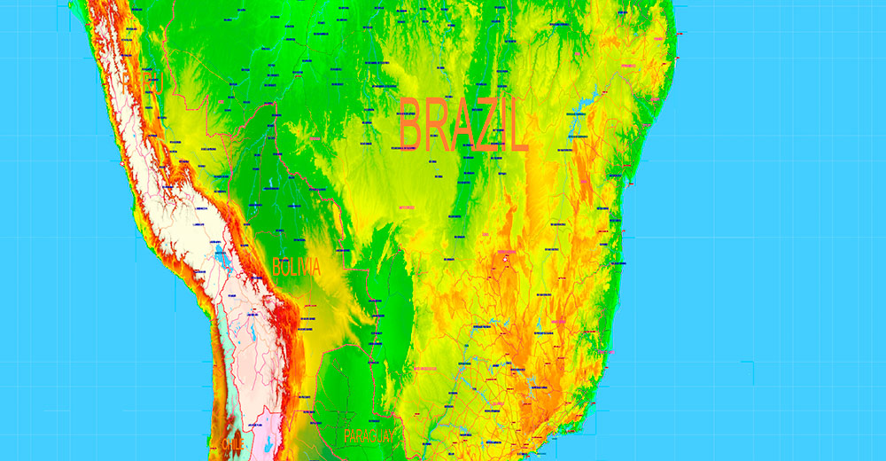
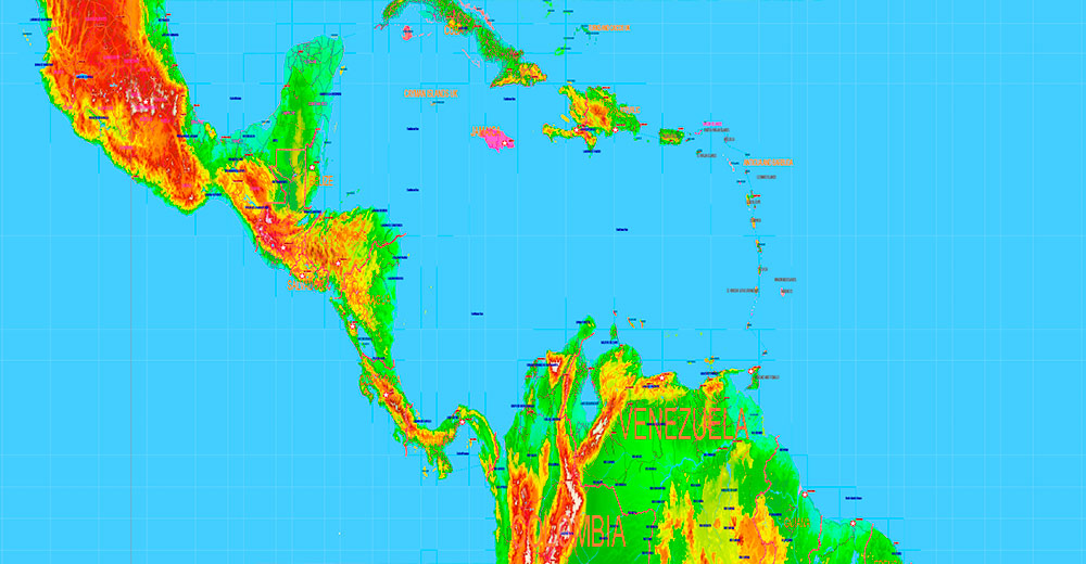
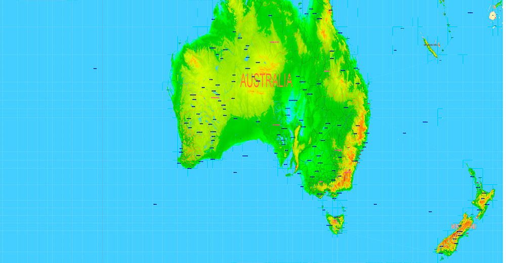
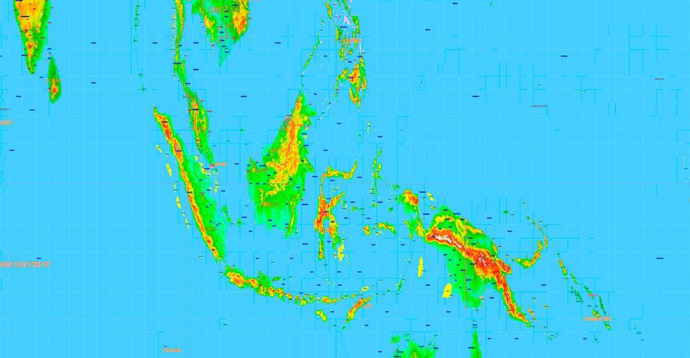
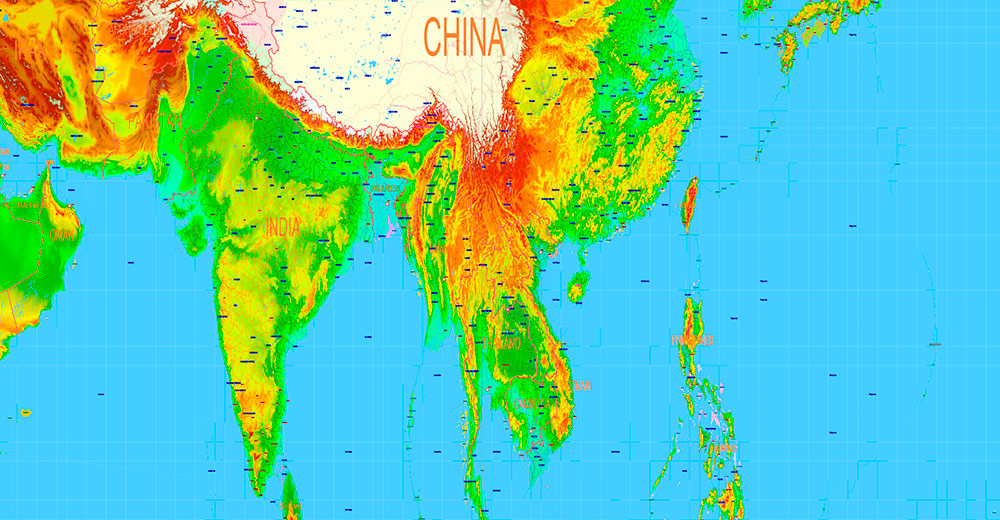
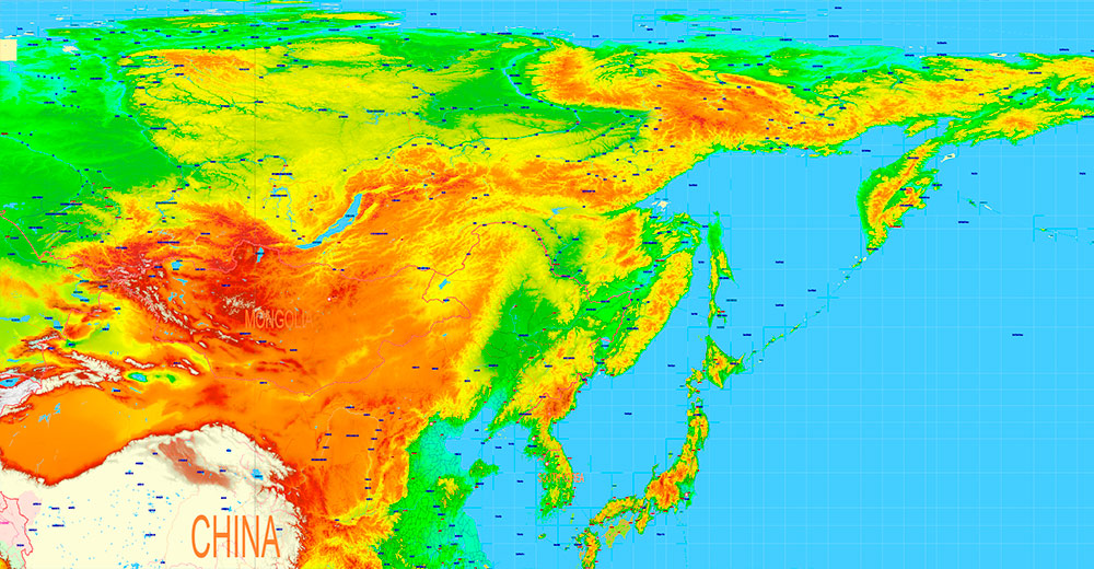
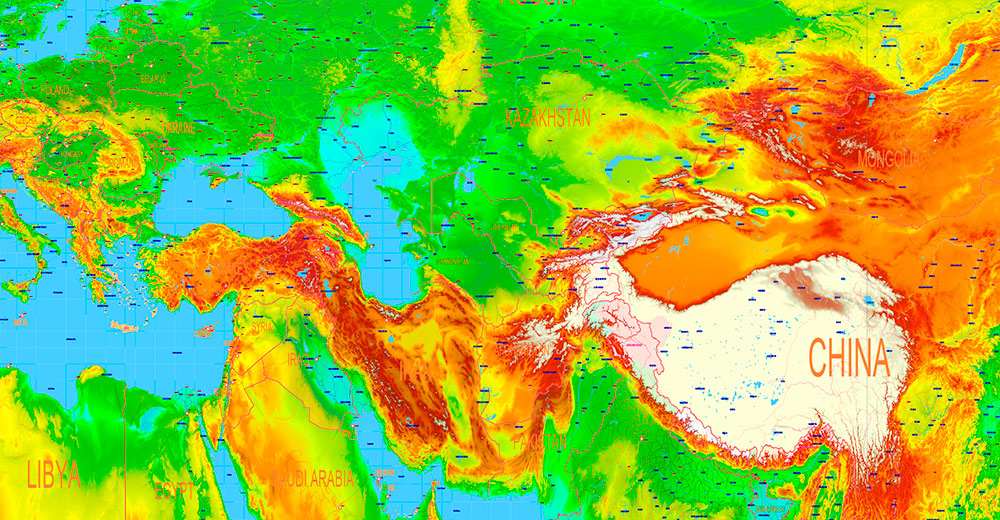
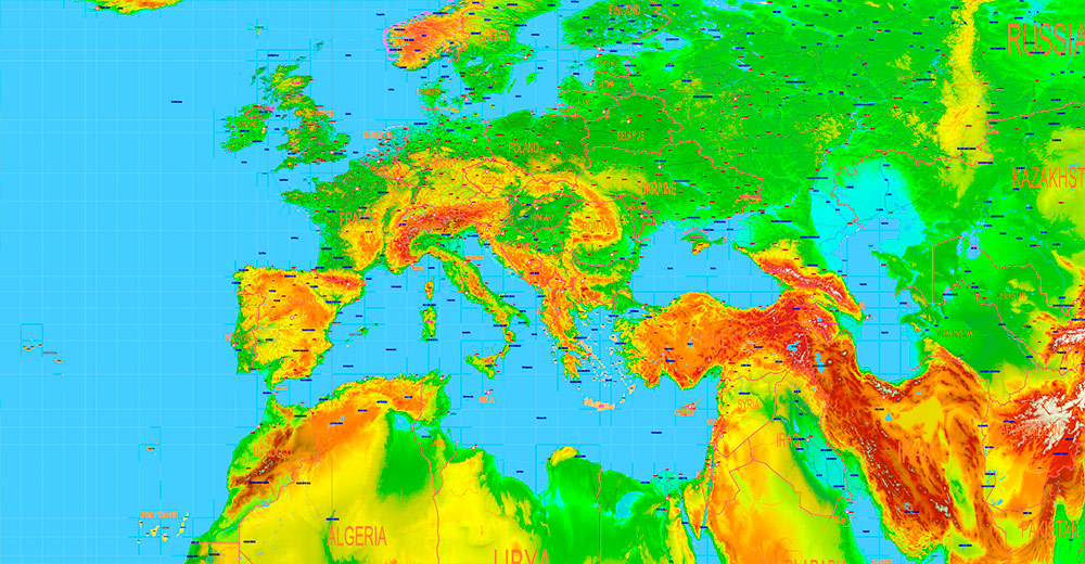
World Gall-Peters Projection Colored Relief Political Map High detailed fully editable Adobe Illustrator
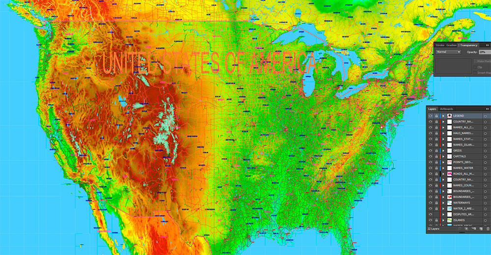
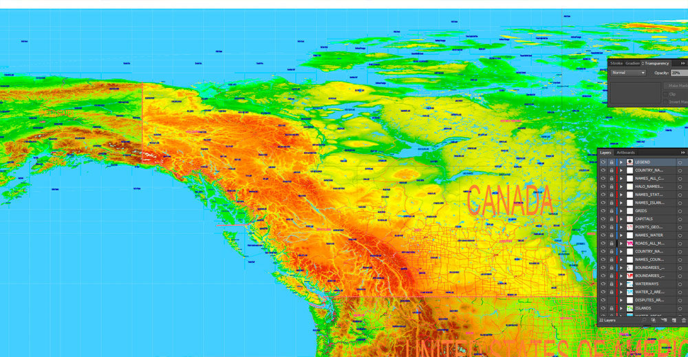
Layers:
- Legend and Scale
- Grids
- Capitals points (vector icons)
- Main cities points
- Main Cities names
- Islands names
- State names
- Country names
- Principal roads
- Names Water objects
- Water objects (areas) 1
- Water objects (areas) 2
- Waterways
- Country boundaries
- State boundaries
- Disputer areas (2026)
- Land areas (colored country areas)
- Colored Relief Raster JPG
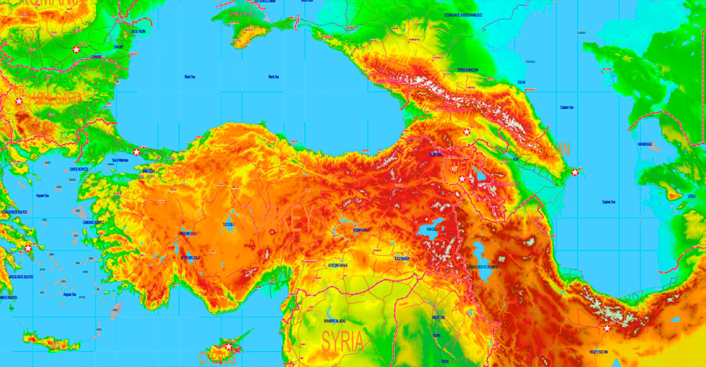
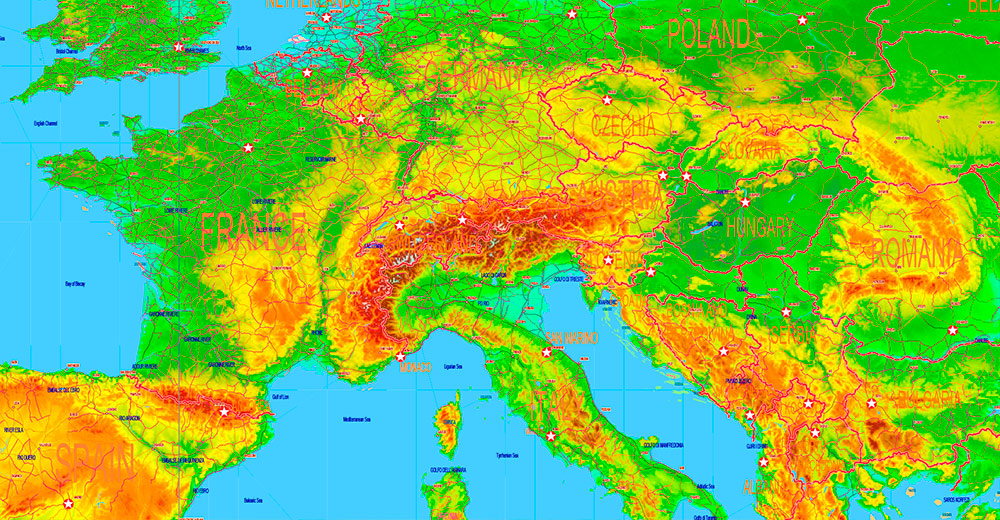
World Gall-Peters Projection Colored Relief Political Map High detailed fully editable Adobe Illustrator
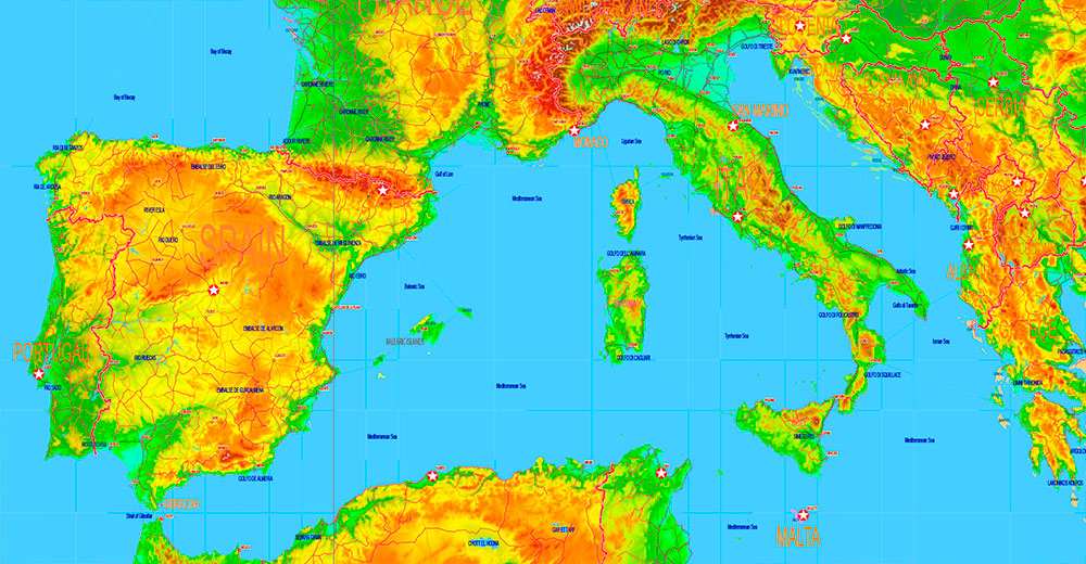
World Gall-Peters Projection Colored Relief Political Map High detailed fully editable Adobe Illustrator
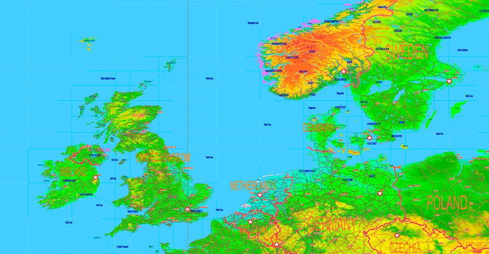
World Gall-Peters Projection Colored Relief Political Map High detailed fully editable Adobe Illustrator
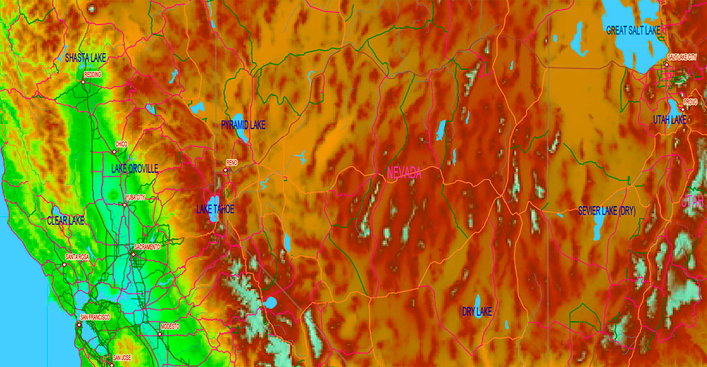
World Gall-Peters Projection Colored Relief Political Map High detailed fully editable Adobe Illustrator
World Gall-Peters Projection Colored Relief Political Map High detailed fully editable Adobe Illustrator
World Gall-Peters Projection Colored Relief Political Map High detailed fully editable Adobe Illustrator
World Gall-Peters Projection Colored Relief Political Map High detailed fully editable Adobe Illustrator
World Gall-Peters Projection Colored Relief Political Map High detailed fully editable Adobe Illustrator
World Gall-Peters Projection Colored Relief Political Map High detailed fully editable Adobe Illustrator
World Gall-Peters Projection Colored Relief Political Map High detailed fully editable Adobe Illustrator
World Gall-Peters Projection Colored Relief Political Map High detailed fully editable Adobe Illustrator
World Gall-Peters Projection Colored Relief Political Map High detailed fully editable Adobe Illustrator
World Gall-Peters Projection Colored Relief Political Map High detailed fully editable Adobe Illustrator
World Gall-Peters Projection Colored Relief Political Map High detailed fully editable Adobe Illustrator
World Gall-Peters Projection Colored Relief Political Map High detailed fully editable Adobe Illustrator
World Gall-Peters Projection Colored Relief Political Map High detailed fully editable Adobe Illustrator
World Gall-Peters Projection Colored Relief Political Map High detailed fully editable Adobe Illustrator
World Gall-Peters Projection Colored Relief Political Map High detailed fully editable Adobe Illustrator
World Gall-Peters Projection Colored Relief Political Map High detailed fully editable Adobe Illustrator

 Author: Kirill Shrayber, Ph.D. FRGS


