Extended Description of the Vector Map
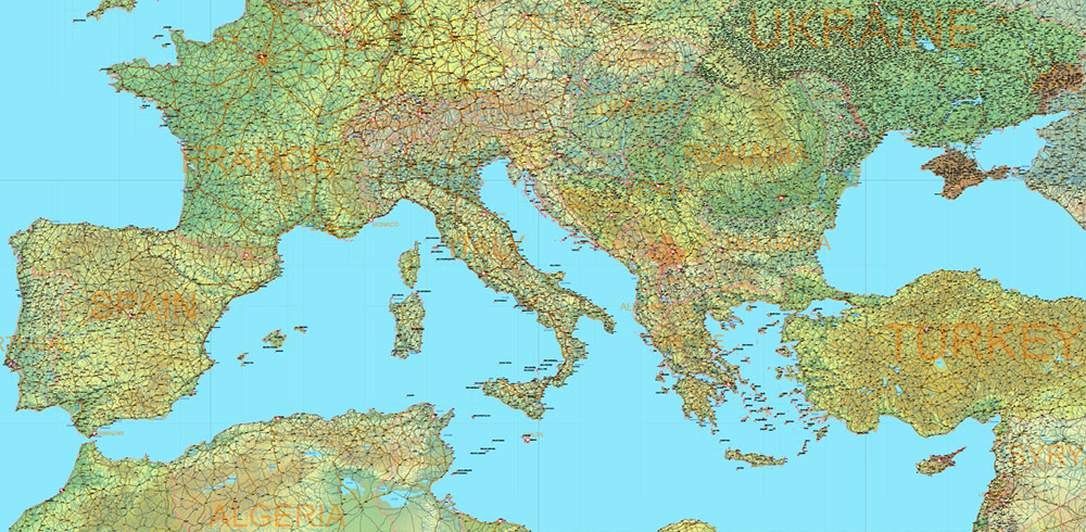
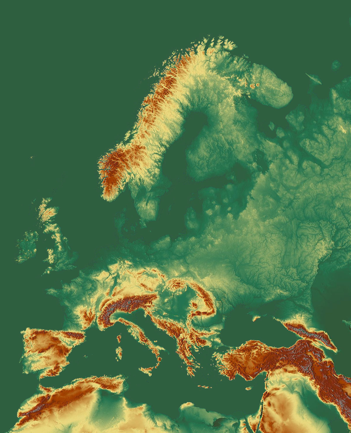
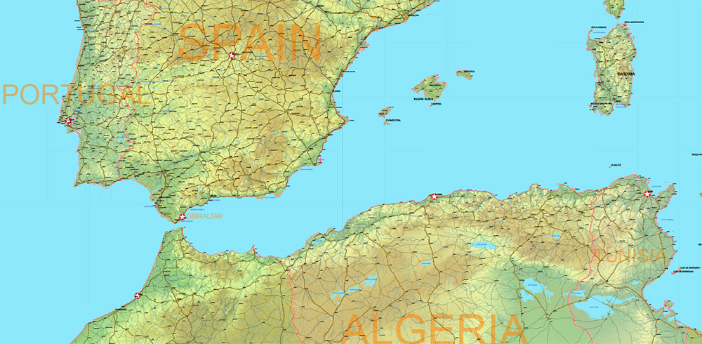
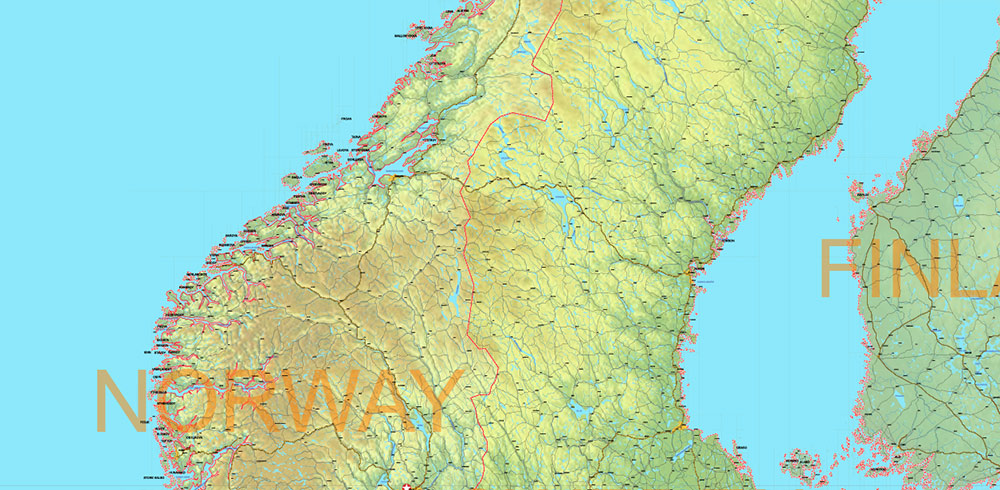
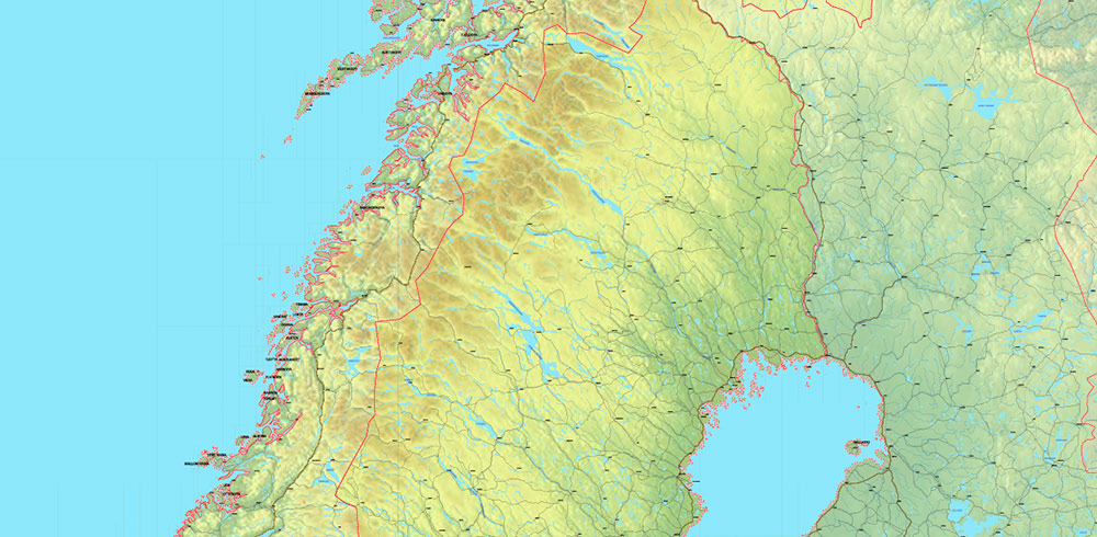
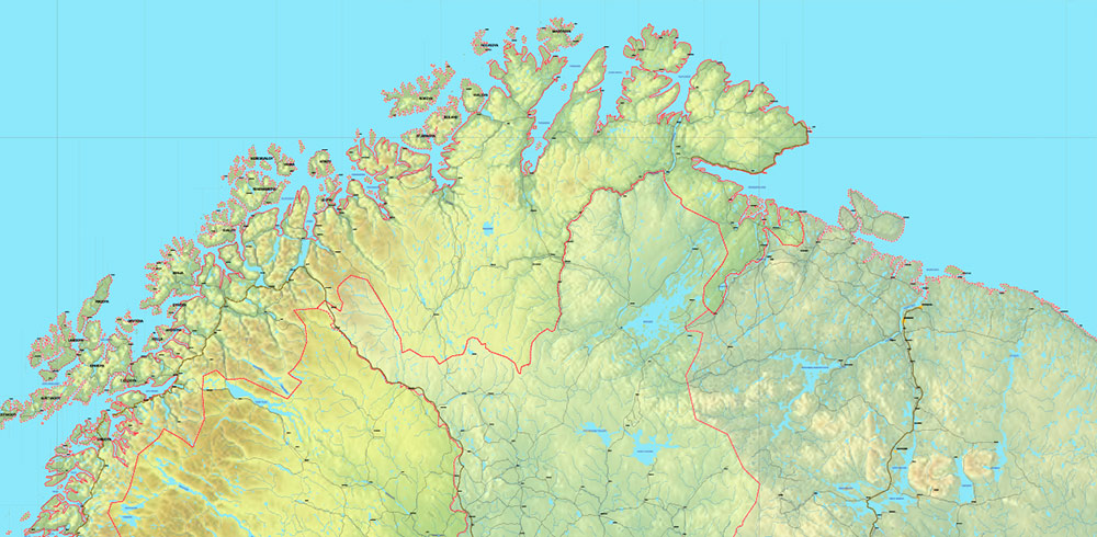
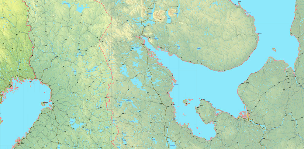
Printable Europe Political + Relief Vector Map 2023, extra high detailed in Mercator Projection fully editable, Adobe Illustrator in layers, full vector, scalable, curves format names, 208 mb ZIP
All Countries and disputed territories, Relief Raster 300 DPI. Map for design, printing, arts, projects, presentations, for architects, designers and builders, business, logistics, education.
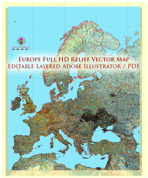
Europe Mercator Projection Political + Relief Vector Map High detailed fully editable, Adobe Illustrator
Layers:
- Legend and Scale
- Grids
- Capitals points (vector icons)
- Cities points
- Cities names
- Country names
- Names Disputed areas
- Urban areas
- Principal roads 1
- Principal roads 2
- Names Water objects
- Water objects (areas) 1
- Waterways
- Country boundaries
- Disputer areas (2023)
- Land areas (colored country areas) (transparent 50%)
- Relief topo (transparent 50%)
- Background
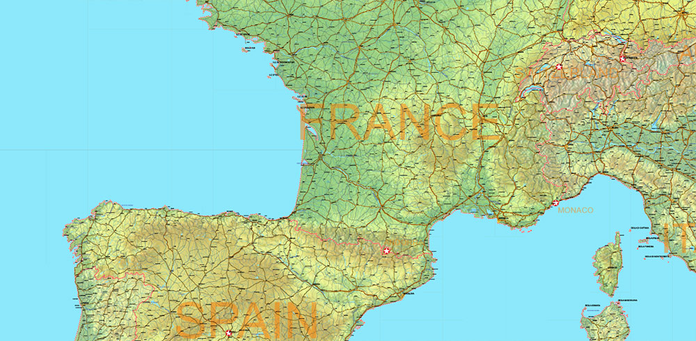
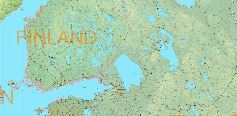
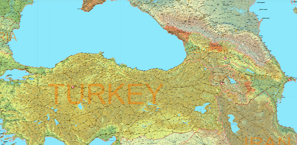
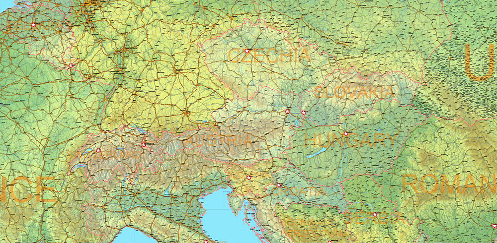
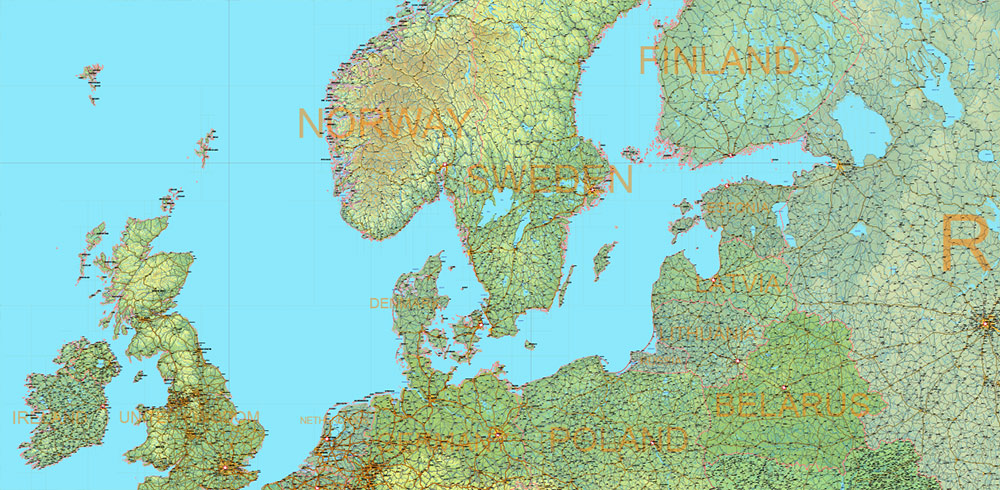
Europe Mercator Projection Political + Relief Vector Map High detailed fully editable, Adobe Illustrator
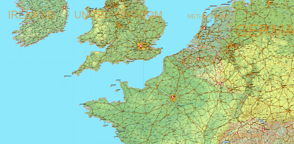
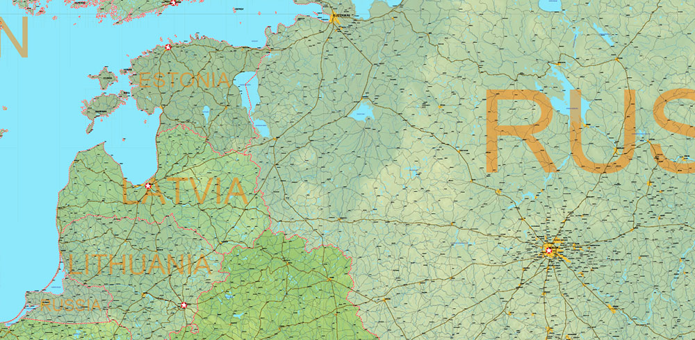
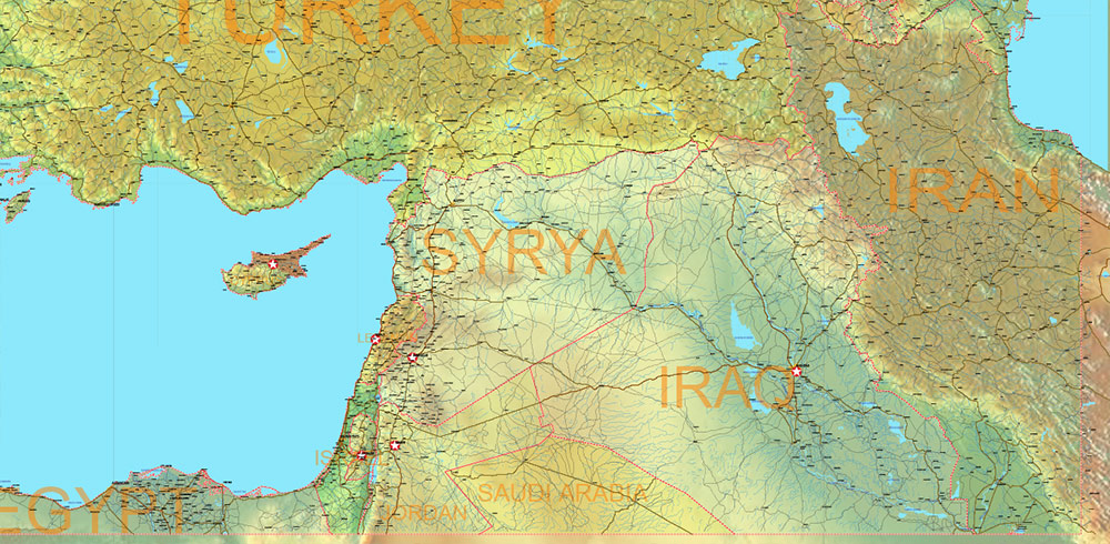
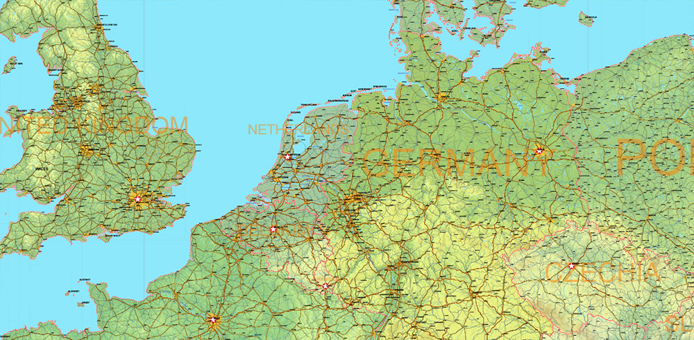
Europe Mercator Projection Political + Relief Vector Map High detailed fully editable, Adobe Illustrator
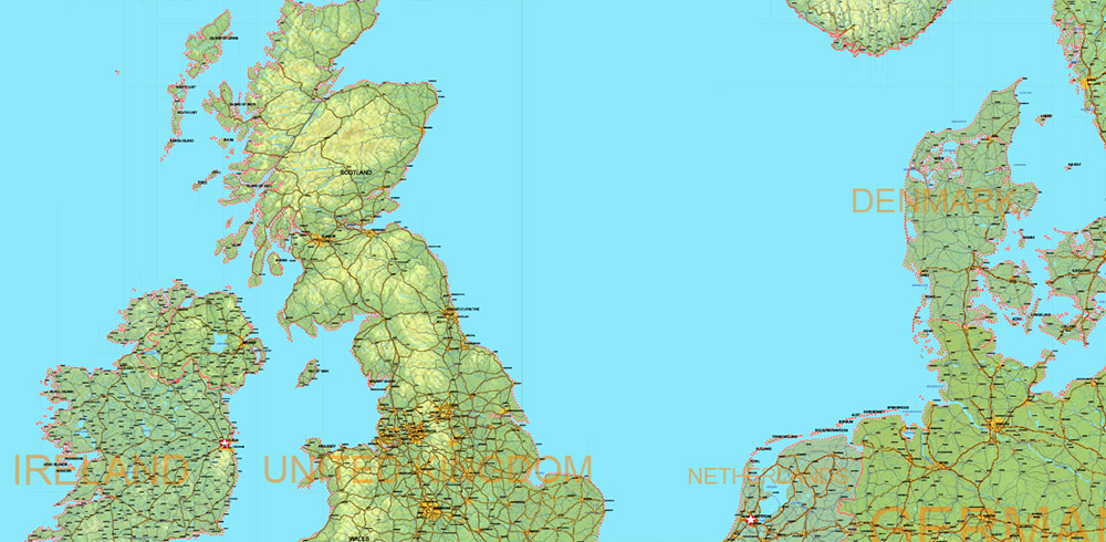
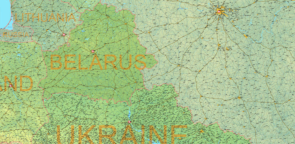
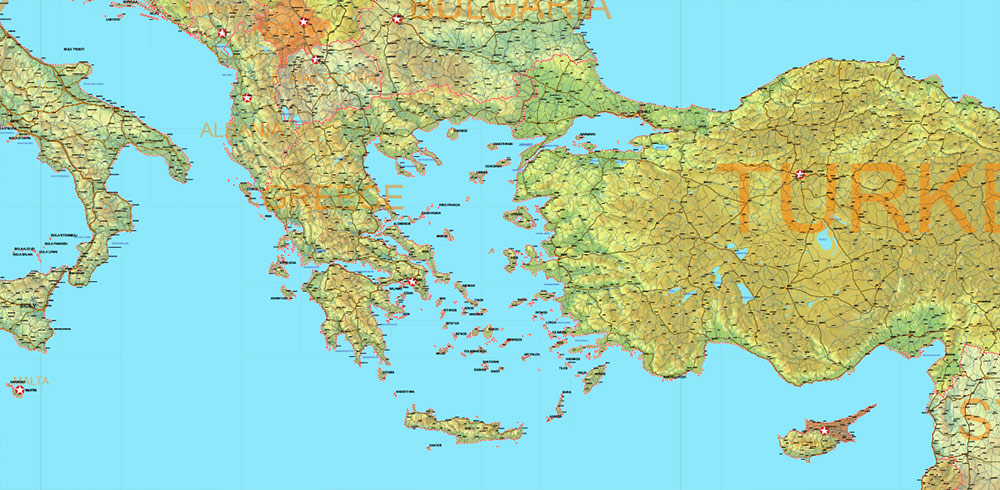
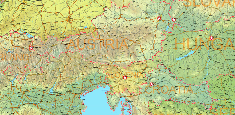
Europe Mercator Projection Political + Relief Vector Map High detailed fully editable, Adobe Illustrator
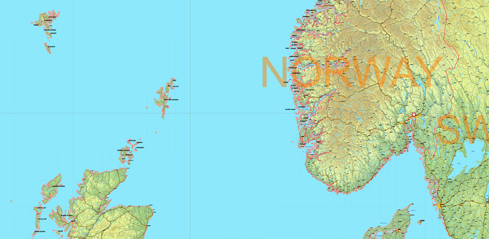
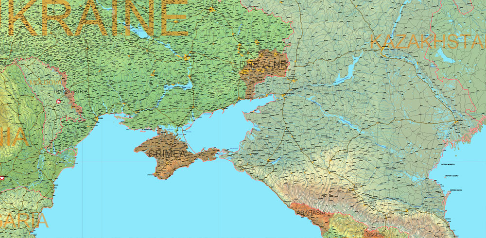
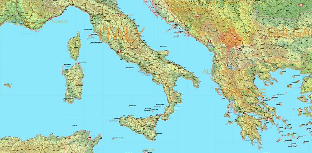
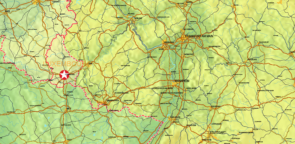
Europe Mercator Projection Political + Relief Vector Map High detailed fully editable, Adobe Illustrator
Europe Mercator Projection Political + Relief Vector Map High detailed fully editable, Adobe Illustrator
Europe Mercator Projection Political + Relief Vector Map High detailed fully editable, Adobe Illustrator
Europe Mercator Projection Political + Relief Vector Map High detailed fully editable, Adobe Illustrator
Europe Mercator Projection Political + Relief Vector Map High detailed fully editable, Adobe Illustrator
Europe Mercator Projection Political + Relief Vector Map High detailed fully editable, Adobe Illustrator
Europe Mercator Projection Political + Relief Vector Map High detailed fully editable, Adobe Illustrator
Europe Mercator Projection Political + Relief Vector Map High detailed fully editable, Adobe Illustrator
Europe Mercator Projection Political + Relief Vector Map High detailed fully editable, Adobe Illustrator
Europe Mercator Projection Political + Relief Vector Map High detailed fully editable, Adobe Illustrator
Europe Mercator Projection Political + Relief Vector Map High detailed fully editable, Adobe Illustrator
Europe Mercator Projection Political + Relief Vector Map High detailed fully editable, Adobe Illustrator
Europe Mercator Projection Political + Relief Vector Map High detailed fully editable, Adobe Illustrator
Europe Mercator Projection Political + Relief Vector Map High detailed fully editable, Adobe Illustrator
Europe Mercator Projection Political + Relief Vector Map High detailed fully editable, Adobe Illustrator
Europe Mercator Projection Political + Relief Vector Map High detailed fully editable, Adobe Illustrator
Europe Mercator Projection Political + Relief Vector Map High detailed fully editable, Adobe Illustrator
Europe Mercator Projection Political + Relief Vector Map High detailed fully editable, Adobe Illustrator
Europe Mercator Projection Political + Relief Vector Map High detailed fully editable, Adobe Illustrator
Europe Mercator Projection Political + Relief Vector Map High detailed fully editable, Adobe Illustrator
Europe Mercator Projection Political + Relief Vector Map High detailed fully editable, Adobe Illustrator

 Author: Kirill Shrayber, Ph.D. FRGS

