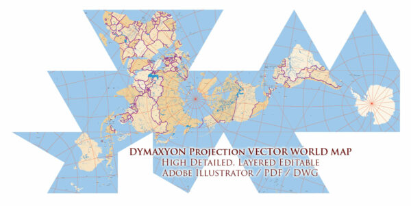
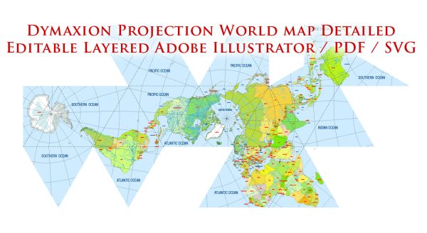
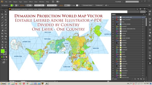
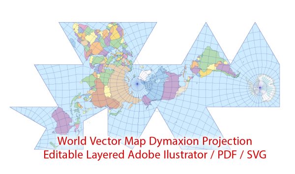
Vector World Maps in Dymaxion projection : The Dymaxion map or Fuller map is a projection of a world map onto the surface of an icosahedron, which can be unfolded and flattened to two dimensions. The flat map is heavily interrupted in order to preserve shapes and sizes.
The projection was invented by Buckminster Fuller.
The Dymaxion projection is intended only for representations of the entire globe. It is not a gnomonic projection, whereby global data expands from the center point of a tangent facet outward to the edges.
Download royalty free, editable vector maps of Vector World Maps in Dymaxion projection in high resolution digital PDF and Adobe Illustrator format.
Map — World Dymaxion Projection Map
An accurate map of World Dymaxion Projection Map that keeps hierarchy under control when scaling from A3 to A0. Layer structure separates arterials and locals, districts, hydrography, parks and landmarks. Coordinates and scales are prepared for sheet production and consistent exports. Named layers let you restyle colors, line weights and label classes without cleanup passes. Contours and landuse layers can be toggled to match tourism or planning use cases. District and neighborhood labels are arranged to avoid collisions around dense cores.
Saves prepress time by reducing manual fixes and keeping the visual system consistent. Ideal for signage, event maps, campus leaflets and waterfront brochures. Legibility holds up on handheld leaflets and large lobby posters alike. Keeps labels readable while allowing deep customization of routes and highlights. Export presets help maintain crisp strokes on both coated and uncoated paper.


 Author: Kirill Shrayber, Ph.D. FRGS