Extended Description of the Vector Map
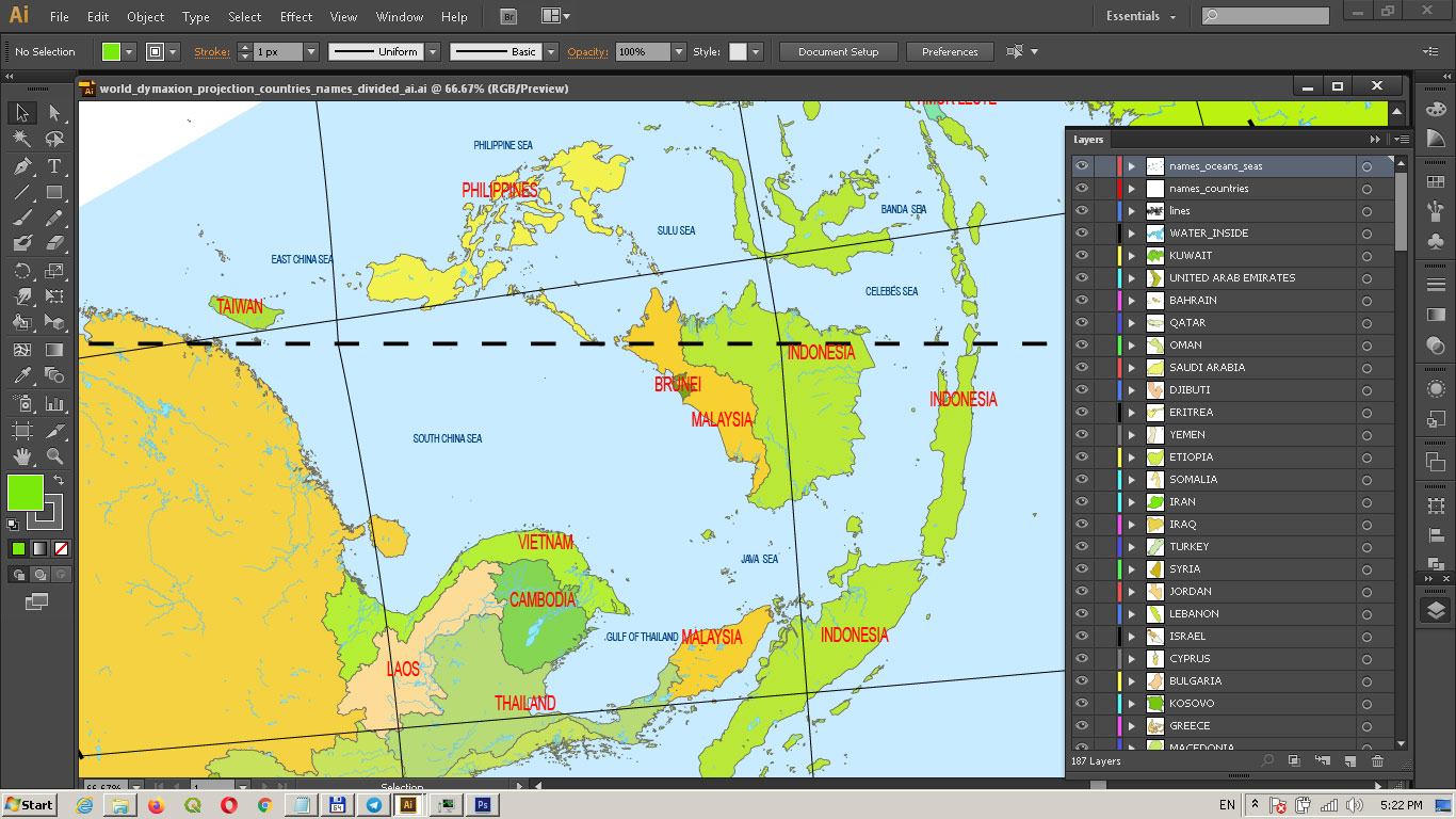
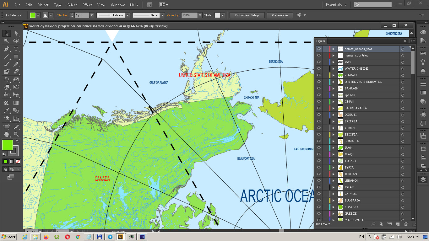
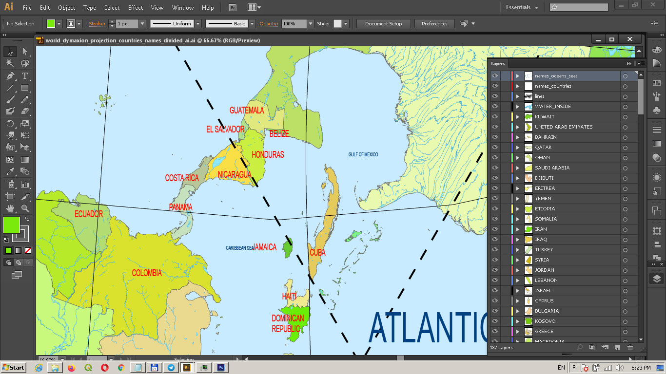
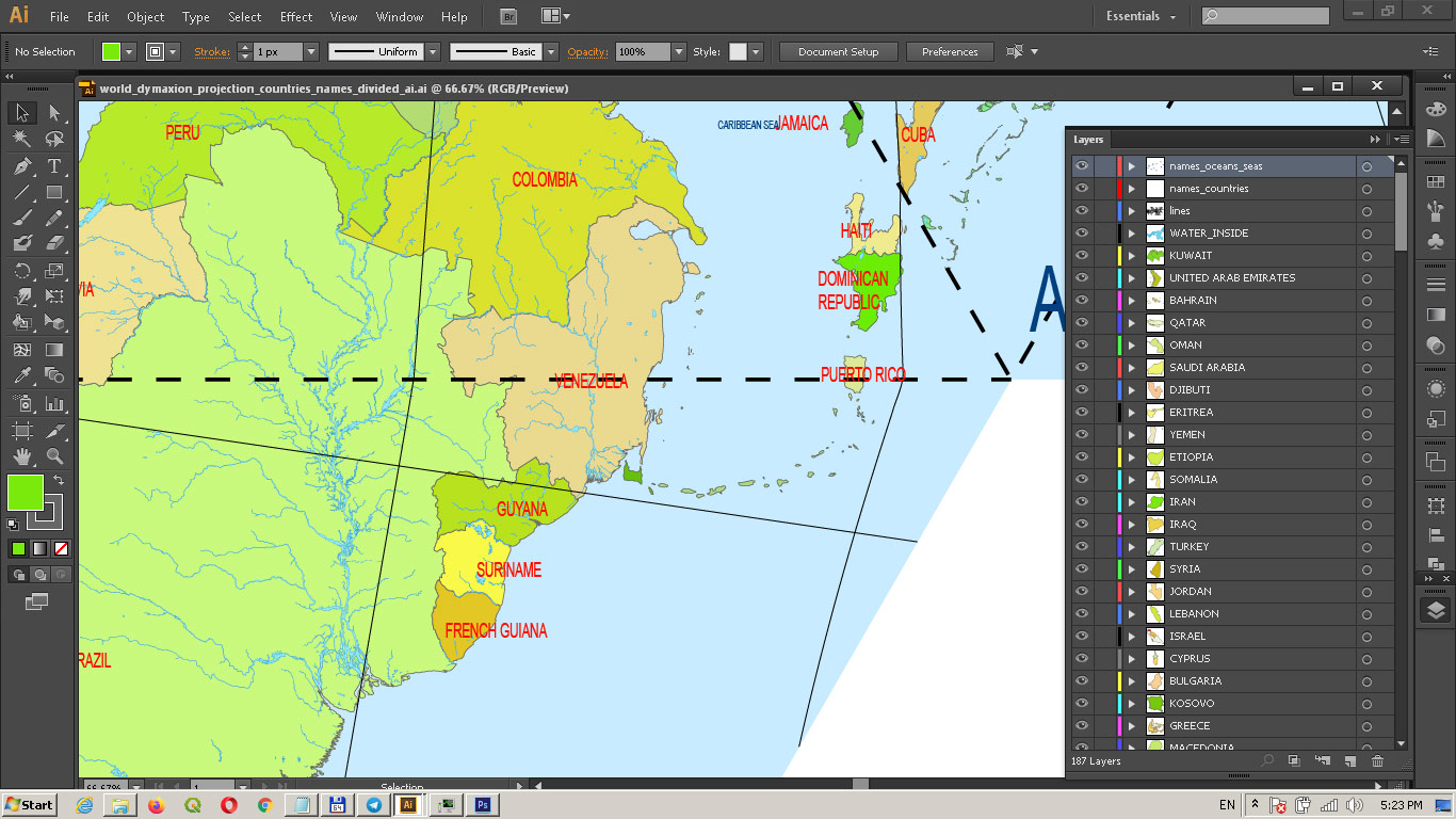
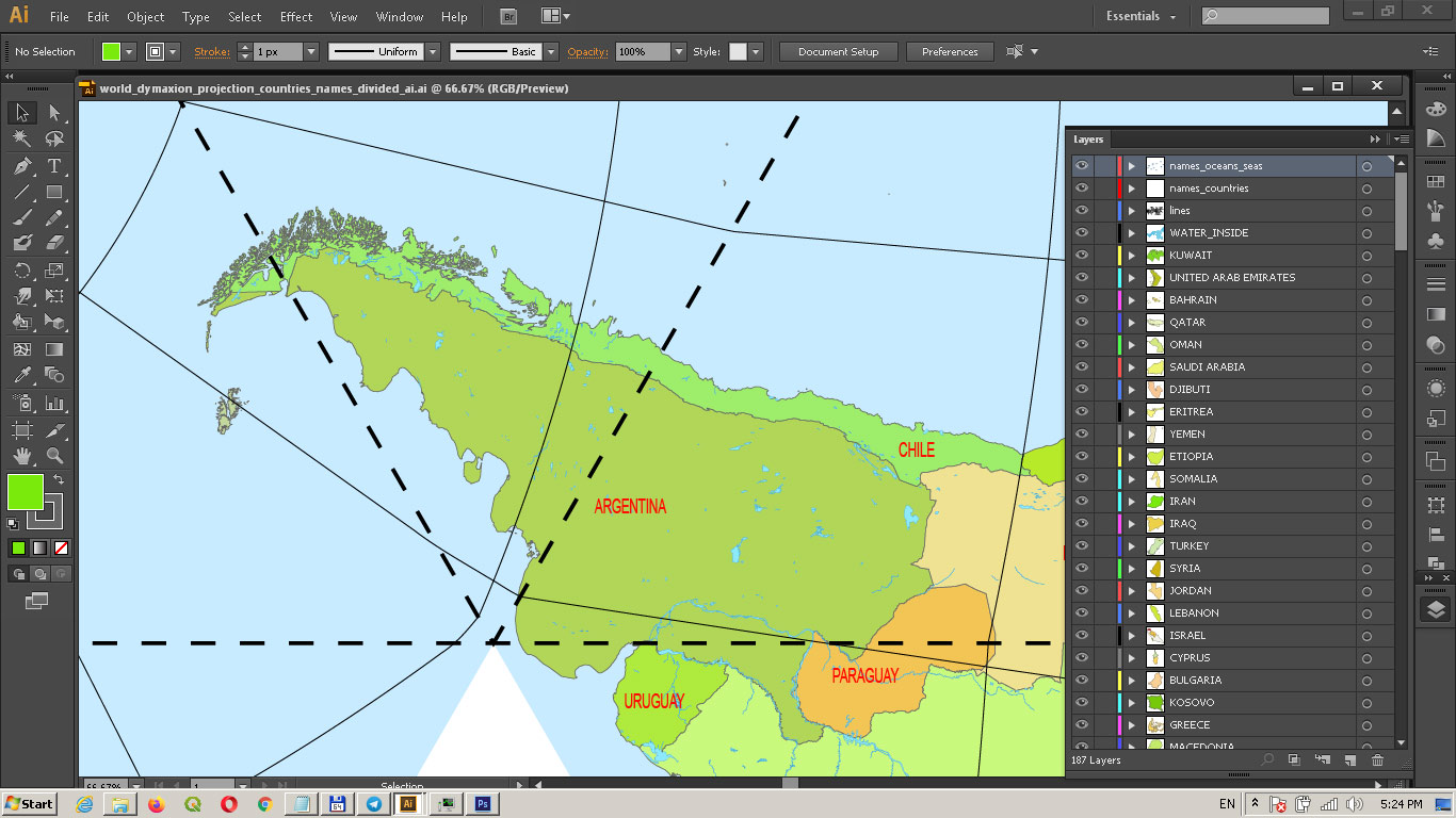
World Vector Map Dymaxion Projection detailed Divided by layers by countries areas\names: Adobe Illustrator 14 MB in the ZIP archive.
Fully editable, layered.
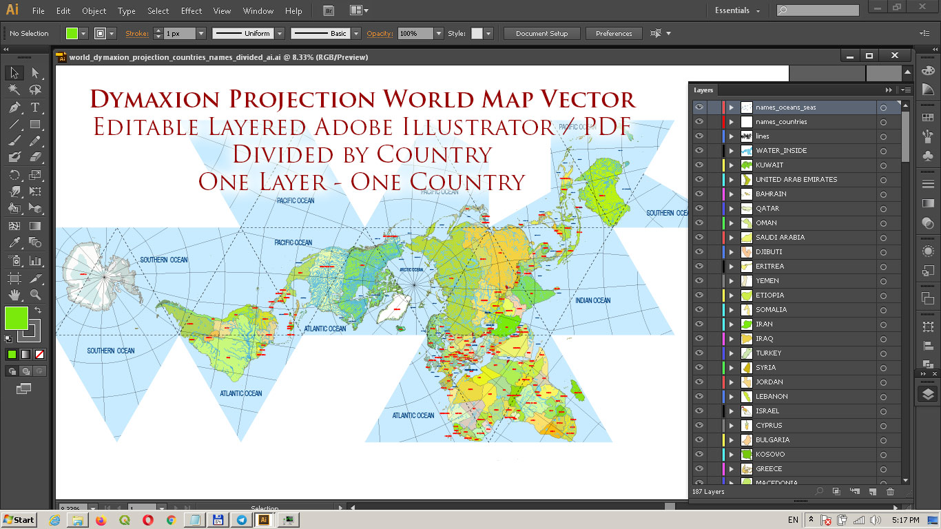
World Vector Map Dymaxion Projection Adobe Illustrator Detailed Divided by layers by Country names (areas)
Content of Map:
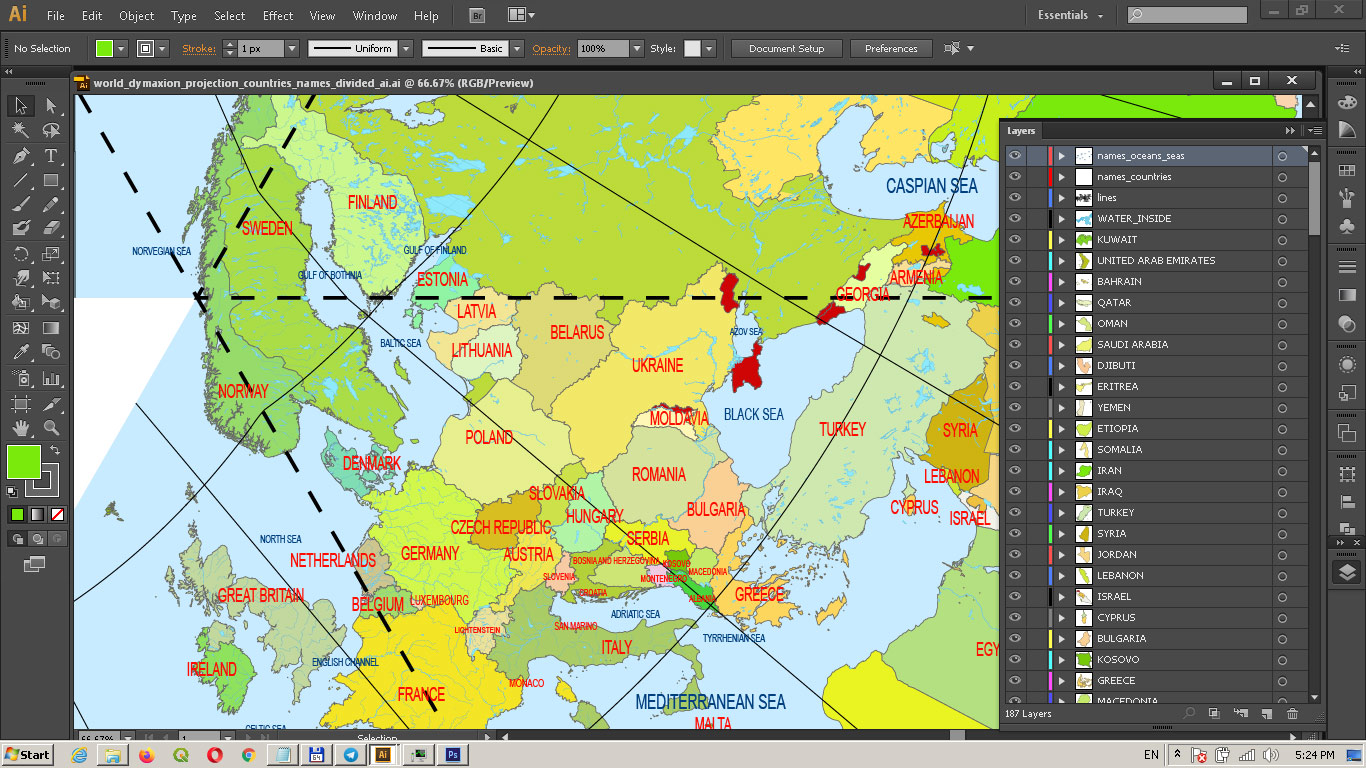
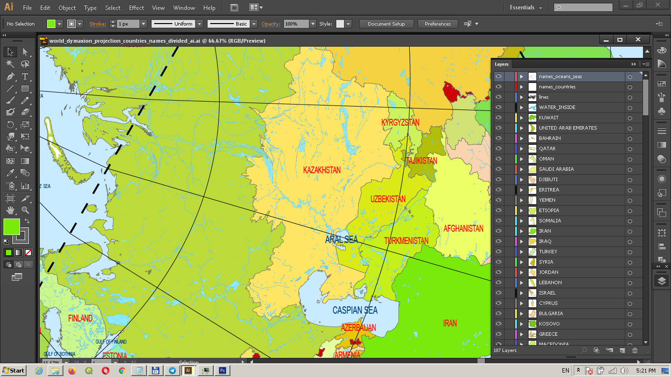
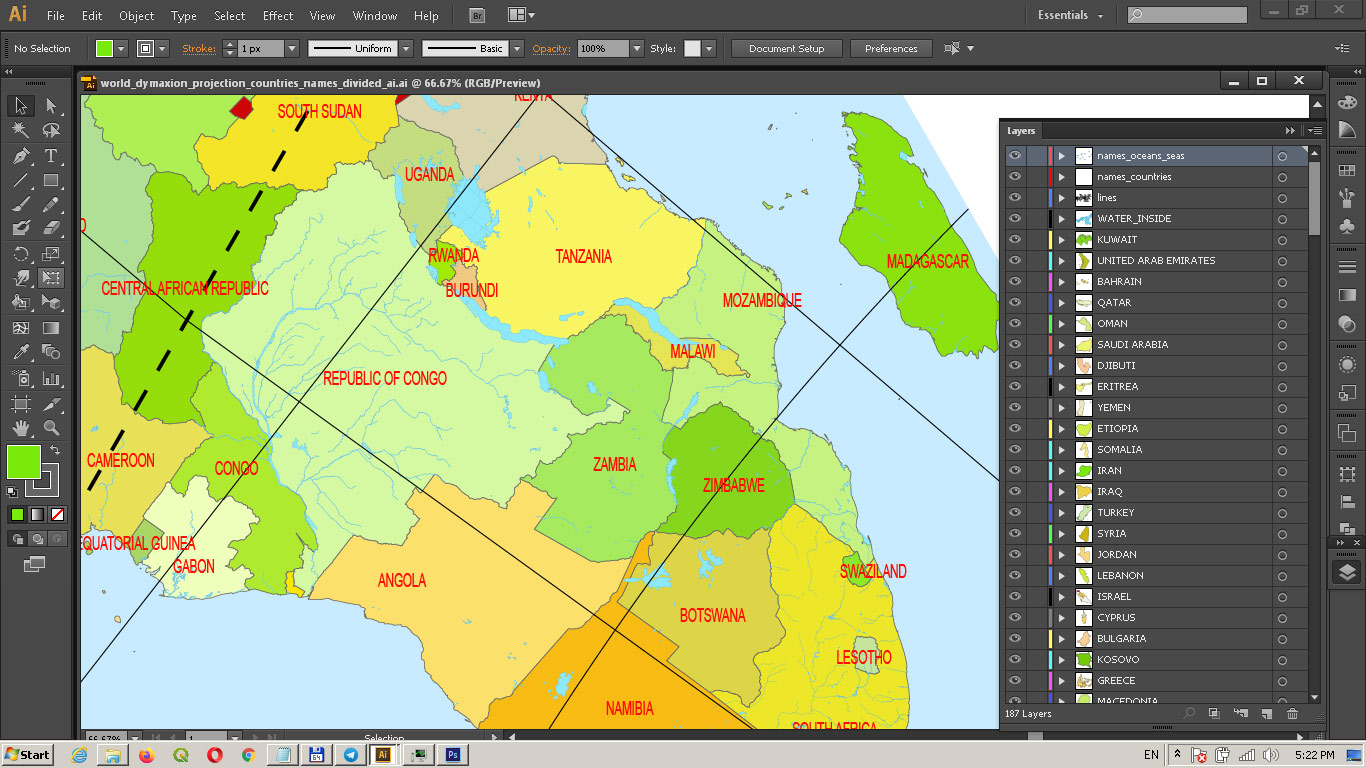
- Country areas layers (One layer = One country. Name Layer = Name Country)
- The water inside objects (rivers, lakes)
- Sea layer
- Dymaxion Projection lines layer
- Sea and Ocean names layer
- Countries names layer
World Vector Map Dymaxion Projection Adobe Illustrator Detailed Divided by layers by Country names (areas)
World Vector Map Dymaxion Projection Adobe Illustrator Detailed Divided by layers by Country names (areas)
World Vector Map Dymaxion Projection Adobe Illustrator Detailed Divided by layers by Country names (areas)
World Vector Map Dymaxion Projection Adobe Illustrator Detailed Divided by layers by Country names (areas)
World Vector Map Dymaxion Projection Adobe Illustrator Detailed Divided by layers by Country names (areas)
World Vector Map Dymaxion Projection Adobe Illustrator Detailed Divided by layers by Country names (areas)
World Vector Map Dymaxion Projection Adobe Illustrator Detailed Divided by layers by Country names (areas)
World Vector Map Dymaxion Projection Adobe Illustrator Detailed Divided by layers by Country names (areas)

 Author: Kirill Shrayber, Ph.D. FRGS
