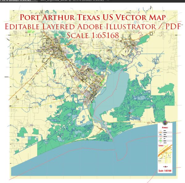
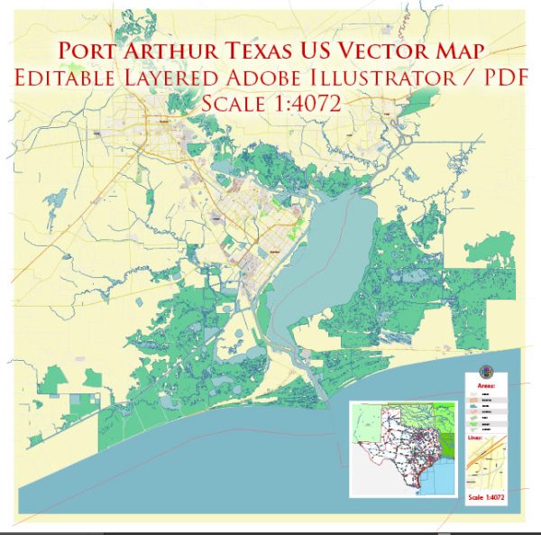
Map — Port Arthur Texas US
An accurate map of Port Arthur Texas US that keeps hierarchy under control when scaling from A3 to A0. The file accepts custom grids, legends and callouts without redrawing base content. Coordinates and scales are prepared for sheet production and consistent exports. Named layers let you restyle colors, line weights and label classes without cleanup passes. Waterfronts and parks receive extra separation for better contrast on light palettes. Contours and landuse layers can be toggled to match tourism or planning use cases.
Saves prepress time by reducing manual fixes and keeping the visual system consistent. Use it for visitor guides, city infographics, investment decks and municipal communications. Color systems can be swapped quickly to match seasonal or brand variants. Keeps labels readable while allowing deep customization of routes and highlights. The map integrates neatly with common DTP and GIS workflows.


 Author: Kirill Shrayber, Ph.D. FRGS