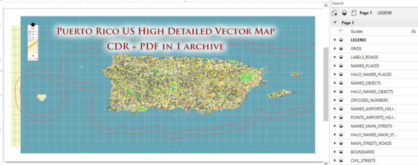
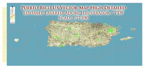
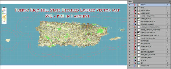
Vector Maps of the Puerto Rico : Caribbean island and unincorporated U.S. territory with a landscape of mountains, waterfalls and the El Yunque tropical rainforest. In San Juan, the capital and largest city, the Isla Verde area is known for its hotel strip, beach bars and casinos. Its Old San Juan neighborhood features colorful Spanish colonial buildings and El Morro and La Fortaleza, massive, centuries-old fortresses.
Capital: San Juan
Area:
• Total: 9,104 km2 (3,515 sq mi)
• Water: (%) 1.6
Download royalty free, editable vector maps of Puerto Rico in high resolution digital PDF and Adobe Illustrator format.
Map — Puerto Rico State City Vector Map
A clean map of Puerto Rico State City Vector Map with named layers and consistent geometry for fast cartographic work. Waterfronts and parks receive extra separation for better contrast on light palettes. Typography spacing is tuned for quick reading on posters, brochures and reports. Named layers let you restyle colors, line weights and label classes without cleanup passes. Coordinates and scales are prepared for sheet production and consistent exports. Contours and landuse layers can be toggled to match tourism or planning use cases.
Ideal for signage, event maps, campus leaflets and waterfront brochures. Use it for visitor guides, city infographics, investment decks and municipal communications. Legibility holds up on handheld leaflets and large lobby posters alike. Keeps labels readable while allowing deep customization of routes and highlights.


 Author: Kirill Shrayber, Ph.D. FRGS