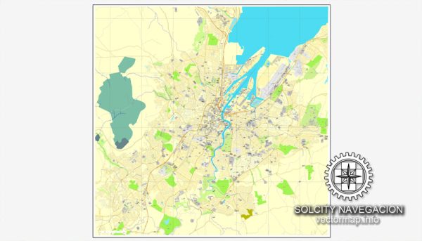
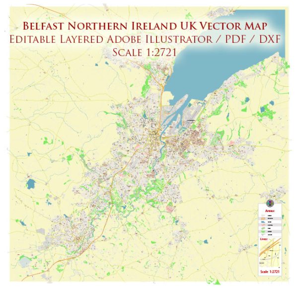
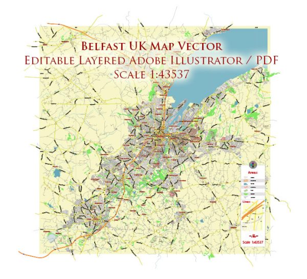
Vector Maps of the Belfast : Northern Ireland’s capital. It was the birthplace of the RMS Titanic, which famously struck an iceberg and sunk in 1912. This legacy is recalled in the renovated dockyards’ Titanic Quarter, which includes the Titanic Belfast, an aluminum-clad museum reminiscent of a ship’s hull, as well as shipbuilder Harland & Wolff’s Drawing Offices and the Titanic Slipways, which now host open-air concerts.
Area: 115 km²
Download royalty free, editable vector maps of Belfast Northern Ireland in high resolution digital PDF and Adobe Illustrator format.
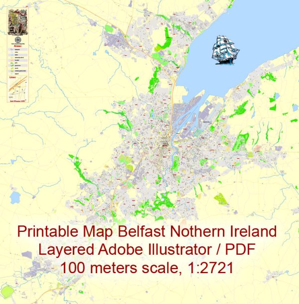
Printable Map — Belfast Ireland UK
A production‑ready printable map of Belfast Ireland UK built for clear labeling and predictable output across sizes. Bridges, tunnels and ferry lines are isolated so routes remain legible after recolor. Named layers let you restyle colors, line weights and label classes without cleanup passes. Waterfronts and parks receive extra separation for better contrast on light palettes. Layer structure separates arterials and locals, districts, hydrography, parks and landmarks. Crisp vectors preserve edges at high DPI and export compactly for web delivery.
Works well as an underlay for wayfinding, transport schemes and editorial layouts. Ideal for signage, event maps, campus leaflets and waterfront brochures. Export presets help maintain crisp strokes on both coated and uncoated paper. Reliable as a base layer; easy to adapt when projects or sponsors change. The map integrates neatly with common DTP and GIS workflows.


 Author: Kirill Shrayber, Ph.D. FRGS