Taxonomy: Product Tags for this Vector Map
Extended Description of the Vector Map
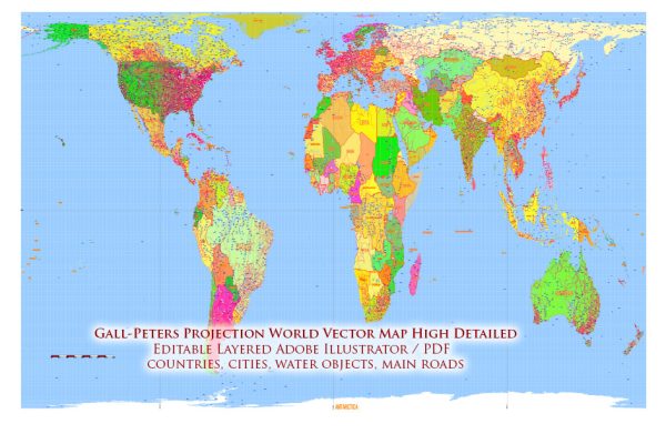
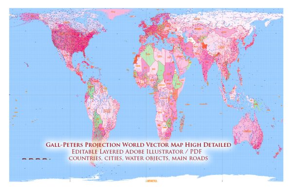
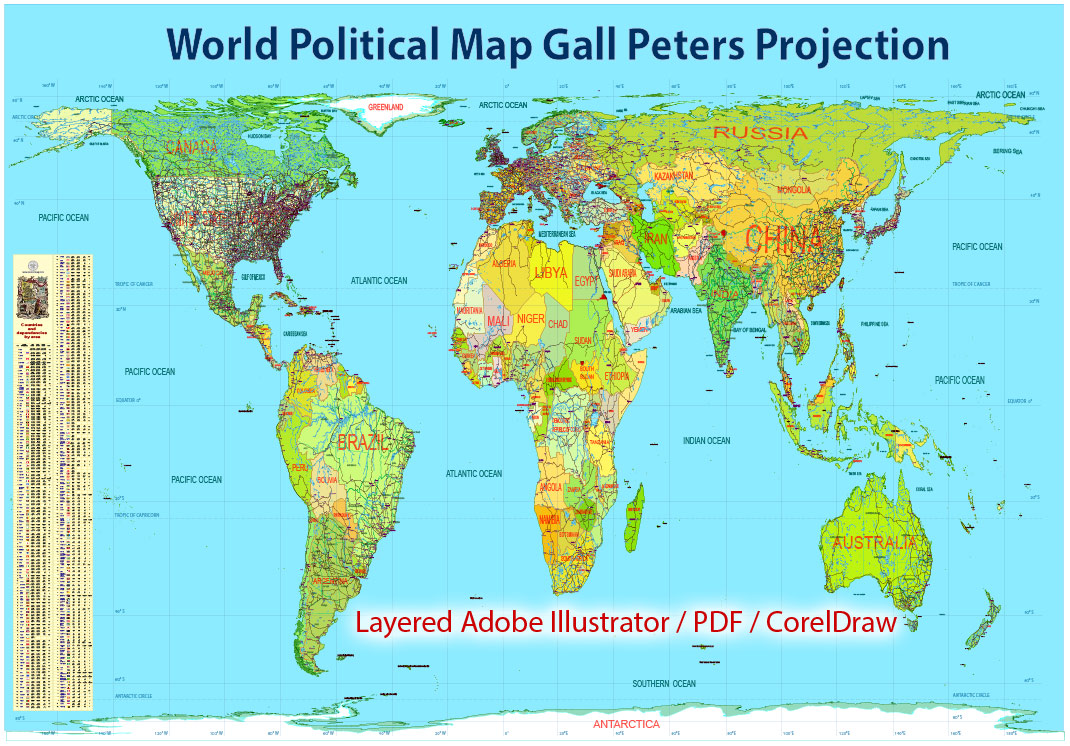
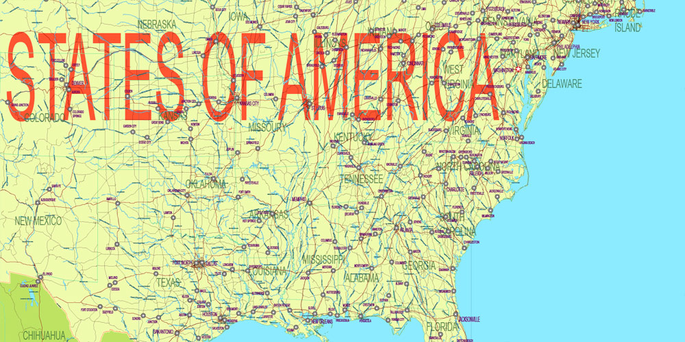
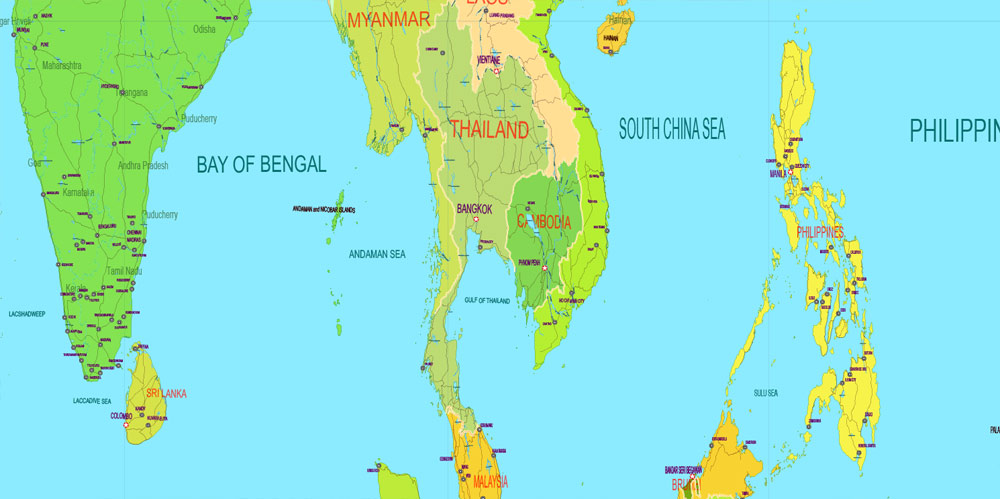
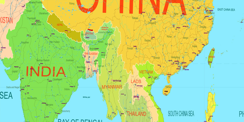
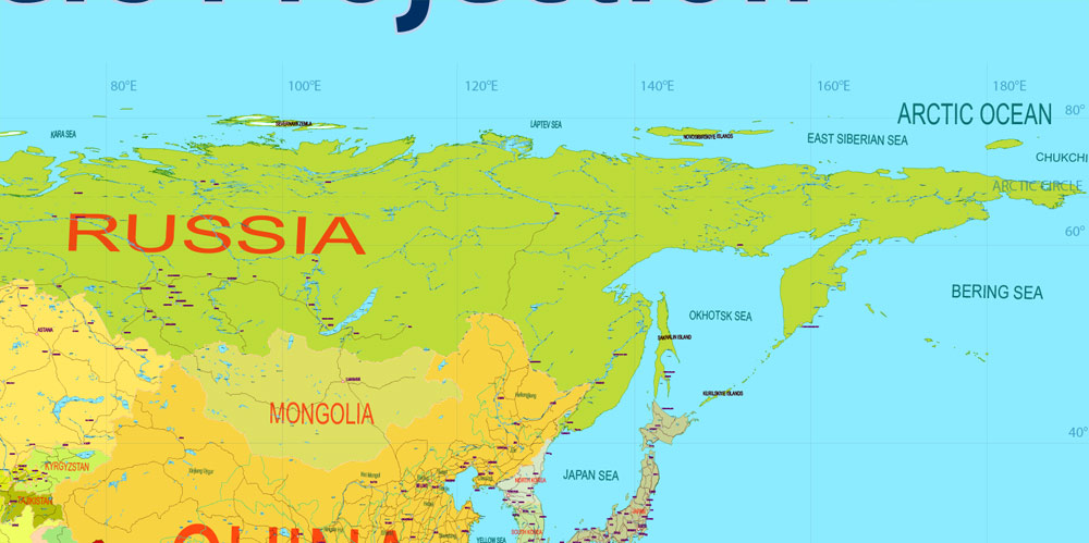
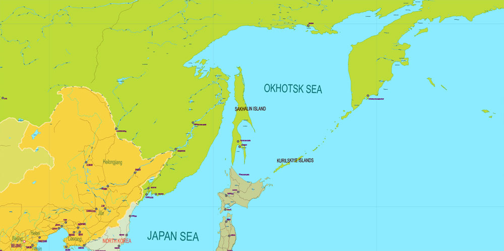
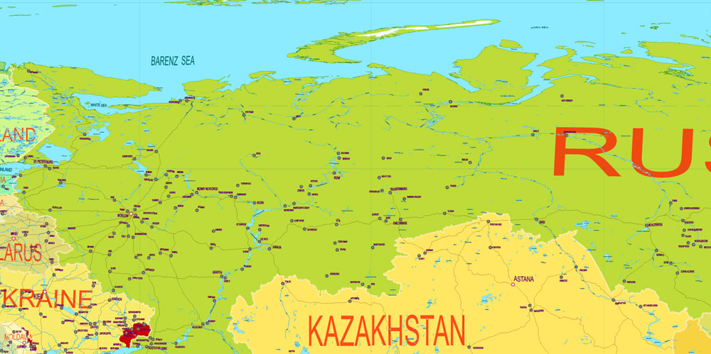
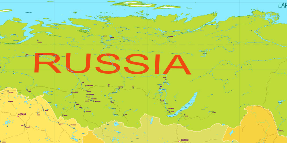
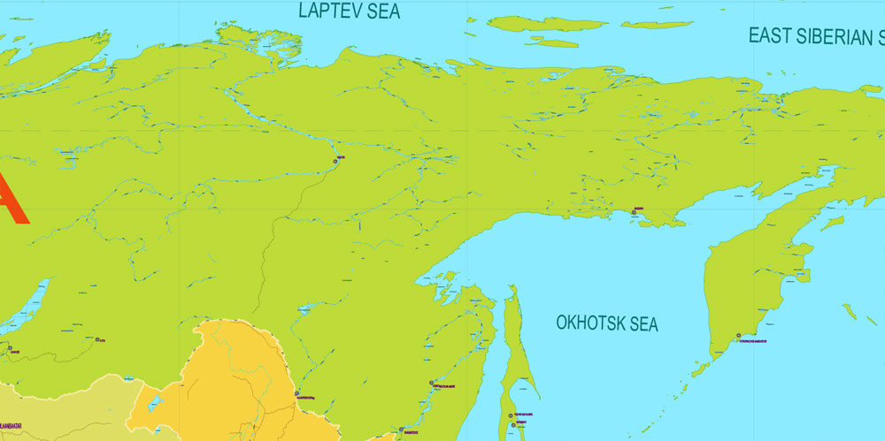
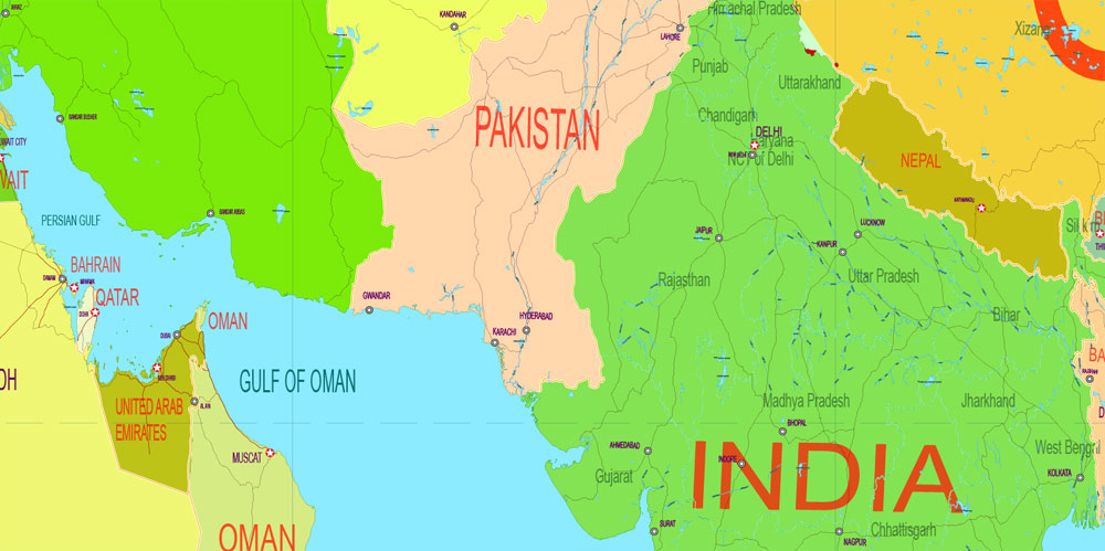
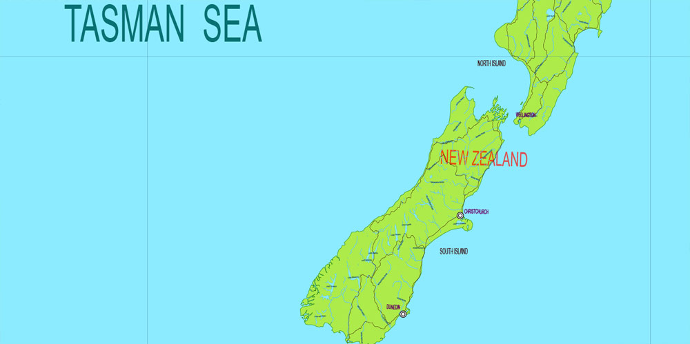
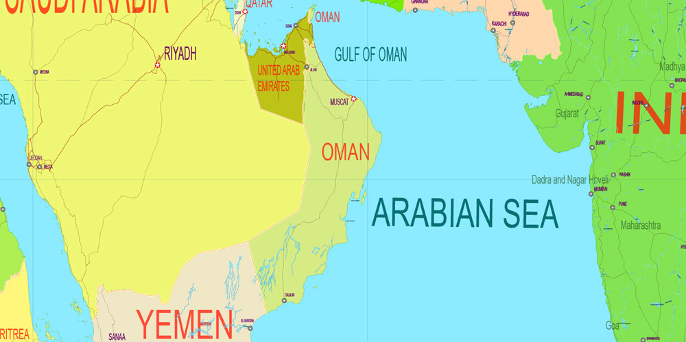
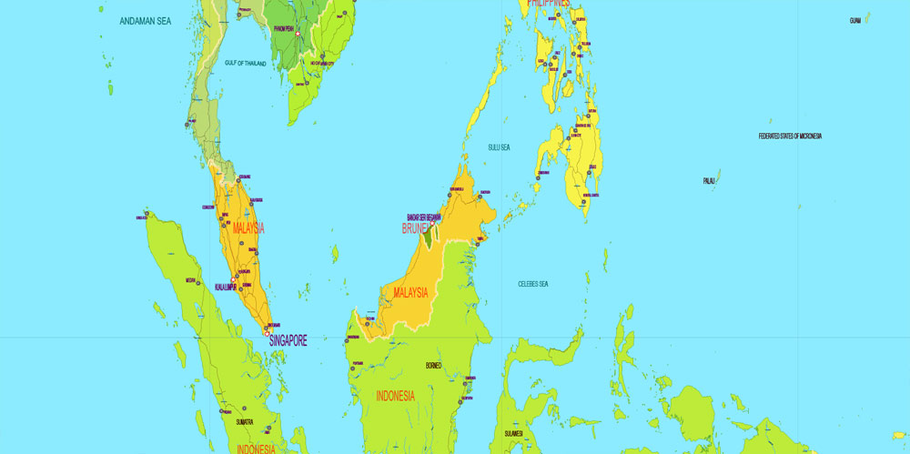
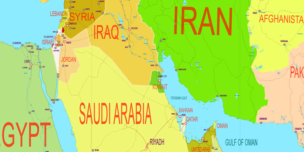
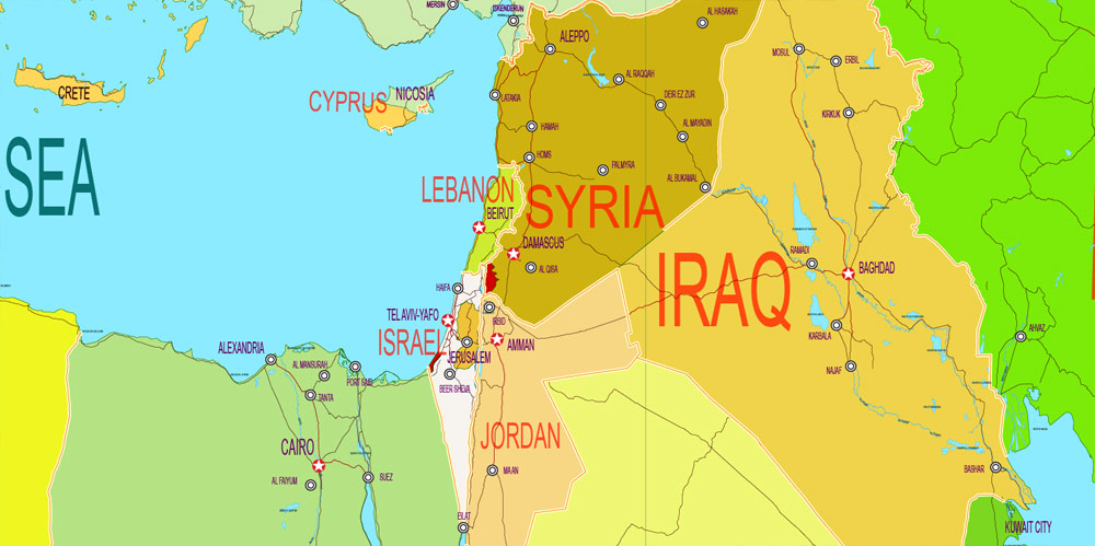
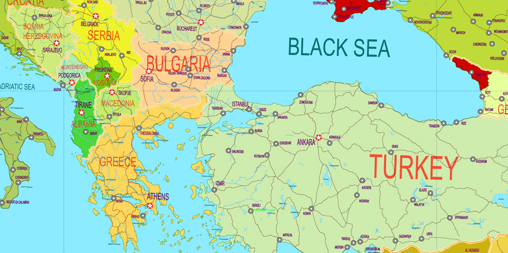
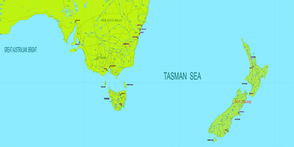
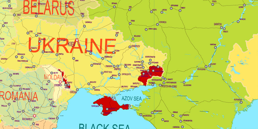
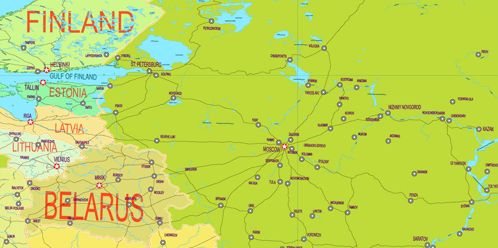
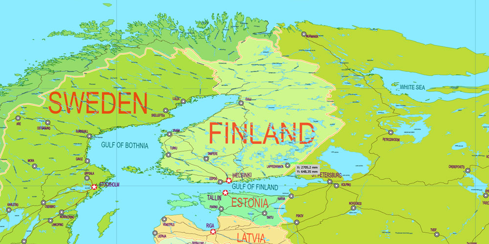
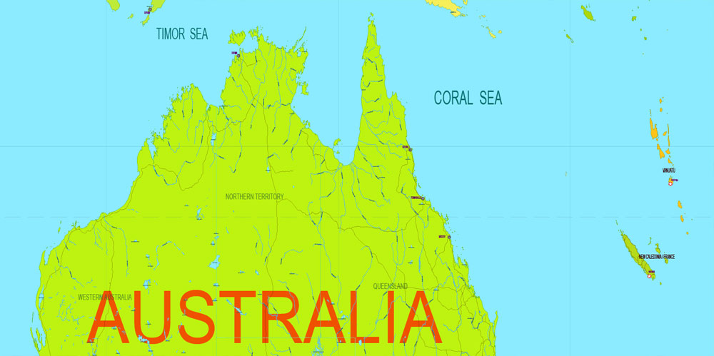
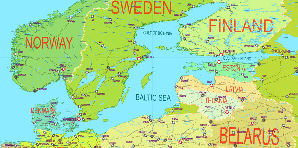
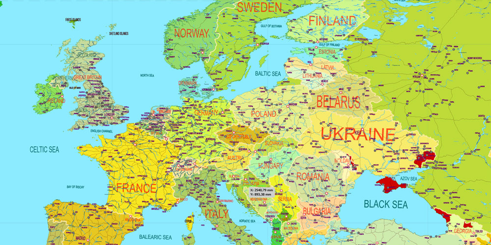
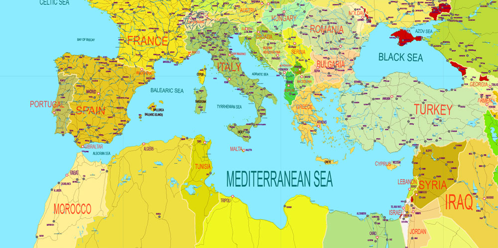
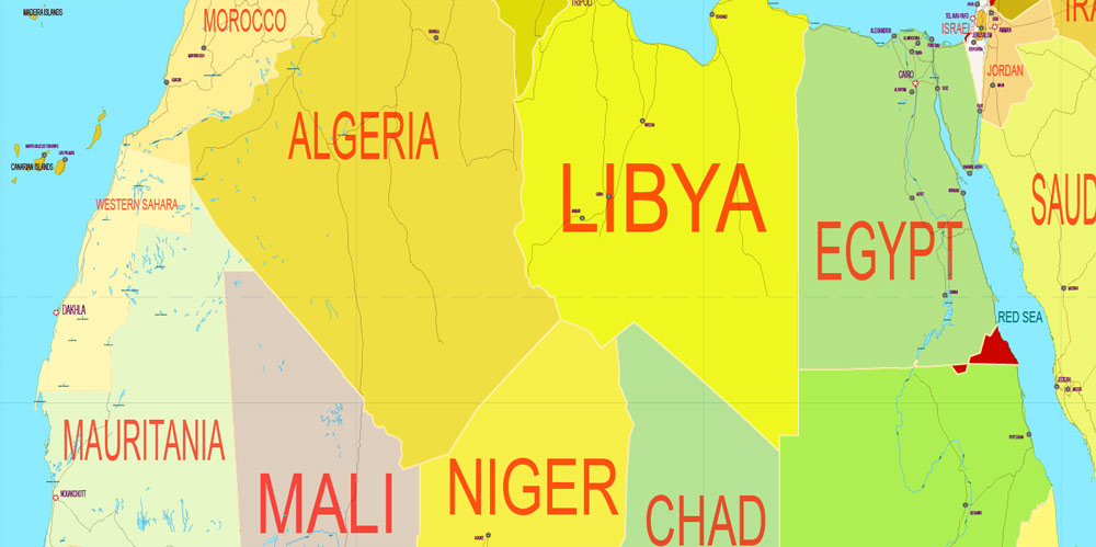
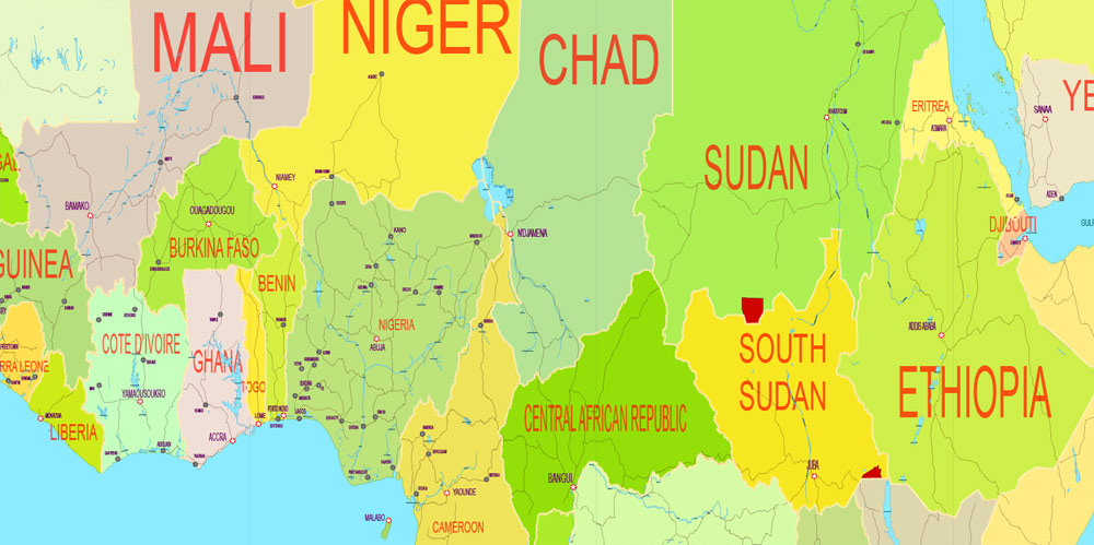
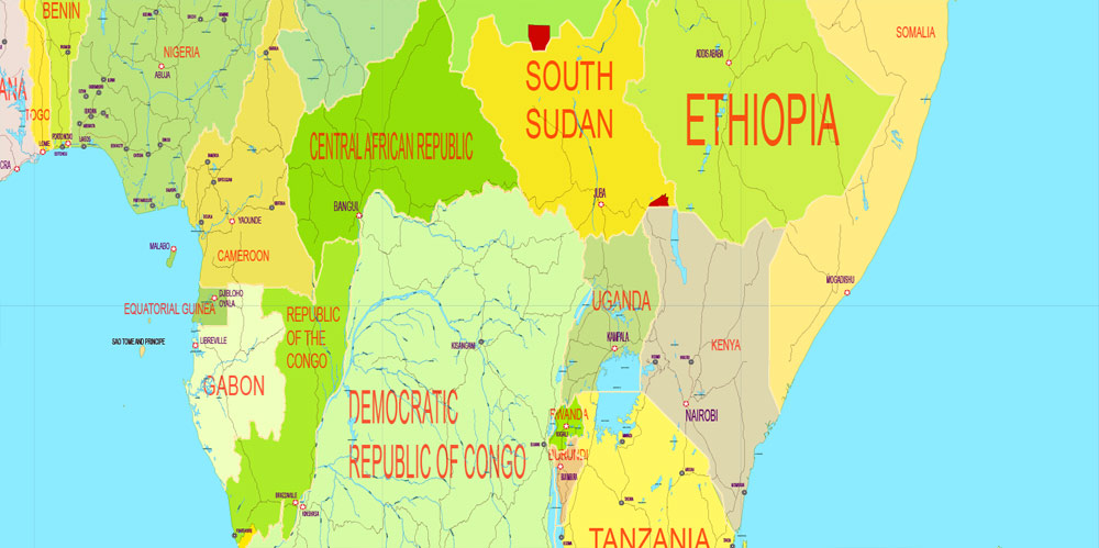
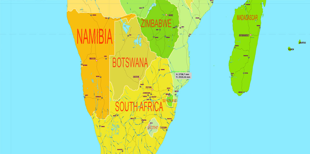
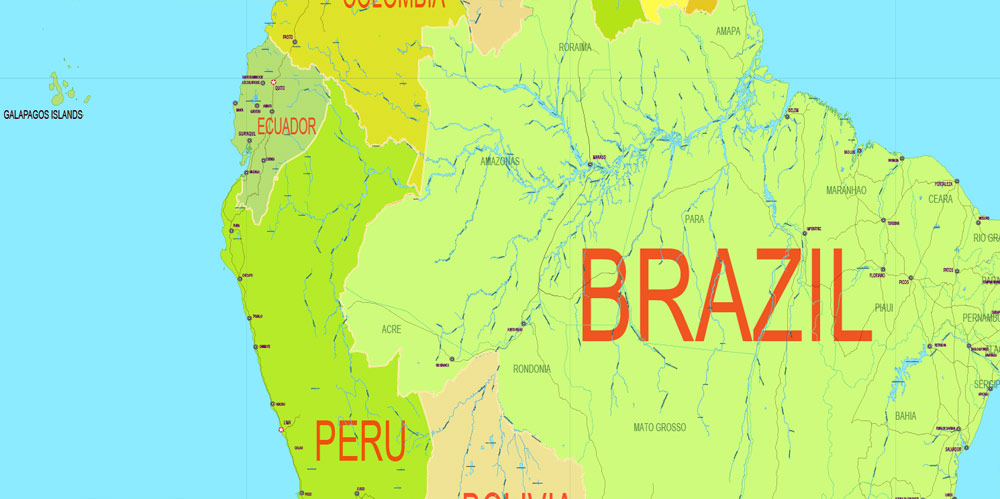
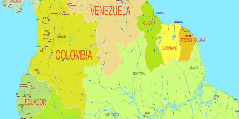
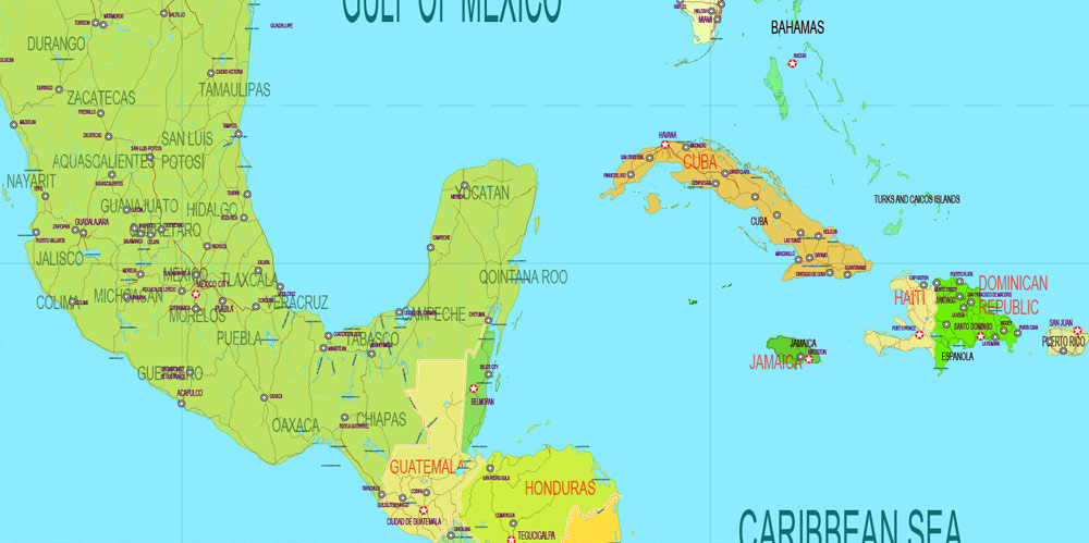
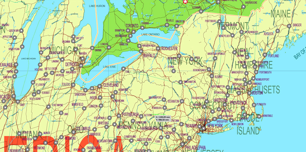
Printable PDF World Political Map, in Gall-Peters Projection full editable, Adobe PDF, full vector, scalable, editable text format names, 72 mb ZIP
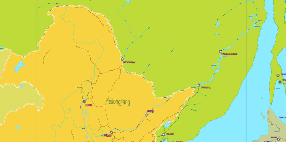
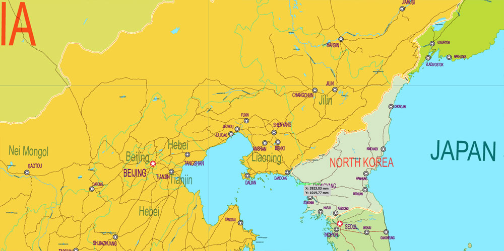
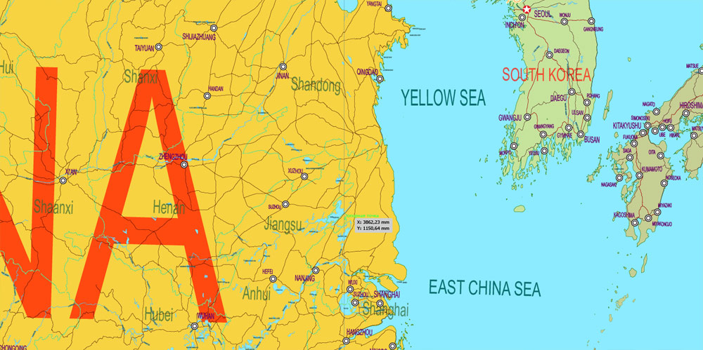
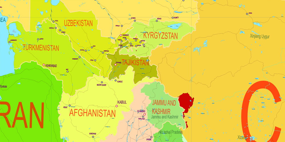
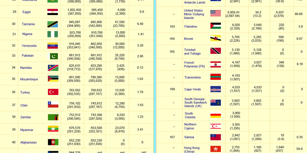
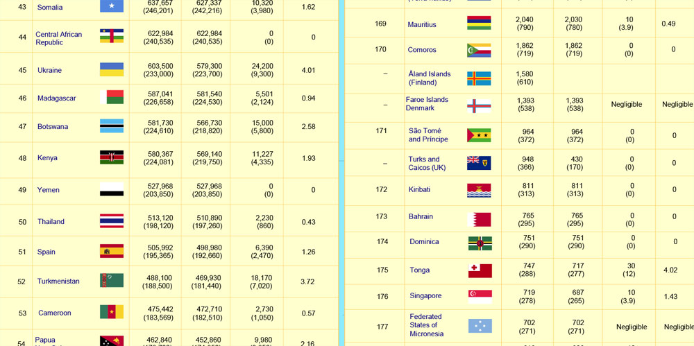
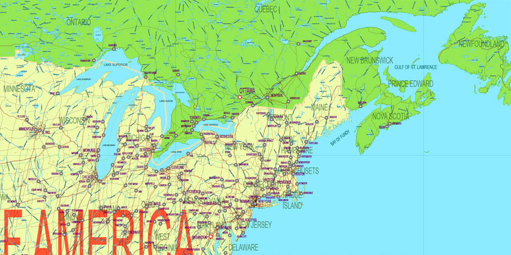
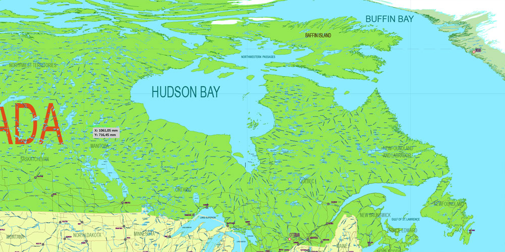
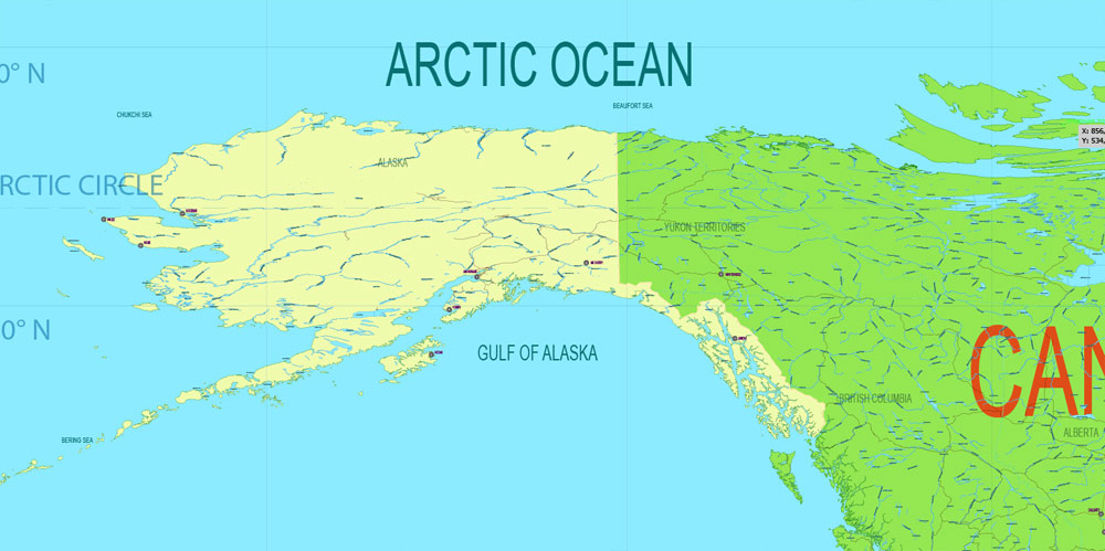
All Countries and disputed teritories with Flags ans squares, Map for design, printing, arts, projects, presentations, for architects, designers and builders, business, logistics, education.
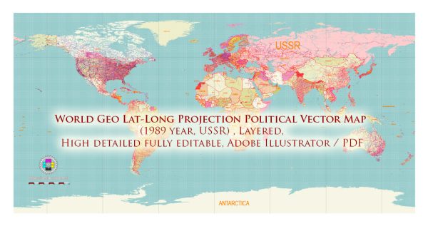
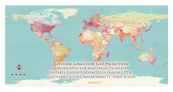
Layers: Legend with all flags and areas ranged by square, flags placed to countries, countries names, countries borders, provinces and states borders (large countries), names states and provinces, sea and ocean names, main rivers and lakes, names water objects, main cities and capitals, names cities, names islands, countries and disputed territories, main roads.
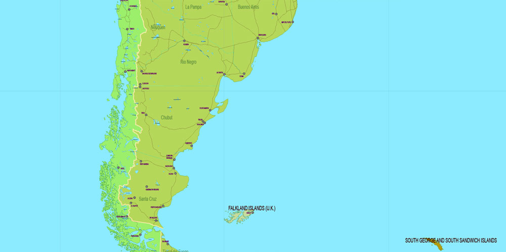
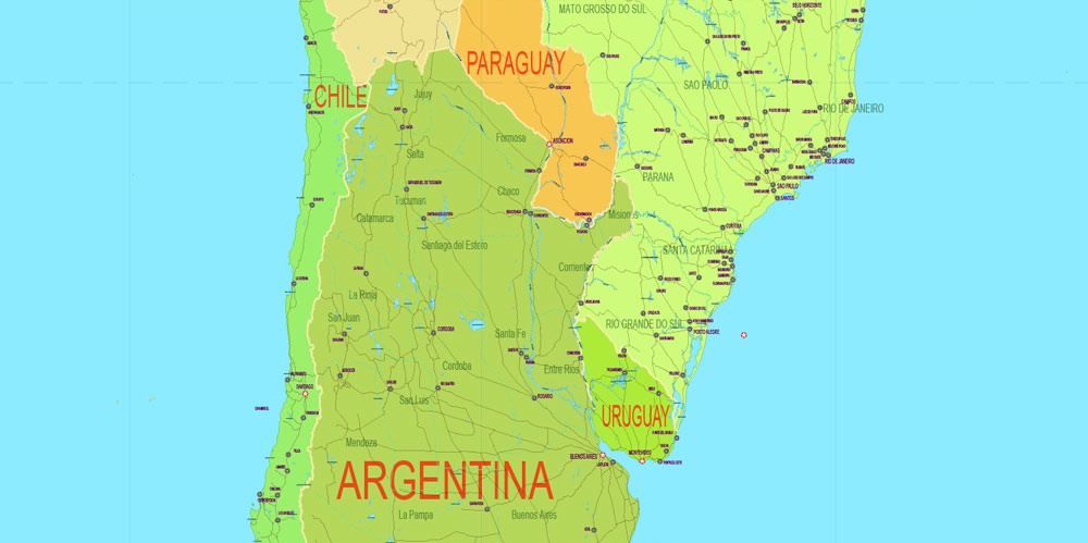
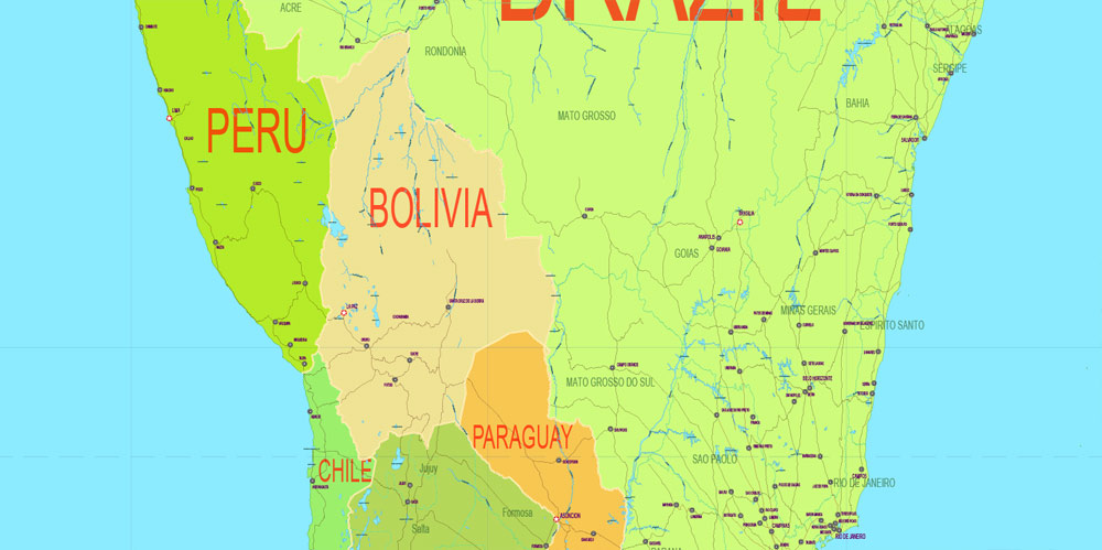
The detailed exact World Map in Gall-Peters Projection.
DWG, DXF and other formats – on request, same price, please, contact
The Gall–Peters projection is a rectangular map projection that maps all areas such that they have the correct sizes relative to each other.
Like any equal-area projection, it achieves this goal by distorting most shapes. The projection is a particular example of the cylindrical equal-area projection in that it sets latitudes 45° north and south as the regions on the map that have no distortion.
The projection is named after James Gall and Arno Peters. Gall is credited with describing the projection in 1855 at a science convention. He published a paper on it in 1885. Peters brought the projection to a wider audience beginning in the early 1970s by means of the “Peters World Map“. The name “Gall–Peters projection” seems to have been used first by Arthur H. Robinson in a pamphlet put out by the American Cartographic Association in 1986.
Maps based on the projection are promoted by UNESCO, and they are also widely used by British schools. In the U.S. state of Massachusetts, Boston Public Schools began phasing in these maps in March 2017, becoming the first public school district in the United States to adopt Gall–Peters maps as their standard.
The Gall–Peters projection achieved notoriety in the late 20th century as the centerpiece of a controversy about the political implications of map design.
History: Peters World Map
In 1967 Arno Peters, a German filmmaker, devised a map projection identical to Gall’s orthographic projection and presented it in 1973 as a “new invention”. He promoted it as a superior alternative to the Mercator projection, which was suited to navigation but also used commonly in world maps. The Mercator projection increasingly inflates the sizes of regions according to their distance from the equator. This inflation results, for example, in a representation of Greenland that is larger than Africa, which has a geographic area 14 times greater than Greenland’s. Since much of the technologically underdeveloped world lies near the equator, these countries appear smaller on a Mercator and therefore, according to Peters, seem less significant. On Peters’s projection, by contrast, areas of equal size on the globe are also equally sized on the map. By using his “new” projection, Peters argued that poorer, less powerful nations could be restored to their rightful proportions. This reasoning has been picked up by many educational and religious bodies, leading to adoption of the Gall–Peters projection among some socially concerned groups, including Oxfam, National Council of Churches, New Internationalist magazine, and the Mennonite Central Committee. However, Peters’s choice of 45° N/S for the standard parallels means that the regions displayed with highest accuracy include Europe and the US, and not the tropics.
Peters’s original description of the projection for his map contained a geometric error that, taken literally, implies standard parallels of 46°02′ N/S. However the text accompanying the description made it clear that he had intended the standard parallels to be 45° N/S, making his projection identical to Gall’s orthographic. In any case, the difference is negligible in a world map.
https://en.wikipedia.org/wiki/Gall%E2%80%93Peters_projection
Free US vector maps
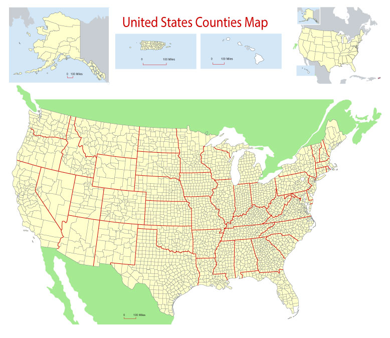
Free Download Vector Map US County and State Adobe Illustrator
Free_Vector_Map_US_States_County_Map.ai
Free Download Vector Map US County and State Adobe PDF
Free_Vector_Map_US_States_County_Map.pdf
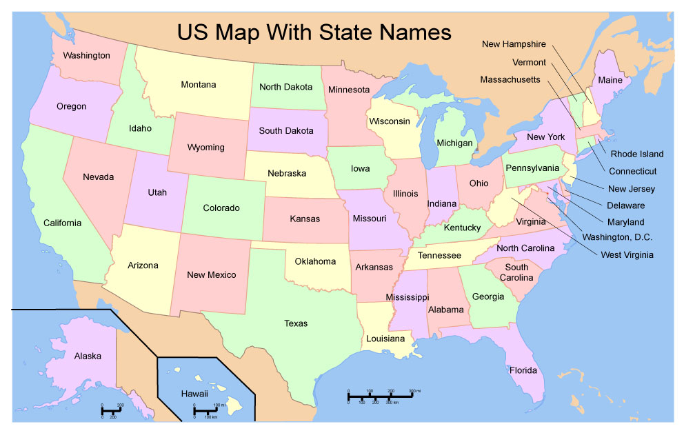
Free Download Vector Map US With States Names, Adobe Illustrator
Free_Map_of_USA_with_state_names_en.ai
Free Download Vector Map US With States Names, Adobe PDF
Free_Map_of_USA_with_state_names_en.pdf
From WIKI
Free vector map World, Adobe Illustrator, download now maps vector clipart
Map for design, projects, presentation free to use as you like.
See also: TERMS & CONDITIONS: SOFTWARE LICENSE AGREEMENT FOR DIGITAL CARTOGRAPHIC DATA.
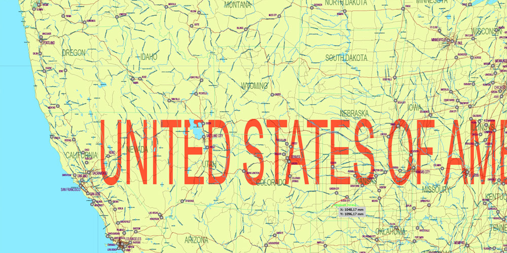
Need more USA Vector Maps, printable and editable?
 If you have any questions, please, feel free to contact us via WhatsApp +1.829.4100078







 We accept PayPal and all Debit or Credit Cards | Instantly Download Your Map after payment.

 Author: Kirill Shrayber, Ph.D.