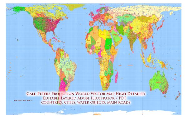
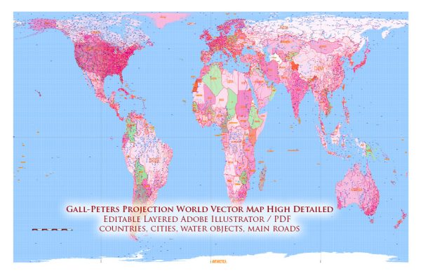
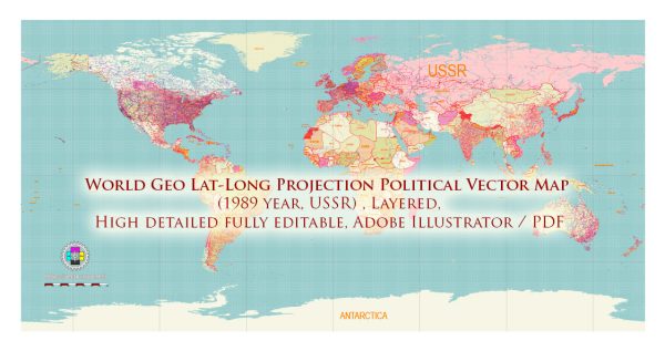
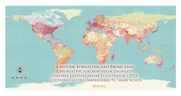
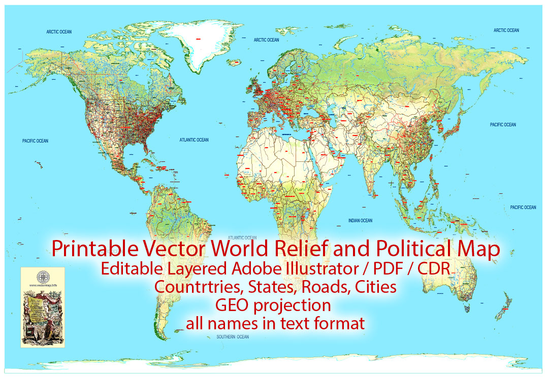
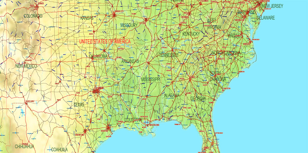
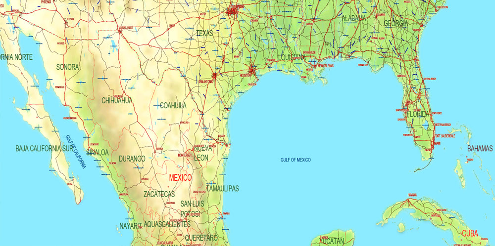
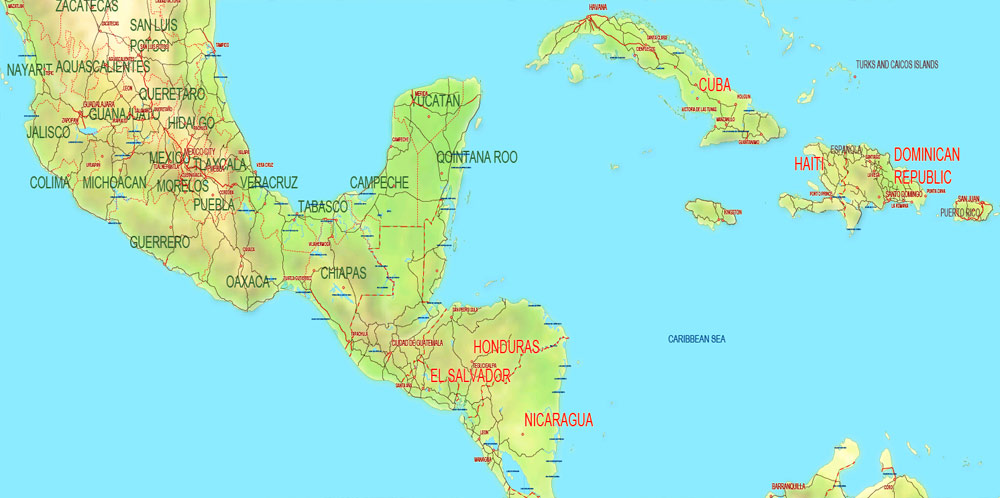
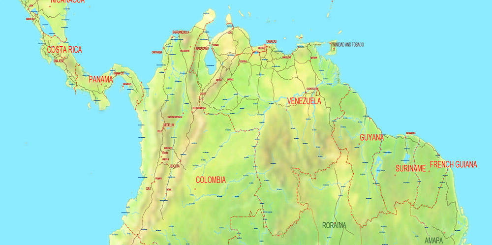
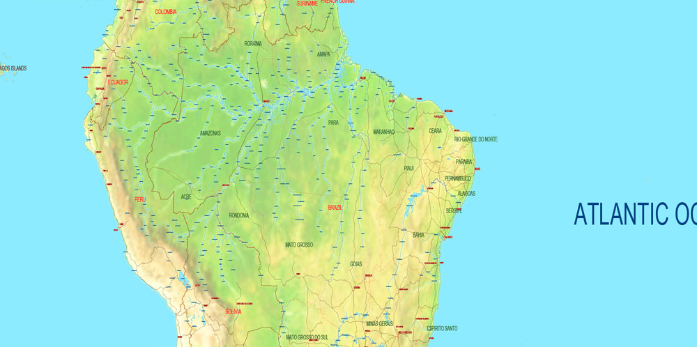
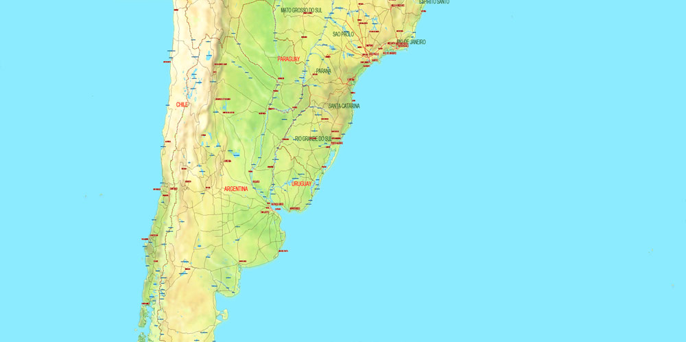
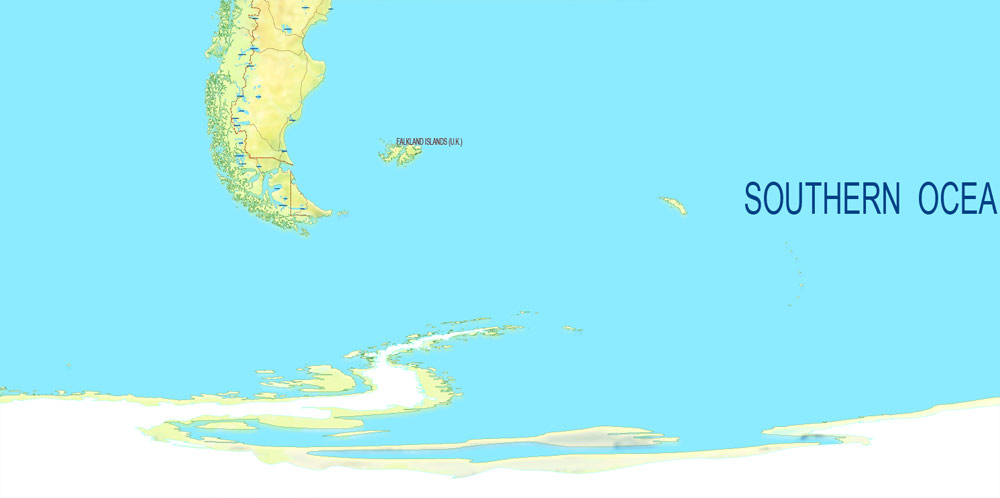
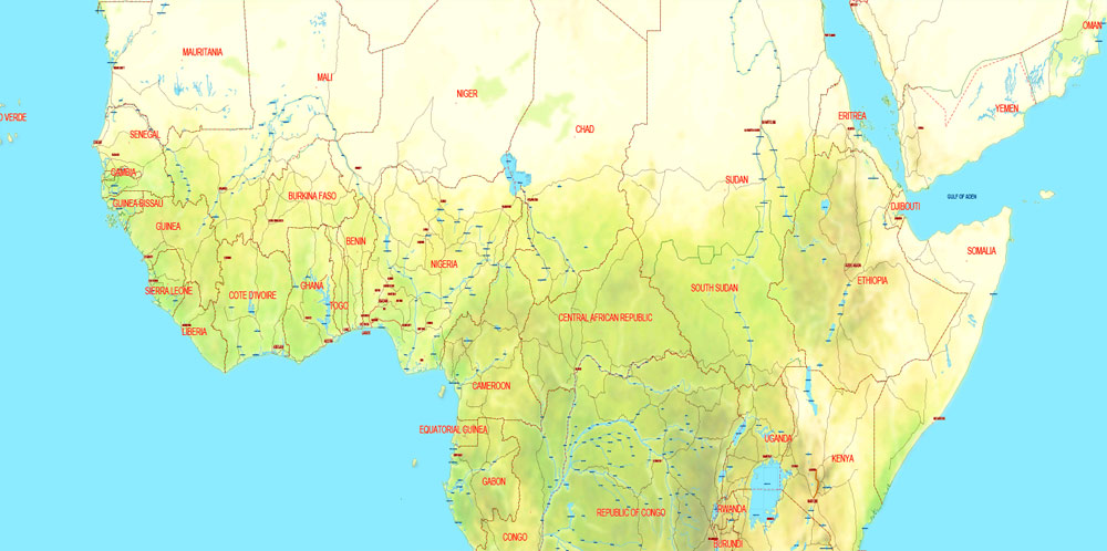
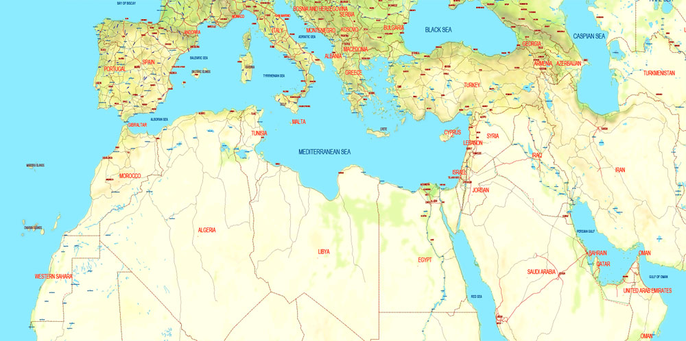
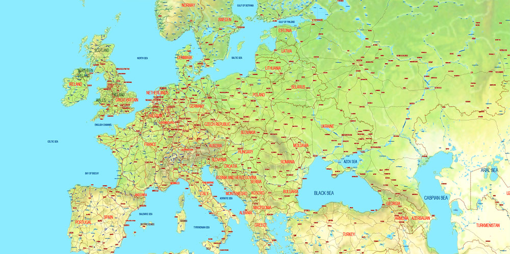
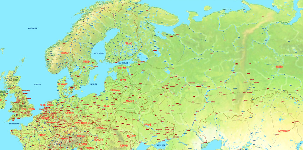
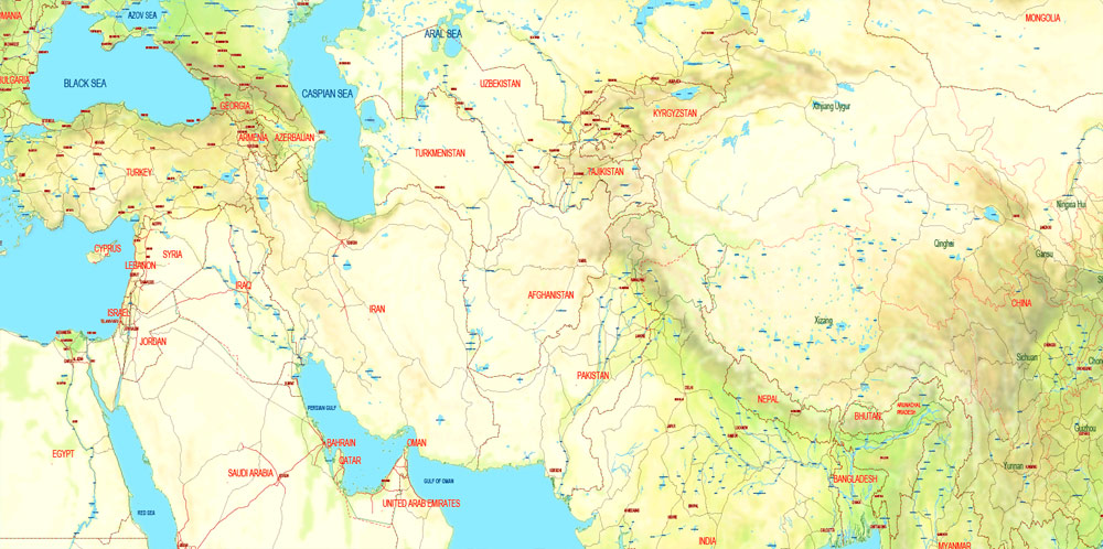
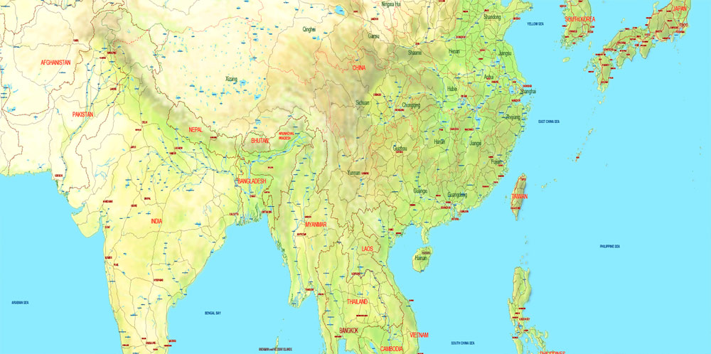
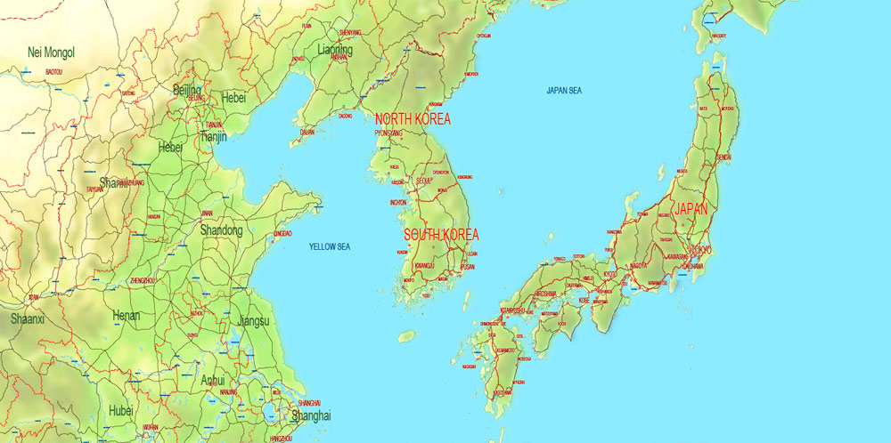
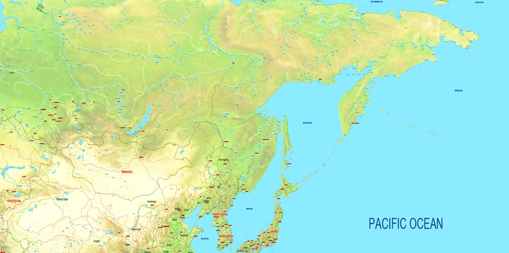
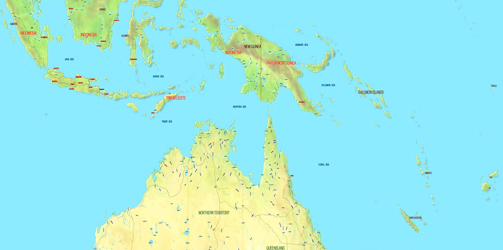
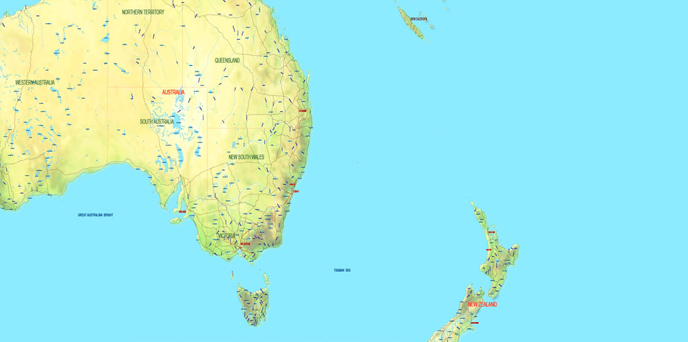
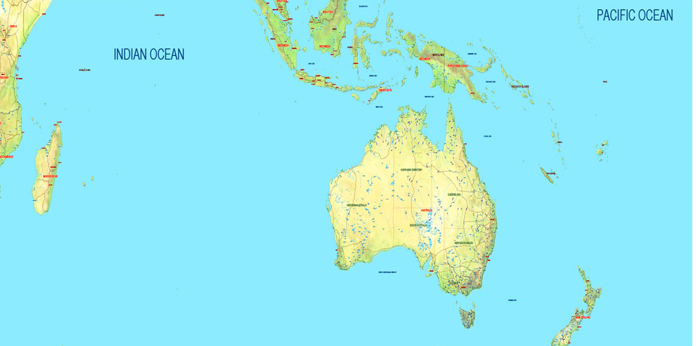
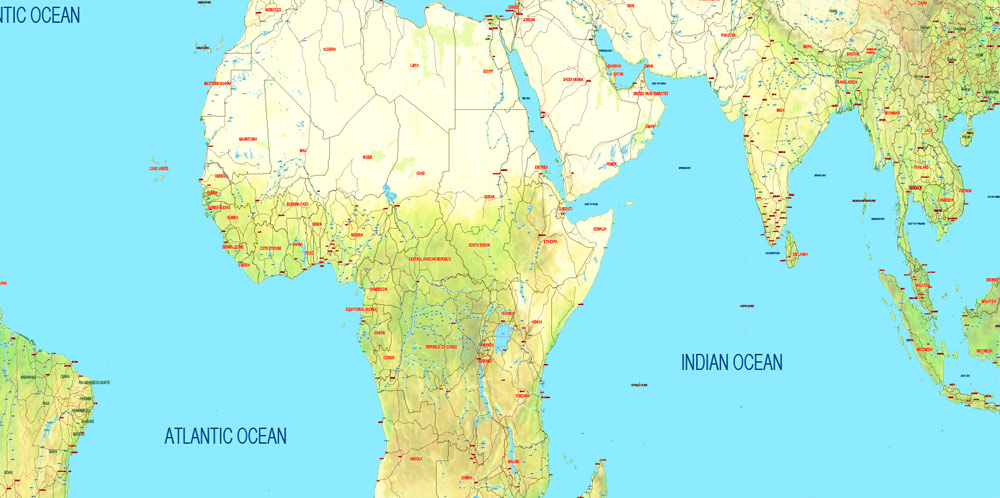
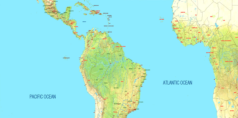
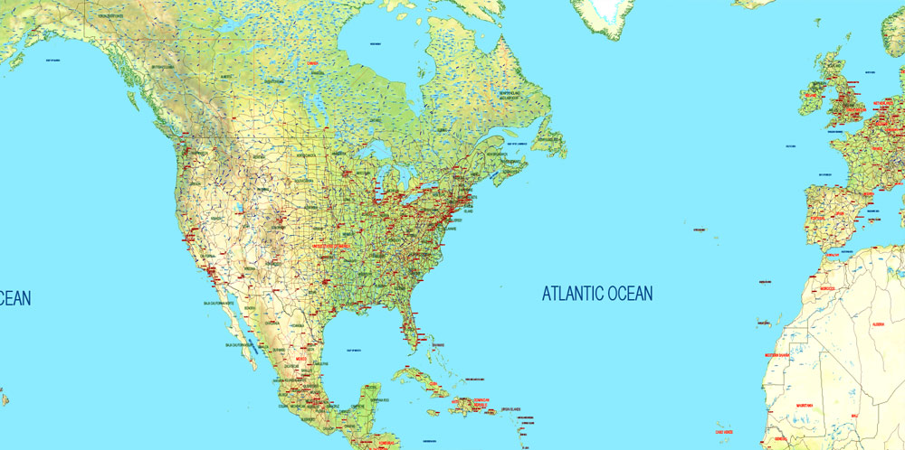
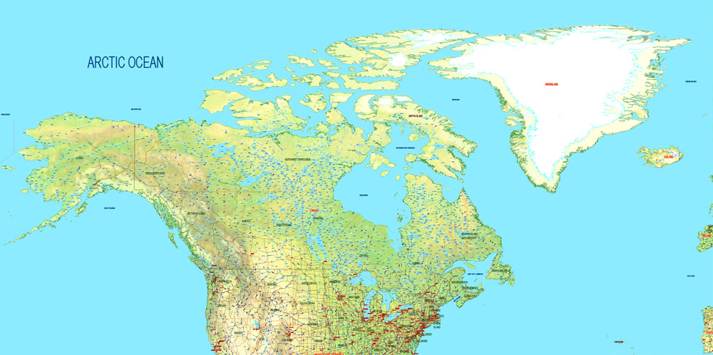
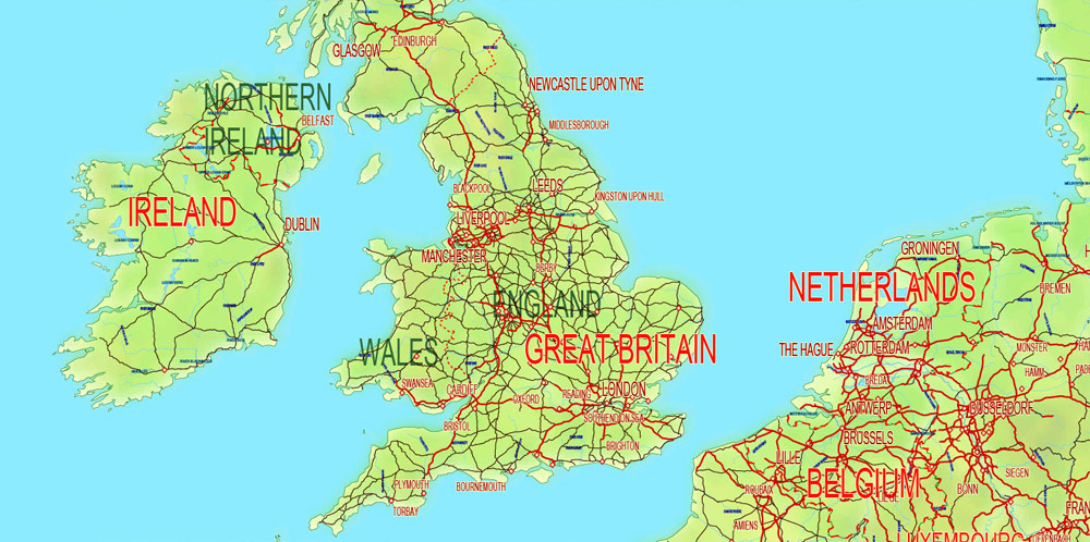
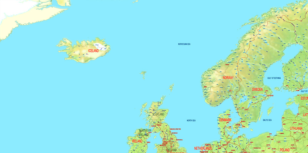
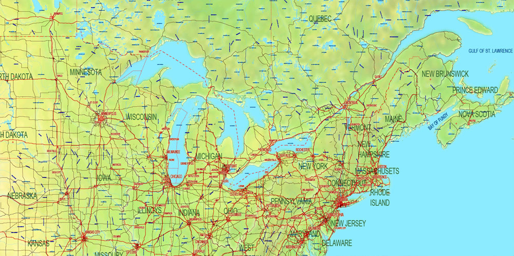
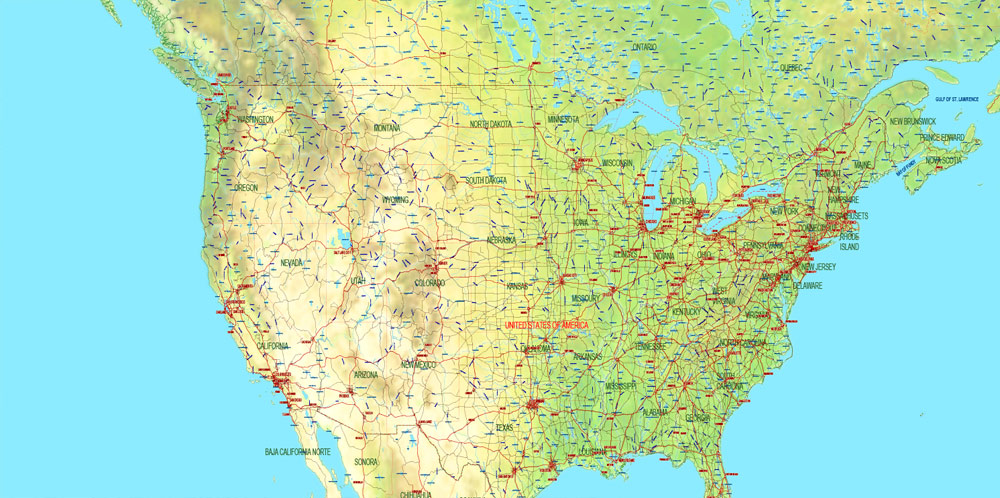
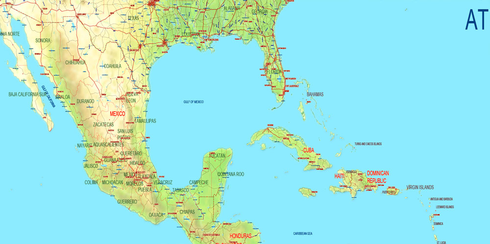
Printable PDF Vector World Relief and Political Map updated 2017 with new borders, Main Roads, main Cities, States, all names, fully editable, Adobe PDF, full vector, scalable, editable text format names, 144 Mb ZIP.
Included disputed territories.
Ideal for presentations, infographics and printing.
Layered exact editable map. Map for publishing, design, printing, publications, arts, projects, presentations, for architects, designers and builders, business, logistics. The most exact and detailed map. GEO Projection.
Separated layers: roads, countries, cities > 100.000 population, states, borders, fills, waterways with names, lakes, seas, relief. etc.
Additional files in archive: Relief TOPO (raster).
For printing LARGE format.
You can edit this file by Adobe Illustrator, Adobe Acrobat, Corel Draw.
DWG, DXF, ESRI Shapes, and other formats – by request, same price, please contact.
Free vector maps:
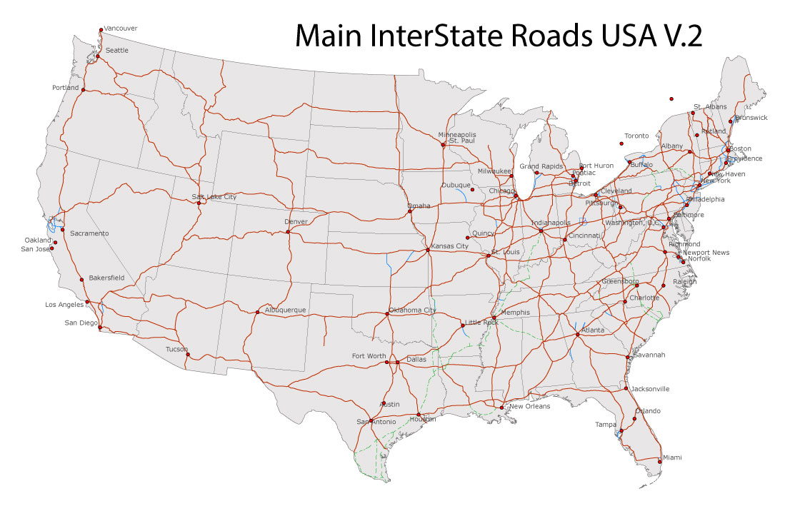
Free download Vector Map US Interstate roads, Adobe PDF, V.2 Free_Map_US_Interstates_Roads_2.pdf
Free download Vector Map US Interstate roads, Adobe Illustrator, V.2 Free_Map_US_Interstates_Roads_2.ai
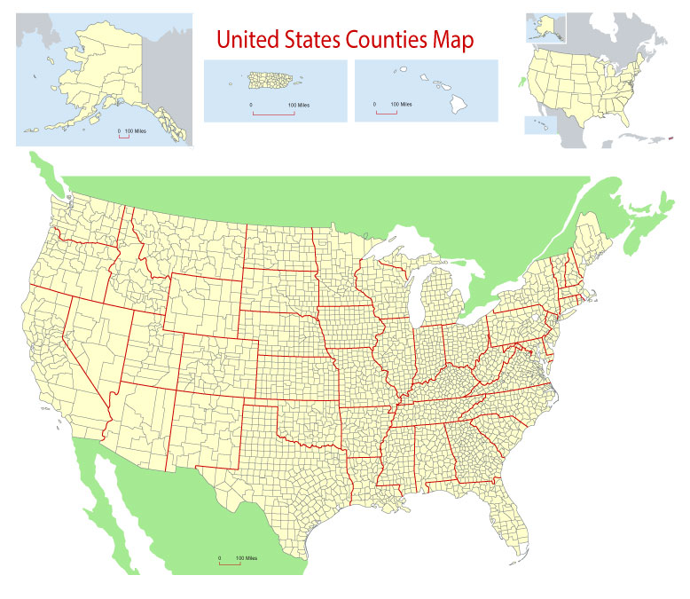
Free Download Vector Map US County and State Adobe Illustrator
Free_Vector_Map_US_States_County_Map.ai
Free Download Vector Map US County and State Adobe PDF
Free_Vector_Map_US_States_County_Map.pdf
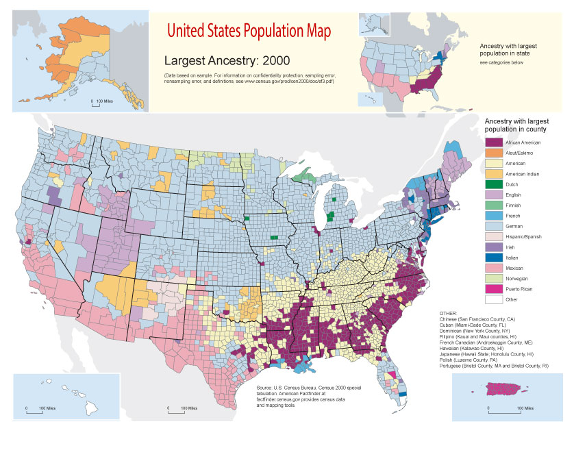
Free Vector Map US Census Data Top US Ancestries by County Adobe Illustrator
Free_Vector_Map_US_Census-Data-Top-US-Ancestries-by-County.ai
Free Vector Map US Census Data Top US Ancestries by County Adobe PDF
Free_Vector_Map_US_Census-Data-Top-US-Ancestries-by-County.pdf
Free US Maps from WIKIPEDIA
Small guide: How to work with the vector map?
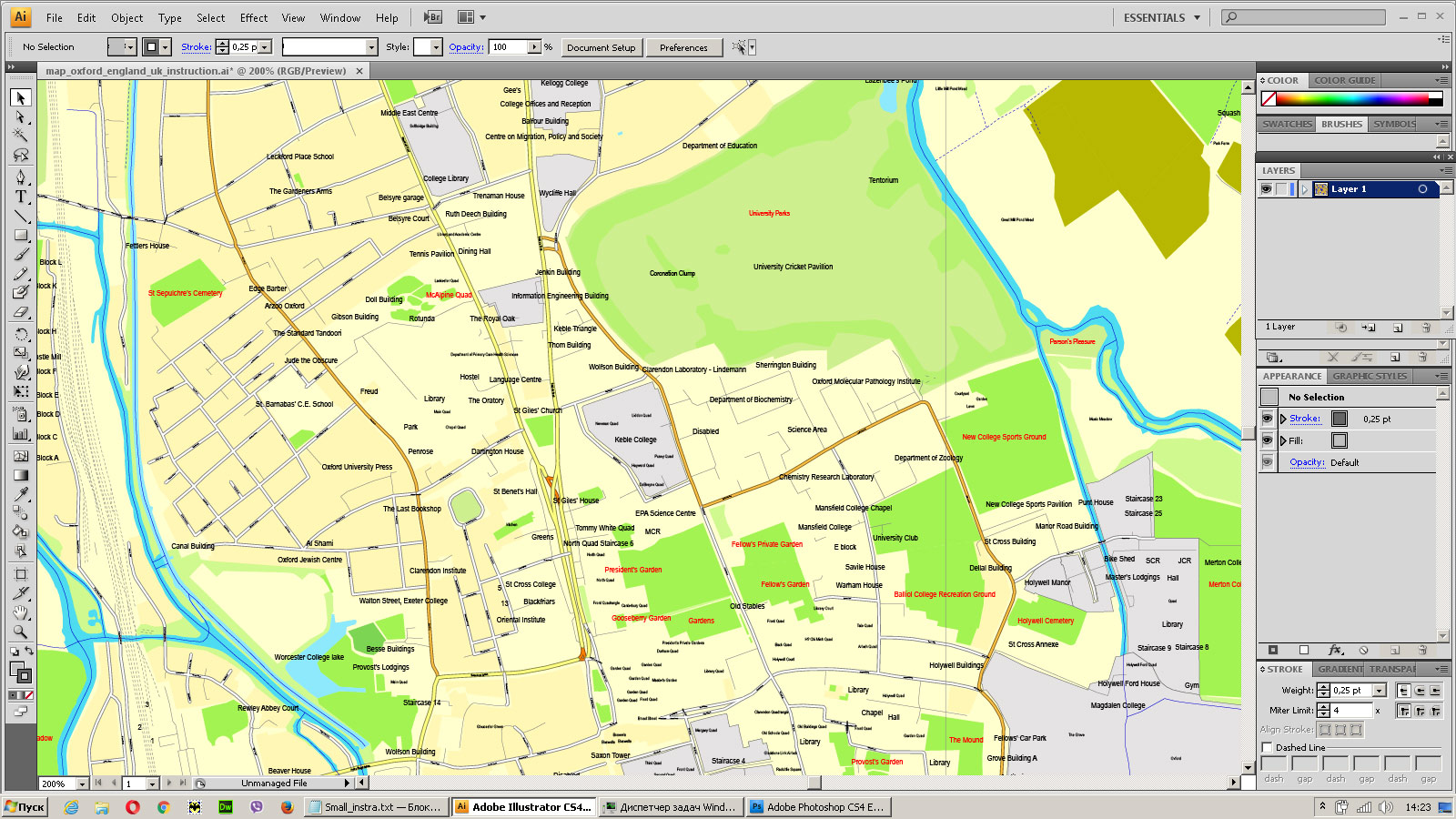
You can: Mass select objects by type and color – for example, the objects type “building” (they are usually dark gray) – and remove them from the map, if you do not need them in your print or design project. You can also easily change the thickness of lines (streets), just bulk selection the road by the line color.
The streets are separated by type, for example, type “residential road” are usually white with a gray stroke. Highway usually orange with a brown or dark gray stroke.
It is easy to change the font of inscriptions, all or each individually. Also, just can be make and any other manipulation of objects on the vector map in Adobe illustrator format.
Important: All the proportions on the map are true, that is, the relative sizes of the objects are true, because Map is based on an accurate GPS projection, and It transated into the (usual for all) the Mercator projection.
You can easily change the color, stroke and fill of any object on the map, zoom without loss of quality Image Verification.
Select object
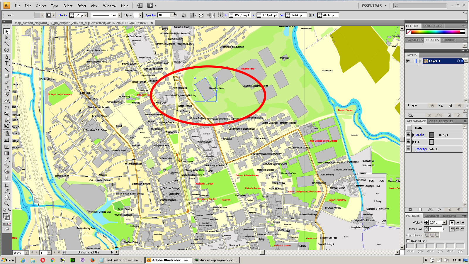
Bulk selection the same objects on the vector map
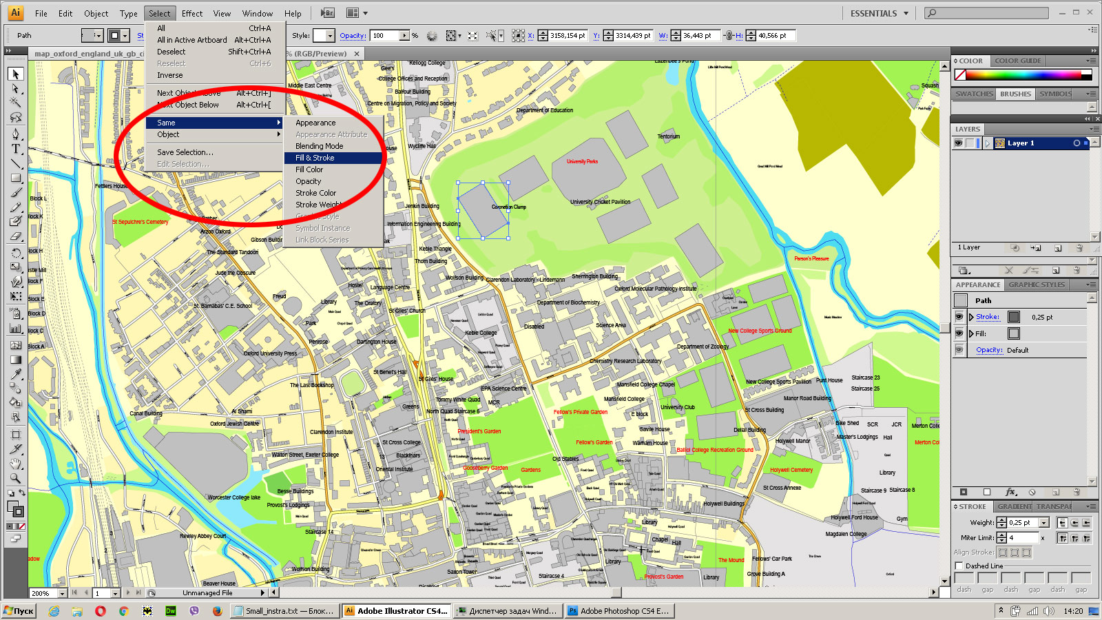
See the bulk selected objects on the vector map
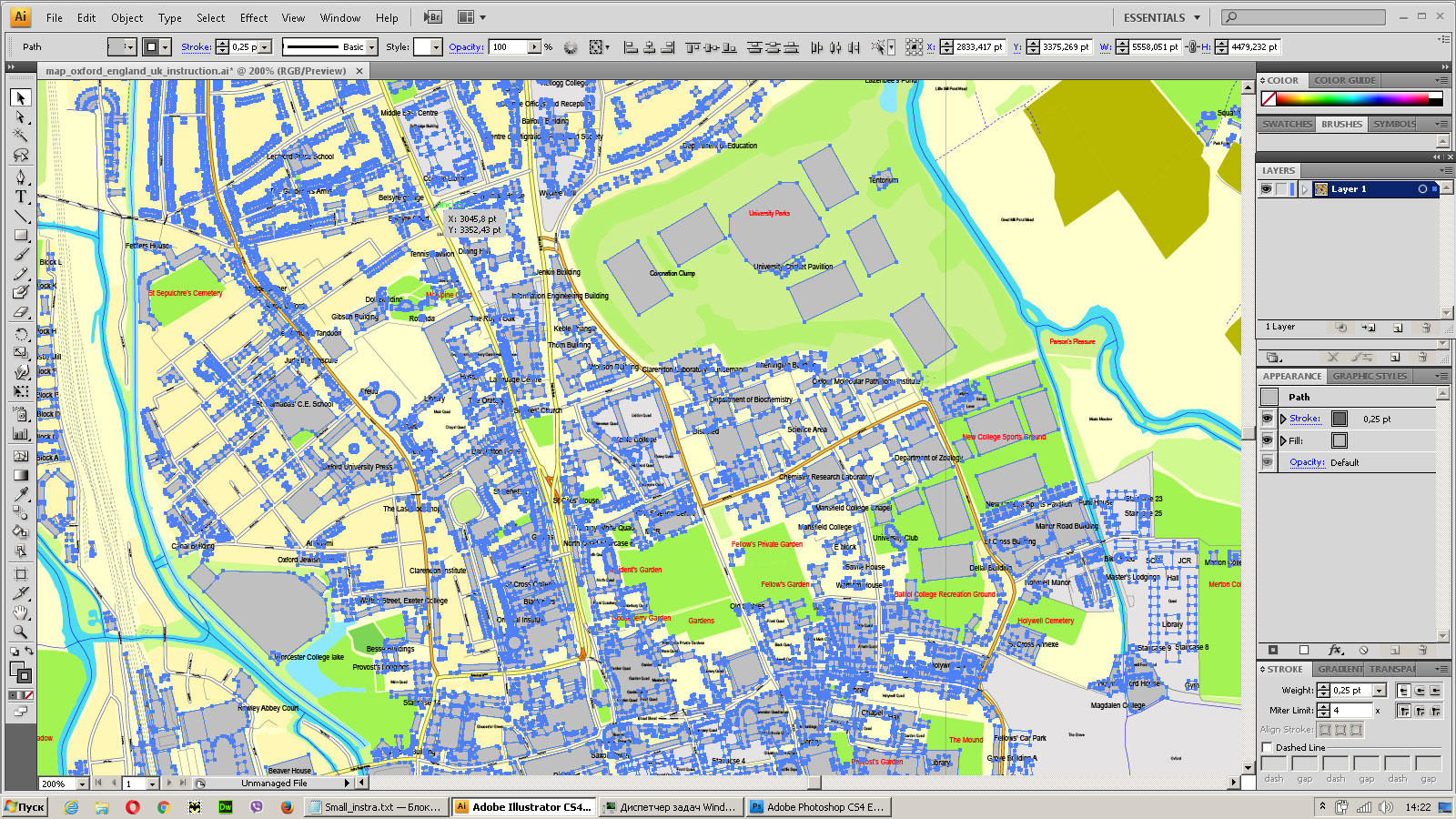
Bulk delete buildungs from the vector map
Select residencial road (small street) on the vector map
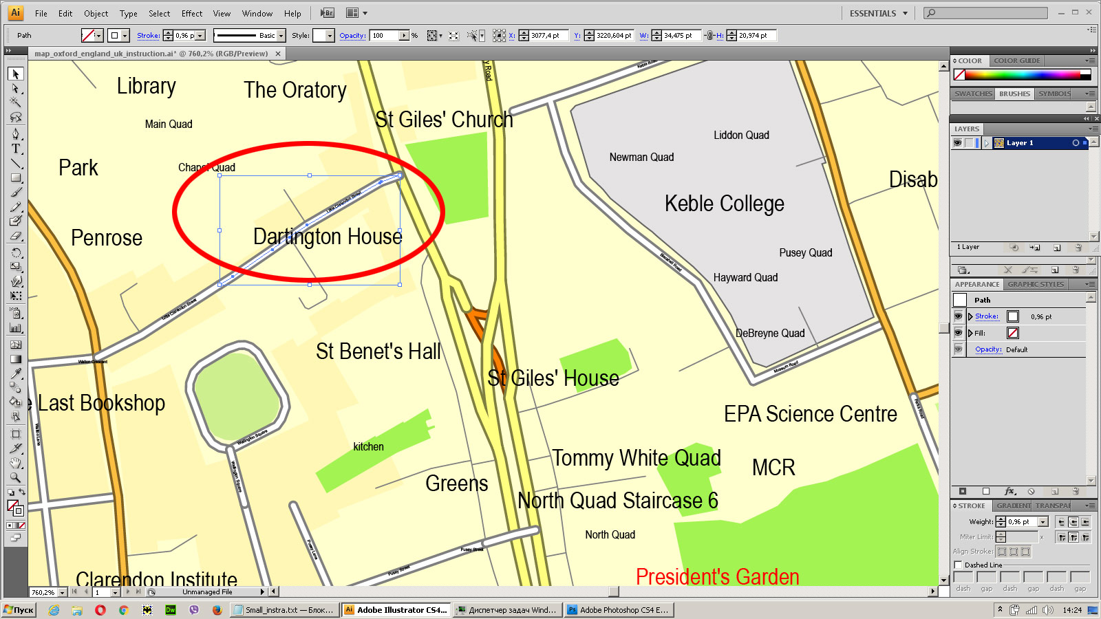
Bulk selection the same lines (streets, roads) on the full map
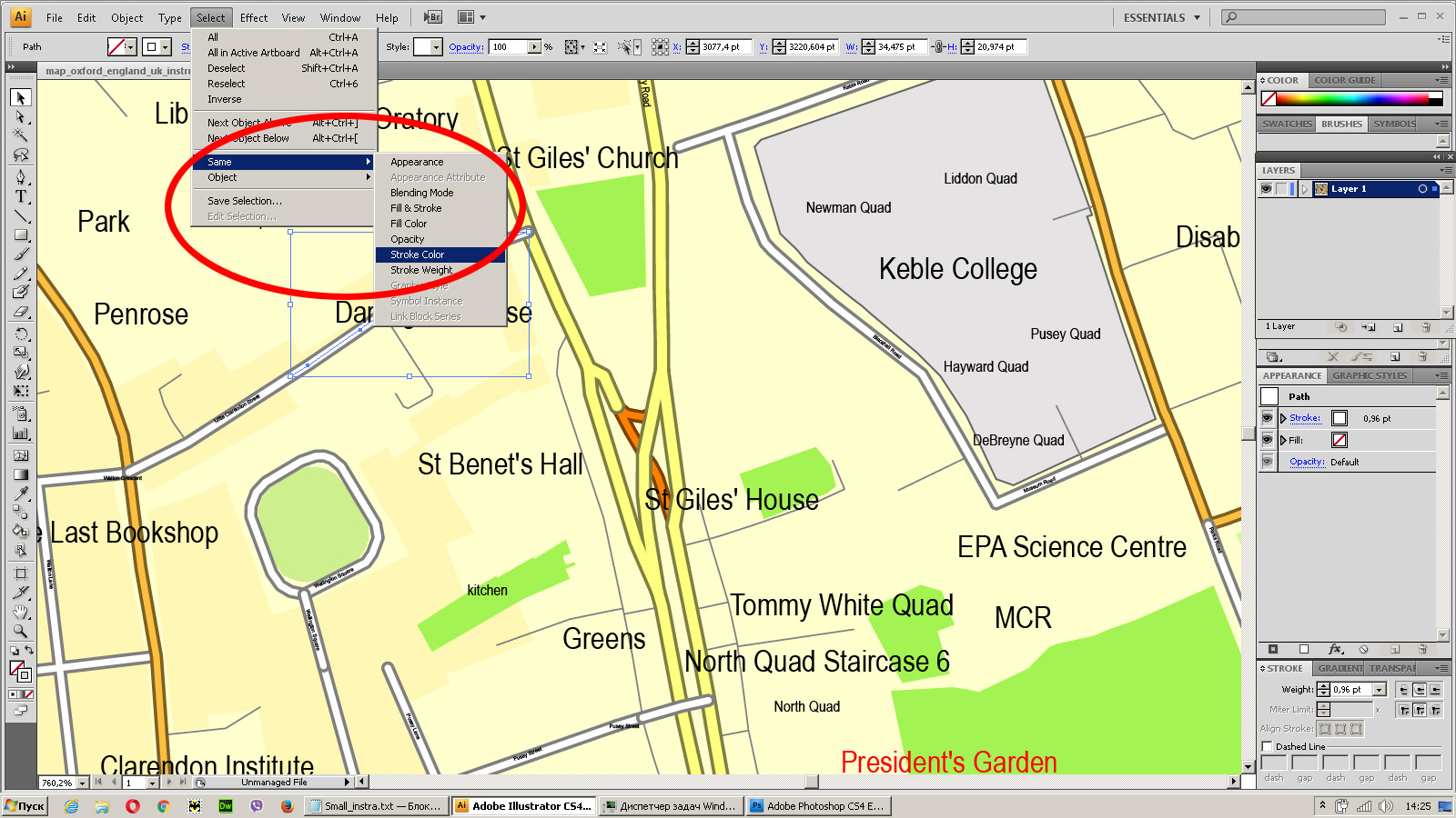
Create fat lines of the streets on the vector maps (bulk action) 1
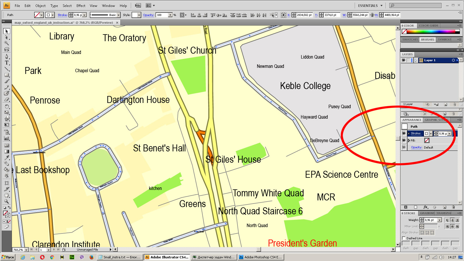
Create fat lines of the streets on the vector maps (bulk action) 2
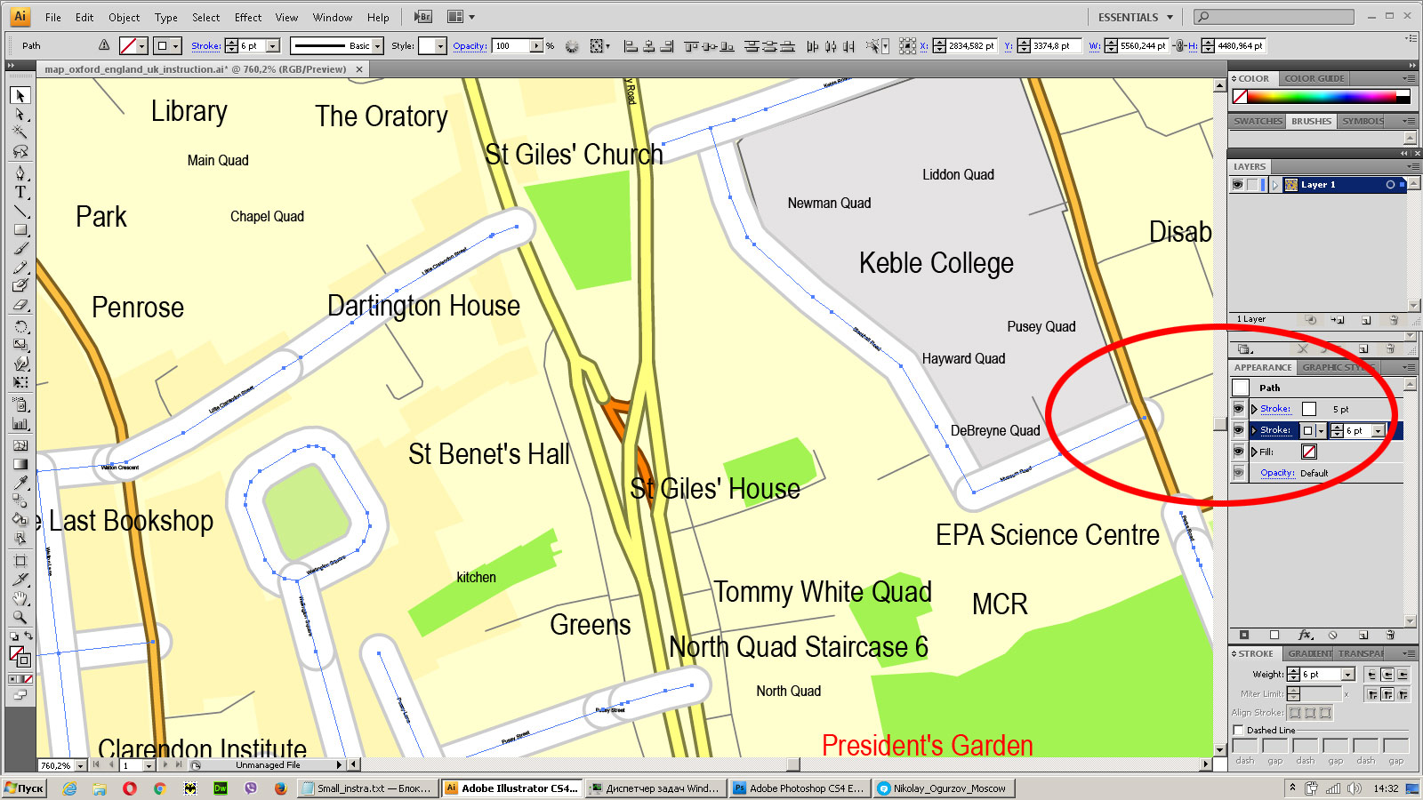
Create fat lines of the streets on the vector maps (bulk action) 3
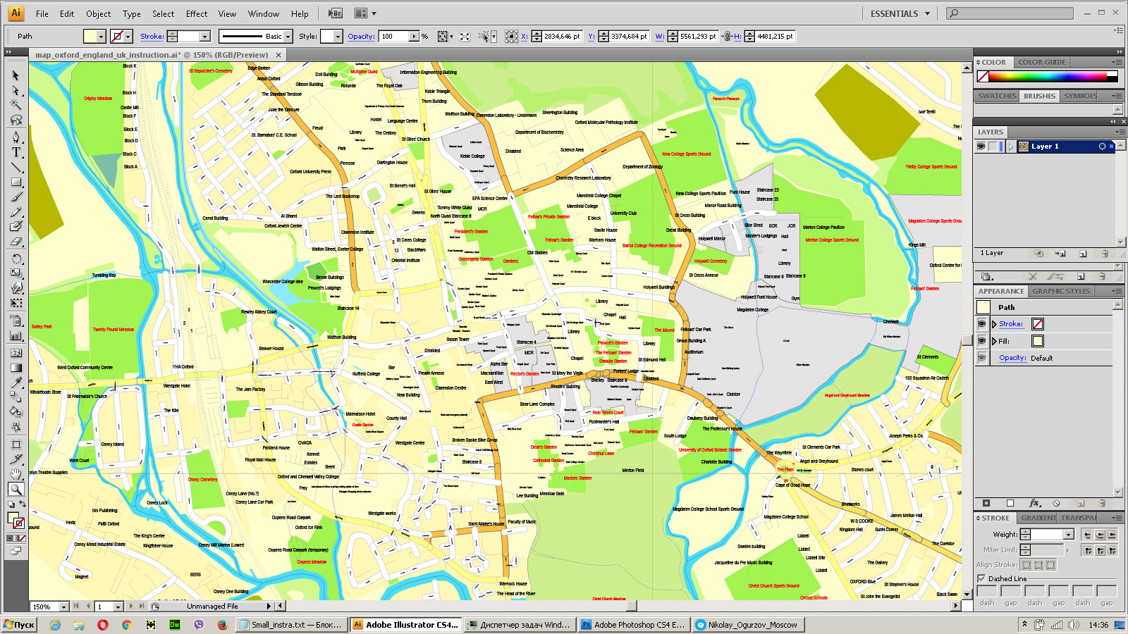
You can easily change the color, stroke and fill of any object on the map, zoom without loss of quality Image Verification.
Tips/Tricks/Tutorials & News about vector maps.
End of an Era: Lights Out at Terraserver/MSRMaps MSRMaps, the site formerly known as Terraserver, is shutting down at the end of the month. It was a groundbreaking service when it first came out, and I lost many hours poring over slow-loading aerial images and topo maps on it. In some ways I’m not surprised as even today the site could hardly be accused of being speedy, and it was clearly not Microsoft’s top priority. However its absence will still leave a large hole in the online topo field, and it seems like a good opportunity to look at the current options.
MyTopo used to be the go-to source for web-compatible topo maps, but Trimble bought them, and after 9 months of business as usual, decided it was time to take their ball and go home. You can still include their map tiles in a web app if you (1) pay them a bundle of money or (2) can live with watermarks that take up half the image. I’m not sure if using them in a smartphone app is even an option. It’s a shame because MyTopo’s map layer had a couple things going for it:
- Seamlessly integrated Forest Service maps. They made some bold claims about updating maps to reflect new USFS roads and trails, but in reality it seems like they took the Primary Base Series raster maps and added in vegetation shading, which is still no easy task.
- Canada (Montreal) and Alaska coverage.
- Normalized colors across scans. Each quad used exactly the same color for white, green, brown, etc.
ESRI makes a number of maps available via WMS and a web tile scheme, including a topo layer based on scanned USGS maps. All their licensing information seems directed at ArcGIS end-users and not websites, but it says nothing to indicate that you can’t pull it into a web map. These maps cover Alaska but not Canada; unfortunately the image quality is lower than I’d like to see. They only go to zoom 15 v. CalTopo’s 16, and even then you can see serious artifacting that suggests the images were over-compressed.
The National Map is run by the USGS and offers up a mishmash of layers via a mishmash of access schemes. Much like Terraserver, they have the older low-res DRG scans available through WMS. Although the scans leave a lot to be desired, this service seems like a good Terraserver stand-in for now.
And of course there’s my favorite high-res map layer, CalTopo. The USGS has finished high-res scans for all of the continental US except MA, so it’s time to take another pass and fix some of the coverage gaps I ran into in January. If you’d like to include any the CalTopo map layers in your web site / iPhone app / whatever, send me an email and we can work out the details.
Source.
Looking for more USA vector city maps?.
 If you have any questions, please, feel free




 We accept PayPal and all Debit or Credit Cards | Instantly Download Your Map after payment.


 Author: Kirill Shrayber, Ph.D.