PDF Map — Perth Australia
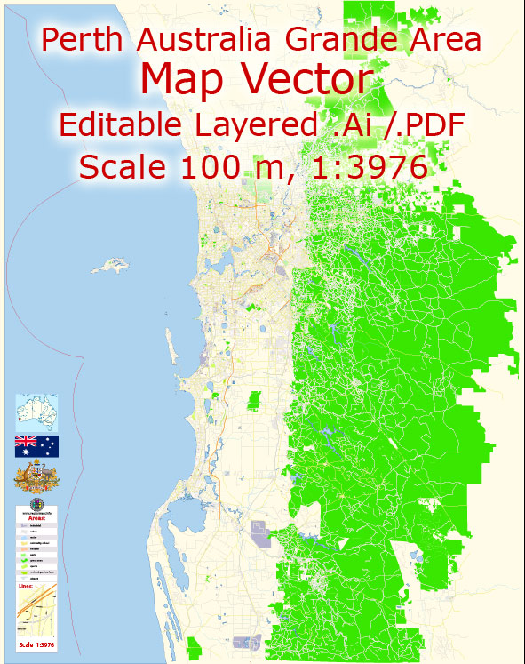
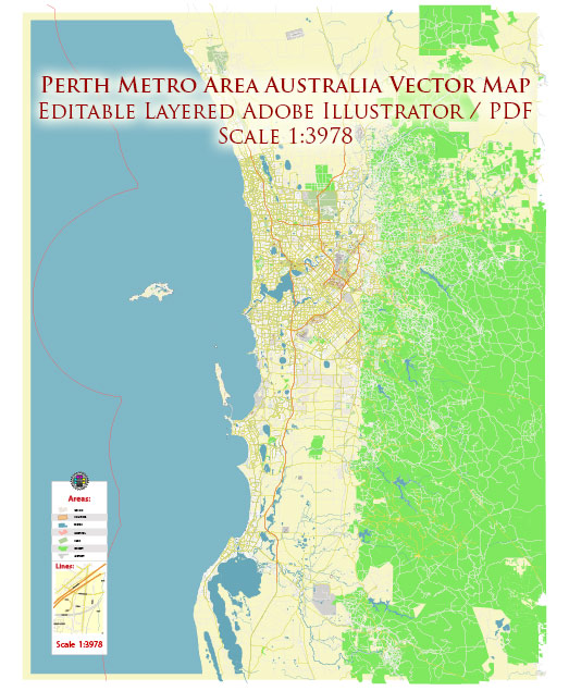
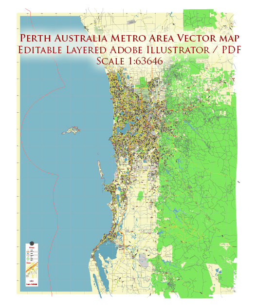
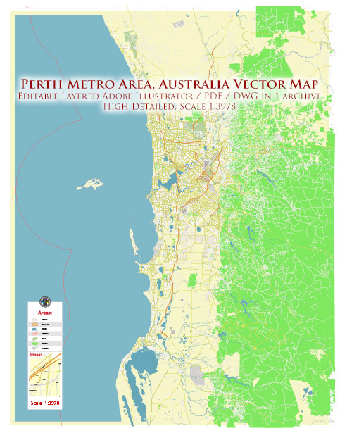
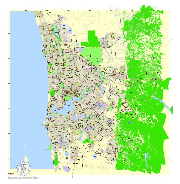
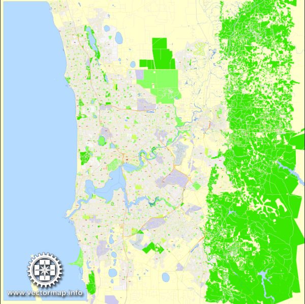
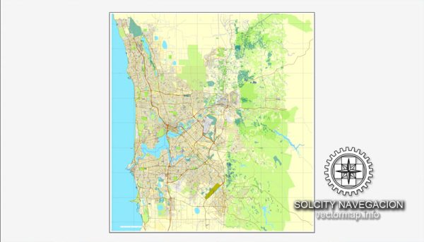
A clean PDF map of Perth Australia with named layers and consistent geometry for fast cartographic work. Waterfronts and parks receive extra separation for better contrast on light palettes. Crisp vectors preserve edges at high DPI and export compactly for web delivery. The file accepts custom grids, legends and callouts without redrawing base content. District and neighborhood labels are arranged to avoid collisions around dense cores. Coordinates and scales are prepared for sheet production and consistent exports.
Saves prepress time by reducing manual fixes and keeping the visual system consistent. Works well as an underlay for wayfinding, transport schemes and editorial layouts. Legibility holds up on handheld leaflets and large lobby posters alike. Editors can brand the palette and icons, then export sharp results for both print and web. Files remain compact thanks to clean geometry and disciplined labeling.

 Author: Kirill Shrayber, Ph.D. FRGS