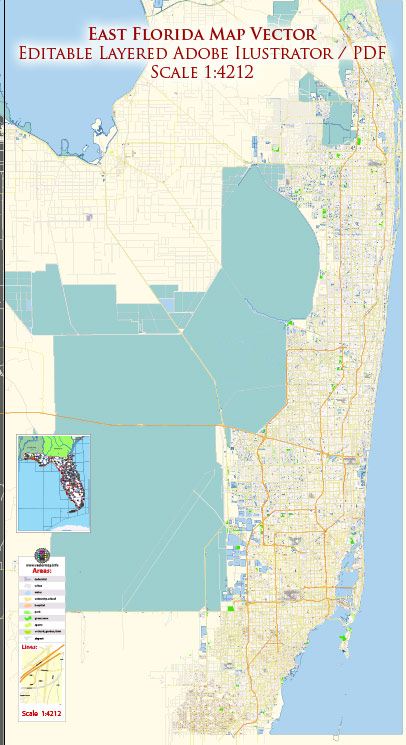
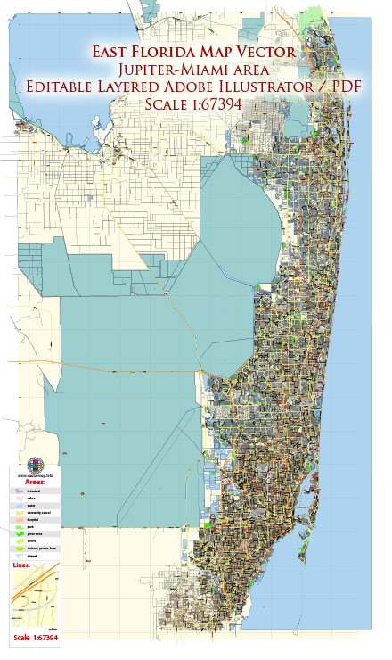
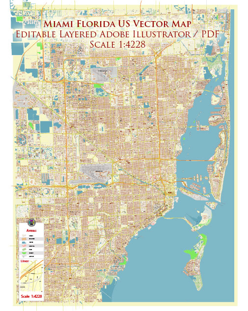
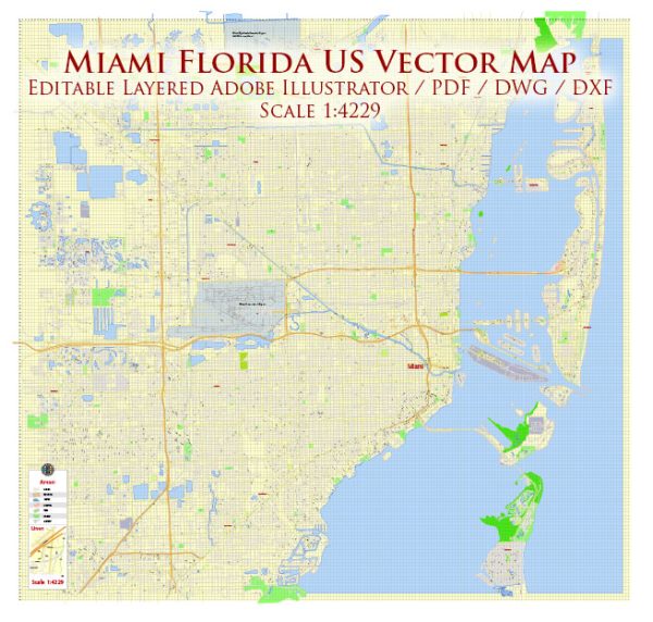
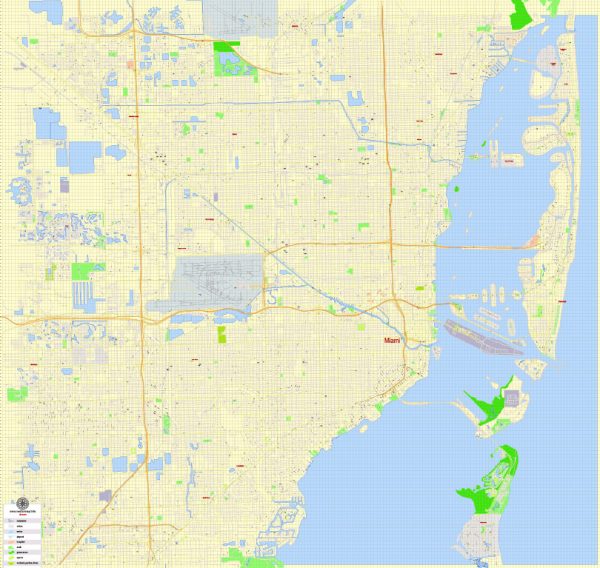
Vector Maps of the Miami : city, seat (1844) of Miami-Dade county, southeastern Florida, U.S. A major transportation and business hub, Miami is a leading resort and Atlantic Ocean port situated on Biscayne Bay at the mouth of the Miami River. The Everglades area is a short distance to the west. Greater Miami, the state’s largest urban concentration, comprises all of the county, which includes the cities of Miami Beach (across the bay), Coral Gables, Hialeah, North Miami, and many smaller municipalities and unincorporated areas; together, these make up the southern section of Florida’s “Gold Coast.”
Area:
• Total: 56.07 sq mi (145.23 km2)
• Land: 36.00 sq mi (93.23 km2)
• Water: 20.08 sq mi (52.00 km2)
• Metro: 6,137 sq mi (15,890 km2)
Instant download archives: royalty free, editable vector maps of Miami Florida in high resolution digital PDF and Adobe Illustrator format.
Vectormap.Net provide you with the most accurate and up-to-date vector maps in Adobe Illustrator, PDF and other formats, designed for editing and printing. Please read the vector map descriptions carefully.
All of our editable Miami Florida vector maps are digital files,
which can be instantly downloaded in editable PDF or Adobe Illustrator format.
Objects on maps are usually divided into layers according to their types – lines, polygons, street names, object names (see map description!!!!)
Each of our Miami Florida digital maps is available in Adobe Illustrator or editable PDF format, (or on request in any other known format for the same price)
which use a vector approach to display images,
you can easily enlarge any part of our maps without compromising text, line or graphic quality,
with any increase or decrease ratio.
Using a vector graphics editor such as Adobe Illustrator, CorelDraw, Inkscape, or Freehand
you can easily crop parts of the map, add custom characters, and change colors and font attributes as needed.
We have a variety of Miami Florida vector maps with different levels of detail, from simple empty paths to highly detailed maps with roads and terrain layers.
Don’t see exactly what you’re looking for? Contact us to receive a special offer for an individual Miami Florida map for your project.

 Author: Kirill Shrayber, Ph.D. FRGS