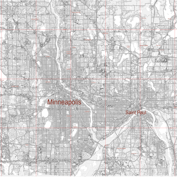
The Twin Cities of Minneapolis and Saint Paul, Minnesota, have a well-developed and integrated transportation infrastructure that supports the region’s role as a major economic and cultural hub in the Upper Midwest.
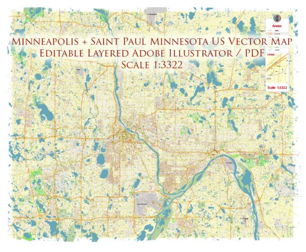
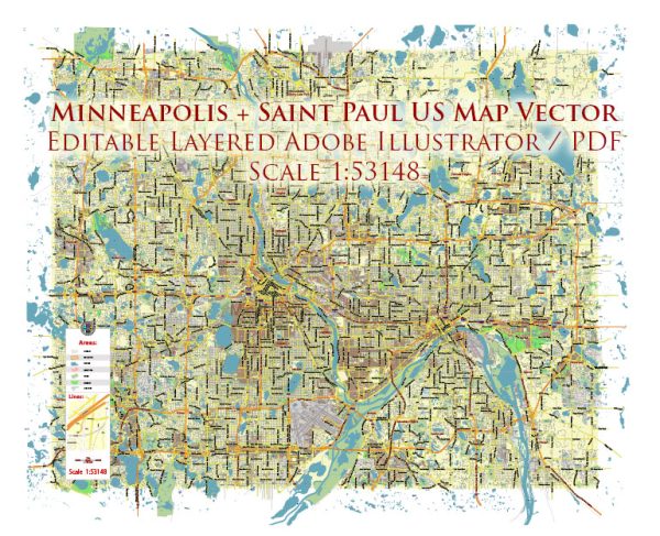
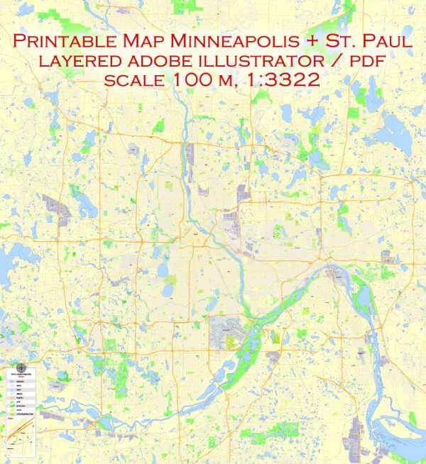
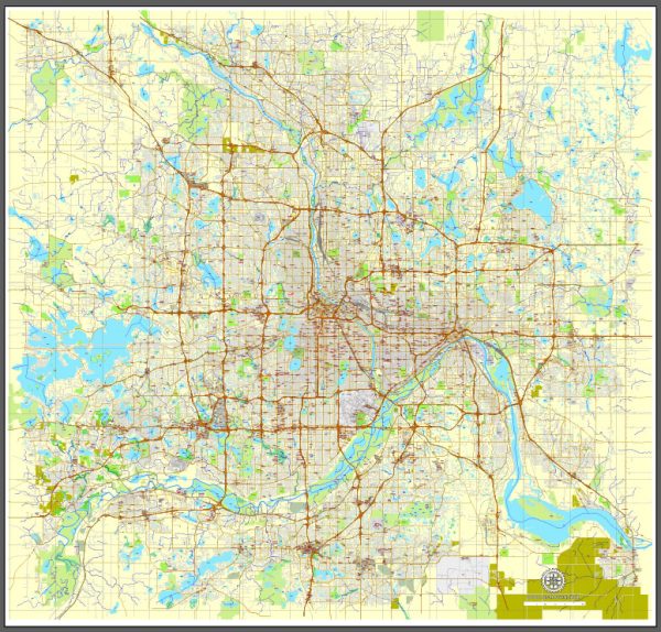
Vectormap.Net provide you with the most accurate and up-to-date vector maps in Adobe Illustrator, PDF and other formats, designed for editing and printing. Please read the vector map descriptions carefully.
This infrastructure includes an extensive network of highways, public transit, railways, airports, and bike-friendly amenities.
Here’s an overview of the transportation infrastructure in the Minneapolis-Saint Paul metropolitan area:
1. Highways and Roads
- Interstate Highways: The Twin Cities are connected by a network of interstate highways, including I-35, I-94, and I-494/I-694. I-35 splits into I-35W, which runs through Minneapolis, and I-35E, which runs through Saint Paul, before merging again south of the cities. I-94 is a major east-west route that connects the two cities and extends to Milwaukee and Chicago to the east and Fargo and Bismarck to the west.
- State Highways: In addition to interstates, several state highways crisscross the metropolitan area, such as Highway 62 (Crosstown), Highway 55, and Highway 100. These roads provide essential links between suburban and urban areas.
- Local Roads: Both cities have extensive networks of arterial roads and local streets. Notable thoroughfares include Hennepin Avenue and Lake Street in Minneapolis, and University Avenue and Snelling Avenue in Saint Paul.
2. Public Transit
- Metro Transit: Metro Transit operates the primary public transportation system in the Twin Cities, including buses, light rail, and commuter trains.
- Bus Network: Metro Transit’s bus network is extensive, covering the Twin Cities and surrounding suburbs. The system includes local routes, express services, and bus rapid transit (BRT) lines, such as the A Line and C Line, which offer faster, more frequent service.
- Light Rail: The Twin Cities are served by two major light rail lines:
- Blue Line: Connects downtown Minneapolis to the Minneapolis-Saint Paul International Airport (MSP) and the Mall of America in Bloomington.
- Green Line: Runs between downtown Minneapolis and downtown Saint Paul, passing through the University of Minnesota and several key neighborhoods.
- Commuter Rail: The Northstar Commuter Rail line provides service from downtown Minneapolis to the northwest suburbs, extending as far as Big Lake, Minnesota.
- Future Expansions: Ongoing projects aim to expand the light rail network, including the Southwest LRT (Green Line Extension) and the METRO Orange Line, a BRT route along I-35W.
3. Airports
- Minneapolis-Saint Paul International Airport (MSP): MSP is the primary airport serving the region and one of the busiest in the United States. It offers extensive domestic and international flights and is a major hub for Delta Air Lines.
- Terminals: MSP has two terminals, Terminal 1 (Lindbergh) and Terminal 2 (Humphrey), connected by the Blue Line light rail for easy access.
- Reliever Airports: Several smaller airports in the metro area, such as St. Paul Downtown Airport (Holman Field) and Flying Cloud Airport in Eden Prairie, serve general aviation, corporate flights, and cargo operations.
4. Railroads
- Freight Rail: The Twin Cities are a crucial hub for freight rail, with several major railroads, including BNSF, Canadian Pacific, Union Pacific, and Canadian National, operating extensive networks throughout the region. These railroads support the transportation of goods like agricultural products, minerals, and manufactured goods.
- Passenger Rail: Amtrak’s Empire Builder route passes through the Twin Cities, providing passenger rail service between Chicago and Seattle/Portland, with a stop at Saint Paul’s Union Depot.
5. Ports and Waterways
- Mississippi River: The Mississippi River runs through both cities, serving as a vital waterway for commercial and recreational purposes. The Port of Saint Paul is a significant inland port, handling commodities like grain, coal, and petroleum products. Barge traffic on the river connects the Twin Cities to other major river ports and the Gulf of Mexico.
- Recreational Boating: In addition to commercial use, the Mississippi River and nearby lakes are popular for recreational boating and water sports, supported by numerous marinas and public access points.
6. Biking and Pedestrian Infrastructure
- Bike Lanes and Trails: The Twin Cities are renowned for their extensive network of bike lanes and trails. Minneapolis has been repeatedly ranked as one of the most bike-friendly cities in the U.S., with over 200 miles of on-street bike lanes and off-street paths.
- Midtown Greenway: A dedicated bike and pedestrian trail running through the heart of Minneapolis, offering a quick and safe route for cyclists.
- Grand Rounds Scenic Byway: A nearly 50-mile loop that connects parks, lakes, and green spaces around Minneapolis, popular among cyclists and pedestrians.
- Nice Ride Minnesota: The cities have a popular bike-sharing program, Nice Ride Minnesota, which offers a convenient option for short trips within the urban core.
- Pedestrian Amenities: Both Minneapolis and Saint Paul have walkable downtown areas, with skyway systems that connect buildings in downtown Minneapolis and portions of Saint Paul, allowing pedestrians to move between locations without going outside, especially useful during the cold winter months.
7. Challenges and Opportunities
- Aging Infrastructure: Like many urban areas, the Twin Cities face challenges related to maintaining and upgrading aging infrastructure, particularly in terms of roads, bridges, and public transit systems.
- Transit Equity: There is an ongoing focus on improving transit access and equity, particularly in underserved neighborhoods and communities.
- Sustainability: The region is also working on sustainability initiatives, including promoting electric vehicles, expanding public transit, and enhancing bike and pedestrian infrastructure to reduce traffic congestion and lower carbon emissions.
8. Bridges
- The Twin Cities are known for their many bridges, especially over the Mississippi River, which are vital for connecting different parts of the metropolitan area. Notable bridges include the Stone Arch Bridge (now a pedestrian bridge), the Hennepin Avenue Bridge, and the Lowry Avenue Bridge, among others.
The transportation infrastructure in Minneapolis and Saint Paul is a dynamic and integral part of the region’s ability to support its residents, businesses, and visitors. It enables efficient movement across the cities, fosters economic growth, and enhances the overall quality of life.

 Author: Kirill Shrayber, Ph.D. FRGS