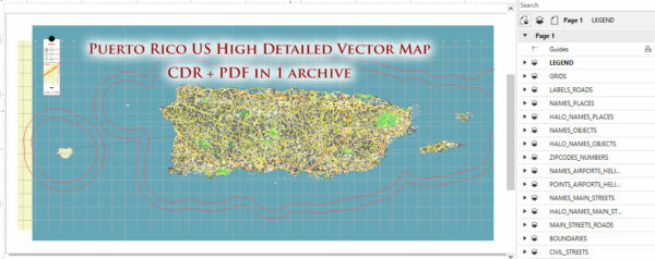
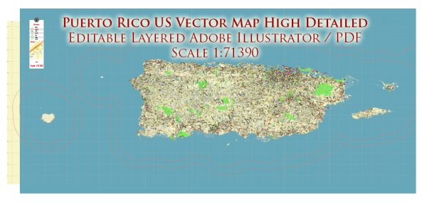
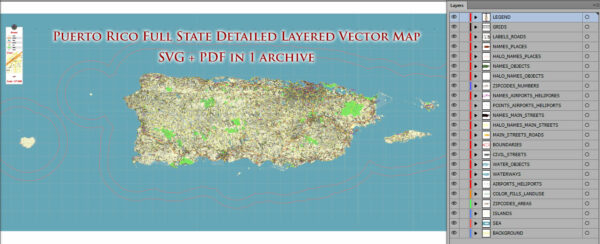
Puerto Rico is not a state but a territory of the United States. It is an archipelago located in the Caribbean, and its capital is San Juan.
Vectormap.Net provide you with the most accurate and up-to-date vector maps in Adobe Illustrator, PDF and other formats, designed for editing and printing. Please read the vector map descriptions carefully.
The following are descriptions of some of the main cities, ports, towns, and principal roads in Puerto Rico:
- San Juan:
- Description: San Juan is the capital and largest city of Puerto Rico. It is located on the northern coast of the island and is known for its historic colonial architecture, vibrant culture, and lively nightlife. Old San Juan, with its colorful buildings and cobblestone streets, is a UNESCO World Heritage Site.
- Ponce:
- Description: Ponce is the second-largest city in Puerto Rico, located on the southern coast. It is often referred to as the “Pearl of the South” and is known for its rich history, museums, and well-preserved Spanish colonial architecture.
- Mayagüez:
- Description: Mayagüez is located on the western coast of Puerto Rico and is the fifth-largest city on the island. It is an important port city and a center for trade and commerce. The city is also home to the University of Puerto Rico at Mayagüez.
- Arecibo:
- Description: Arecibo, situated on the northern coast, is known for the Arecibo Observatory, which was the world’s largest radio telescope until it collapsed in December 2020. The city has a mix of urban and rural areas and is part of the San Juan Metropolitan Area.
- Fajardo:
- Description: Fajardo is located on the eastern tip of Puerto Rico and is known for its beautiful beaches and as a gateway to the nearby islands of Culebra and Vieques. It has a significant port and is a popular destination for boating and water activities.
- Ports:
- Puerto Rico has several important ports due to its strategic location in the Caribbean. San Juan is the largest and busiest port, handling a significant portion of the island’s imports and exports. Other notable ports include Ponce, Mayagüez, Guayanilla, and Fajardo.
- Towns:
- Throughout Puerto Rico, there are numerous towns and municipalities, each with its own unique character and attractions. These include Humacao, Caguas, Aguadilla, Carolina, and many more.
- Principal Roads:
- Puerto Rico has an extensive road network that connects various cities and towns. The primary highways include PR-1, PR-2, and PR-3, which run from San Juan to Ponce, Mayagüez, and Fajardo, respectively. The island has a well-maintained system of roads and highways that facilitates transportation across different regions.


 Author: Kirill Shrayber, Ph.D. FRGS