Phoenix, Arizona is the capital and largest city in the state, and it is known for its sprawling layout and grid-based street system. The city is divided into various districts and communities, each with its own unique characteristics and offerings.
Vectormap.Net provide you with the most accurate and up-to-date vector maps in Adobe Illustrator, PDF and other formats, designed for editing and printing. Please read the vector map descriptions carefully.
Districts:
- Downtown Phoenix:
- The central business district with skyscrapers, government offices, and cultural institutions.
- Home to the Phoenix Convention Center, Chase Field (baseball stadium), and Talking Stick Resort Arena (basketball arena).
- Arts and culture thrive in this area, with museums, theaters, and galleries.
- Scottsdale:
- Adjacent to Phoenix, known for upscale shopping, dining, and entertainment.
- Old Town Scottsdale is famous for its historic charm, art galleries, and nightlife.
- Tempe:
- Home to Arizona State University (ASU), bringing a vibrant and youthful atmosphere.
- Mill Avenue is a popular destination with shops, restaurants, and bars.
- Arcadia:
- An affluent residential area with tree-lined streets and upscale homes.
- Known for its well-manicured lawns and proximity to the Camelback Mountain.
- Biltmore Area:
- Features the upscale Biltmore Fashion Park and the Arizona Biltmore Hotel.
- Known for luxury real estate, golf courses, and high-end shopping.
- Ahwatukee Foothills:
- Located in the southern part of the city, it’s a suburban area with a mix of residential and commercial developments.
- Offers a more suburban lifestyle with parks, schools, and shopping centers.
Communities:
- Maryvale:
- A residential area in the western part of Phoenix.
- Home to the Maryvale Baseball Park and a diverse community.
- North Central Phoenix:
- A mix of historic neighborhoods, each with its own character.
- Central Corridor is known for its mid-century modern architecture.
- Deer Valley:
- Located in the northern part of the city, known for its suburban feel.
- Deer Valley Airport and the Deer Valley Towne Center are key features.
Street System:
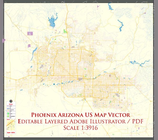
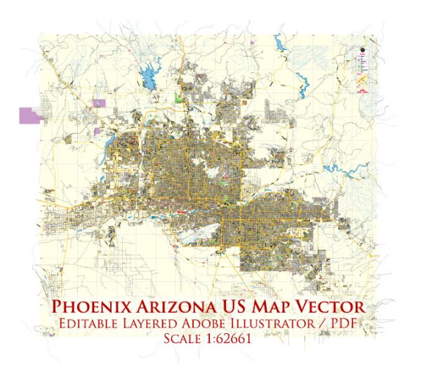
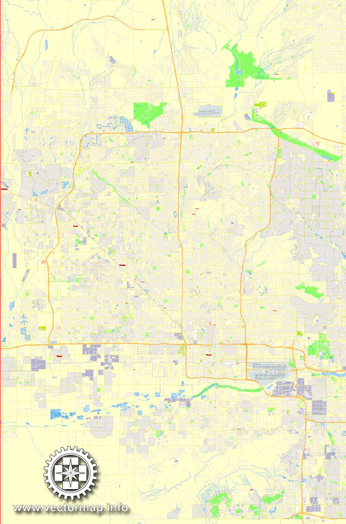
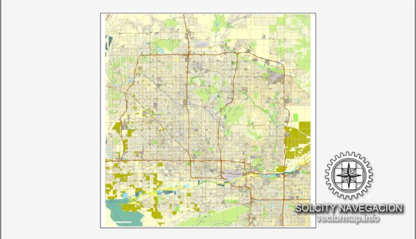
Phoenix has a grid-based street system, with major roads running north-south and east-west. The city is divided into street segments, with major roads typically spaced one mile apart. The main arterial roads include:
- Central Avenue: Divides the city into east and west sections.
- Van Buren Street: Divides the city into north and south sections.
- Interstate 10 (I-10): Major east-west highway passing through Phoenix.
- Loop 101 and Loop 202: Major beltways providing connectivity around the city.
The city is generally easy to navigate due to the grid system, but traffic congestion can vary depending on the time of day and specific areas. Public transportation options include buses and a light rail system, providing an alternative for those who prefer not to drive.

 Author: Kirill Shrayber, Ph.D. FRGS