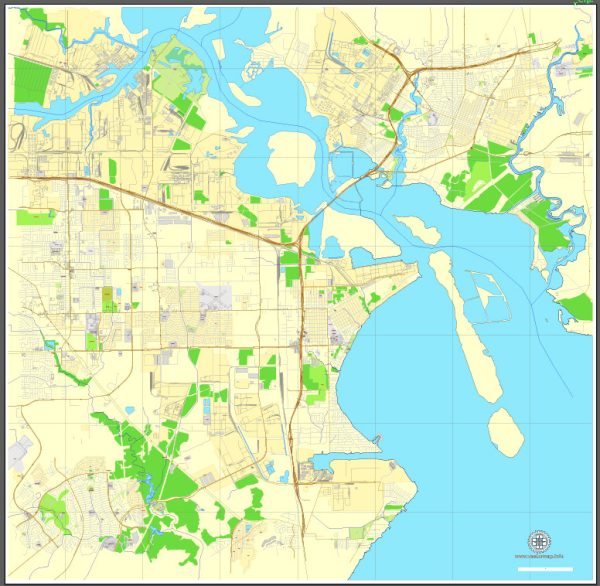
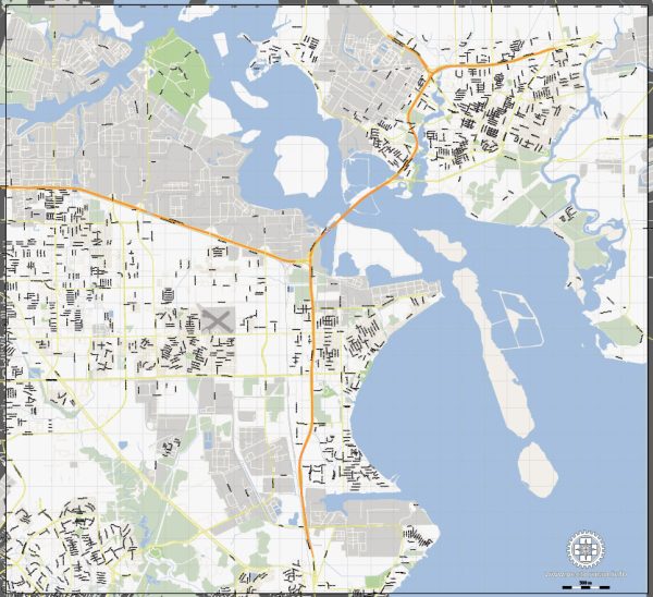
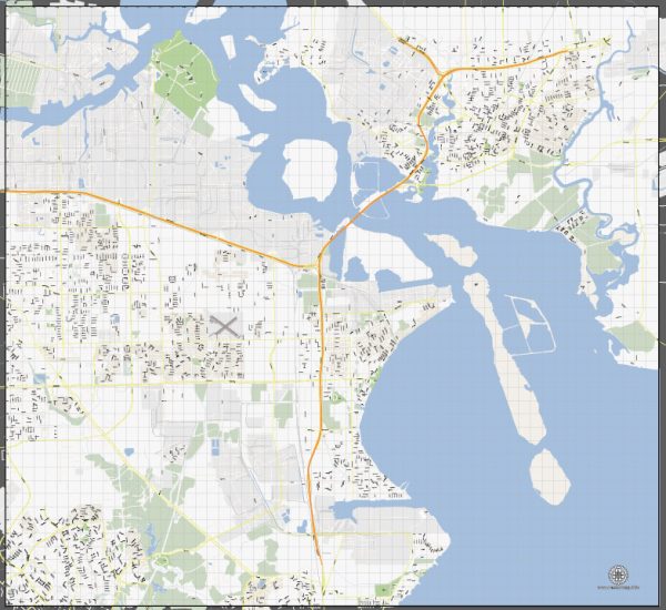
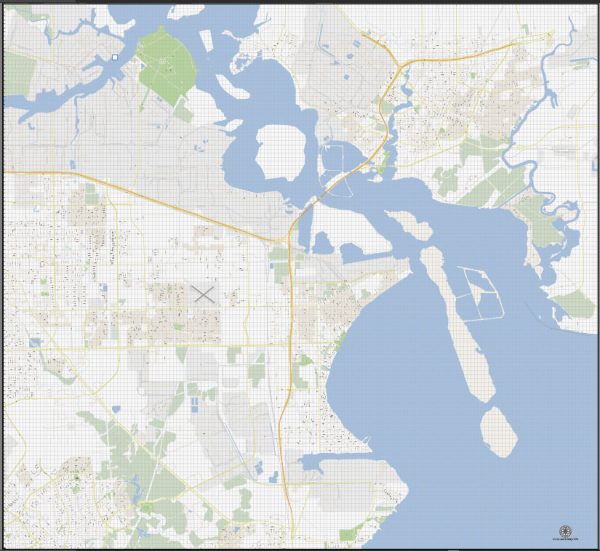
La Porte and Baytown are neighboring cities located in the southeastern part of Texas, United States. Both cities are part of the Houston metropolitan area, which is one of the largest and most economically significant metropolitan areas in the United States.
Vectormap.Net provide you with the most accurate and up-to-date vector maps in Adobe Illustrator, PDF and other formats, designed for editing and printing. Please read the vector map descriptions carefully.
Economic Overview:
- Petrochemical Industry: The economic landscape of La Porte and Baytown is heavily influenced by the petrochemical industry. The region is home to numerous petrochemical plants, refineries, and industrial facilities. The presence of major companies in the oil and gas sector contributes significantly to the local economy.
- Employment Opportunities: The petrochemical industry is a major employer in the area, offering a range of job opportunities in manufacturing, engineering, and related fields. Additionally, the proximity to Houston provides access to diverse job markets, including healthcare, technology, and finance.
- Port of Houston: The Port of Houston, one of the largest ports in the United States, plays a crucial role in the economic activities of the region. It facilitates the import and export of goods, serving as a key transportation hub for various industries.
- Small Business Presence: Besides large industrial players, there is also a presence of small businesses catering to the local community. These may include retail, services, and other businesses supporting the diverse needs of the population.
Transportation Connections:
- Highways: La Porte and Baytown are well-connected by a network of highways. Interstate 10 (I-10) is a major east-west highway connecting these cities to Houston and other parts of the state. Other important highways include State Highway 146 and State Highway 225.
- Port of Houston: The Port of Houston is a vital component of the transportation infrastructure, facilitating the movement of goods through its container terminals and various facilities. It is a significant contributor to the economic activities of the region.
- Rail: The area is served by railroads, enhancing the transportation of goods and materials, particularly for the industrial sector. Rail connections contribute to the efficient movement of raw materials and finished products.
- Airports: The region is serviced by several airports, including William P. Hobby Airport and George Bush Intercontinental Airport in Houston, providing convenient air travel options for both business and leisure purposes.
It’s important to note that economic and transportation landscapes can evolve, and developments may have occurred since my last update in January 2022. For the most current and specific information, it’s advisable to consult local government sources, economic development agencies, and transportation authorities in the La Porte and Baytown areas.


 Author: Kirill Shrayber, Ph.D. FRGS