History of Dublin, Ireland:
Dublin, the capital city of Ireland, has a rich and varied history that spans over a thousand years. Here is a brief overview:
- Viking Dublin (9th-10th centuries): Dublin’s history dates back to the arrival of the Vikings in the 9th century. They established a settlement, which eventually became a significant trading hub.
- Medieval Dublin (11th-17th centuries): The city continued to grow in importance during the medieval period. Dublin Castle, initially built in the 13th century, played a central role in governance. The city faced challenges such as the Black Death and various conflicts, including the Anglo-Norman invasion and the Tudor conquest.
- Early Modern Period (17th-18th centuries): Dublin saw increased influence during the English colonization of Ireland. The city expanded with the construction of Georgian architecture, and Trinity College was founded in 1592.
- 19th Century and Independence: The 19th century saw significant political and social changes. Dublin played a key role in the struggle for Irish independence, culminating in the establishment of the Irish Free State in 1922.
- 20th Century to Present: Dublin continued to evolve in the 20th century, facing challenges such as economic downturns and political unrest. However, in recent decades, it has experienced economic growth, becoming a major European capital with a vibrant cultural scene.
Transportation Infrastructure:
Dublin has a well-developed transportation network encompassing various modes of travel.
- Public Transportation:
- Dublin Bus: The primary bus service in the city and its suburbs, connecting residential areas with the city center.
- DART (Dublin Area Rapid Transit): A suburban rail network connecting the city center with coastal areas.
- LUAS: A light rail/tram system with two lines, the Green Line and the Red Line, providing convenient links to different parts of the city.
- Railways:
- Heuston Station: A major railway station serving the west and south-west of Ireland.
- Connolly Station: Another major railway station connecting Dublin with the north, north-west, and east of Ireland.
- Roads:
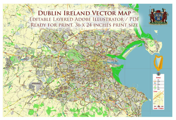
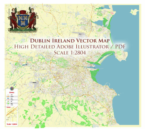
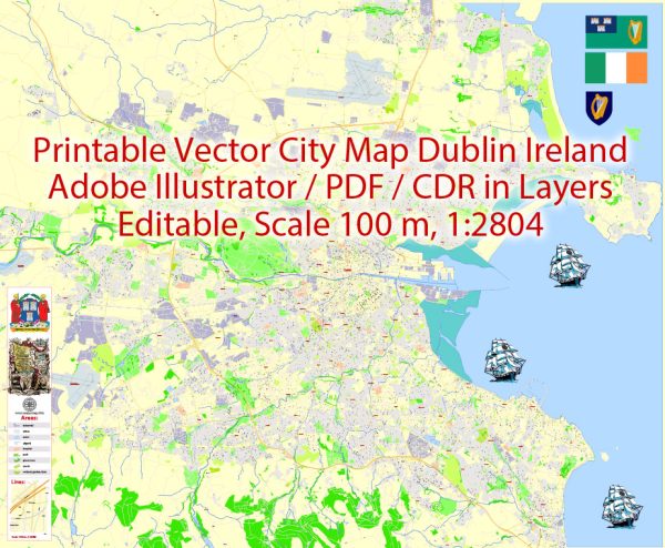
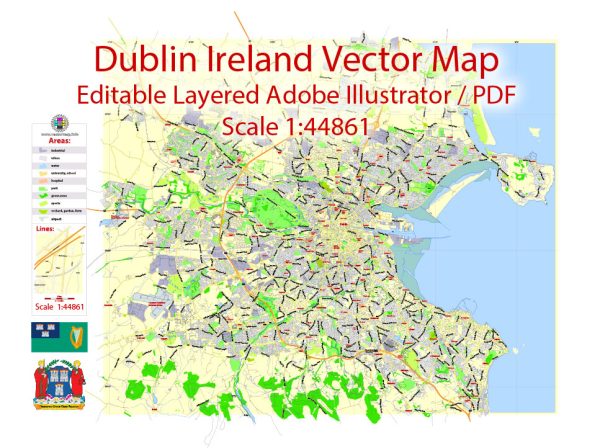
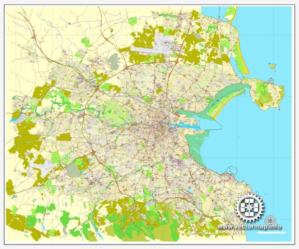
- M50 Motorway: An orbital motorway encircling the city, easing traffic congestion.
- N1, N2, N3, N4, N7, N11: Major national roads radiating from Dublin, connecting it with other parts of Ireland.
- Air Transportation:
- Dublin Airport: Located to the north of the city, it is the busiest airport in Ireland, offering both domestic and international flights.
- Cycling and Pedestrian Infrastructure:
- Dublin has been working on enhancing cycling infrastructure with dedicated bike lanes and public bike-sharing schemes. The city center is also pedestrian-friendly, with many areas accessible on foot.
The transportation infrastructure in Dublin reflects its status as a modern European capital, providing residents and visitors with diverse and efficient options for travel.

 Author: Kirill Shrayber, Ph.D. FRGS