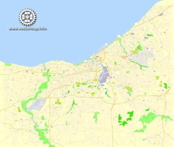
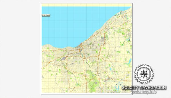
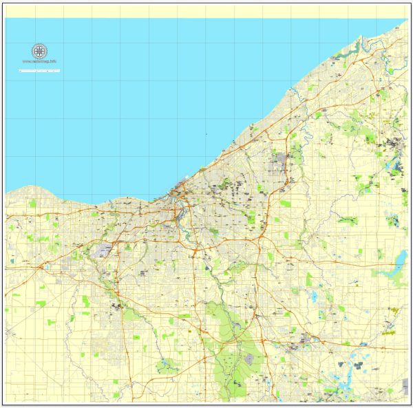
Cleveland, Ohio, has a well-developed transportation infrastructure that included various modes of transportation, such as highways, public transit, airports, and railroads.
Vectormap.Net provide you with the most accurate and up-to-date vector maps in Adobe Illustrator, PDF and other formats, designed for editing and printing. Please read the vector map descriptions carefully.
- Highways:
- Cleveland is served by a network of major highways, including I-71, I-77, I-90, and I-480. These highways connect the city to other major cities in the region and provide efficient transportation for both residents and businesses.
- Public Transit:
- The Greater Cleveland Regional Transit Authority (RTA) operates public transit services in the Cleveland metropolitan area. This includes a bus network, rapid transit (known as the RTA Rapid Transit or “The Rapid”), and trolleybus services.
- Railroads:
- Cleveland has a significant railroad presence, with multiple rail lines passing through the city. Rail transportation is crucial for the movement of goods and plays a role in the industrial and manufacturing sectors.
- Airports:
- Cleveland Hopkins International Airport (CLE) is the primary airport serving the region. Located southwest of downtown Cleveland, it connects the city to domestic and international destinations. The airport provides a range of passenger services, cargo facilities, and plays a vital role in the economic development of the area.
- Port of Cleveland:
- Situated on the shores of Lake Erie, the Port of Cleveland is an important inland port. It facilitates the transportation of goods by water, connecting the city to the Great Lakes and the Saint Lawrence Seaway, enhancing trade and shipping capabilities.
- Biking and Pedestrian Infrastructure:
- Cleveland has been making efforts to improve biking and pedestrian infrastructure. The city has implemented bike lanes, trails, and other facilities to promote alternative modes of transportation and enhance the overall connectivity of the city.
- Bridges:
- Given its location along the Cuyahoga River and Lake Erie, Cleveland is home to several bridges that play a crucial role in connecting different parts of the city. Notable bridges include the Detroit-Superior Bridge, the Hope Memorial Bridge, and the Lorain-Carnegie Bridge.
- Traffic Management:
- Traffic management and infrastructure maintenance are essential components of Cleveland’s transportation system. The city employs various technologies and systems to manage traffic flow efficiently.



 Author: Kirill Shrayber, Ph.D. FRGS