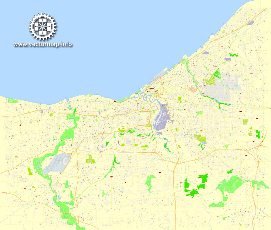
Printable CDR Map Cleveland OH, exact vector street 100 meters scale map, fully editable, CorelDraw, scalable, editable text format street names, 12 Mb ZIP.
All streets named, main objects, no buildings. Map for publishing, design, printing, publications, arts, projects, presentations, for architects, designers and builders, business, logistics. The most exact and detailed map of the city.
Separated layers: streets and roads, color fills, road labels, names 1,2,3, street arrows, scales.
DWG, DXF and other formats – by request, same price, please contact.
Cleveland, Ohio, USA.
This vector map of Cleveland city is used as a basis for design, editing, and further printing.
This is the most detailed, exact map of Cleveland city for high-quality printing and polygraphy. You can always clarify the map development date by contacting us.
For your convenience, all objects on Cleveland vector city map are divided into layers. And the editing is very easy – colors, lines, etc.
You can easily add any objects needed (e.g. shops, salons, sale points, gas station or attraction) on any layer of Cleveland vector map.
Cleveland is a major city in Ohio on the shores of Lake Erie. Landmarks dating to its days as a turn-of-the-20th-century manufacturing center include the Steamship William G. Mather, now part of the Great Lakes Science Center. It’s also known for the stately Cleveland Museum of Art, the Cleveland Orchestra, and the I.M. Pei–designed Rock and Roll Hall of Fame & Museum.
One of the advantages of Cleveland city vector maps of our production is the relevance of cartographic data, we constantly update all our products.
This vector map of Cleveland city is used by:
designers, layout designers, printers, advertisers and architects. Our product – vector maps – is designed for further editing and printing in large formats – from @Wall format (a few meters) to A-0 and A-1, A-2, A-3.
The Cleveland city map in vector format is used for design, urban planning, presentations and media visualizations.
The advertising and presentation map of Cleveland city (usually the final designer marks the routes, and puts the client’s objects (shops, saloons, gas stations etc.)
The undoubted advantage is that people will NEVER throw out this advertising product – the map. In fact, as an advertising medium, a city map is the most “long-playing” of the well-known polygraphic advertising media, with the longest lifespan, and the maximum number of interactions with the customer.
Greater Cleveland is ranked as the 32nd-largest metropolitan area in the U.S., with 2,055,612 people in 2016. The city anchors the Cleveland–Akron–Canton Combined Statistical Area, which had a population of 3,515,646 in 2010 and is ranked 15th in the United States.
It was founded in 1796 near the mouth of the Cuyahoga River.
For travelers, maps are sold at the airports and gas stations around the world. Often the source is our vector maps.
Take a look, who purchases our vector maps of Cleveland city in “Our Clients and Friends” page – these are large and small companies, from super-brands like Volvo and Starbucks, to small design studios and printing houses.
It’s very easy to work with vector maps of Cleveland city, even for a not very experienced designer who can turn on and off the map layers, add new objects, change the colors of fill and lines according to customer requirements.
The undoubted advantage of Cleveland city vector maps in printing is an excellent and detailed visualization, when customer can expand a large paper map and instantly define his location, find a landmark, an object or address on map, unlike using the popular electronic formats of Google and Yandex maps for example.
Printable vector maps of Cleveland city are much more convenient and efficient than any electronic maps on your smartphone, because ALL DETAILS are displayed in the entire space of Cleveland city map.
It became a manufacturing center due to its location on both the river and the lake shore, as well as being connected to numerous canals and railroad lines.
Cleveland’s economy relies on diversified sectors such as manufacturing, financial services, healthcare, and biomedicals. Cleveland is also home to the Rock and Roll Hall of Fame.
Useful tips on working with vector maps of cities and countries in Adobe Illustrator.
«V» – launches the Selection tool (cursor, black arrow), which makes active any vector line.
«А» – launches the Direct Selection tool (white cursor), allows you to select curve elements and drag them to the desired place.
«R» – activates the Rotate tool, which helps you rotating selected objects around the center point by 360 degrees.
«E» – gives you the opportunity to use the Eraser tool and erase unnecessary parts.
«X» – switches between Fill and Stroke in the Tools section. Try to get used to this hot key and
you will quickly understand that you can’t live and work without it.
Guides are not limited to vertical and horizontal in Adobe Illustrator. You can also create a diagonal guide for example. Moreover, you can turn any contours into guides. Select the outline and go to View > Guides > Make Guides (Create Guides), or simply press Cmd/Ctrl + 5. You can also turn the guides back into an editable object. Go to menu, View > Guides > Unlock Guides (Release Guides), select the guide you want to edit and select View > Guides > Release Guides (Reset Guides), or just press Cmd/Ctrl + Option / Alt + 5).
Cleveland residents are called Clevelanders. The city has many nicknames, the oldest of which in contemporary use being The Forest City.
Geography
Topography
According to the United States Census Bureau, the city has a total area of 82.47 square miles (213.60 km2), of which 77.70 square miles (201.24 km2) is land and 4.77 square miles (12.35 km2) is water. The shore of Lake Erie is 569 feet (173 m) above sea level; however, the city lies on a series of irregular bluffs lying roughly parallel to the lake.
One of the advantages of Cleveland city vector maps of our production is the relevance of cartographic data, we constantly update all our products.
You will probably want to change the color scheme used on our Cleveland vector city map.
To quickly and effectively play with colors.
Of course, you can do it manually, all objects in our Cleveland city vector map are divided according to types and layers, and you can easily change the color gamma of vector objects in groups and layers.
But there is more effective way of working with the whole VECTOR MAP of Cleveland city and all layers:
The overview dialog «Edit colors»/«Repaint Graphic Object» (this dialog box name can change depending on the context):
If you have selected a part or a layer of Cleveland city vector map and open the dialog box by clicking the icon in the Control panel, on the Samples palette or the Color Catalog, or if you choose Edit > Edit Colors> Repaint Graphic Object, then the «Repaint Graphic Object» dialog box appears, and you get access to «Assign» and «Edit» tabs.
If a picture or a map fragment is not selected, and you open the dialog box by clicking the icon in the Control panel, on the Samples palette or in the Color Catalog, the «Edit Colors» dialog box appears and you can only access the «Edit» tab.
Regardless of the name at the top of the dialog box, the right-hand side always displays the color group of the current document, as well as two default color groups: Print Color and Grayscale. These color groups can be selected and used any time.
Create and edit color groups of Cleveland city vector map, and also assign colors using the «Edit Colors»/ а «Repaint Graphic Object» dialog box.
A. Creating and editing of a color group on the «Edit» tab
B. Assigning colors on the «Assign» tab
C. Select a group of colors from the «Color groups» list
The option «Repaint a graphic object» in the lower part of the dialog box allows you to preview the colors on a selected layer of Vector map, or a group of elements, and specify whether its colors will be redefined when the dialog box is closed.
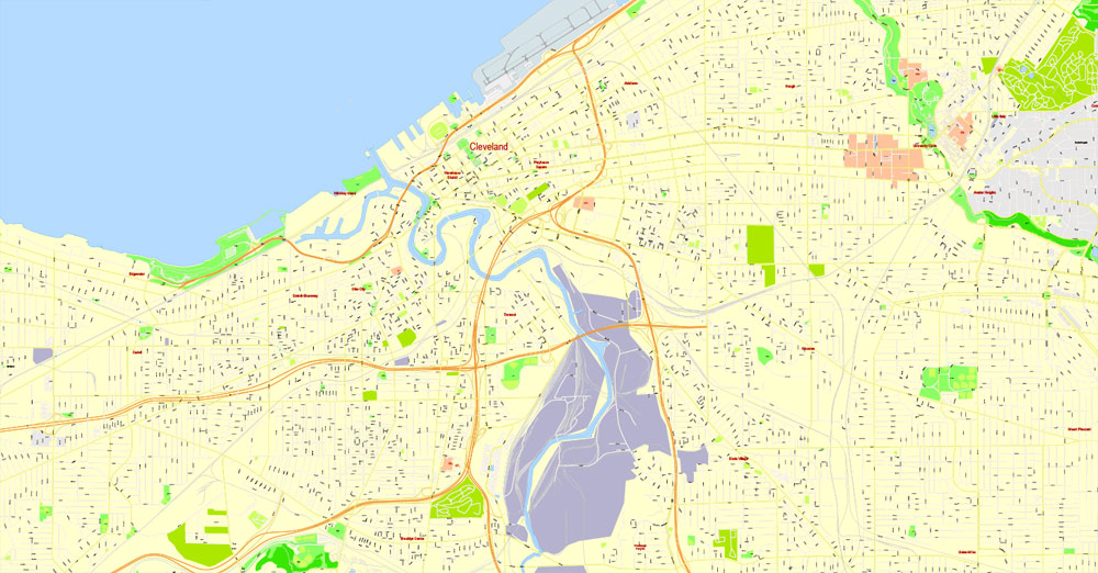
In Cleveland these bluffs are cut principally by the Cuyahoga River, Big Creek, and Euclid Creek.
The land rises quickly from the lake shore. Public Square, less than one mile (1.6 km) inland, sits at an elevation of 650 feet (198 m), and Hopkins Airport, 5 miles (8 km) inland from the lake, is at an elevation of 791 feet (241 m).
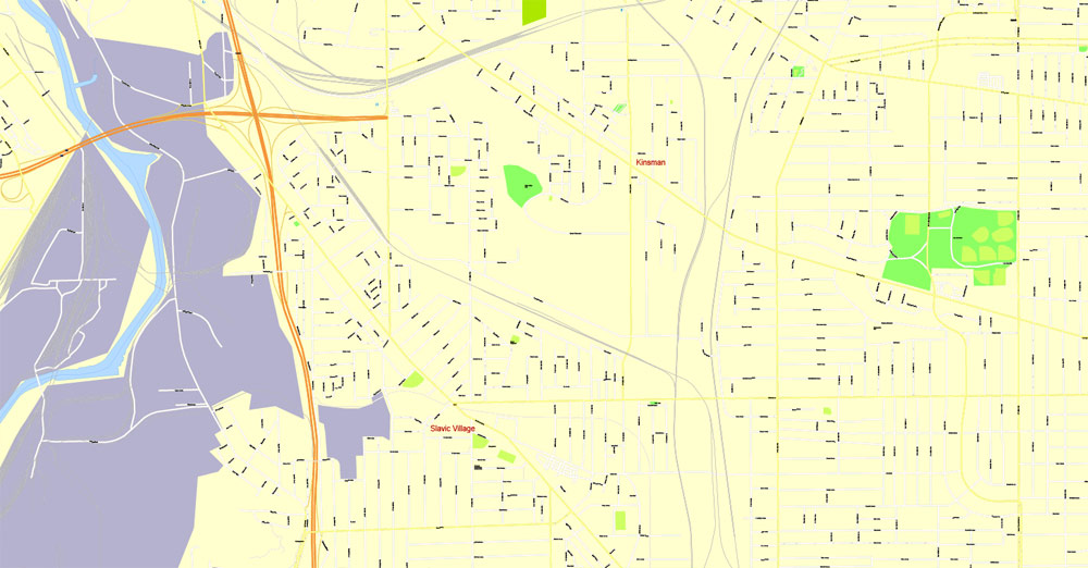
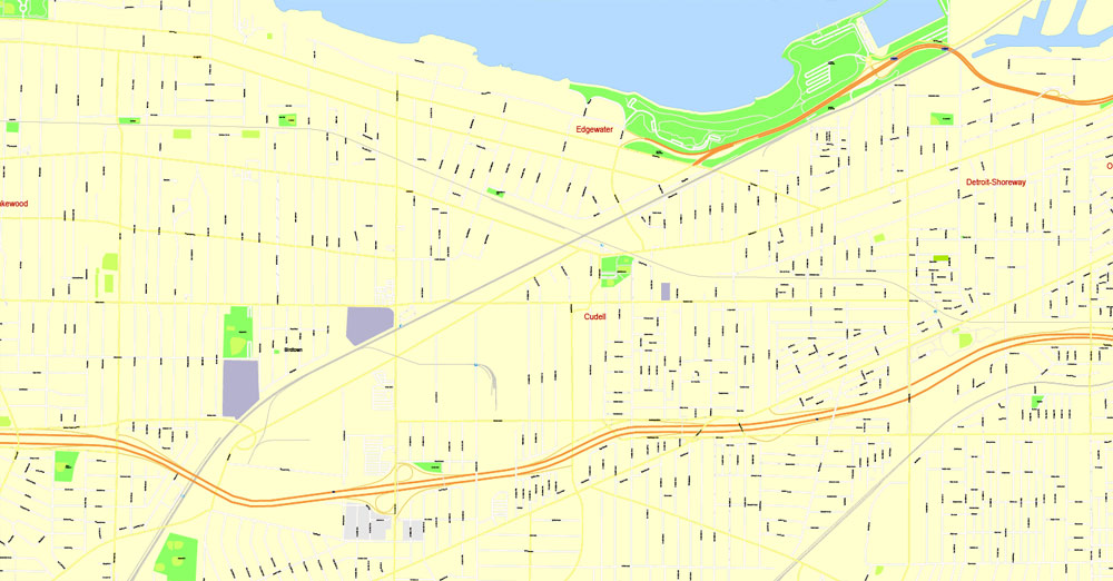
Neighborhoods
The west bank of the Flats and the Cuyahoga River in downtown Cleveland
The main areas of the dialog box are:
«Edit»
The «Edit» tab is designed to create a new or edit the existing color groups.
The harmony rules Menu and the Color Wheel are used to conduct experiments with color harmonies. The color wheel shows how colors are related in color harmony, and the color bars allow you to view and manipulate an individual color values. In addition, you can adjust the brightness, add and remove colors, save color groups and view colors on the selected Vector Map of Cleveland city or a separated layers.
«Assign»
The «Assign» tab is used to view and control on how the original colors are replaced with colors from the color group like your corporate colors in the Vector Map of Cleveland city.
The assign color ability is provided only if the entire map, layer or fragment is selected in the document. You can specify which of new colors replace the current colors, whether the spot colors should be preserved and how colors are replaced (for example, you can replace colors completely or changing the color tone while maintaining the brightness). The «Assign» tab allows you to redefine colors in the Vector Map of Cleveland city, or in separate layers and fragments using the current color group or reducing the number of colors in the current Vector Map.
Color groups
Is a list of all saved color groups for current document (the same groups appear in the «Samples» palette). You can edit and delete the existing color groups, as well as creating a new ones using the list of “Color Groups” in the dialog box. All changes appear in the «Samples» palette.
The highlighted color group shows, which color group is currently edited.
Any color group can be selected and edited, or used to redefine the colors in the selected vector map of Cleveland city, its fragments or elements.
Saving a color group adds this group to the specified list.
Opening the «Edit Colors»/«Repaint Graphic Object» dialog box.
Open the «Edit Colors»/«Repaint Graphic Object» dialog box using one of the following methods:
«Edit»> «Edit Colors»> «Repaint Graphic object» or «Repaint With Style».
Use these commands if you need to edit the colors in the selected vector map of Cleveland city.
«Repaint Graphic object» button on the «Control» panel.
Use this button if you need to adjust colors of Cleveland city vector map using the а «Repaint graphic object» dialog box.
The specified button is available if the selected vector map or its fragment contains two or more colors.
Note. This color editing method is convenient for global color adjustment in a vector map, if global colors were not used when creating a City Map of Cleveland.
The «Edit colors» button or «Edit or apply colors» on the «Color Catalog» palette
Click this button if you need to edit colors on the «Color Catalog» palette or edit and then apply them to the selected Vector Map of Cleveland city or its fragment.
The «Edit color group» button or «Edit or apply color group» on the «Samples» palette.
Click this button if you need to edit the colors in the specific color group or edit and apply them to the selected Vector Map of Cleveland city or a group of its elements, for example, the whole layer “Streets and lines”. You can also double-click the color group in the Samples panel to open the dialog box.
If the map file is too large and your computer freezes or even can’t open it quickly:
1. Try to reduce the color resolution of the video card (display) to 256 colors while working with a large map.
2. Using Windows Task Manager, select all the application you don’t need, while working with map, just turn them off.
3. Launch Adobe Illustrator. (DO NOT OPEN the vector map file)
4. Start the Windows Task Manager using administrator rights > Find the “Illustrator” process > set the «real time» priority,
5. Open the file. When you see the LEGACY FONT popup window – click “OK” (do not update). You can restore the TEXT later.
6. Can also be useful: When file is opened – Edit > Settings > Basic Settings > disable smoothing. /// It looks scary, but works quickly)))
We recommend saving the file in Adobe Illustrator 10 version. It’s much more stable when working with VERY BIG size files.
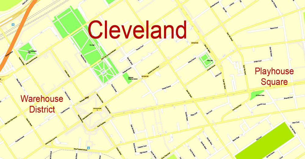
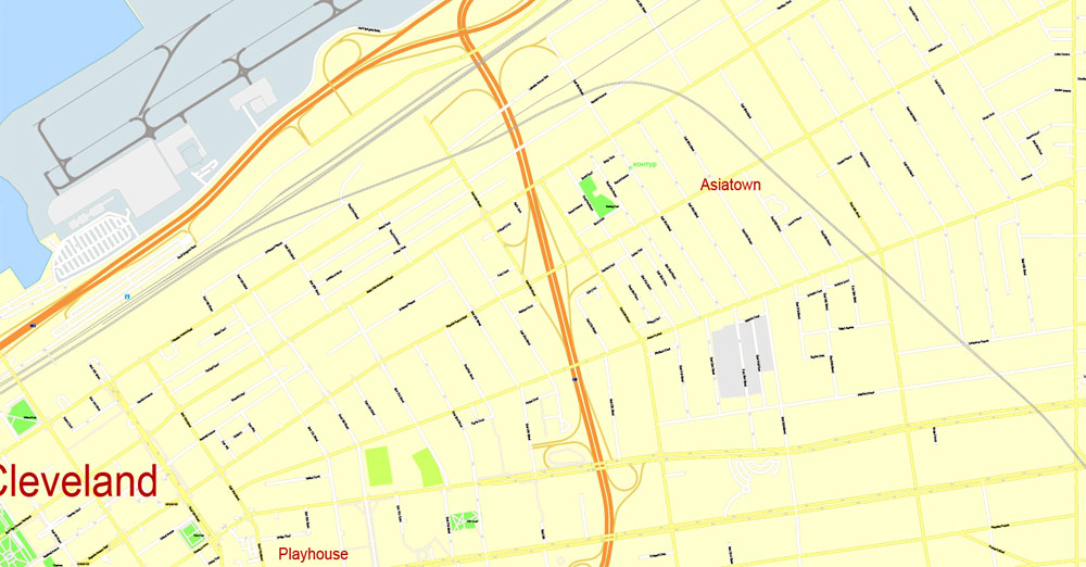
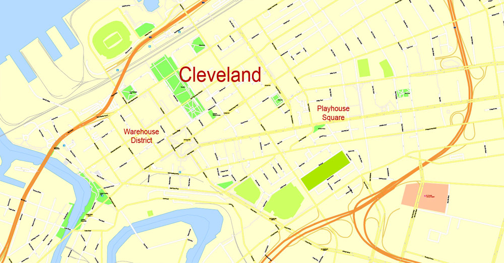
Downtown Cleveland is centered on Public Square and includes a wide range of districts. It contains the traditional Financial District and Civic Center, as well as the Cleveland Theater District, which is home to Playhouse Square Center.
The number of downtown housing units, in the form of condominiums, lofts, and apartments, has been on the increase since 2000.
Recent developments include the revival of the Flats, the Euclid Corridor Project, and the developments along East 4th Street. Cleveland residents geographically define themselves in terms of whether they live on the east or west side of the Cuyahoga River.
The Cleveland city map in vector format is used for design, urban planning, presentations and media visualizations.
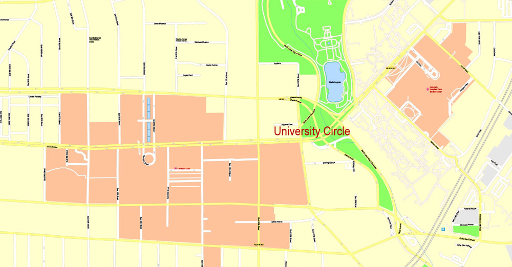
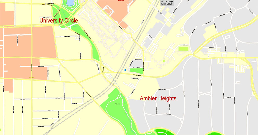
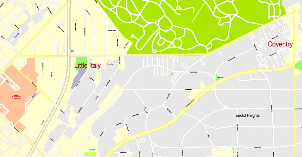
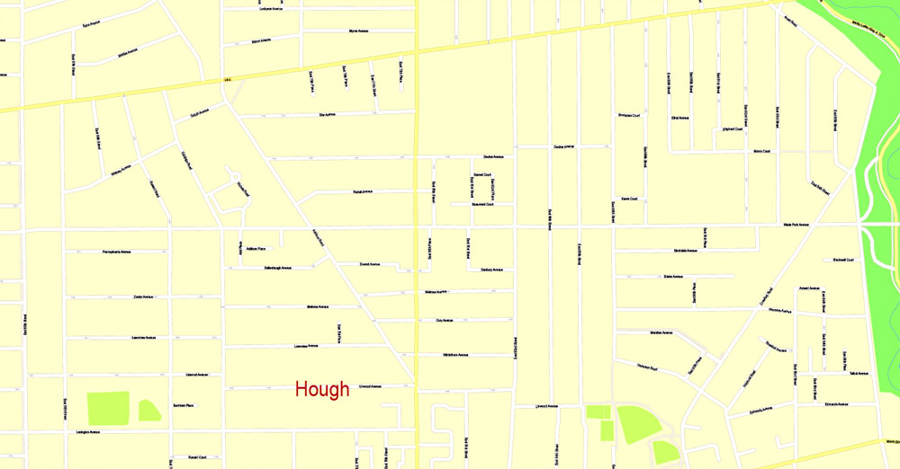
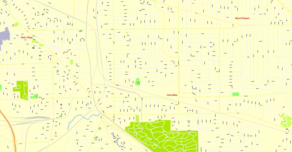
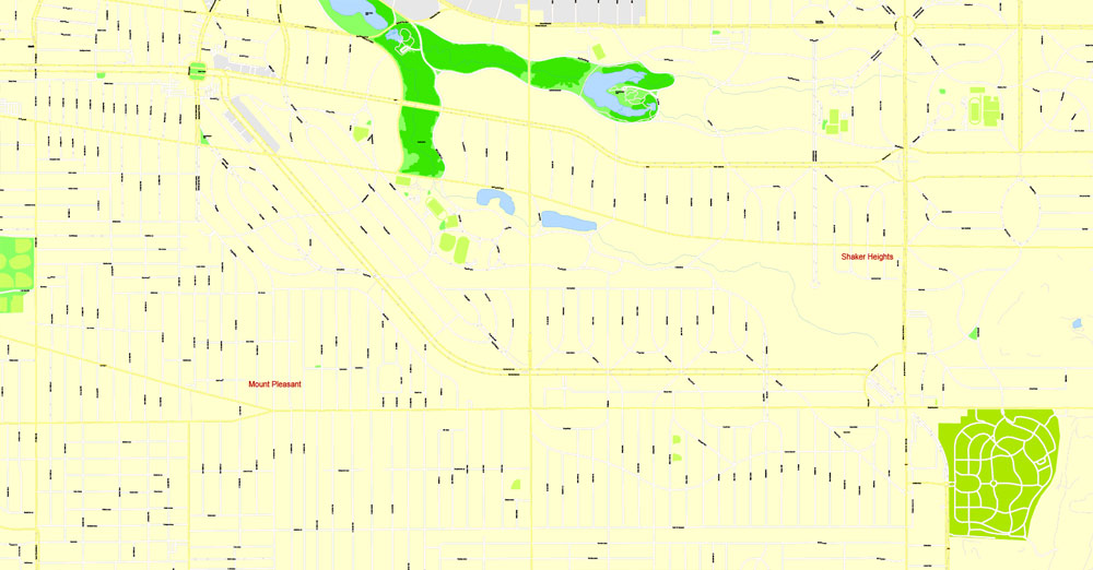
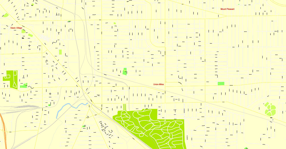
The east side includes the neighborhoods of Buckeye-Shaker, Central, Collinwood, Corlett, Euclid-Green, Fairfax, Forest Hills, Glenville, Payne/Goodrich-Kirtland Park, Hough, Kinsman, Lee Harvard/Seville-Miles, Mount Pleasant, Nottingham, St. Clair-Superior, Union-Miles Park, University, Little Italy, and Woodland Hills.
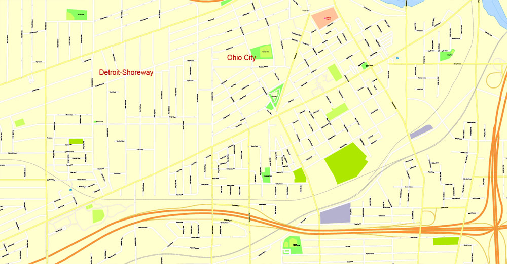
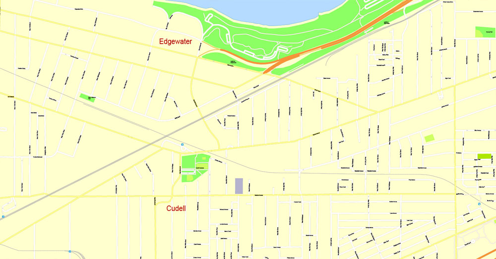
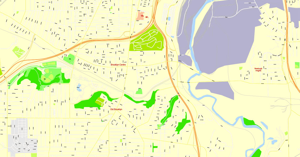
The west side includes the neighborhoods of Brooklyn Centre, Clark-Fulton, Detroit-Shoreway, Cudell, Edgewater, Ohio City, Tremont, Old Brooklyn, Stockyards, West Boulevard, and the four neighborhoods colloquially known as West Park: Kamm’s Corners, Jefferson, Puritas-Longmead, and Riverside.
Several inner-city neighborhoods have begun to gentrify in recent years. Areas on both the west side (Ohio City, Tremont, Detroit-Shoreway, and Edgewater) and the east side (Collinwood, Hough, Fairfax, and Little Italy) have been successful in attracting increasing numbers of creative class members, which in turn is spurring new residential development.
Furthermore, a live-work zoning overlay for the city’s near east side has facilitated the transformation of old industrial buildings into loft spaces for artists.
Suburbs
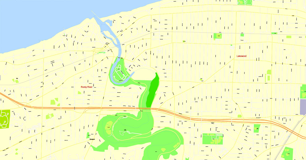
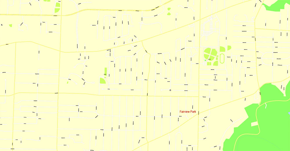
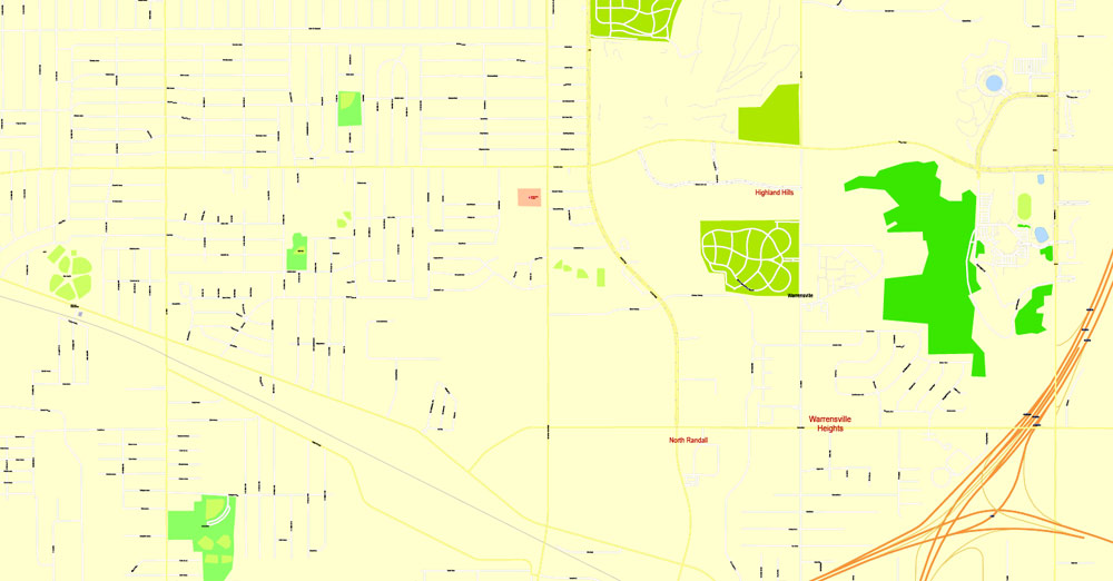
Cleveland’s older, inner-ring suburbs include Bedford, Bedford Heights, Brook Park, Brooklyn, Brooklyn Heights, Cleveland Heights, Cuyahoga Heights, East Cleveland, Euclid, Fairview Park, Garfield Heights, Lakewood, Linndale, Maple Heights, Newburgh Heights, Parma, Parma Heights, Shaker Heights, Solon, South Euclid, University Heights and Warrensville Heights.
Many of the suburbs are members of the Northeast Ohio First Suburbs Consortium.
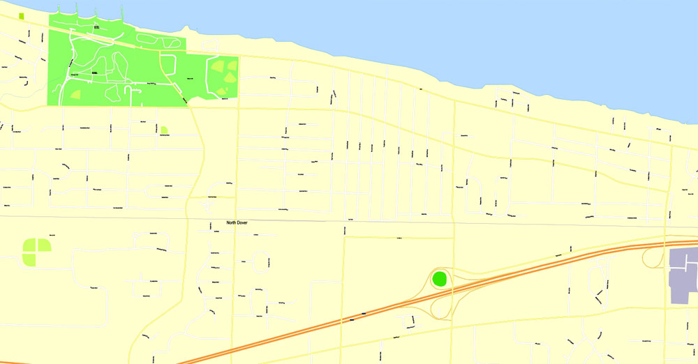
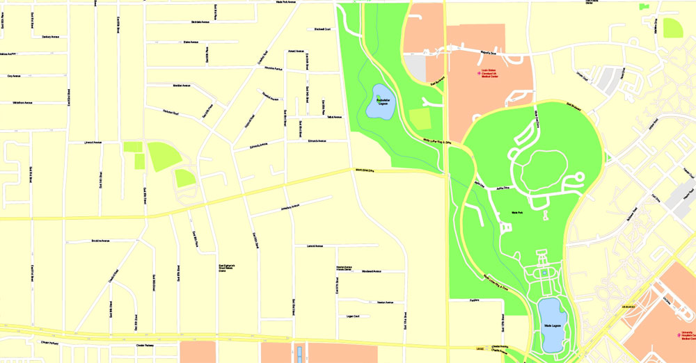
Parks and gardens
Cleveland is home to four of the parks in the countywide Cleveland Metroparks system, as well as the: Washington Park, Brookside Park and parts of the Rocky River and Washington Reservations. Known locally as the “Emerald Necklace”, the Olmsted-inspired Metroparks encircle Cuyahoga county. Included in the system is the Cleveland Metroparks Zoo.
Located in Big Creek valley, the zoo contains one of the largest collection of primates in North America. In addition to the Metroparks system, the Cleveland Lakefront State Park district provides public access to Lake Erie.
This cooperative between the City of Cleveland and the State of Ohio contains six parks: Edgewater Park, located on the city’s near west side between the Shoreway and the lake; East 55th Street Marina, Euclid Beach Park and Gordon Park.
Free vector maps:

Free download Vector Map US Interstate roads, Adobe PDF, V.2 Free_Map_US_Interstates_Roads_2.pdf
Free download Vector Map US Interstate roads, Adobe Illustrator, V.2 Free_Map_US_Interstates_Roads_2.ai

Free Download Vector Map US County and State Adobe Illustrator
Free_Vector_Map_US_States_County_Map.ai
Free Download Vector Map US County and State Adobe PDF
Free_Vector_Map_US_States_County_Map.pdf

Free Vector Map US Census Data Top US Ancestries by County Adobe Illustrator
Free_Vector_Map_US_Census-Data-Top-US-Ancestries-by-County.ai
Free Vector Map US Census Data Top US Ancestries by County Adobe PDF
Free_Vector_Map_US_Census-Data-Top-US-Ancestries-by-County.pdf

 Author: Kirill Shrayber, Ph.D. FRGS


