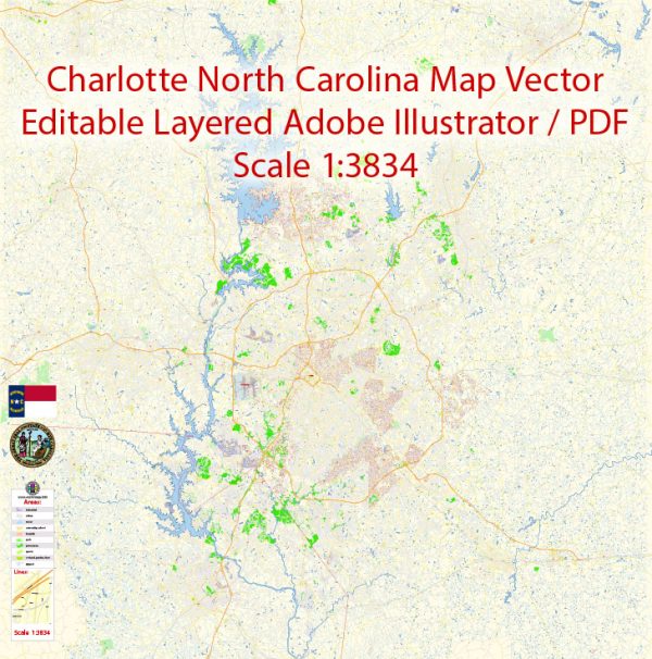
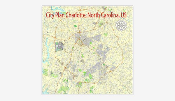
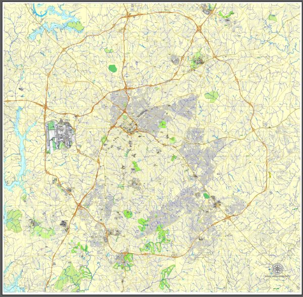
A general overview of the economic and transportation landscape in Charlotte, North Carolina.
Vectormap.Net provide you with the most accurate and up-to-date vector maps in Adobe Illustrator, PDF and other formats, designed for editing and printing. Please read the vector map descriptions carefully.
Economic Overview: Charlotte is a major financial hub in the United States, and its economy has diversified over the years. Here are some key points about Charlotte’s economy:
- Banking and Finance: Charlotte is often referred to as the second-largest banking center in the United States, after New York City. It is home to the headquarters of Bank of America and Wells Fargo’s East Coast operations.
- Energy Sector: The city has a growing energy sector, with companies like Duke Energy, one of the largest electric power holding companies in the country, headquartered in Charlotte.
- Healthcare: The healthcare sector is significant, with major healthcare providers and research institutions contributing to the local economy.
- Technology and Innovation: The city has been making efforts to diversify its economy, and the technology sector has been growing steadily. The presence of tech companies and startups has increased in recent years.
- Manufacturing and Logistics: Charlotte has a robust manufacturing sector, particularly in the areas of aerospace and automotive. The city’s strategic location and transportation infrastructure contribute to its role as a major logistics and distribution hub.
- Real Estate: The real estate market has seen growth, with a mix of commercial and residential developments. Charlotte has experienced population growth, contributing to increased demand in the housing sector.
Transportation: Charlotte’s transportation infrastructure is well-developed, supporting the city’s economic activities. Here are key aspects of transportation in Charlotte:
- Charlotte Douglas International Airport: This airport is a major transportation hub, serving as a key connecting point for domestic and international flights.
- Interstate Highways: Charlotte is intersected by several major highways, including I-85 and I-77, facilitating the movement of goods and people throughout the region.
- Public Transit: The Charlotte Area Transit System (CATS) provides public transportation services, including buses and the LYNX light rail system, connecting various parts of the city.
- Rail: Charlotte has a rail network that plays a role in both freight and passenger transport. Amtrak provides passenger rail services connecting Charlotte to other cities.
- Port Facilities: Although Charlotte is inland, it is served by the Port of Wilmington, which provides access to international shipping routes.
- Urban Planning: The city has made efforts to invest in urban planning and infrastructure projects to manage the growing population and enhance transportation efficiency.
Keep in mind that economic and transportation conditions can change, so it’s advisable to check more recent sources for the latest information on Charlotte’s economic and transportation landscape.


 Author: Kirill Shrayber, Ph.D. FRGS