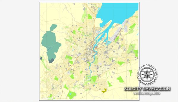
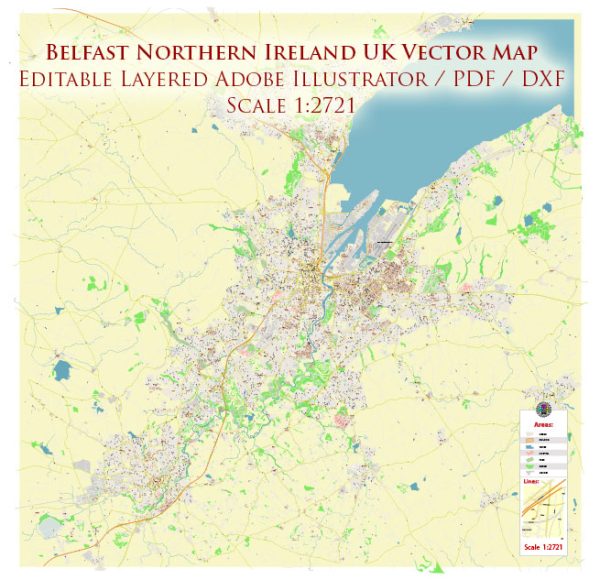
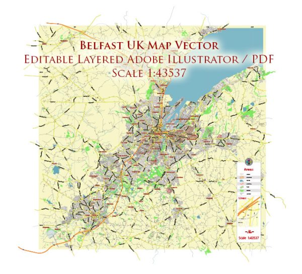
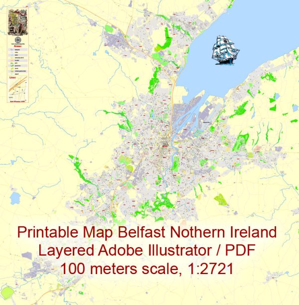
Belfast, located in Northern Ireland, is the capital and largest city of the region. The political and economic history of Belfast is closely tied to the broader history of Ireland and the United Kingdom.
Vectormap.Net provide you with the most accurate and up-to-date vector maps in Adobe Illustrator, PDF and other formats, designed for editing and printing. Please read the vector map descriptions carefully.
Here is a brief overview:
Political History:
Early History:
- Medieval Period: Belfast has ancient origins, dating back to the Bronze Age. It became a significant settlement during the medieval period, and its name is derived from the Irish language, meaning “mouth of the sandbanks.”
17th Century:
- Plantation of Ulster: In the early 17th century, the Plantation of Ulster took place, where settlers from England and Scotland were encouraged to move to Ireland, leading to significant demographic changes in the region.
19th Century:
- Industrialization: The 19th century saw Belfast transforming into an industrial powerhouse, especially with the growth of linen and shipbuilding industries. Harland and Wolff shipyard, famous for building the RMS Titanic, played a crucial role in the city’s economic development.
20th Century:
- Partition of Ireland (1921): After the Anglo-Irish Treaty of 1921, Ireland was partitioned into Northern Ireland (remaining part of the United Kingdom) and the Irish Free State (later the Republic of Ireland). Belfast became the capital of Northern Ireland.
Troubles (1969-1998):
- Civil Unrest: The late 20th century witnessed the Troubles, a period of ethno-nationalist conflict, primarily between the nationalist Catholic community seeking Irish reunification and the unionist Protestant community supporting Northern Ireland’s status within the UK.
Good Friday Agreement (1998):
- Peace Process: The Good Friday Agreement, signed in 1998, marked a turning point in the conflict. It established a devolved government for Northern Ireland and outlined the path for peace and political stability.
21st Century:
- Power-Sharing: Belfast has experienced periods of political instability, with the suspension and restoration of the devolved government. Power-sharing arrangements, involving both nationalist and unionist parties, have been integral to the political landscape.
Economic History:
18th-19th Centuries:
- Linen and Shipbuilding: Belfast’s economy thrived in the 18th and 19th centuries, driven by the linen industry and shipbuilding. Harland and Wolff shipyard became a global leader in ship construction.
20th Century:
- Deindustrialization: The mid-20th century witnessed a decline in traditional industries. Deindustrialization, coupled with the Troubles, had a detrimental impact on the economy.
Post-Troubles Era:
- Economic Revitalization: In the post-Troubles era, Belfast underwent economic revitalization. Investments in tourism, services, and technology sectors contributed to the city’s resurgence.
Present:
- Diverse Economy: Belfast’s economy is now diverse, with strengths in finance, information technology, and tourism. The city has become a hub for the creative industries and has attracted foreign investment.
In summary, Belfast’s history is marked by industrialization, political unrest, and economic transformation. The Troubles had a profound impact on the city, but the peace process and subsequent economic development have shaped Belfast into a dynamic and evolving urban center.


 Author: Kirill Shrayber, Ph.D. FRGS