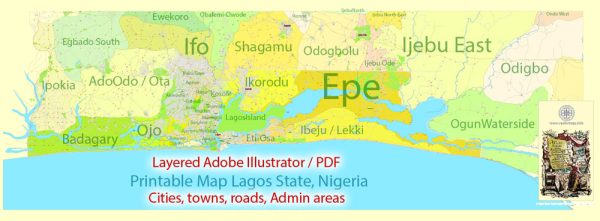
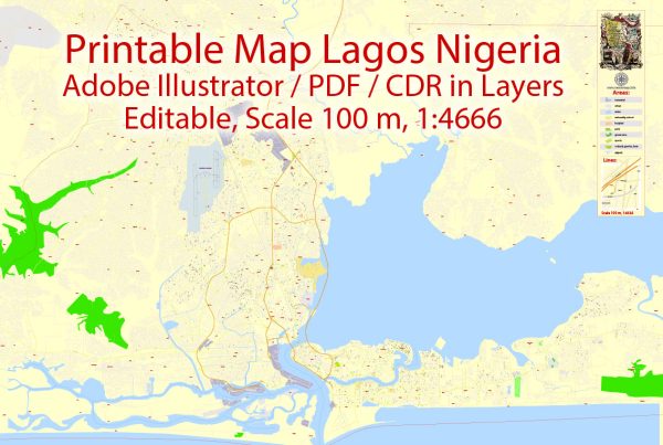
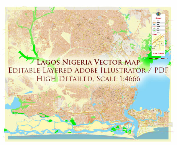
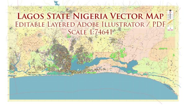
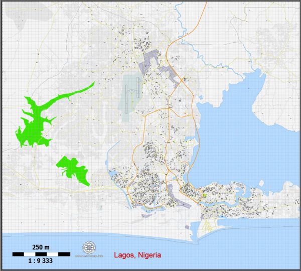
Lagos is a vast and diverse city with a variety of districts and neighborhoods, each with its own unique characteristics, culture, and atmosphere. Vectormap.Net provide you with the most accurate and up-to-date vector maps in Adobe Illustrator, PDF and other formats, designed for editing and printing. Please read the vector map descriptions carefully. Here are some of the notable districts and neighborhoods in Lagos:
- Victoria Island (VI):
- Description: Victoria Island is one of the most upscale and affluent areas in Lagos. It is a major financial and commercial hub with many high-rise buildings, luxury hotels, and corporate offices.
- Features: Victoria Island is known for its vibrant nightlife, high-end shopping malls like the Palms Shopping Mall, and the beautiful Eko Atlantic City development along the Atlantic Ocean.
- Ikoyi:
- Description: Adjacent to Victoria Island, Ikoyi is another affluent neighborhood with exclusive residential areas, embassies, and diplomatic missions.
- Features: Ikoyi is characterized by tree-lined streets, luxury mansions, and upscale amenities. It is also home to Ikoyi Club 1938, a prestigious social and recreational club.
- Lekki:
- Description: Lekki is a rapidly growing and developing area known for its modern residential estates, commercial centers, and entertainment facilities.
- Features: Lekki Phase 1 and Lekki Phase 2 are popular residential estates, and the Lekki Conservation Centre offers a natural escape. The area also has the Lekki Free Trade Zone and several beaches.
- Ikeja:
- Description: Ikeja is the capital of Lagos State and serves as an administrative and commercial center. It is home to government offices, the Murtala Muhammed International Airport, and the Lagos State Secretariat.
- Features: Ikeja also has a mix of residential and commercial areas, including the Alausa CBD (Central Business District) and the popular Computer Village, a hub for technology and electronics.
- Surulere:
- Description: Surulere is a historic and culturally rich neighborhood known for its diverse population and lively atmosphere.
- Features: Surulere has a mix of residential and commercial areas, and it is home to the National Stadium. The area has a vibrant music scene and is associated with the development of Nigerian popular music.
- Yaba:
- Description: Yaba is known as the educational hub of Lagos, with several universities and educational institutions located in the area.
- Features: Yaba is home to the University of Lagos (UNILAG) and the Yaba College of Technology. It has a youthful and dynamic atmosphere, with a growing tech community.
- Ajao Estate:
- Description: Located near the Murtala Muhammed International Airport, Ajao Estate is a residential area known for its proximity to transportation hubs.
- Features: It is a popular choice for individuals who work at the airport or in nearby areas. The estate has various residential developments, including apartments and duplexes.
- Ikorodu:
- Description: Ikorodu is a suburb located to the northeast of Lagos. It has a mix of residential and industrial areas.
- Features: Ikorodu is known for its historical sites, such as the Ikorodu Town Hall, and it serves as a gateway to other parts of Nigeria.
These descriptions provide a snapshot of the diversity within Lagos, showcasing how different districts and neighborhoods cater to various lifestyles, economic activities, and cultural preferences.

 Author: Kirill Shrayber, Ph.D. FRGS