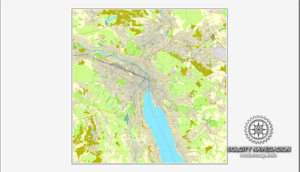
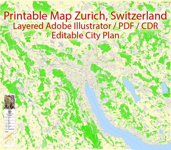
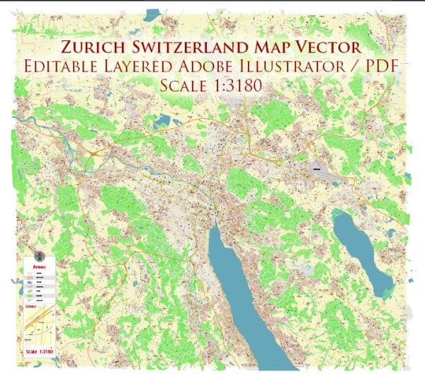
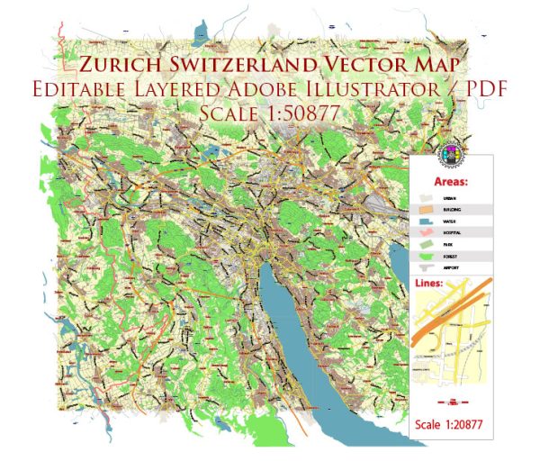
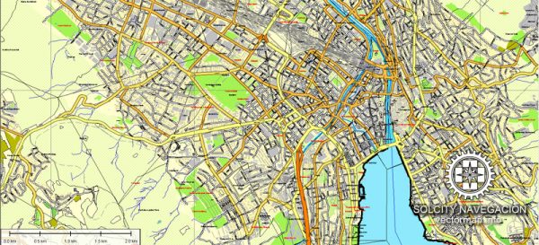
Zurich, Switzerland, is a city known for its picturesque setting on the shores of Lake Zurich and the Limmat River. Here’s an overview of the principal waterways, bridges, and main streets in Zurich:
Waterways:
- Lake Zurich: One of the main water bodies, Lake Zurich, is a large and scenic lake that stretches southeast to northwest. The lake plays a crucial role in the city’s beauty and recreational activities.
- Limmat River: The Limmat River flows through the heart of Zurich, dividing the city into the eastern and western parts. The river is lined with promenades and green spaces, offering a charming atmosphere.
Bridges:
- Bahnhofbrücke: This is one of the oldest and most iconic bridges in Zurich. It spans the Limmat River and connects the central train station (Zurich Hauptbahnhof) with the old town.
- Münsterbrücke: Located near Grossmünster Church, this bridge offers fantastic views of the Limmat River and the old town. It’s a popular spot for both locals and tourists.
- Quaibrücke: Connecting the Bellevue area with the eastern part of the city, Quaibrücke is a prominent bridge offering stunning views of Lake Zurich and the surrounding mountains.
- Uetlibergbahn Bridge: This bridge is part of the railway infrastructure and provides a connection to Uetliberg, a popular vantage point offering panoramic views of Zurich.
Main Streets:
- Bahnhofstrasse: One of the world’s most exclusive shopping streets, Bahnhofstrasse runs from Zurich Hauptbahnhof (main train station) to Lake Zurich. It is lined with high-end shops, boutiques, and department stores.
- Niederdorf: This is the historical part of Zurich’s old town, characterized by narrow streets, medieval buildings, and a vibrant atmosphere. Niederdorf is known for its cafes, restaurants, and boutique shops.
- Limmatquai: Running alongside the Limmat River, Limmatquai is a picturesque promenade lined with shops, restaurants, and historical buildings. It’s a great place for a leisurely stroll.
- Lindenhof: While not a street, Lindenhof is a historic hilltop park in the heart of the old town, offering peaceful surroundings and beautiful views of the city.
These waterways, bridges, and streets collectively contribute to Zurich’s unique charm, combining modernity with a rich historical and cultural heritage. The city’s well-planned layout makes it a delight to explore on foot, providing residents and visitors with an opportunity to experience its beauty from various vantage points.
Vectormap.Net provide you with the most accurate and up-to-date vector maps in Adobe Illustrator, PDF and other formats, designed for editing and printing. Please read the vector map descriptions carefully.

 Author: Kirill Shrayber, Ph.D. FRGS